Black Wood

Wood, Forest in Perthshire

Scotland

Black Wood

Glendoick Garden Centre A handy stop for a light meal as well as a garden centre with all the trimmings.
Glendoick Garden Centre Credit: Anne Burgess

Black Wood is a picturesque forest located in Perthshire, Scotland. This ancient woodland covers an area of approximately 1,500 hectares and is situated on the southern slopes of the Highland Boundary Fault. The forest is named after the dark color of its dense canopy, which is primarily composed of Scots pine, oak, and birch trees.

This woodland is renowned for its rich biodiversity and is home to a wide variety of flora and fauna. The forest floor is carpeted with a diverse range of plants, including bluebells, wood sorrel, and mosses. The presence of these plants attracts a multitude of insects, making it a haven for bird species such as woodpeckers, jays, and chiffchaffs.

Black Wood is also home to a population of red squirrels, which are a rare and protected species in Scotland. These playful creatures can often be spotted foraging among the trees, providing visitors with a delightful sight.

Visitors to Black Wood can explore the forest via a network of well-maintained trails. These paths offer breathtaking views of the surrounding countryside and provide opportunities for wildlife spotting and birdwatching. Additionally, the forest is crisscrossed by small streams and has several picnic areas, making it an ideal location for a family day out.

Overall, Black Wood is a natural gem in Perthshire, offering visitors a chance to immerse themselves in the beauty of Scotland's ancient woodlands and encounter its diverse wildlife.

If you have any feedback on the listing, please let us know in the comments section below.
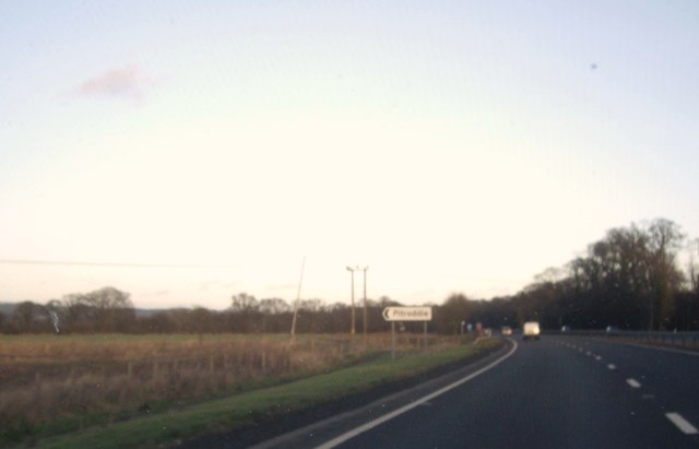
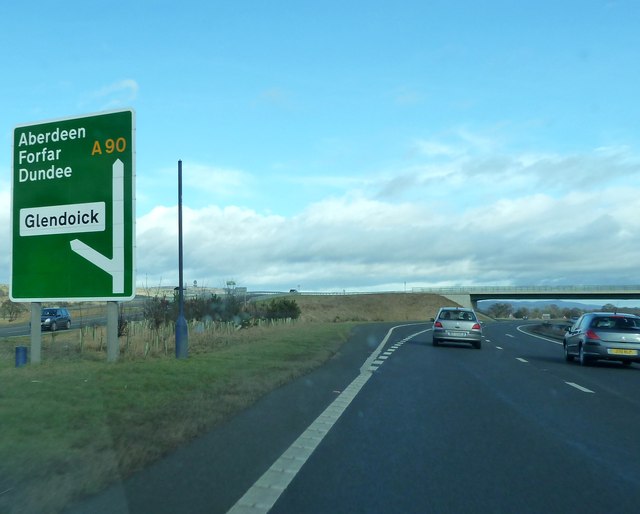
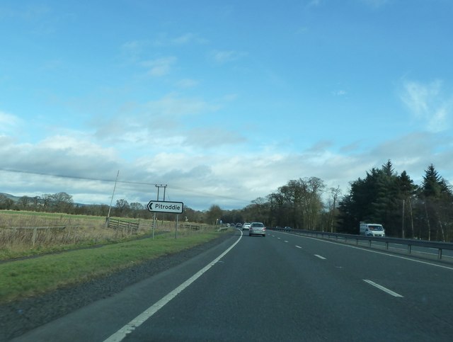
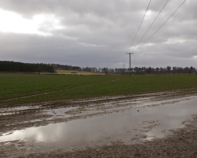
Black Wood Images

Images are sourced within 2km of 56.386252/-3.2571633 or Grid Reference NO2222. Thanks to Geograph Open Source API. All images are credited.

Glendoick Garden Centre A handy stop for a light meal as well as a garden centre with all the trimmings.
Glendoick Garden Centre
A handy stop for a light meal as well as a garden centre with all the trimmings.
Approaching the Glendoick exit on the A90 road Photographer is above the paved left travel lane.
Approaching the Glendoick exit on the A90 road
Photographer is above the paved left travel lane.
Stubble field Looking towards Leetown from the Gallowhill farm track
Stubble field
Looking towards Leetown from the Gallowhill farm track
A90, Approaching the Glendoich Turn Off The A90 road is a major north to south highway in eastern Scotland, starting in Edinburgh and running for 146 miles up the majority of the east coast to end in Fraserburgh (although immediately north of the Forth it has been replaced by the similarly numbered M90).
A90, Approaching the Glendoich Turn Off
The A90 road is a major north to south highway in eastern Scotland, starting in Edinburgh and running for 146 miles up the majority of the east coast to end in Fraserburgh (although immediately north of the Forth it has been replaced by the similarly numbered M90).
Southbound A90, Glendoick Exit The A90 road is a major north to south highway in eastern Scotland, starting in Edinburgh and running for 146 miles up the majority of the east coast to end in Fraserburgh (although immediately north of the Forth it has been replaced by the similarly numbered M90).
Southbound A90, Glendoick Exit
The A90 road is a major north to south highway in eastern Scotland, starting in Edinburgh and running for 146 miles up the majority of the east coast to end in Fraserburgh (although immediately north of the Forth it has been replaced by the similarly numbered M90).
Junction for Pitroddie Off A90 near Myreside.
Junction for Pitroddie
Off A90 near Myreside.
A90 overpass at Glendoick
A90 approaching Glendoick sliproad
Approaching Pitroddie turning on the A90
Scene on the dual carriageway near Glendoick
Fields near the railway line Near Durdie
Fields near the railway line
Near Durdie
Fields near the railway line Near Glendoick
Fields near the railway line
Near Glendoick
Fields from the railway line Near Glendoick
Fields from the railway line
Near Glendoick
Fields near the railway line Near Glendoick
Fields near the railway line
Near Glendoick
Minor road at Glendoick
Road junction at Glendoick
Farmland at Hill of Errol A wide expanse of farmland north of the River Tay, and near to Hill of Errol.
Farmland at Hill of Errol
A wide expanse of farmland north of the River Tay, and near to Hill of Errol.
Farmland near Inchcoonans Farmland near Inchcoonans, waterlogged in places after several days of wet weather.
Farmland near Inchcoonans
Farmland near Inchcoonans, waterlogged in places after several days of wet weather.
Show me another place!

Black Wood is located at Grid Ref: NO2222 (Lat: 56.386252, Lng: -3.2571633)

Unitary Authority: Perth and Kinross

Police Authority: Tayside

What 3 Words

///upholding.mixer.sleeper. Near Errol, Perth & Kinross

Nearby Locations

Ancothie Wood Black Wood

Related Wikis

Leetown, Perth and Kinross

Leetown is a small community located at the western end of the Carse of Gowrie along the eastern seaboard of Scotland. It lies between the A90 road and...

Cottown, Perth and Kinross

Cottown is a village in Perth and Kinross, Scotland, east of the village of St.Madoes and approximately 8 miles (13 kilometres) east of Perth. This area...

Errol, Perth and Kinross

Errol is a village in Perth and Kinross, Scotland about halfway between Dundee and Perth. It is one of the principal settlements of the Carse of Gowrie...

All Saints Church, Glencarse

All Saints Church is an Episcopal church in the Diocese of Brechin, located in the Scottish village of Glencarse, Perth and Kinross. Still in use as a...

Nearby Amenities

Located within 500m of 56.386252,-3.2571633
Power: tower
Lat/Long: 56.3849702/-3.2619801
Power: tower
Lat/Long: 56.3870127/-3.2588885
Power: pole
Lat/Long: 56.3904982/-3.2588678
Power: pole
Lat/Long: 56.3906853/-3.257355
Power: tower
Source: Bing
Lat/Long: 56.3885928/-3.2562692
The data included in this document is from www.openstreetmap.org. The data is made available under ODbL.

Have you been to Black Wood?

Leave your review of Black Wood below (or comments, questions and feedback).