Ancothie Wood

Wood, Forest in Perthshire

Scotland

Ancothie Wood

Glendoick Garden Centre A handy stop for a light meal as well as a garden centre with all the trimmings.
Glendoick Garden Centre Credit: Anne Burgess

Ancothie Wood is a picturesque forest located in Perthshire, Scotland. It is nestled amidst the breathtaking landscape of the Scottish Highlands, making it a popular destination for nature lovers and outdoor enthusiasts. The wood covers an area of approximately 50 acres and is home to a diverse range of flora and fauna.

The woodland is predominantly composed of native trees such as Scots pine, oak, and birch, creating a rich and varied ecosystem. The dense canopy provides a sheltered habitat for numerous bird species, including the elusive capercaillie and the vibrant Scottish crossbill. Visitors may also spot red squirrels, badgers, and deer roaming freely in the forest.

Ancothie Wood offers a network of well-marked trails that wind their way through the woodland, allowing visitors to explore its natural beauty at their own pace. The paths lead to scenic viewpoints, tranquil ponds, and ancient ruins, adding a touch of history to the overall experience.

During spring and summer, the forest comes alive with a riot of colors as wildflowers carpet the forest floor. Bluebells, primroses, and wood sorrels create a breathtaking display, attracting not only human admirers but also a myriad of insects and butterflies.

The wood is managed by a dedicated team of conservationists who strive to protect its fragile ecosystem. Visitors are encouraged to respect the environment and adhere to the designated paths to minimize their impact on the delicate balance of nature.

Ancothie Wood offers a peaceful retreat from the hustle and bustle of everyday life, providing a haven for both wildlife and humans alike. It is a place where one can reconnect with nature and experience the true beauty of Scotland's natural heritage.

If you have any feedback on the listing, please let us know in the comments section below.

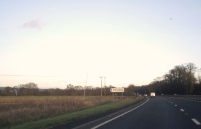
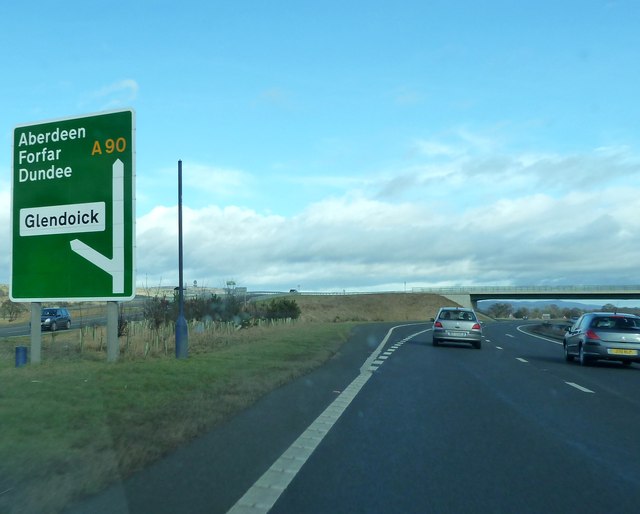
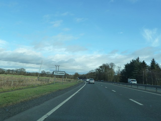
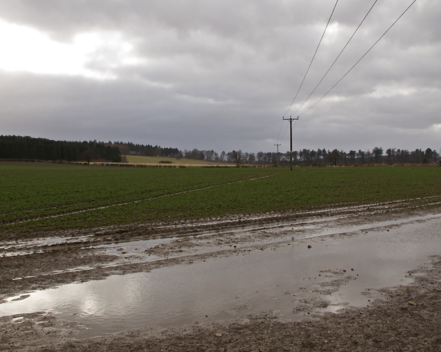
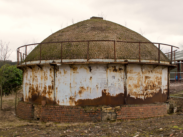
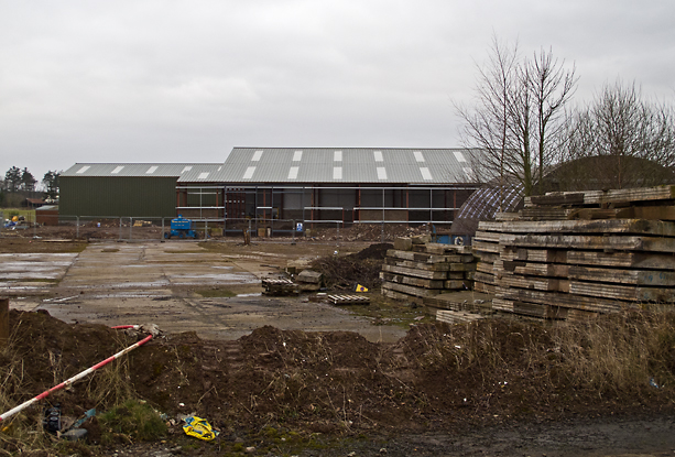
Ancothie Wood Images

Images are sourced within 2km of 56.388858/-3.2544955 or Grid Reference NO2222. Thanks to Geograph Open Source API. All images are credited.

Glendoick Garden Centre A handy stop for a light meal as well as a garden centre with all the trimmings.
Glendoick Garden Centre
A handy stop for a light meal as well as a garden centre with all the trimmings.
Approaching the Glendoick exit on the A90 road Photographer is above the paved left travel lane.
Approaching the Glendoick exit on the A90 road
Photographer is above the paved left travel lane.
A90, Approaching the Glendoich Turn Off The A90 road is a major north to south highway in eastern Scotland, starting in Edinburgh and running for 146 miles up the majority of the east coast to end in Fraserburgh (although immediately north of the Forth it has been replaced by the similarly numbered M90).
A90, Approaching the Glendoich Turn Off
The A90 road is a major north to south highway in eastern Scotland, starting in Edinburgh and running for 146 miles up the majority of the east coast to end in Fraserburgh (although immediately north of the Forth it has been replaced by the similarly numbered M90).
Southbound A90, Glendoick Exit The A90 road is a major north to south highway in eastern Scotland, starting in Edinburgh and running for 146 miles up the majority of the east coast to end in Fraserburgh (although immediately north of the Forth it has been replaced by the similarly numbered M90).
Southbound A90, Glendoick Exit
The A90 road is a major north to south highway in eastern Scotland, starting in Edinburgh and running for 146 miles up the majority of the east coast to end in Fraserburgh (although immediately north of the Forth it has been replaced by the similarly numbered M90).
Junction for Pitroddie Off A90 near Myreside.
Junction for Pitroddie
Off A90 near Myreside.
A90 overpass at Glendoick
A90 approaching Glendoick sliproad
Approaching Pitroddie turning on the A90
Fields near the railway line Near Durdie
Fields near the railway line
Near Durdie
Fields near the railway line Near Glendoick
Fields near the railway line
Near Glendoick
Fields from the railway line Near Glendoick
Fields from the railway line
Near Glendoick
Fields near the railway line Near Glendoick
Fields near the railway line
Near Glendoick
Minor road at Glendoick
Road junction at Glendoick
Farmland near Inchcoonans Farmland near Inchcoonans, waterlogged in places after several days of wet weather.
Farmland near Inchcoonans
Farmland near Inchcoonans, waterlogged in places after several days of wet weather.
Beehive kiln, Inchcoonans One of two beehive kilns at the disused brickworks in Inchcoonans - now listed buildings(*). These were capable of firing up to 100,000 bricks simultaneously. A number of brickworks were situated in this area - an example of the relationship between geology and land use - local deposits of alluvial clay can be seen on the Geology of Britain viewer: <span class="nowrap"><a title="http://mapapps.bgs.ac.uk/geologyofbritain/home.html" rel="nofollow ugc noopener" href="http://mapapps.bgs.ac.uk/geologyofbritain/home.html">Link</a><img style="margin-left:2px;" alt="External link" title="External link - shift click to open in new window" src="https://s1.geograph.org.uk/img/external.png" width="10" height="10"/></span>

* Reference: British Listed Buildings; Inchcoonans Road, Errol Brick Company Brick Stacks and Kilns, Errol. <span class="nowrap"><a title="http://www.britishlistedbuildings.co.uk/sc-48180-inchcoonans-road-errol-brick-company-bric" rel="nofollow ugc noopener" href="http://www.britishlistedbuildings.co.uk/sc-48180-inchcoonans-road-errol-brick-company-bric">Link</a><img style="margin-left:2px;" alt="External link" title="External link - shift click to open in new window" src="https://s1.geograph.org.uk/img/external.png" width="10" height="10"/></span>
Beehive kiln, Inchcoonans
One of two beehive kilns at the disused brickworks in Inchcoonans - now listed buildings(*). These were capable of firing up to 100,000 bricks simultaneously. A number of brickworks were situated in this area - an example of the relationship between geology and land use - local deposits of alluvial clay can be seen on the Geology of Britain viewer: LinkExternal link * Reference: British Listed Buildings; Inchcoonans Road, Errol Brick Company Brick Stacks and Kilns, Errol. LinkExternal link
Inchcoonans brickworks site The former brickworks at Inchcoonans - with new building work in progress in March 2013.
Inchcoonans brickworks site
The former brickworks at Inchcoonans - with new building work in progress in March 2013.
Fields at North Murie, Carse of Gowrie Looking towards the farm at Nether Durdie.
Fields at North Murie, Carse of Gowrie
Looking towards the farm at Nether Durdie.
Show me another place!

Ancothie Wood is located at Grid Ref: NO2222 (Lat: 56.388858, Lng: -3.2544955)

Unitary Authority: Perth and Kinross

Police Authority: Tayside

What 3 Words

///outpost.mush.dolls. Near Errol, Perth & Kinross

Nearby Locations

Ancothie Wood Black Wood

Related Wikis

Leetown, Perth and Kinross

Leetown is a small community located at the western end of the Carse of Gowrie along the eastern seaboard of Scotland. It lies between the A90 road and...

Cottown, Perth and Kinross

Cottown is a village in Perth and Kinross, Scotland, east of the village of St.Madoes and approximately 8 miles (13 kilometres) east of Perth. This area...

Errol, Perth and Kinross

Errol is a village in Perth and Kinross, Scotland about halfway between Dundee and Perth. It is one of the principal settlements of the Carse of Gowrie...

Megginch Castle

Megginch Castle is a 15th-century castle in Perth and Kinross, in central Scotland. It was the family home of Cherry, 16th Baroness Strange. It is now...

Nearby Amenities

Located within 500m of 56.388858,-3.2544955
Power: tower
Lat/Long: 56.3870127/-3.2588885
Power: tower
Lat/Long: 56.390638/-3.2611262
Power: tower
Source: Bing
Lat/Long: 56.392983/-3.2570527
Power: pole
Lat/Long: 56.3904982/-3.2588678
Power: pole
Lat/Long: 56.3923402/-3.2508523
Power: pole
Lat/Long: 56.3919958/-3.2525539
Power: pole
Lat/Long: 56.3902933/-3.2607614
Power: pole
Lat/Long: 56.3906853/-3.257355
Power: tower
Source: Bing
Lat/Long: 56.3904845/-3.2531328
Power: tower
Source: Bing
Lat/Long: 56.3923402/-3.2499989
Power: tower
Source: Bing
Lat/Long: 56.3885928/-3.2562692
The data included in this document is from www.openstreetmap.org. The data is made available under ODbL.

Have you been to Ancothie Wood?

Leave your review of Ancothie Wood below (or comments, questions and feedback).