Rig Plantation

Wood, Forest in Peeblesshire

Scotland

Rig Plantation

Wind damage in Cloich Forest Trees blown down and some snapped off in the forest near Middle Burn.
Wind damage in Cloich Forest Credit: Jim Barton

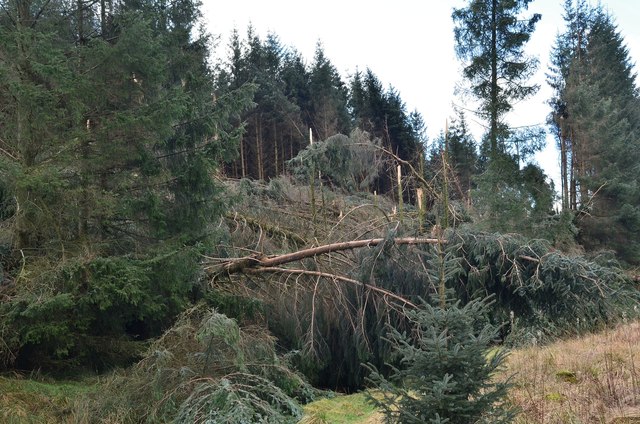
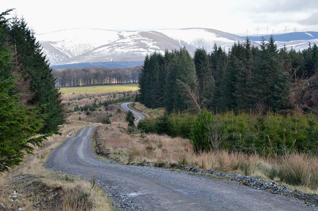
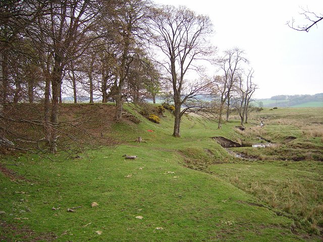
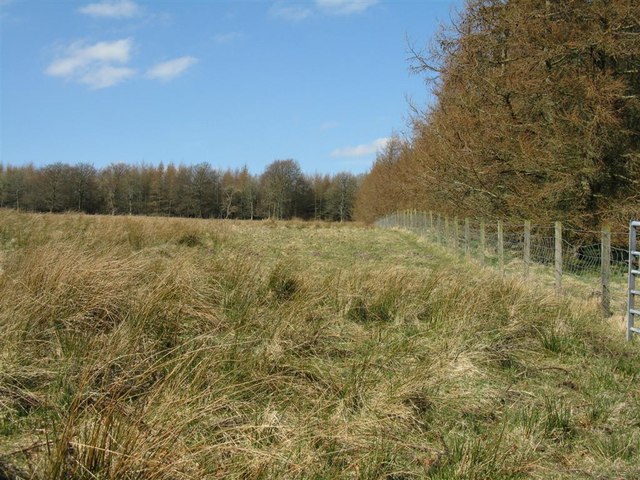
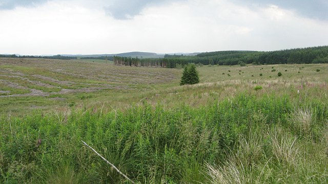
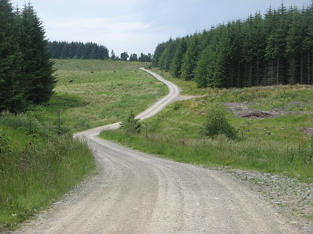
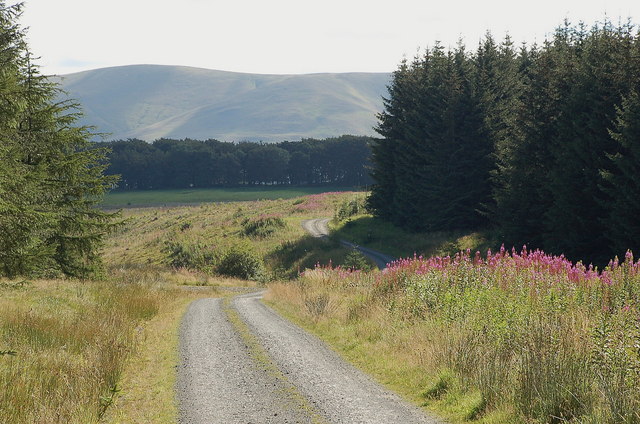
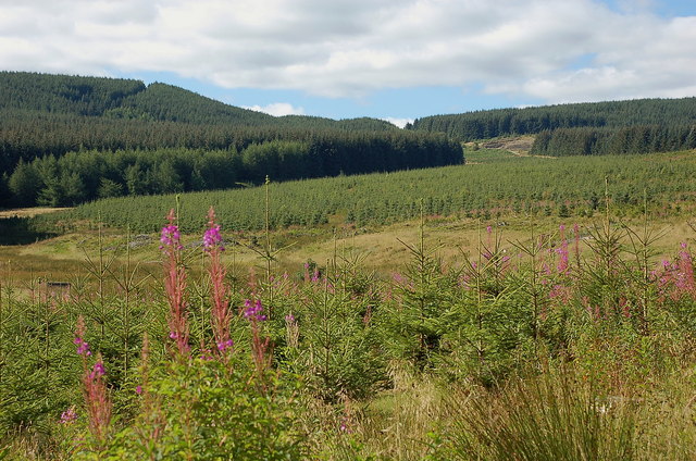
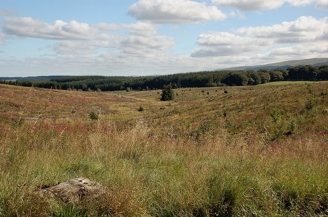
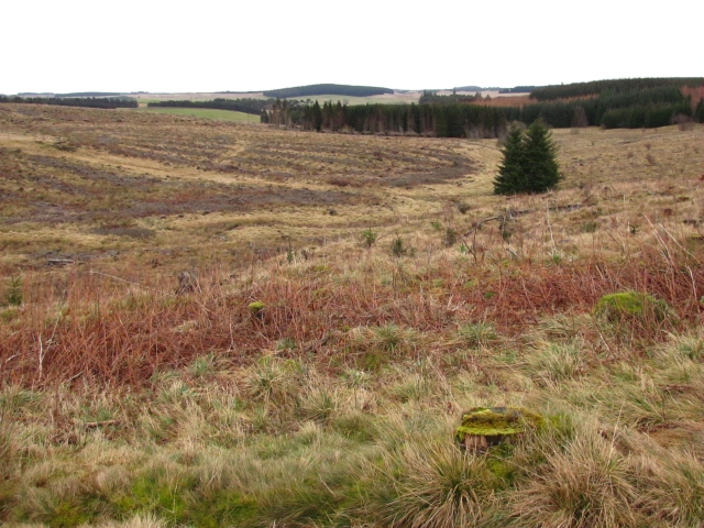
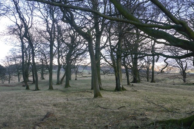
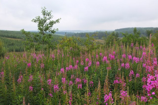
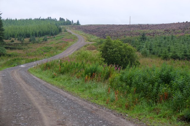
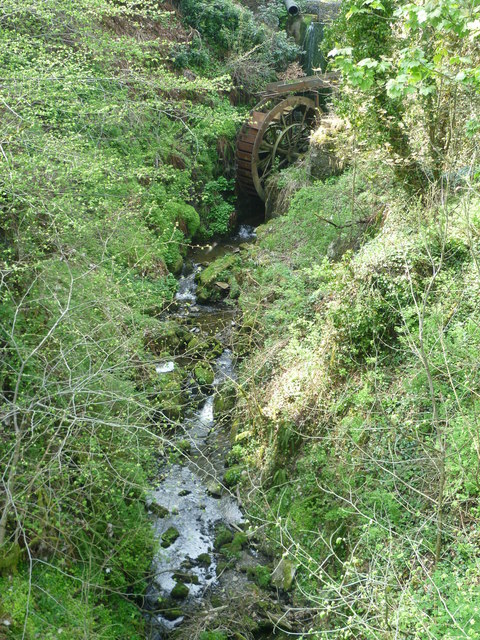
Rig Plantation is a vast woodland area located in Peeblesshire, Scotland. Covering over 300 acres, this plantation is a diverse mix of native and exotic tree species, providing a rich habitat for a variety of wildlife. The area is predominantly made up of coniferous trees such as Scots pine, Sitka spruce, and Douglas fir, as well as some broadleaf species like oak, beech, and birch.

Rig Plantation is popular among hikers, birdwatchers, and nature enthusiasts for its scenic beauty and tranquil atmosphere. The well-maintained trails offer a peaceful setting for leisurely walks and birdwatching, with the chance to spot a wide range of bird species such as woodpeckers, red kites, and owls.

Managed by the Forestry Commission, Rig Plantation is also used for sustainable timber production, with careful planning and harvesting practices in place to ensure the long-term health and vitality of the woodland. The plantation plays a vital role in supporting the local economy and providing valuable ecosystem services such as carbon sequestration and flood prevention. Overall, Rig Plantation is a valuable natural resource that is cherished by both locals and visitors alike.

If you have any feedback on the listing, please let us know in the comments section below.

Rig Plantation Images

Images are sourced within 2km of 55.721516/-3.2398885 or Grid Reference NT2248. Thanks to Geograph Open Source API. All images are credited.

Wind damage in Cloich Forest Trees blown down and some snapped off in the forest near Middle Burn.
Wind damage in Cloich Forest
Trees blown down and some snapped off in the forest near Middle Burn.
Forest road and Dundreich The forest road from Shiplaw over to Noblehouse on the A701. The wind damaged area (<a href="https://www.geograph.org.uk/photo/3850091">NT2150 : Wind damage in Cloich Forest</a>) is to the right. Bowbeat wind farm is on the skyline by Dundreich.
Forest road and Dundreich
The forest road from Shiplaw over to Noblehouse on the A701. The wind damaged area (NT2150 : Wind damage in Cloich Forest) is to the right. Bowbeat wind farm is on the skyline by Dundreich.
MotoX Shiplaw Motocross circuit near Shiplaw, marked as a sheepfold on the 1:25000 OS map.
MotoX Shiplaw
Motocross circuit near Shiplaw, marked as a sheepfold on the 1:25000 OS map.
No, no, no! Flytipping vermin don't read notices - also implies it's OK elsewhere, but a nice try. Meanwhile the lovely grassy picnic areas in the nearby Meldons were getting trashed by tipping and camp fires.  Best of luck!
No, no, no!
Flytipping vermin don't read notices - also implies it's OK elsewhere, but a nice try. Meanwhile the lovely grassy picnic areas in the nearby Meldons were getting trashed by tipping and camp fires. Best of luck!
Shiplaw Burn Burn cutting down through a sandy area, probably deposited by glaciers.
Shiplaw Burn
Burn cutting down through a sandy area, probably deposited by glaciers.
Plantation and rough grazing on White Rig Rushy moorland pasture and larches just showing signs of bud bursting.
Plantation and rough grazing on White Rig
Rushy moorland pasture and larches just showing signs of bud bursting.
View down the Middle Burn Clearfell in Cloich Forest.
View down the Middle Burn
Clearfell in Cloich Forest.
Road, Cloich Forest Logging road crossing the Middle Burn.
Road, Cloich Forest
Logging road crossing the Middle Burn.
Road in Cloich Forest A track just above Middle Burn, with Dundreich in the background.
Road in Cloich Forest
A track just above Middle Burn, with Dundreich in the background.
Young trees and mature plantations, Cloich On the slopes drained by Middle Burn on the NE side of the Cloich Hills.
Young trees and mature plantations, Cloich
On the slopes drained by Middle Burn on the NE side of the Cloich Hills.
Middle Burn, Cloich Clear felled areas in the shallow valley of the burn, with some small trees emerging.
Middle Burn, Cloich
Clear felled areas in the shallow valley of the burn, with some small trees emerging.
Middle Burn The burn now runs through a large clear felled area.
Middle Burn
The burn now runs through a large clear felled area.
Trees, Shiplaw Grazed woodland.
Trees, Shiplaw
Grazed woodland.
Willow herb near Middle Burn A growth of willow herb on the side of the track to Grassfield Forest above the Middle Burn.
Willow herb near Middle Burn
A growth of willow herb on the side of the track to Grassfield Forest above the Middle Burn.
Clear-felled forest near Middle Burn Trees on White Rig have been harvested and replanted - compare with Richard Webb's photo <a href="https://www.geograph.org.uk/photo/1384577">NT2150 : Road, Cloich Forest</a> taken in 2009.
Clear-felled forest near Middle Burn
Trees on White Rig have been harvested and replanted - compare with Richard Webb's photo NT2150 : Road, Cloich Forest taken in 2009.
Barony Castle Hotel, Eddleston
Waterwheel on the Dean Burn
Show me another place!

Rig Plantation is located at Grid Ref: NT2248 (Lat: 55.721516, Lng: -3.2398885)

Unitary Authority: The Scottish Borders

Police Authority: The Lothians and Scottish Borders

What 3 Words

///leads.regular.shrub. Near West Linton, Scottish Borders

Nearby Locations

Rig Plantation Cloich Rig

Related Wikis

Black Barony

Barony Castle, also and formerly known as Black Barony, and Darnhall, is a historic house at Eddleston in the Scottish Borders area of Scotland. The house...

Great Polish Map of Scotland

The Great Polish Map of Scotland is a large (50 m x 40 m) three-dimensional, outdoor concrete scale model of Scotland, located in the grounds of the Barony...

Darnhall Mains

Darnhall Mains is a farm and settlement off the A703, near Eddleston and the Eddleston Water in the Scottish Borders area of Scotland, in the former Peeblesshire...

Eddleston railway station

Eddleston railway station served the village of Eddleston, Scottish Borders, Scotland from 1855 to 1962 on the Peebles Railway. == History == The station...

Have you been to Rig Plantation?

Leave your review of Rig Plantation below (or comments, questions and feedback).