Cloich Rig

Hill, Mountain in Peeblesshire

Scotland

Cloich Rig

Motocross course, Shiplaw Rough moorland by the Shiplaw Burn providing a venue for motocross motorbike events. Compare the same scene in 2006: <a href="https://www.geograph.org.uk/photo/165179">NT2350 : MotoX Shiplaw</a>.
Motocross course, Shiplaw Credit: Jim Barton

Cloich Rig is a prominent hill located in Peeblesshire, Scotland. Standing at an elevation of approximately 531 meters (1,742 feet), it offers breathtaking panoramic views of the surrounding landscape. The hill is situated near the village of Eddleston, about 6 kilometers (3.7 miles) northeast of Peebles.

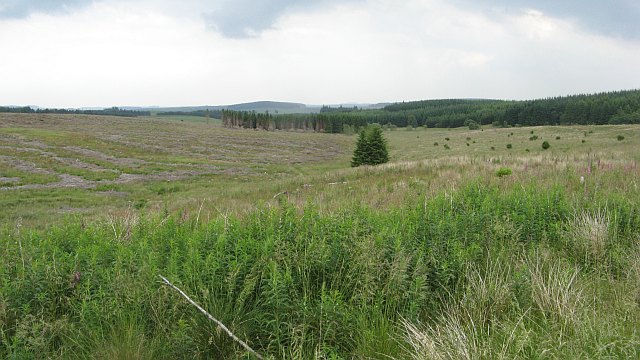
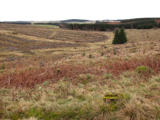
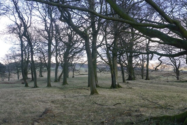
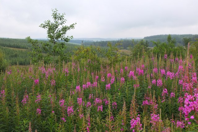
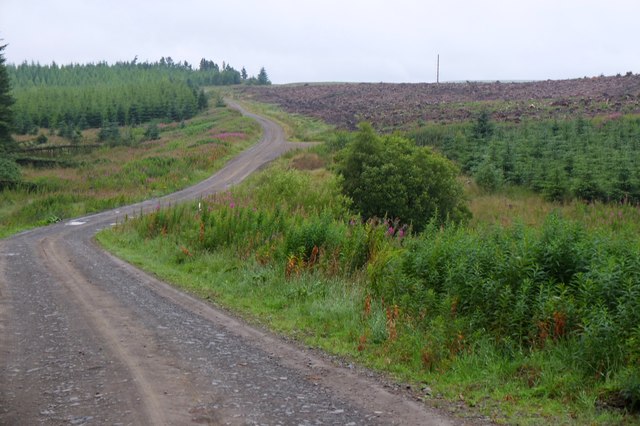
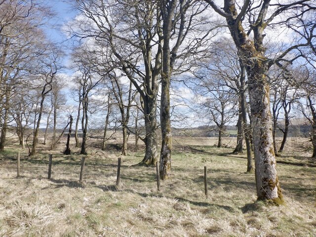
Cloich Rig is part of the wider Moorfoot Hills range, which stretches across the southern part of Peeblesshire. The hill is known for its distinctive conical shape, with a relatively steep ascent and a relatively flat summit. Its slopes are covered in heather and grasses, creating a picturesque and natural setting.

The hill is a popular destination for outdoor enthusiasts, including hikers, walkers, and nature lovers. Several trails lead to the summit, allowing visitors to enjoy the stunning views of the surrounding countryside, including the Tweed Valley and the Pentland Hills. On a clear day, it is even possible to spot Edinburgh Castle in the distance.

Cloich Rig is also home to a variety of flora and fauna. The hillside is adorned with purple heather during the summer months, while sheep and grazing cows can often be seen along the lower slopes. Birdwatchers may catch a glimpse of buzzards, kestrels, and other raptors soaring overhead.

Overall, Cloich Rig provides a wonderful opportunity for outdoor exploration and offers a peaceful retreat for those seeking to immerse themselves in the tranquil beauty of the Scottish countryside.

If you have any feedback on the listing, please let us know in the comments section below.
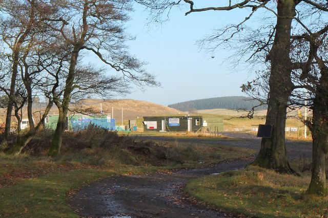
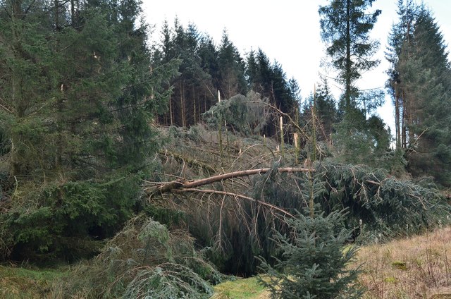
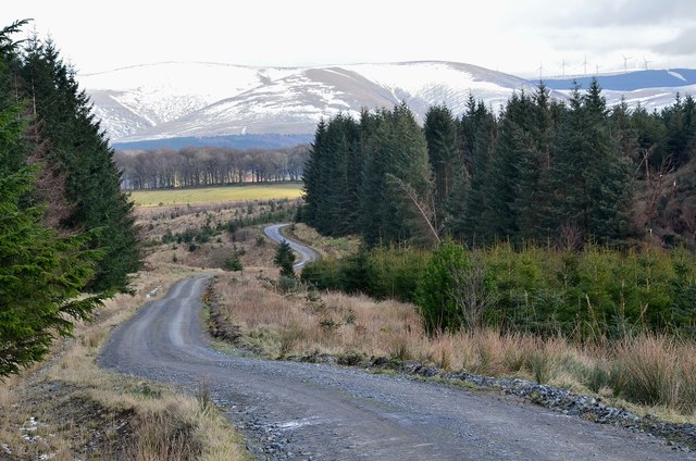
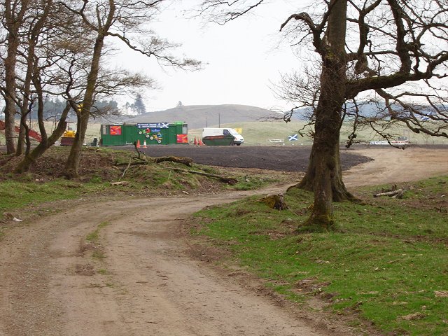
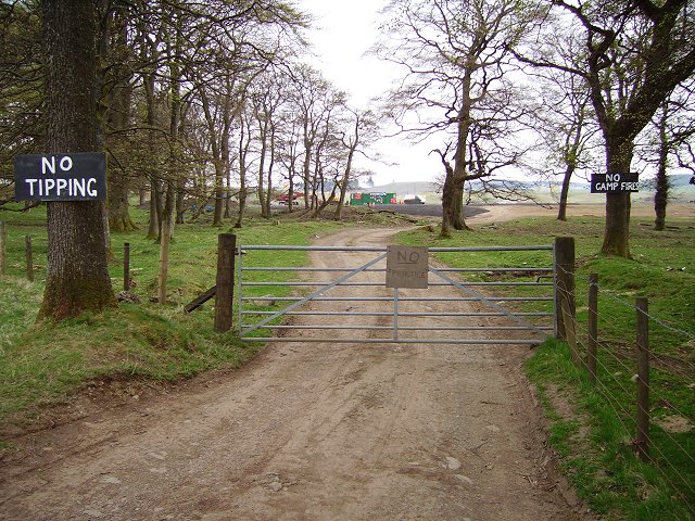
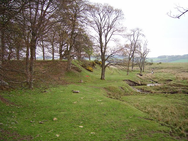
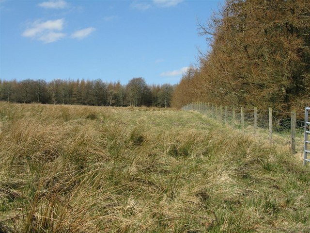
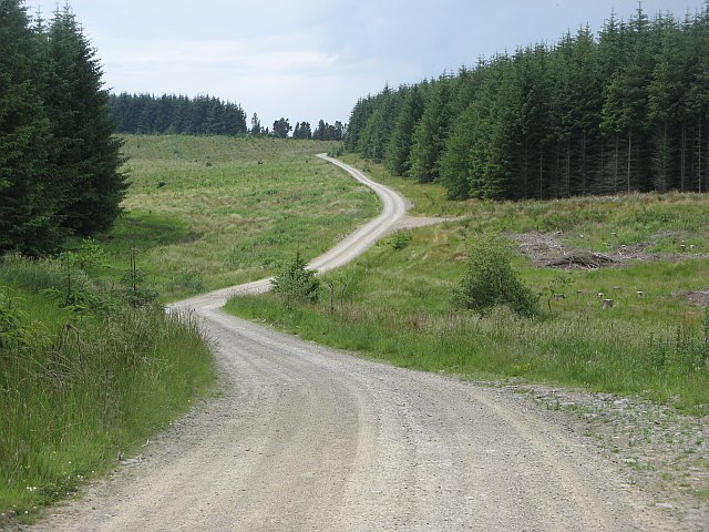
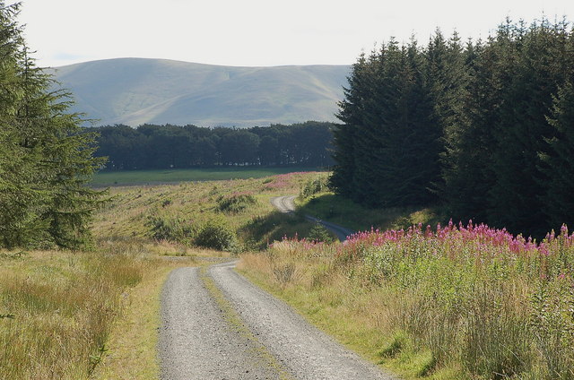
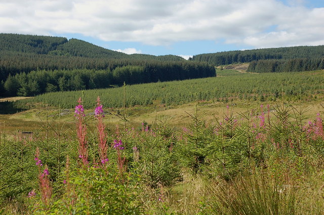
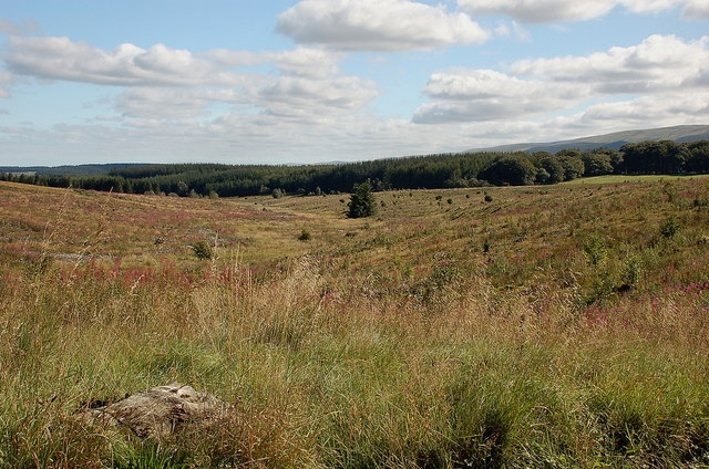
Cloich Rig Images

Images are sourced within 2km of 55.723019/-3.2414805 or Grid Reference NT2248. Thanks to Geograph Open Source API. All images are credited.

Motocross course, Shiplaw Rough moorland by the Shiplaw Burn providing a venue for motocross motorbike events. Compare the same scene in 2006: <a href="https://www.geograph.org.uk/photo/165179">NT2350 : MotoX Shiplaw</a>.
Motocross course, Shiplaw
Rough moorland by the Shiplaw Burn providing a venue for motocross motorbike events. Compare the same scene in 2006: NT2350 : MotoX Shiplaw.
Wind damage in Cloich Forest Trees blown down and some snapped off in the forest near Middle Burn.
Wind damage in Cloich Forest
Trees blown down and some snapped off in the forest near Middle Burn.
Forest road and Dundreich The forest road from Shiplaw over to Noblehouse on the A701. The wind damaged area (<a href="https://www.geograph.org.uk/photo/3850091">NT2150 : Wind damage in Cloich Forest</a>) is to the right. Bowbeat wind farm is on the skyline by Dundreich.
Forest road and Dundreich
The forest road from Shiplaw over to Noblehouse on the A701. The wind damaged area (NT2150 : Wind damage in Cloich Forest) is to the right. Bowbeat wind farm is on the skyline by Dundreich.
MotoX Shiplaw Motocross circuit near Shiplaw, marked as a sheepfold on the 1:25000 OS map.
MotoX Shiplaw
Motocross circuit near Shiplaw, marked as a sheepfold on the 1:25000 OS map.
No, no, no! Flytipping vermin don't read notices - also implies it's OK elsewhere, but a nice try. Meanwhile the lovely grassy picnic areas in the nearby Meldons were getting trashed by tipping and camp fires.  Best of luck!
No, no, no!
Flytipping vermin don't read notices - also implies it's OK elsewhere, but a nice try. Meanwhile the lovely grassy picnic areas in the nearby Meldons were getting trashed by tipping and camp fires. Best of luck!
Shiplaw Burn Burn cutting down through a sandy area, probably deposited by glaciers.
Shiplaw Burn
Burn cutting down through a sandy area, probably deposited by glaciers.
Plantation and rough grazing on White Rig Rushy moorland pasture and larches just showing signs of bud bursting.
Plantation and rough grazing on White Rig
Rushy moorland pasture and larches just showing signs of bud bursting.
View down the Middle Burn Clearfell in Cloich Forest.
View down the Middle Burn
Clearfell in Cloich Forest.
Road, Cloich Forest Logging road crossing the Middle Burn.
Road, Cloich Forest
Logging road crossing the Middle Burn.
Road in Cloich Forest A track just above Middle Burn, with Dundreich in the background.
Road in Cloich Forest
A track just above Middle Burn, with Dundreich in the background.
Young trees and mature plantations, Cloich On the slopes drained by Middle Burn on the NE side of the Cloich Hills.
Young trees and mature plantations, Cloich
On the slopes drained by Middle Burn on the NE side of the Cloich Hills.
Middle Burn, Cloich Clear felled areas in the shallow valley of the burn, with some small trees emerging.
Middle Burn, Cloich
Clear felled areas in the shallow valley of the burn, with some small trees emerging.
Cloich Forest A second generation of trees is now quite well established in this block.
Cloich Forest
A second generation of trees is now quite well established in this block.
Middle Burn The burn now runs through a large clear felled area.
Middle Burn
The burn now runs through a large clear felled area.
Trees, Shiplaw Grazed woodland.
Trees, Shiplaw
Grazed woodland.
Willow herb near Middle Burn A growth of willow herb on the side of the track to Grassfield Forest above the Middle Burn.
Willow herb near Middle Burn
A growth of willow herb on the side of the track to Grassfield Forest above the Middle Burn.
Clear-felled forest near Middle Burn Trees on White Rig have been harvested and replanted - compare with Richard Webb's photo <a href="https://www.geograph.org.uk/photo/1384577">NT2150 : Road, Cloich Forest</a> taken in 2009.
Clear-felled forest near Middle Burn
Trees on White Rig have been harvested and replanted - compare with Richard Webb's photo NT2150 : Road, Cloich Forest taken in 2009.
Woodland, Shiplaw Motocross course beyond. Not in use today, probably banned at the time (Spring 2021), so quiet.
Woodland, Shiplaw
Motocross course beyond. Not in use today, probably banned at the time (Spring 2021), so quiet.
Show me another place!

Cloich Rig is located at Grid Ref: NT2248 (Lat: 55.723019, Lng: -3.2414805)

Unitary Authority: The Scottish Borders

Police Authority: The Lothians and Scottish Borders

What 3 Words

///increases.stew.applied. Near West Linton, Scottish Borders

Nearby Locations

Rig Plantation Cloich Rig

Related Wikis

Black Barony

Barony Castle, also and formerly known as Black Barony, and Darnhall, is a historic house at Eddleston in the Scottish Borders area of Scotland. The house...

Darnhall Mains

Darnhall Mains is a farm and settlement off the A703, near Eddleston and the Eddleston Water in the Scottish Borders area of Scotland, in the former Peeblesshire...

Great Polish Map of Scotland

The Great Polish Map of Scotland is a large (50 m x 40 m) three-dimensional, outdoor concrete scale model of Scotland, located in the grounds of the Barony...

Eddleston railway station

Eddleston railway station served the village of Eddleston, Scottish Borders, Scotland from 1855 to 1962 on the Peebles Railway. == History == The station...

Have you been to Cloich Rig?

Leave your review of Cloich Rig below (or comments, questions and feedback).