Parknook Plantation

Wood, Forest in Fife

Scotland

Parknook Plantation

Kinglassie Road, Cardenden
Kinglassie Road, Cardenden Credit: Douglas Nelson

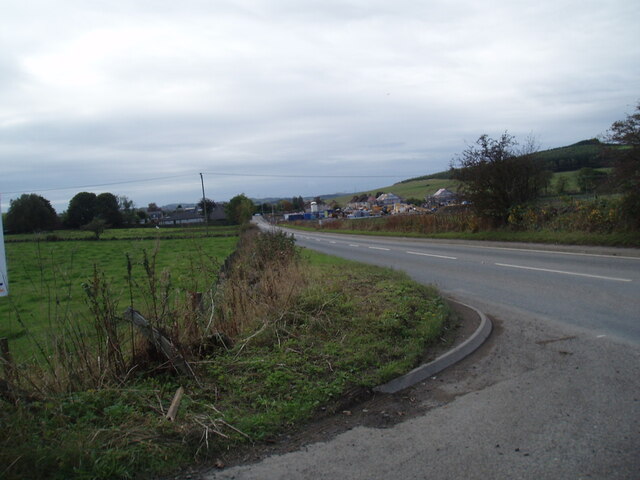
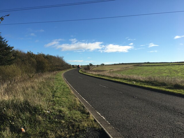
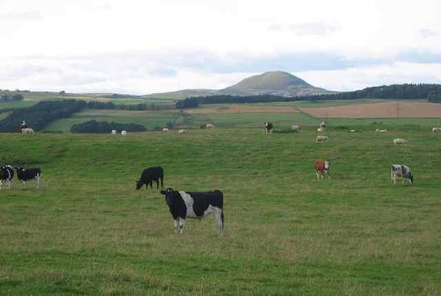
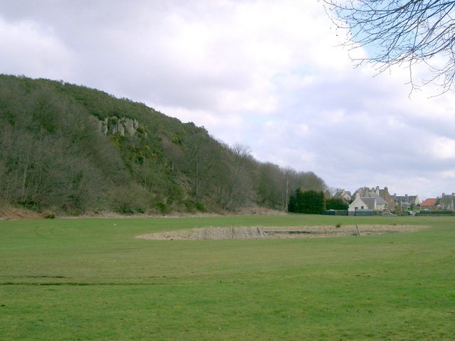
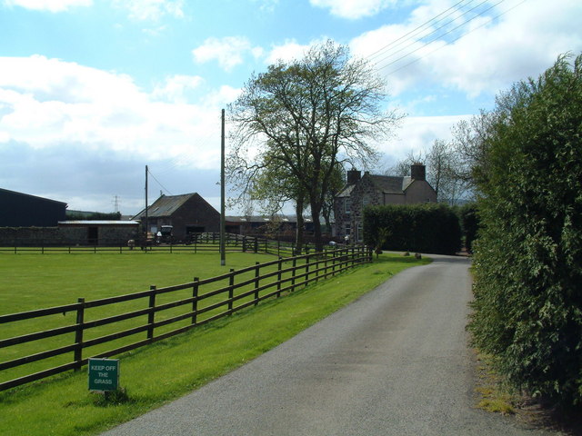
Parknook Plantation is a picturesque woodland located in Fife, Scotland. Spanning over several acres, this enchanting forest is nestled amidst the rolling hills, providing a tranquil and serene atmosphere for visitors to enjoy. With its lush greenery and diverse range of trees, Parknook Plantation is a haven for nature lovers and outdoor enthusiasts.

The plantation boasts a rich variety of tree species, including oak, beech, and birch, which contribute to its vibrant and ever-changing landscape throughout the seasons. The dense canopy of leaves provides a sheltered habitat for an array of wildlife, such as squirrels, rabbits, and an abundance of bird species.

Walking through Parknook Plantation, visitors can explore numerous winding trails that crisscross the woodland, offering a chance to immerse themselves in the beauty of nature. The paths are well-maintained and signposted, making it easy for visitors to navigate and discover hidden gems within the forest. Along the way, benches and picnic spots are strategically placed, inviting visitors to pause and take in the breathtaking surroundings.

Parknook Plantation is not only a delight for nature enthusiasts but also a popular destination for families. Children can participate in various activities, including nature trails and scavenger hunts, while learning about the importance of preserving the environment.

Overall, Parknook Plantation presents a captivating blend of natural beauty and recreational opportunities. Its idyllic setting and diverse ecosystem make it an ideal destination for those seeking solace in nature or looking for a memorable outdoor experience in Fife.

If you have any feedback on the listing, please let us know in the comments section below.

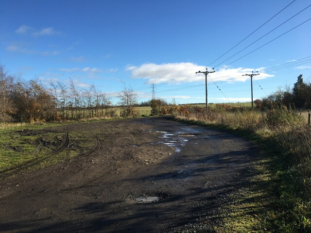
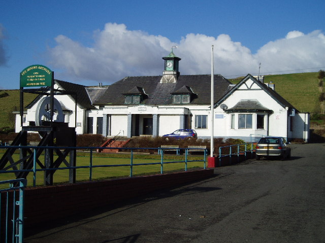
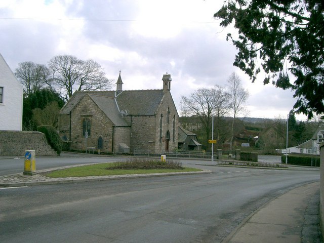
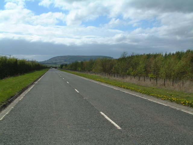
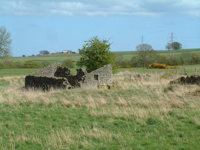
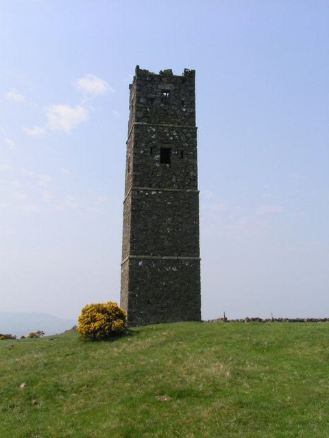
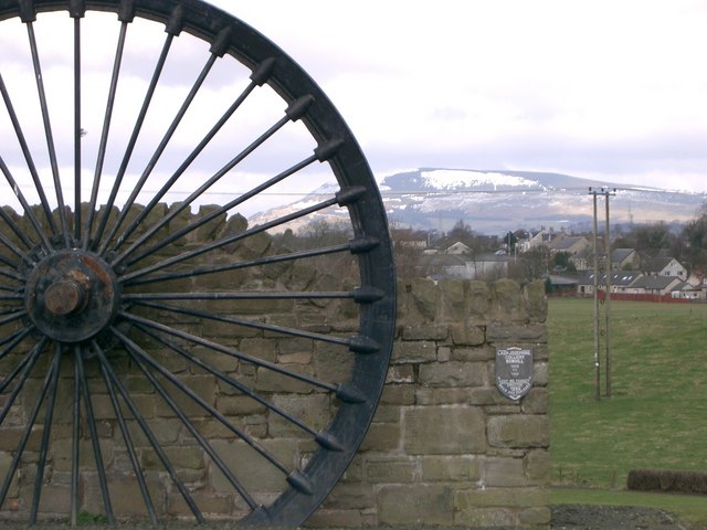
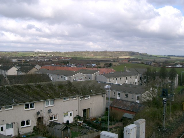
Parknook Plantation Images

Images are sourced within 2km of 56.166012/-3.2542245 or Grid Reference NT2297. Thanks to Geograph Open Source API. All images are credited.

Kinglassie Road, Cardenden
Farm road near Woodend
B9097 towards Glenrothes
Ruined buildings at Parknook
B921 approaching Kinglassie
Pasture, Auchmuir. Cattle graze beneath West Lomond, Fife's highest hill.
Pasture, Auchmuir.
Cattle graze beneath West Lomond, Fife's highest hill.
Kinglassie Miners Welfare Institute Kinglassie grew up as a weaving and mining town and in this building built in 1931 the Fife Mining Archives can be viewed.
Kinglassie Miners Welfare Institute
Kinglassie grew up as a weaving and mining town and in this building built in 1931 the Fife Mining Archives can be viewed.
Auchterderran Parish Church St.Fothads Church of Scotland.
Auchterderran Parish Church
St.Fothads Church of Scotland.
Craighead Plantation Marked on the 1940'S map as Craighead Plantation this is how it looks today.
Craighead Plantation
Marked on the 1940'S map as Craighead Plantation this is how it looks today.
Pond below the surface Parts of the Westfield open-cast coal site have been allowed to flood, forming 'lochs' hundreds of feet below the natural land surface. This huge hole was the deepest excavation of its kind in the UK with a depth of 215m (705 feet).
Pond below the surface
Parts of the Westfield open-cast coal site have been allowed to flood, forming 'lochs' hundreds of feet below the natural land surface. This huge hole was the deepest excavation of its kind in the UK with a depth of 215m (705 feet).
Open cast mining The alternating strata of coal and rock can clearly be seen in these workings near the eastern end of the 705 feet deep Westfield opencast mine
Open cast mining
The alternating strata of coal and rock can clearly be seen in these workings near the eastern end of the 705 feet deep Westfield opencast mine
Dozer and dumper A bulldozer and dump-truck cooperating to extract the coal, deep down inside the lip of the Westfield open-cast coal mine.
Dozer and dumper
A bulldozer and dump-truck cooperating to extract the coal, deep down inside the lip of the Westfield open-cast coal mine.
Screen of trees The plantation to the north (right hand) side of the B9097 here was grown to screen from view the open-cast coal workings on the other side of it.
Screen of trees
The plantation to the north (right hand) side of the B9097 here was grown to screen from view the open-cast coal workings on the other side of it.
Strathruddie Nicely manicured drive into the farm buildings
Strathruddie
Nicely manicured drive into the farm buildings
All that's left of Parknook An old ruin of a farm that has all but disappeared. Modern maps don't even carry its name.
All that's left of Parknook
An old ruin of a farm that has all but disappeared. Modern maps don't even carry its name.
Blythes Tower
Blythes Tower
Redhouse Well, that's what the OS map calls this farm. Perhaps the paint has faded.
Redhouse
Well, that's what the OS map calls this farm. Perhaps the paint has faded.
Balreggie Farm A grass track leads left into a field, off the main road to the farm.
Balreggie Farm
A grass track leads left into a field, off the main road to the farm.
Show me another place!

Parknook Plantation is located at Grid Ref: NT2297 (Lat: 56.166012, Lng: -3.2542245)

Unitary Authority: Fife

Police Authority: Fife

What 3 Words

///swarm.tallest.sprayed. Near Kinglassie, Fife

Nearby Locations

Parknook Plantation

Related Wikis

Kinglassie

Kinglassie (Scottish Gaelic: Cill Ghlaise) is a small village and parish in central Fife, Scotland. It is located two miles southwest of Glenrothes. It...

Cardenden railway station

Cardenden railway station is a railway station in Cardenden, Fife, Scotland. The station is managed by ScotRail and is on the Fife Circle Line, 27 miles...
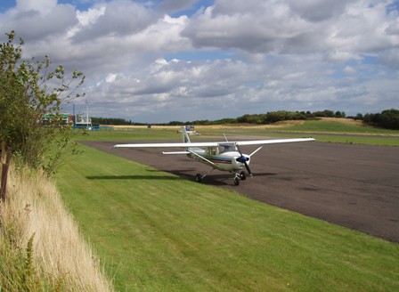
Fife Airport

Fife Airport (ICAO: EGPJ) (Scottish Gaelic: Port-adhair Fìobha) is an unlicensed aerodrome located 2 nautical miles (3.7 km; 2.3 mi) west of Glenrothes...

Auchterderran

Auchterderran () is a village in Fife, Scotland. It is sometimes thought as part of the larger village, Cardenden, although Cardenden is part of the parish...

Fife power station

Fife power station was a 120 megawatt gas-fired combined cycle gas turbine generating station at Cardenden in Fife, Scotland. It was a 1+1 configuration...

Dundonald Bluebell F.C.

Dundonald Bluebell Football Club are a Scottish football club based in Cardenden, Fife. The team plays in the East of Scotland League Premier Division...

Cardenden

Cardenden ( ) is a Scottish town located on the south bank of the River Ore in the parish of Auchterderran, Fife. It is approximately 4 miles (6.4 km)...

Leslie railway station

Leslie railway station served the village of Leslie, Fife, Scotland, from 1861 to 1932 on the Leslie Railway. == History == The station was opened on 1...

Nearby Amenities

Located within 500m of 56.166012,-3.2542245
Power: tower
Lat/Long: 56.1649425/-3.2591738
Power: tower
Lat/Long: 56.1651876/-3.2521565
Power: tower
Lat/Long: 56.1653704/-3.2469206
Power: tower
Lat/Long: 56.1650636/-3.2557072
Power: pole
Lat/Long: 56.166856/-3.262038
Power: pole
Lat/Long: 56.1672212/-3.2606851
Power: pole
Lat/Long: 56.1674132/-3.2593026
Power: pole
Lat/Long: 56.1675907/-3.2581387
Power: pole
Lat/Long: 56.1678073/-3.256619
Power: pole
Lat/Long: 56.1679807/-3.2554107
Power: pole
Lat/Long: 56.1682799/-3.2534202
Power: pole
Lat/Long: 56.1684388/-3.2523268
Power: pole
Lat/Long: 56.1692044/-3.2517041
Power: pole
Lat/Long: 56.1699092/-3.2511239
Power: pole
Lat/Long: 56.1665426/-3.2615263
Power: pole
Lat/Long: 56.166649/-3.2609083
Power: pole
Lat/Long: 56.1668573/-3.2594529
Power: pole
Lat/Long: 56.1670568/-3.2581675
Power: pole
Lat/Long: 56.1672564/-3.2566052
Power: pole
Lat/Long: 56.1675045/-3.2549713
Power: pole
Lat/Long: 56.1676956/-3.2537471
Power: pole
Lat/Long: 56.1682641/-3.251899
Power: pole
Lat/Long: 56.1685826/-3.2511944
Power: pole
Lat/Long: 56.1688438/-3.249456
Power: pole
Lat/Long: 56.1678254/-3.2528321
Power: pole
Lat/Long: 56.1631396/-3.2580576
Power: pole
Lat/Long: 56.1635083/-3.2570926
Power: pole
Lat/Long: 56.163924/-3.2559895
Power: pole
Lat/Long: 56.1637143/-3.2552436
Power: pole
Lat/Long: 56.1640915/-3.2565617
Power: pole
Lat/Long: 56.1699376/-3.2535007
Power: pole
Lat/Long: 56.1692642/-3.2534616
The data included in this document is from www.openstreetmap.org. The data is made available under ODbL.

Have you been to Parknook Plantation?

Leave your review of Parknook Plantation below (or comments, questions and feedback).