Packmanley Wood

Wood, Forest in Angus

Scotland

Packmanley Wood

Union Street, Coupar Angus
Union Street, Coupar Angus Credit: Richard Sutcliffe

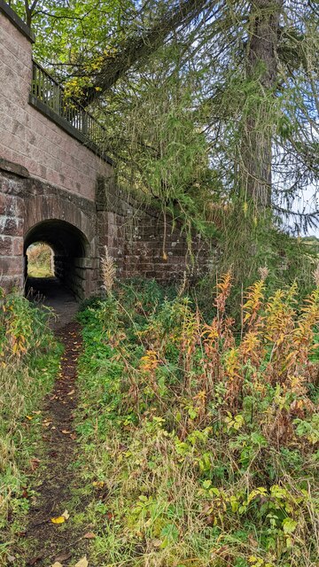
Packmanley Wood, Angus is a pristine forest located in the Angus region of Scotland. Covering an area of approximately 500 acres, it is known for its rich biodiversity and stunning natural beauty. The wood is situated on the southern slopes of the Angus Glens, surrounded by rolling hills and picturesque landscapes.

The woodland is predominantly composed of native tree species such as oak, birch, and Scots pine, creating a diverse and healthy ecosystem. The dense canopy provides habitat for a wide range of wildlife including red squirrels, roe deer, and numerous bird species. The wood is also home to several rare and endangered plant species, making it a site of conservation importance.

Packmanley Wood offers a variety of recreational activities for nature enthusiasts and visitors. There are well-maintained walking trails that wind through the forest, allowing visitors to explore its natural wonders at their own pace. The woodland is a popular destination for birdwatching, with several bird hides strategically placed to observe the resident and migratory bird populations.

In addition to its natural attractions, Packmanley Wood also has historical significance. There are remnants of ancient settlements and archaeological sites within the wood, providing insight into the area's human history.

Overall, Packmanley Wood, Angus is a remarkable forest that encapsulates the beauty and diversity of Scotland's natural landscapes. It offers a serene escape for those seeking to connect with nature and explore the region's rich history.

If you have any feedback on the listing, please let us know in the comments section below.

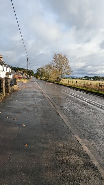
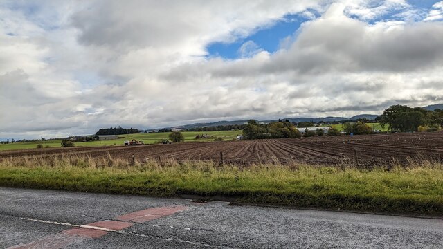
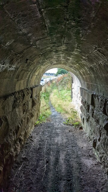
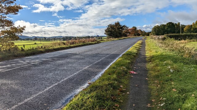
Packmanley Wood Images

Images are sourced within 2km of 56.528858/-3.2670702 or Grid Reference NO2238. Thanks to Geograph Open Source API. All images are credited.

Union Street, Coupar Angus
Former Plumber Shop with accommodation above. The shop bears a sign 'Plumber', but it appears to be closed down.
Former Plumber
Shop with accommodation above. The shop bears a sign 'Plumber', but it appears to be closed down.
Shops, The Cross, Coupar Angus Old & New; Tower Bakery & Cafe; and The Beauty Spot. Poppies are on display for Remembrance Day and Christmas lights in the shape of Christmas trees are up (although I suspect they weren't taken down from last year).
Shops, The Cross, Coupar Angus
Old & New; Tower Bakery & Cafe; and The Beauty Spot. Poppies are on display for Remembrance Day and Christmas lights in the shape of Christmas trees are up (although I suspect they weren't taken down from last year).
Scotmid Coop Convenience store on the corner of Union Street and Commercial Street, Coupar Angus. The building is mainly 18th century in date, although the corner dates from 1905. The building is Category C listed <span class="nowrap"><a title="https://portal.historicenvironment.scot/designation/LB23136" rel="nofollow ugc noopener" href="https://portal.historicenvironment.scot/designation/LB23136">Link</a><img style="margin-left:2px;" alt="External link" title="External link - shift click to open in new window" src="https://s1.geograph.org.uk/img/external.png" width="10" height="10"/></span>.
Scotmid Coop
Convenience store on the corner of Union Street and Commercial Street, Coupar Angus. The building is mainly 18th century in date, although the corner dates from 1905. The building is Category C listed LinkExternal link.
Former hall, Union Street, Coupar Angus Designed by architect James Smart, 1887 as the Free Church. It later became a hall used by the Church of Scotland. It now looks to be in private ownership.
Former hall, Union Street, Coupar Angus
Designed by architect James Smart, 1887 as the Free Church. It later became a hall used by the Church of Scotland. It now looks to be in private ownership.
Lamb & Gardiner Ford dealer and Shell filling station on Union Street, Coupar Angus.
Lamb & Gardiner
Ford dealer and Shell filling station on Union Street, Coupar Angus.
Coupar Angus Town Hall Designed by David Smart and built 1886-7 on Union Street, Coupar Angus to mark Queen Victoria's jubilee. The building's future has been in doubt in recent years as Perth & Kinross Council struggle to find funding for essential maintenance work. It is Category C listed <span class="nowrap"><a title="https://portal.historicenvironment.scot/designation/LB51347" rel="nofollow ugc noopener" href="https://portal.historicenvironment.scot/designation/LB51347">Link</a><img style="margin-left:2px;" alt="External link" title="External link - shift click to open in new window" src="https://s1.geograph.org.uk/img/external.png" width="10" height="10"/></span>.
Coupar Angus Town Hall
Designed by David Smart and built 1886-7 on Union Street, Coupar Angus to mark Queen Victoria's jubilee. The building's future has been in doubt in recent years as Perth & Kinross Council struggle to find funding for essential maintenance work. It is Category C listed LinkExternal link.
The A94 near Coupar Angus
Bridge for Public Footpath on A94
A94 passing through Woodside
View of field, Main Road
View of farmland from Main Road
View from inside footpath tunnel
View of tunnel footpath
View of the A94 towards Burrelton and Woodside
Davidsons Chemists At the corner of Union Street and High Street. A Category C listed <span class="nowrap"><a title="https://portal.historicenvironment.scot/designation/LB23135" rel="nofollow ugc noopener" href="https://portal.historicenvironment.scot/designation/LB23135">Link</a><img style="margin-left:2px;" alt="External link" title="External link - shift click to open in new window" src="https://s1.geograph.org.uk/img/external.png" width="10" height="10"/></span> property, dating from about 1845.
Davidsons Chemists
At the corner of Union Street and High Street. A Category C listed LinkExternal link property, dating from about 1845.
The Cross, Coupar Angus The building on the right is the former Royal Hotel and Assembly Rooms, dating from about 1840 and Category B listed <span class="nowrap"><a title="https://portal.historicenvironment.scot/designation/LB23138" rel="nofollow ugc noopener" href="https://portal.historicenvironment.scot/designation/LB23138">Link</a><img style="margin-left:2px;" alt="External link" title="External link - shift click to open in new window" src="https://s1.geograph.org.uk/img/external.png" width="10" height="10"/></span>. The cross in the centre is a modern version.
The Cross, Coupar Angus
The building on the right is the former Royal Hotel and Assembly Rooms, dating from about 1840 and Category B listed LinkExternal link. The cross in the centre is a modern version.
The Cross, Coupar Angus A modern version of the traditional town cross in the High Street.
The Cross, Coupar Angus
A modern version of the traditional town cross in the High Street.
Show me another place!

Packmanley Wood is located at Grid Ref: NO2238 (Lat: 56.528858, Lng: -3.2670702)

Unitary Authority: Perth and Kinross

Police Authority: Tayside

What 3 Words

///converter.ponies.dreamer. Near Coupar Angus, Perth & Kinross

Related Wikis

Campmuir

Campmuir () is a small village in the Perth and Kinross area of Scotland.Campmuir is located less than 1 mile (2 kilometres) south of the main A94 road...

Kettins

Kettins is a village in Perth and Kinross, Scotland about 14 miles (23 kilometres) northeast of Perth and 11 miles (18 kilometres) northwest of Dundee...

Coupar Angus railway station

Coupar Angus railway station served the town of Coupar Angus, Perth and Kinross, Scotland from 1837 to 1967 on the Scottish Midland Junction Railway....

Coupar Angus

Coupar Angus ( ; Gaelic: Cùbar Aonghais) is a town in Perth and Kinross, Scotland, 4 miles (6 kilometres) south of Blairgowrie. The name Coupar Angus serves...

Nearby Amenities

Located within 500m of 56.528858,-3.2670702
Power: pole
Lat/Long: 56.5326945/-3.2693714
Power: pole
Lat/Long: 56.5248588/-3.2703965
Power: pole
Lat/Long: 56.525424/-3.270914
Power: pole
Lat/Long: 56.5260826/-3.2631269
Power: pole
Lat/Long: 56.5264692/-3.262766
Power: pole
Lat/Long: 56.5268639/-3.2624505
Power: pole
Lat/Long: 56.5272176/-3.2621639
Power: pole
Lat/Long: 56.5273256/-3.2613309
Power: pole
Lat/Long: 56.5281308/-3.2614628
Power: pole
Lat/Long: 56.5289485/-3.2616154
Power: pole
Lat/Long: 56.5298475/-3.2617742
Power: pole
Lat/Long: 56.5303922/-3.2617597
Power: pole
Lat/Long: 56.5309983/-3.2617247
Power: pole
Lat/Long: 56.5311063/-3.2628712
Power: pole
Lat/Long: 56.5312155/-3.2640341
Power: pole
Lat/Long: 56.5313178/-3.2651868
Power: pole
Lat/Long: 56.5314202/-3.2662879
Power: pole
Lat/Long: 56.5307993/-3.2607803
Power: pole
Lat/Long: 56.5271192/-3.2701562
Power: pole
Lat/Long: 56.5267991/-3.2708078
Power: pole
Lat/Long: 56.5263743/-3.2716223
Power: pole
Lat/Long: 56.5260501/-3.272276
Power: pole
Lat/Long: 56.5269981/-3.2743566
Power: pole
Lat/Long: 56.5263925/-3.2731358
Power: pole
Lat/Long: 56.5260132/-3.2726038
The data included in this document is from www.openstreetmap.org. The data is made available under ODbL.

Have you been to Packmanley Wood?

Leave your review of Packmanley Wood below (or comments, questions and feedback).