Mòine Chruinn
Wood, Forest in Aberdeenshire
Scotland
Mòine Chruinn

Mòine Chruinn, located in Aberdeenshire, Scotland, is a beautiful wood and forest area that offers a serene and picturesque environment. Covering an expansive land area, the region is known for its lush greenery, abundant wildlife, and diverse flora.
The woodlands of Mòine Chruinn are predominantly made up of native tree species, including oak, birch, and pine. These trees provide a dense and vibrant canopy, which creates a favorable habitat for various bird species, such as woodpeckers, owls, and songbirds. The forest floor is adorned with a carpet of mosses, ferns, and wildflowers, adding to the area's natural charm.
The wood is crisscrossed by several well-maintained trails, offering visitors the opportunity to explore the area on foot. These paths wind through the woods, granting hikers access to stunning viewpoints, tranquil streams, and hidden waterfalls. Nature enthusiasts can also indulge in birdwatching, as the wood is home to numerous bird species, some of which are rare and protected.
Mòine Chruinn is not only a haven for wildlife but also serves as an important carbon sink, contributing to the local ecosystem's overall health. The forest plays a vital role in mitigating climate change by absorbing and storing carbon dioxide from the atmosphere.
With its natural beauty, diverse wildlife, and ecological significance, Mòine Chruinn is a must-visit destination for those seeking a peaceful retreat in the heart of Aberdeenshire's countryside.
If you have any feedback on the listing, please let us know in the comments section below.
Mòine Chruinn Images
Images are sourced within 2km of 57.009067/-3.283752 or Grid Reference NO2291. Thanks to Geograph Open Source API. All images are credited.


Mòine Chruinn is located at Grid Ref: NO2291 (Lat: 57.009067, Lng: -3.283752)
Unitary Authority: Aberdeenshire
Police Authority: North East
What 3 Words
///fastening.menswear.migrants. Near Inverey, Aberdeenshire
Nearby Locations
Related Wikis

Balmoral cairns
There are sixteen stone cairns on the Balmoral estate in Deeside, Scotland, including a single cairn on the adjoining Birkhall estate. The cairns commemorate...

Invercauld Castle
Invercauld Castle () is a country house situated in Royal Deeside near Braemar in Scotland. It is protected as a category A listed building, and the grounds...
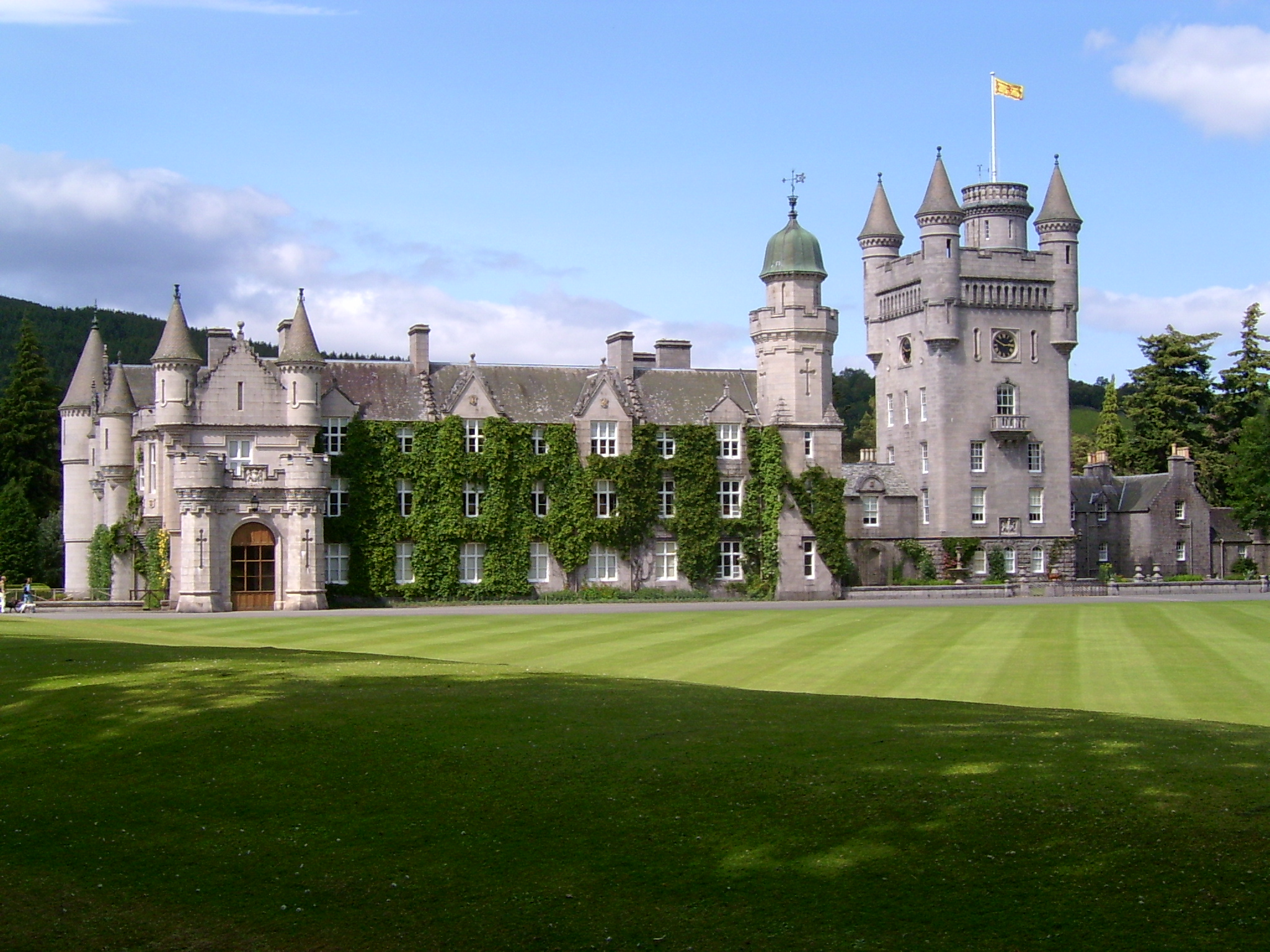
Balmoral Castle
Balmoral Castle () is a large estate house in Aberdeenshire, Scotland, and a residence of the British royal family. It is near the village of Crathie,...
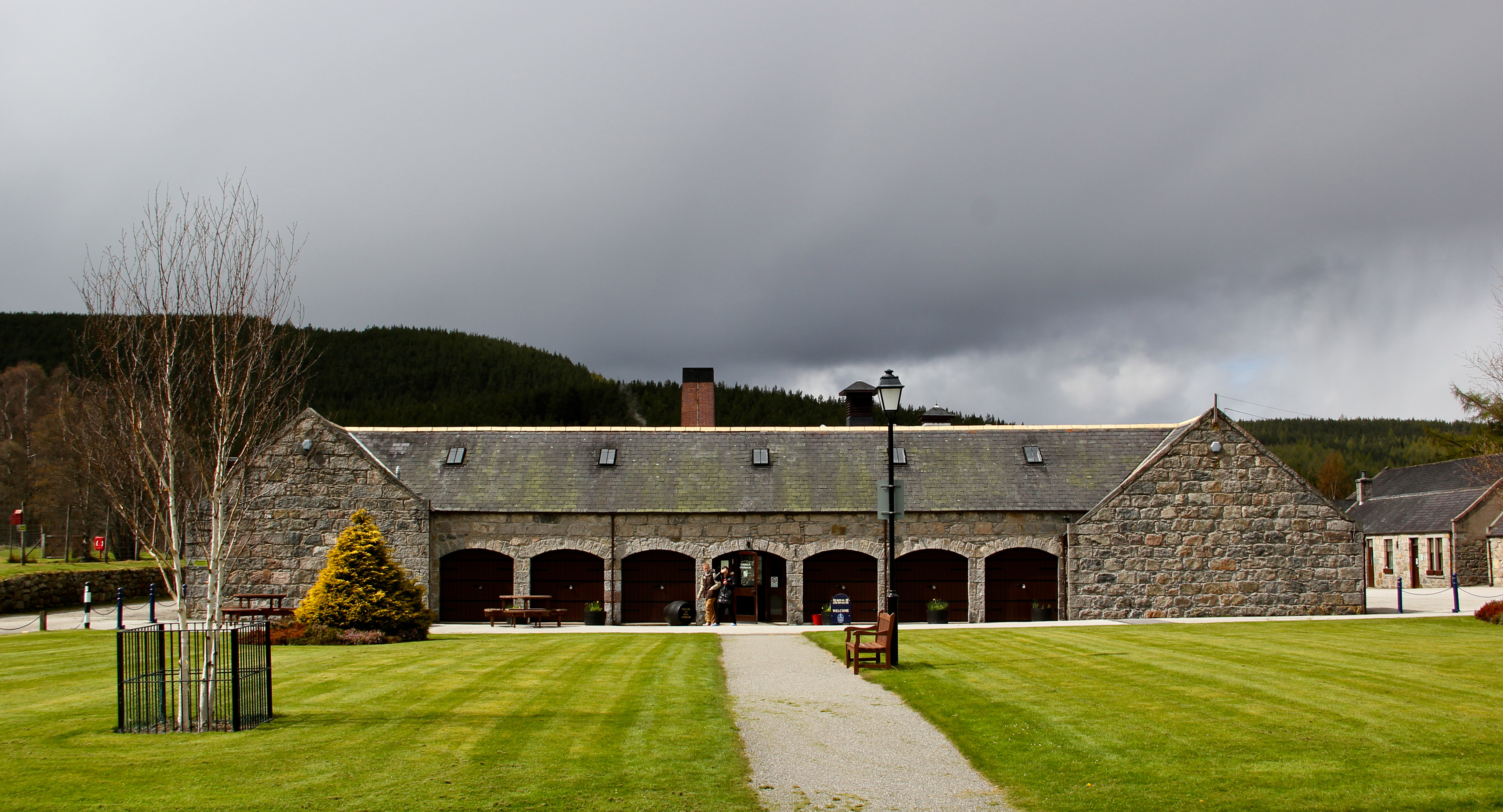
Royal Lochnagar distillery
Royal Lochnagar distillery is a single malt Scotch whisky distillery based on the Abergeldie Estate, near Balmoral Castle in Royal Deeside. It is close...

Crathie, Aberdeenshire
Crathie (Scottish Gaelic: Craichidh) is a village in Aberdeenshire, Scotland. It stands on the north bank of the River Dee. Abergeldie Castle is 1 mile...
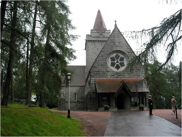
Crathie Kirk
Crathie Kirk is a small Church of Scotland parish church in the Scottish village of Crathie, best known for being the regular place of worship of the British...
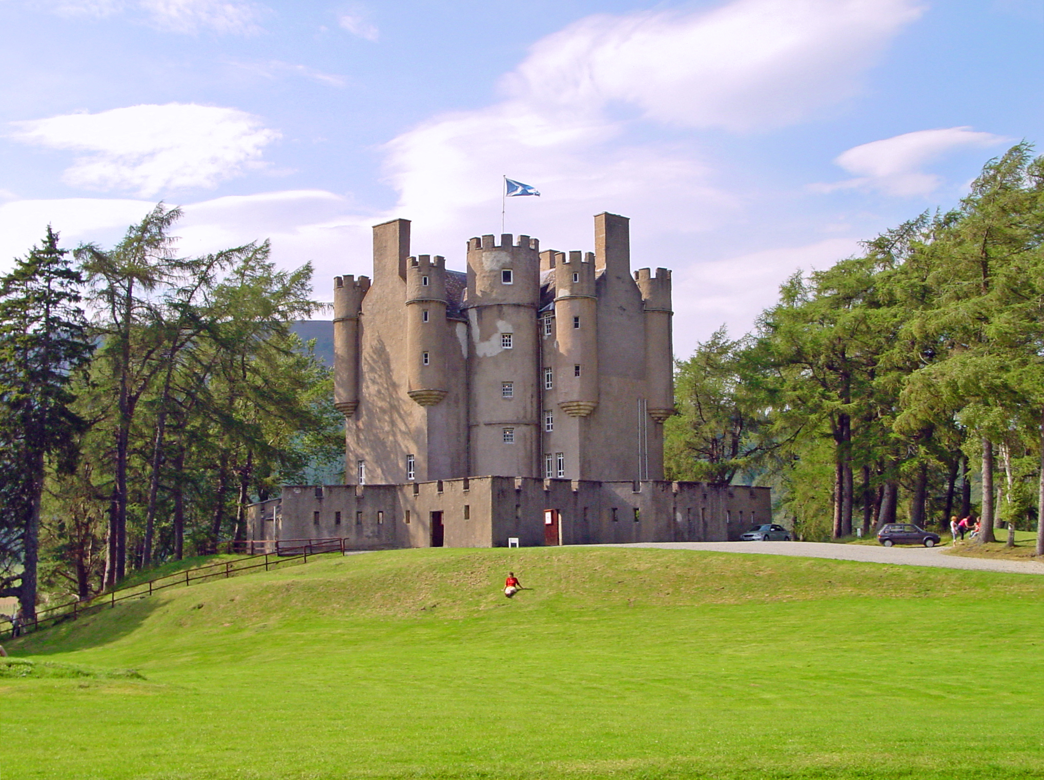
Braemar Castle
Braemar Castle is situated near the village of Braemar in Aberdeenshire, Scotland. It is a possession of the chief of Clan Farquharson and is leased to...

Lochnagar
Lochnagar or Beinn Chìochan is a mountain in the Mounth, in the Grampians of Scotland. It is about five miles (eight kilometres) south of the River Dee...
Nearby Amenities
Located within 500m of 57.009067,-3.283752Have you been to Mòine Chruinn?
Leave your review of Mòine Chruinn below (or comments, questions and feedback).