Bracks Plantation
Wood, Forest in Fife
Scotland
Bracks Plantation
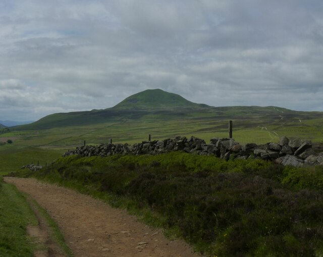
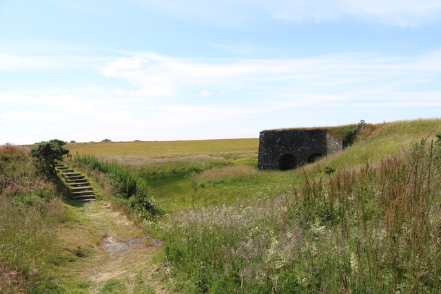
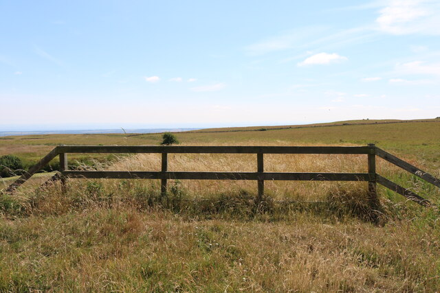
Bracks Plantation is a serene woodland located in the picturesque region of Fife, Scotland. Situated just a few miles away from the coastal town of Anstruther, this plantation covers an area of approximately 100 acres and is a popular destination for nature enthusiasts and hikers alike.
The woodland is predominantly composed of native tree species, including oak, birch, and beech, which create a dense canopy overhead, providing a haven for various bird species and small mammals. The forest floor is adorned with a rich carpet of ferns, mosses, and wildflowers, adding to the enchanting ambiance of the area.
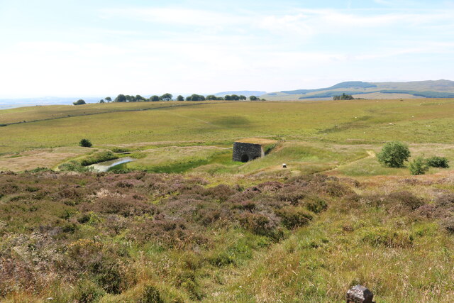
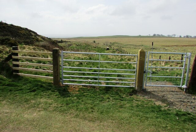
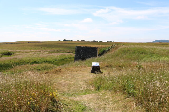
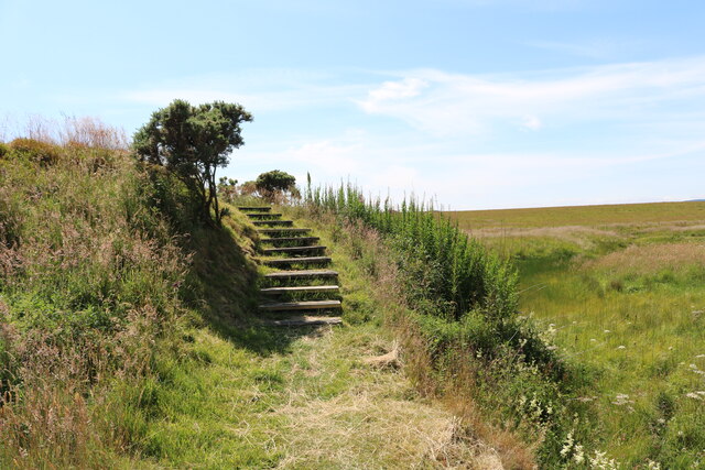
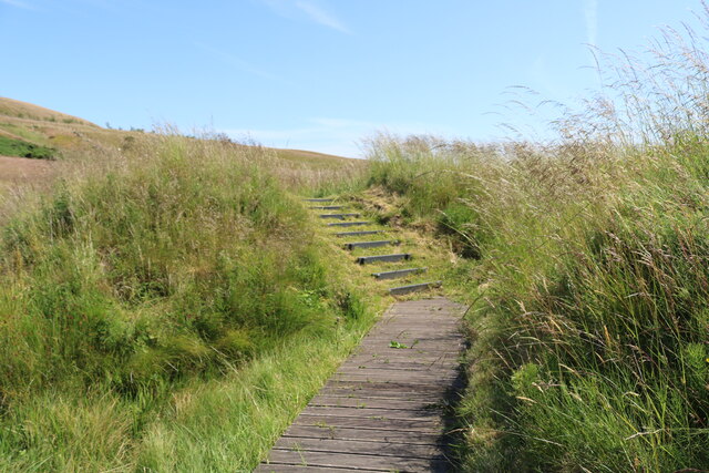
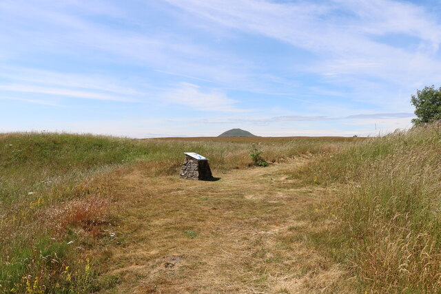
The plantation offers a range of well-maintained walking trails that wind through the trees, allowing visitors to explore the diverse landscape at their own pace. These trails vary in difficulty, catering to both casual strollers and more experienced hikers. Along the way, informative signposts provide details about the flora and fauna found within the woodland, enhancing the educational aspect of the visit.
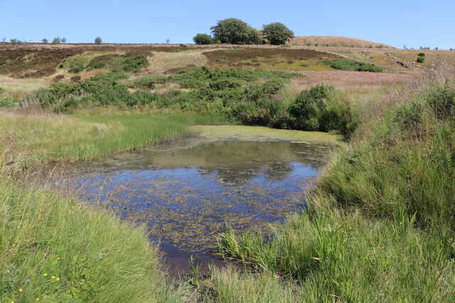
Bracks Plantation is also home to a small lake, which adds to the charm of the area. The tranquil waters teem with aquatic life, and visitors can often spot ducks, swans, and even the occasional heron. The lake also offers opportunities for fishing, making it a popular spot for angling enthusiasts.
Overall, Bracks Plantation in Fife is a natural gem that beckons visitors with its beauty and tranquility. Whether one seeks a peaceful stroll, an educational adventure, or a chance to immerse themselves in the wonders of nature, this wood is an idyllic destination.
If you have any feedback on the listing, please let us know in the comments section below.
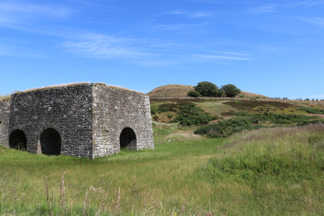
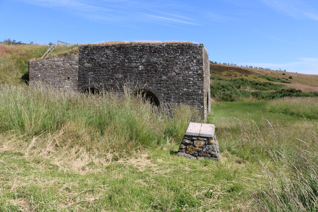
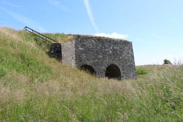
Bracks Plantation Images
Images are sourced within 2km of 56.245788/-3.2581229 or Grid Reference NO2206. Thanks to Geograph Open Source API. All images are credited.
Bracks Plantation is located at Grid Ref: NO2206 (Lat: 56.245788, Lng: -3.2581229)
Unitary Authority: Fife
Police Authority: Fife
What 3 Words
///different.grades.jogging. Near Falkland, Fife
Nearby Locations
Related Wikis

Lomond Hills
The Lomond Hills (meaning either beacon hills or bare hills), also known outside the locality as the Paps of Fife, are a range of hills in central Scotland...

West Lomond
West Lomond is the highest point in the county of Fife, Scotland and the highest peak in the Lomond Hills. Its cone-shaped summit, which is the remains...

Bunnet Stane
The Bunnet Stane (or bonnet stone) is a rock formation near the hamlet of Gateside in Fife, at the foot of West Lomond. It sits upon one of the calciferous...

Brunton House, Falkland
Brunton House is a Category A listed building in the village of Falkland in Fife, Scotland. It was formerly the residence of the hereditary falconers to...

Falkland Town Hall
Falkland Town Hall is a municipal building in the High Street, Falkland, Fife, Scotland. The structure, which has been converted for use as offices and...
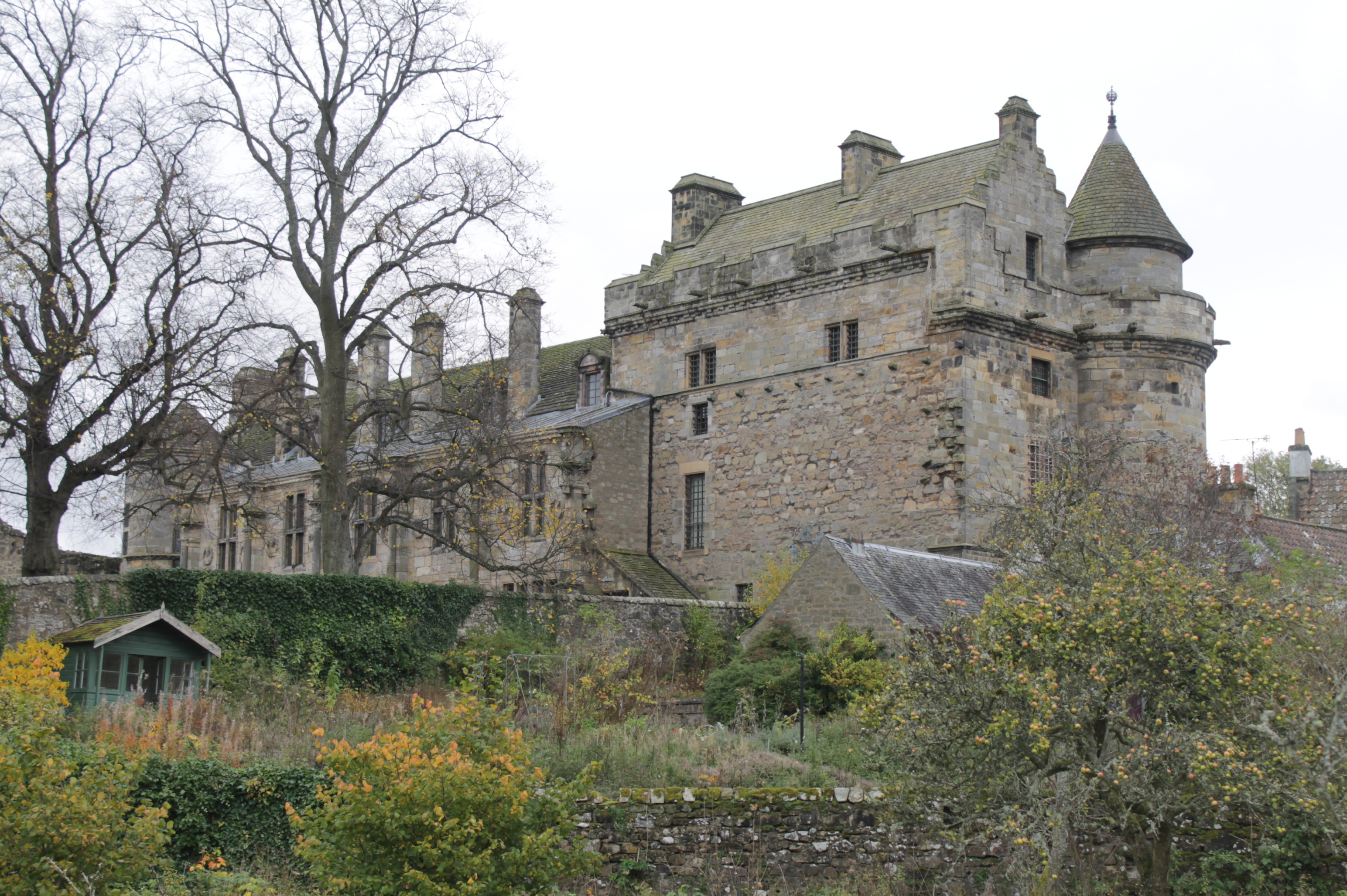
Falkland Palace
Falkland Palace, in Falkland, Fife, Scotland, is a royal palace of the Scottish Kings. It was one of the favourite places of Mary, Queen of Scots, providing...
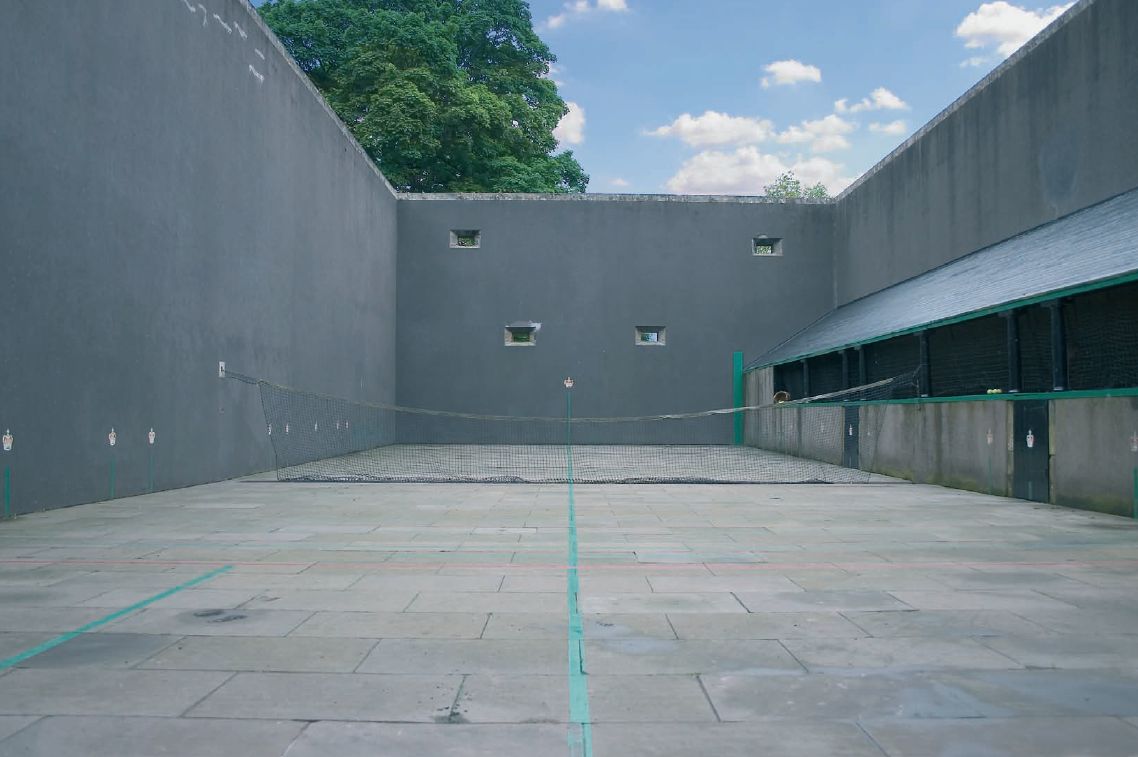
Falkland Palace Royal Tennis Club
The Falkland Palace Royal Tennis Club (also previously called the Falkland Palace Real Tennis Club) organizes play at the real tennis court in the gardens...

Strathmiglo
Strathmiglo (Scottish Gaelic: Srath Mioglach) (Ordnance Survey grid reference NO214101) is a village and parish in Fife, Scotland on the River Eden. It...
Nearby Amenities
Located within 500m of 56.245788,-3.2581229Have you been to Bracks Plantation?
Leave your review of Bracks Plantation below (or comments, questions and feedback).