Lintrose Den
Valley in Angus
Scotland
Lintrose Den
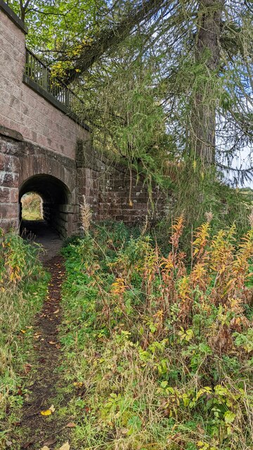
Lintrose Den is a picturesque and serene valley located in Angus, Scotland. Nestled amidst the rolling hills and lush greenery, it is a haven for nature enthusiasts and those seeking tranquility. The valley is situated approximately 5 miles north of the town of Forfar and covers an area of about 2 square miles.
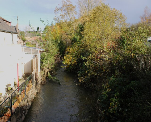
The main feature of Lintrose Den is the tranquil stream that meanders through the valley. The gurgling waters create a soothing ambiance, and the surrounding vegetation adds to the beauty of the place. The valley is home to a diverse range of plant and animal species, making it a popular spot for wildlife enthusiasts and birdwatchers.
Visitors can explore the area by following the well-maintained walking trails that wind through the valley. These trails offer breathtaking views of the surrounding countryside and provide opportunities to spot various species of birds, including kingfishers and herons.
Lintrose Den is also known for its ancient woodland, which adds an element of mystery and history to the area. The woodland consists of a mix of native trees, including oak, birch, and rowan. Walking through the dense forest, visitors can encounter moss-covered rocks and fallen tree trunks, creating a magical atmosphere.
Overall, Lintrose Den is a hidden gem in Angus, offering a peaceful retreat for nature lovers and a chance to immerse oneself in the beauty of the Scottish countryside.
If you have any feedback on the listing, please let us know in the comments section below.
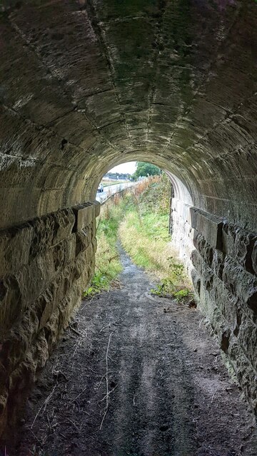
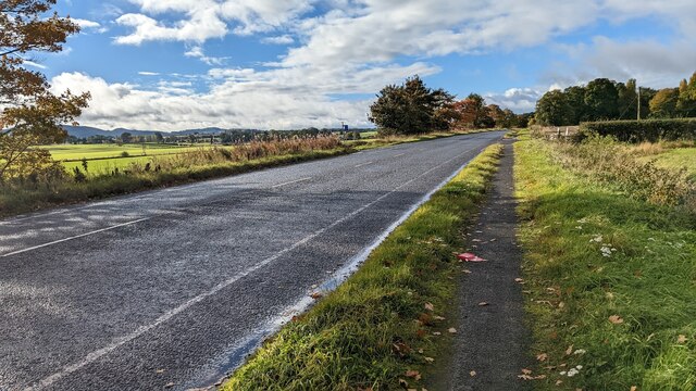
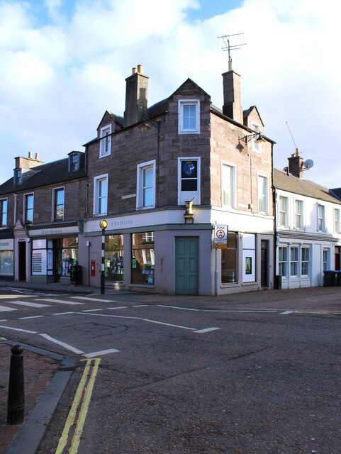
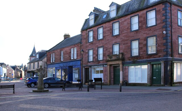
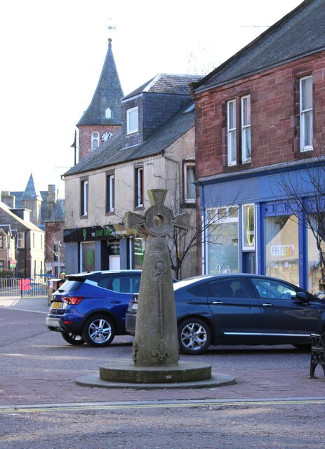
Lintrose Den Images
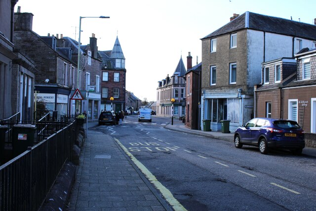
Images are sourced within 2km of 56.531365/-3.2617072 or Grid Reference NO2238. Thanks to Geograph Open Source API. All images are credited.


Lintrose Den is located at Grid Ref: NO2238 (Lat: 56.531365, Lng: -3.2617072)
Unitary Authority: Perth and Kinross
Police Authority: Tayside
What 3 Words
///heartened.good.doubt. Near Coupar Angus, Perth & Kinross
Nearby Locations
Related Wikis

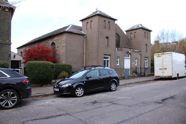
Campmuir
Campmuir () is a small village in the Perth and Kinross area of Scotland.Campmuir is located less than 1 mile (2 kilometres) south of the main A94 road...

Kettins
Kettins is a village in Perth and Kinross, Scotland about 14 miles (23 kilometres) northeast of Perth and 11 miles (18 kilometres) northwest of Dundee...
Coupar Angus railway station
Coupar Angus railway station served the town of Coupar Angus, Perth and Kinross, Scotland from 1837 to 1967 on the Scottish Midland Junction Railway....

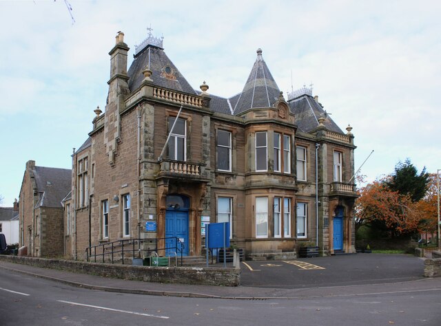
Coupar Angus Town Hall
Coupar Angus Town Hall is a municipal structure in Union Street in Coupar Angus, Perth and Kinross, Scotland. The structure, which is used as a community...
Nearby Amenities
Located within 500m of 56.531365,-3.2617072Have you been to Lintrose Den?
Leave your review of Lintrose Den below (or comments, questions and feedback).