Swinchy Cleuch

Valley in Peeblesshire

Scotland

Swinchy Cleuch

Black Cleuch Head Hurdle at the summit of Black Cleuch Head (675m)
Black Cleuch Head Credit: Richard Webb

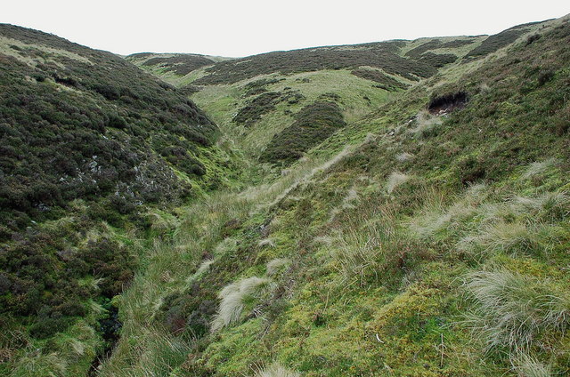
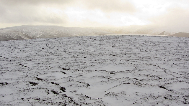
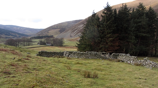
Swinchy Cleuch is a picturesque valley located in Peeblesshire, Scotland. Nestled amidst the rolling hills and verdant landscapes, this idyllic valley offers a tranquil retreat for nature enthusiasts and hikers alike.

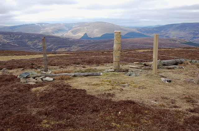
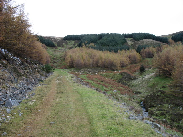
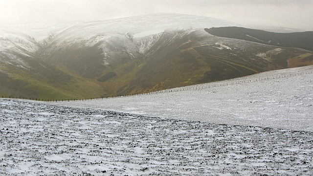
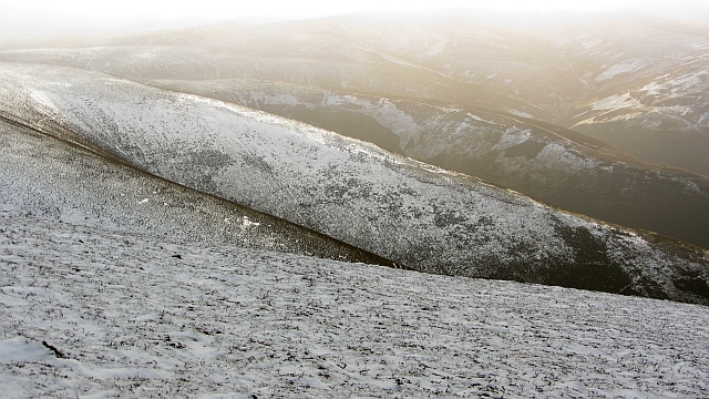
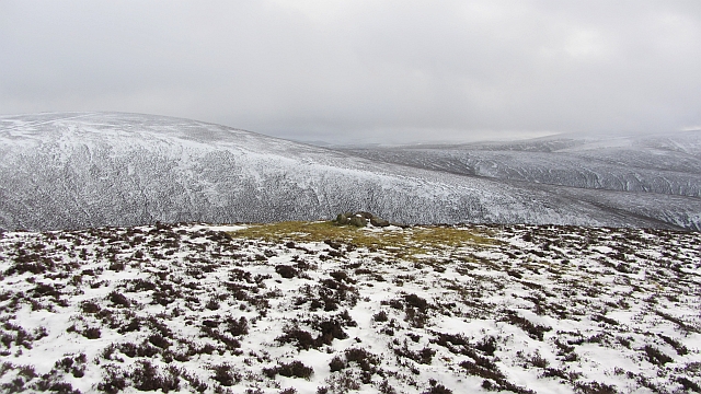
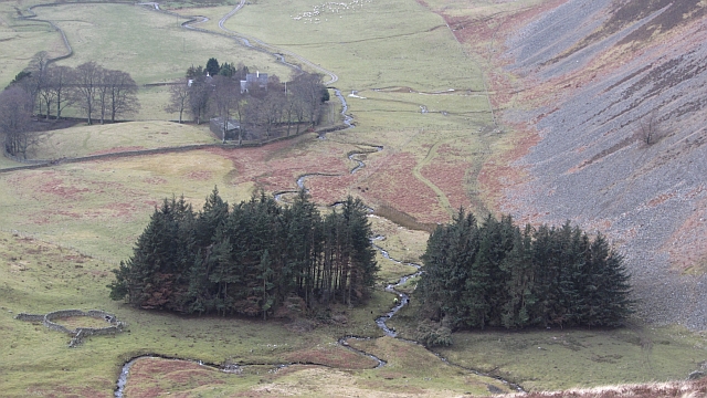
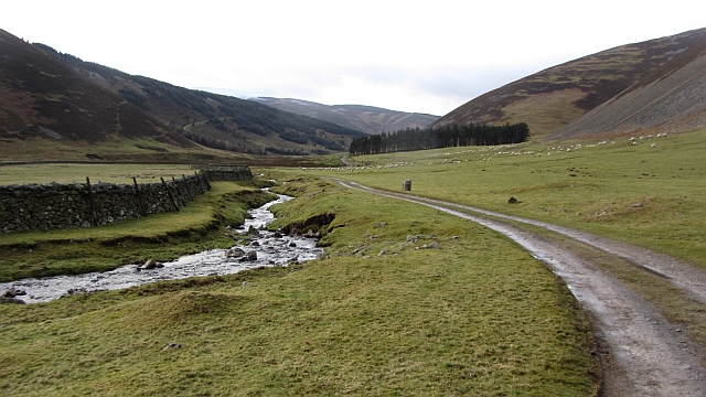
Situated approximately 5 miles southwest of Peebles, Swinchy Cleuch is easily accessible, making it a popular destination for day trips and weekend getaways. The valley is renowned for its breathtaking natural beauty, characterized by lush greenery, meandering streams, and a diverse range of flora and fauna.

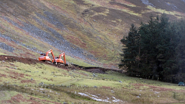
The valley's name, Swinchy Cleuch, originates from the Old English word "swincan," meaning to labor or toil, and "cleuch," meaning a narrow valley or ravine. This hints at the challenging terrain that can be encountered while exploring the area, with steep slopes and rocky pathways adding a touch of adventure to the experience.

One of the highlights of Swinchy Cleuch is the scenic walking trail that winds its way through the valley. The trail offers breathtaking views of the surrounding countryside, with opportunities to spot wildlife such as red deer, foxes, and various bird species. For those seeking a longer hike, the trail connects with other nearby paths, allowing for an extended exploration of the region.

In addition to its natural beauty, Swinchy Cleuch is also steeped in history. Ruins of old cottages and ancient settlements can be found scattered throughout the valley, offering a glimpse into the area's rich past.

Overall, Swinchy Cleuch is a hidden gem in Peeblesshire, offering visitors a chance to immerse themselves in the beauty of Scotland's countryside while enjoying a peaceful and rejuvenating escape from the hustle and bustle of everyday life.

If you have any feedback on the listing, please let us know in the comments section below.

Swinchy Cleuch Images

Images are sourced within 2km of 55.570311/-3.2308055 or Grid Reference NT2231. Thanks to Geograph Open Source API. All images are credited.

Black Cleuch Head Hurdle at the summit of Black Cleuch Head (675m)
Black Cleuch Head
Hurdle at the summit of Black Cleuch Head (675m)
The col to the east of White Cleuch A cold night
The col to the east of White Cleuch
A cold night
White Cleuch looking south east
The head of White Cleuch Steeper ground where the erosion has cut back into the plateau of these heather moors.
The head of White Cleuch
Steeper ground where the erosion has cut back into the plateau of these heather moors.
White Cleuch A few trees on the steep-sided banks have escaped the attentions of the sheep. Half way down, a side cleuch joins on the right.
White Cleuch
A few trees on the steep-sided banks have escaped the attentions of the sheep. Half way down, a side cleuch joins on the right.
The Tweed's smallest branches Steep little burns like these are the starting points for network of drainage that makes up the Tweed catchment. The head of White Cleuch here gives rise to one of the many small burns that combine to make the Glenrath Burn, which joins the Manor Water and eventually the Tweed.
The Tweed's smallest branches
Steep little burns like these are the starting points for network of drainage that makes up the Tweed catchment. The head of White Cleuch here gives rise to one of the many small burns that combine to make the Glenrath Burn, which joins the Manor Water and eventually the Tweed.
Col at Glenrath Heights Seen from Strummeadow Hill, with the headwaters of the Glensax Burn on the left.
Col at Glenrath Heights
Seen from Strummeadow Hill, with the headwaters of the Glensax Burn on the left.
Summit fence, Middle Hill Renewed fence at the summit, with Dollar Law and Cramalt Craig (with the snow) in the background.
Summit fence, Middle Hill
Renewed fence at the summit, with Dollar Law and Cramalt Craig (with the snow) in the background.
Track in Langhaugh Forest
A track in Langhaugh Forest We hoped to find an easy line from the end of this track up Horse Hope Hill. But although we made it, I cannot recommend this line of ascent!
A track in Langhaugh Forest
We hoped to find an easy line from the end of this track up Horse Hope Hill. But although we made it, I cannot recommend this line of ascent!
Glenrath Hill A fence runs across the ridge between Stob Law and Canada Hill. The fence has been there for a long time, yet is still only mapped by Harvey's.
Glenrath Hill
A fence runs across the ridge between Stob Law and Canada Hill. The fence has been there for a long time, yet is still only mapped by Harvey's.
Summit of Stob Law An unmarked heathery summit (there has been an attempt at a cairn, but it is not at the highest point).
Summit of Stob Law
An unmarked heathery summit (there has been an attempt at a cairn, but it is not at the highest point).
Glenrath Heights The western slopes fall steeply to Glenrathhope by a series of heathery spurs. The far spur gives an easy way up or down.
Glenrath Heights
The western slopes fall steeply to Glenrathhope by a series of heathery spurs. The far spur gives an easy way up or down.
Cairn, Glenrath Heights A cairn sits amongst moss on the spur between Fash Cleuch and Whitson's Cleuch. The cairn has probably attracted perching birds which have affected the local vegetation.  
Cairns like this are used for navigation by shepherds. I once met somebody who admitted to having got lost on his hill farm, even though he had worked there for thirty years.
Cairn, Glenrath Heights
A cairn sits amongst moss on the spur between Fash Cleuch and Whitson's Cleuch. The cairn has probably attracted perching birds which have affected the local vegetation. Cairns like this are used for navigation by shepherds. I once met somebody who admitted to having got lost on his hill farm, even though he had worked there for thirty years.
Woodland, Glenrath Hope Shepherds are moving a ewe which escaped when the hill sheep were being gathered earlier. The woodland has suffered recent storm damage.
Woodland, Glenrath Hope
Shepherds are moving a ewe which escaped when the hill sheep were being gathered earlier. The woodland has suffered recent storm damage.
Stell, Glenrath Hope A ruined fank and sheep shelter beside a small woodland.
Stell, Glenrath Hope
A ruined fank and sheep shelter beside a small woodland.
Road building, Glenrathhope Another hill road has been built up Black Cleuch. Suspiciously large scale but unlikely to be wind farmers as they would come in from the south off a bigger road. There are none of the dreaded masts visible.
Road building, Glenrathhope
Another hill road has been built up Black Cleuch. Suspiciously large scale but unlikely to be wind farmers as they would come in from the south off a bigger road. There are none of the dreaded masts visible.
Glenrathope road Access road to Glenrathope beside the Back Burn.
Glenrathope road
Access road to Glenrathope beside the Back Burn.
Show me another place!

Swinchy Cleuch is located at Grid Ref: NT2231 (Lat: 55.570311, Lng: -3.2308055)

Unitary Authority: The Scottish Borders

Police Authority: The Lothians and Scottish Borders

What 3 Words

///notice.waking.octopus. Near Peebles, Scottish Borders

Nearby Locations

Swinchy Cleuch

Related Wikis

Manor Hills

The Manor Hills, also known as the Tweedsmuir Hills, are a range of hills south of Peebles in the Scottish Borders, one of the ranges which collectively...

Dun Rig

Dun Rig is a hill in the Manor Hills range, part of the Southern Uplands of Scotland. It is the highest hill in the northernmost cluster of the Manor Hills...

Posso Tower

Posso Tower is a 16th-century tower house, about 6.0 miles (9.7 km) south and west of Peebles, Scottish Borders, Scotland, and west of Manor Water. �...

Black Law (hill)

Black Law is a hill in the Manor Hills range, part of the Southern Uplands of Scotland. One of the more remote Donalds, it does not easily combine into...

Have you been to Swinchy Cleuch?

Leave your review of Swinchy Cleuch below (or comments, questions and feedback).