Cathcart

Settlement in Renfrewshire

Scotland

Cathcart

Approaching Clarkston Road on Muirend Road
Approaching Clarkston Road on Muirend Road Credit: Elliott Simpson

Cathcart is a suburban area located in the council area of Renfrewshire, Scotland. Situated around 4 miles south of the city center of Glasgow, it is part of the Greater Glasgow conurbation. Cathcart is bordered by the neighborhoods of Mount Florida, Battlefield, Langside, and Newlands.

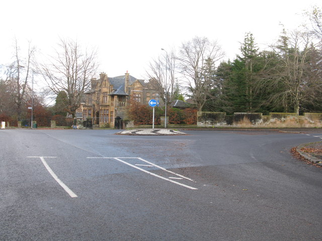
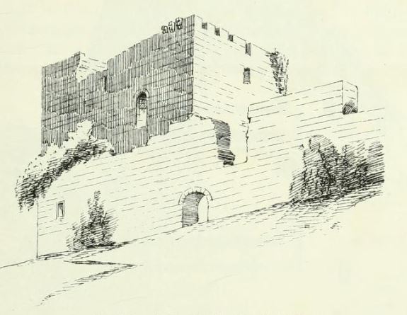
Historically, Cathcart was a small village before becoming a residential area in the 19th century due to the expansion of Glasgow. The area is known for its picturesque surroundings, with the nearby Cathcart Castle offering panoramic views of the city and the surrounding countryside.

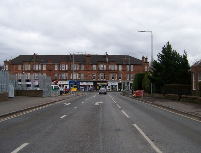
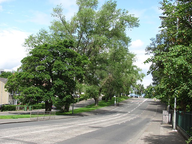
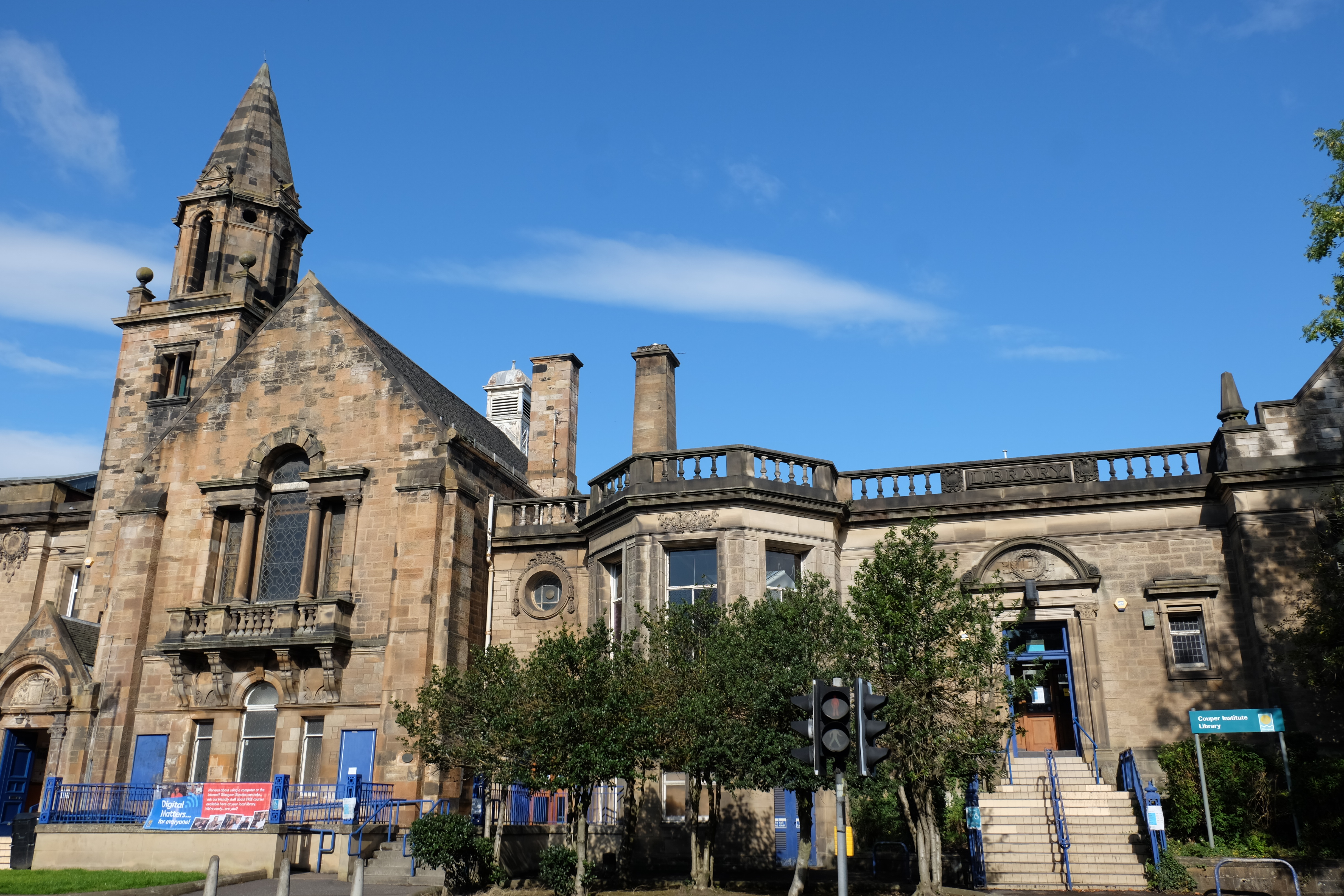
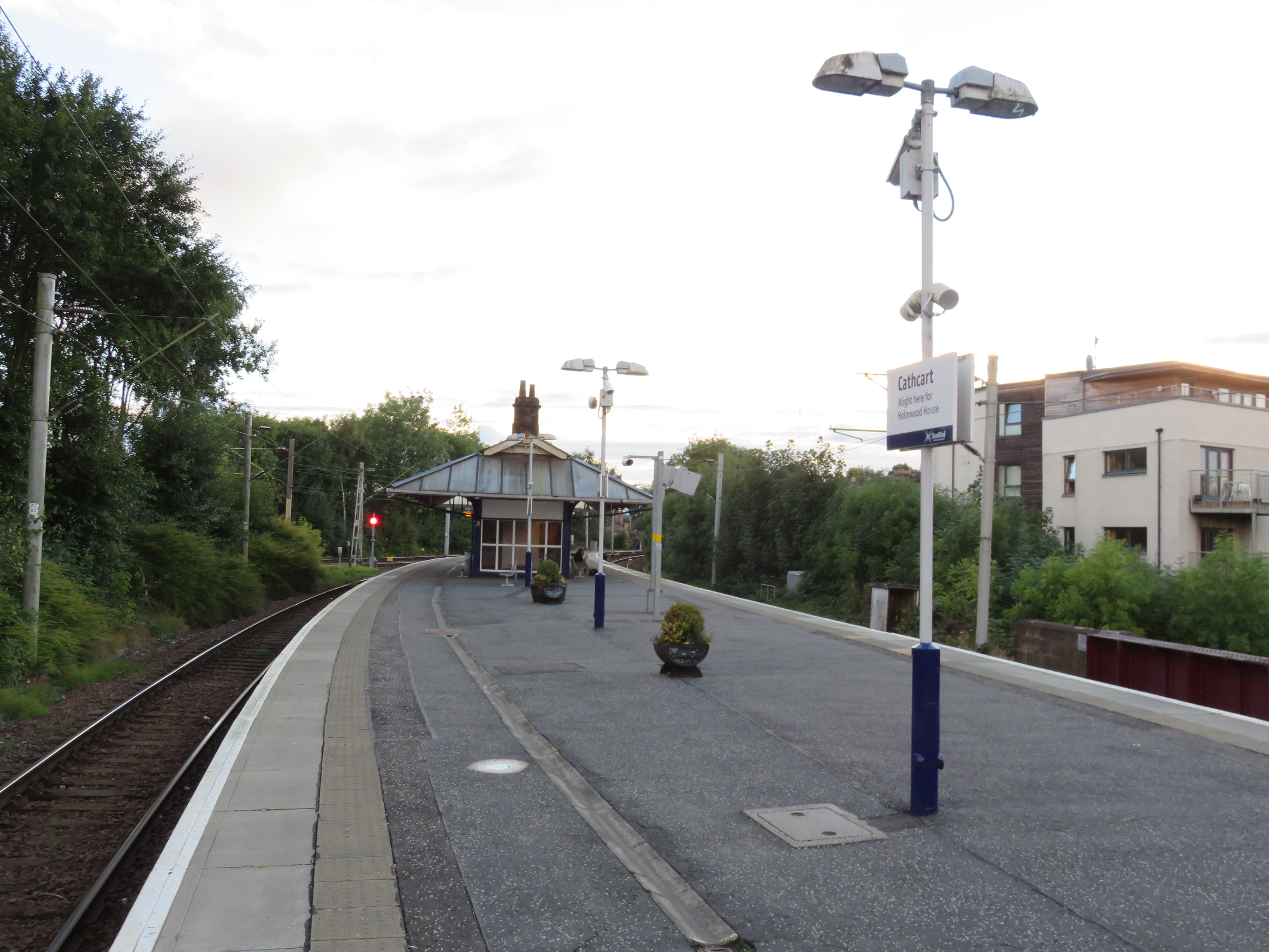
Cathcart boasts a mix of architectural styles, from Victorian-era stone-built villas to modern flats and apartments. It is a popular choice for families and professionals looking for a peaceful neighborhood with easy access to Glasgow's amenities. The area is well-served by public transport, with regular train services from Cathcart Railway Station and bus routes connecting it to the city center.

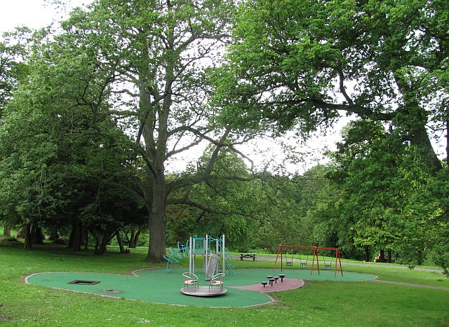
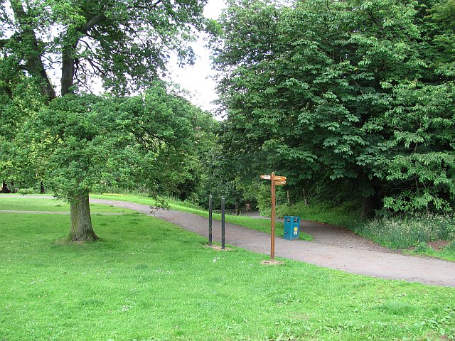
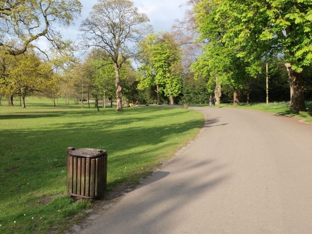
Residents of Cathcart benefit from a range of amenities, including shops, cafes, and restaurants located along Clarkston Road, the main thoroughfare. The area is home to several parks and green spaces, including Holmwood House, a National Trust for Scotland property, which attracts visitors with its stunning architecture and landscaped gardens.

Cathcart is also known for its strong sense of community, with local events and festivals organized throughout the year. The area has several primary and secondary schools, making it an attractive option for families with children.

Overall, Cathcart combines the charm of a suburban setting with the convenience of being close to a major city, making it an appealing place to live in Renfrewshire.

If you have any feedback on the listing, please let us know in the comments section below.
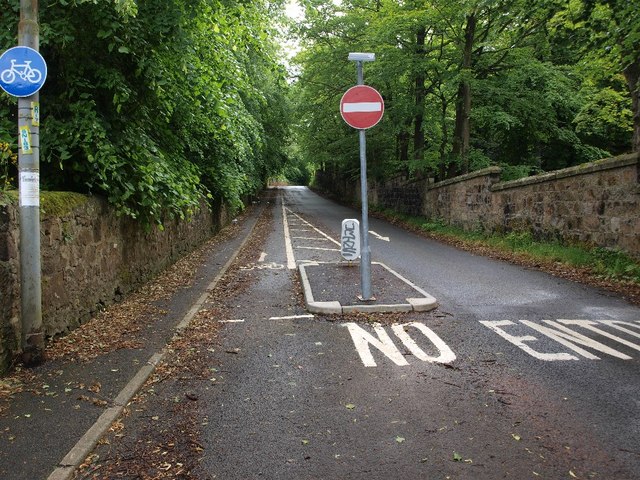
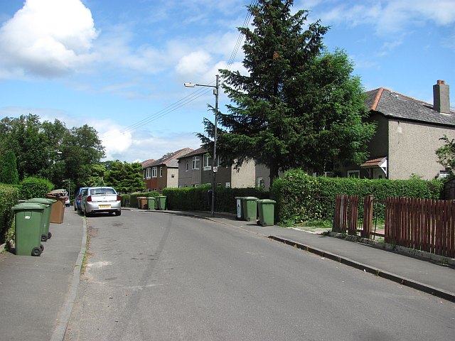
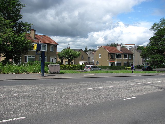
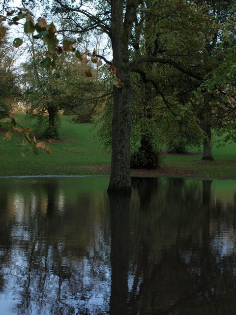
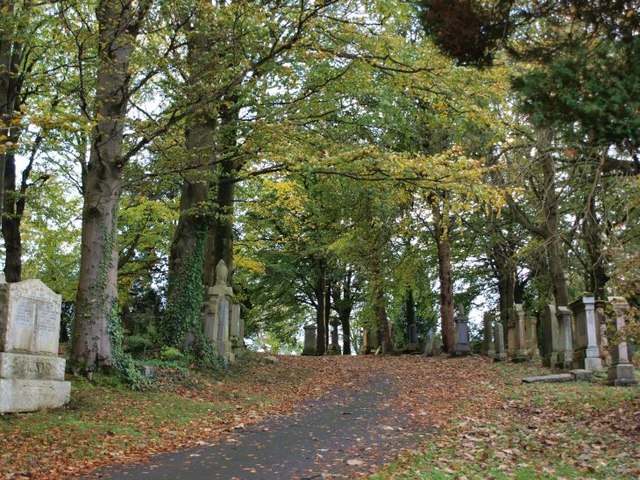
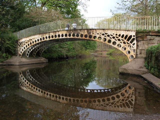
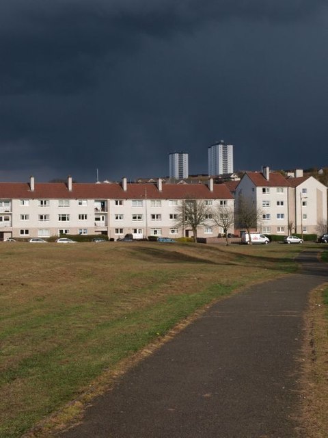
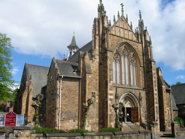
Cathcart Images

Images are sourced within 2km of 55.816721/-4.262636 or Grid Reference NS5860. Thanks to Geograph Open Source API. All images are credited.

Approaching Clarkston Road on Muirend Road
Mini-roundabout on Netherlee Road Netherlee Road meets Brenfield Road at this mini-roundabout. Netherlee Road splits Cathcart Cemetery in two and a gate into the northern section lies behind.
Mini-roundabout on Netherlee Road
Netherlee Road meets Brenfield Road at this mini-roundabout. Netherlee Road splits Cathcart Cemetery in two and a gate into the northern section lies behind.
Disused aviary in Linn Park I guess it was an aviary; possibly a reptile enclosure? Anyway it's not been used for some time.
Disused aviary in Linn Park
I guess it was an aviary; possibly a reptile enclosure? Anyway it's not been used for some time.
Simshill Road approaching Linn Park Golf Club Simshill Road climbs uphill to the entrance to Linn Park at the golf club. The actual course is on the behind the hedge on the left-hand side of the picture but a couple of presumably stray golf balls in the grass hint at its presence. Simshill road is traffic calmed at this point and there is a good path for pedestrians.
Simshill Road approaching Linn Park Golf Club
Simshill Road climbs uphill to the entrance to Linn Park at the golf club. The actual course is on the behind the hedge on the left-hand side of the picture but a couple of presumably stray golf balls in the grass hint at its presence. Simshill road is traffic calmed at this point and there is a good path for pedestrians.
Netherlee Road Netherlee Road used to provide a short-cut from Clarkston Road for some traffic heading north into the city. For many years it has been impossible to turn into it from Clarkston road (<a href="https://www.geograph.org.uk/photo/1342614">NS5759 : Traffic Island on Clarkston Road</a>). As shown here, it is also closed to south-heading traffic where it meets Brenfield Road.
Netherlee Road
Netherlee Road used to provide a short-cut from Clarkston Road for some traffic heading north into the city. For many years it has been impossible to turn into it from Clarkston road (NS5759 : Traffic Island on Clarkston Road). As shown here, it is also closed to south-heading traffic where it meets Brenfield Road.
Toddler tunnel This bit of pipe makes an adventurous tunnel for small children in this wee playpark in Linn Park.
Toddler tunnel
This bit of pipe makes an adventurous tunnel for small children in this wee playpark in Linn Park.
Thornicroft Drive, Croftfoot Residential street in the south of Glasgow.
Thornicroft Drive, Croftfoot
Residential street in the south of Glasgow.
Carmunnock Road A speed camera on Carmunnock Road, a busy route into/out of Glasgow.
Carmunnock Road
A speed camera on Carmunnock Road, a busy route into/out of Glasgow.
Carmunnock Road Carmunnock Road passing King's Park.
Carmunnock Road
Carmunnock Road passing King's Park.
Play apparatus, Linn Park Linn Park (73Ha) is the second largest park in Glasgow, according to the Council. (There may be other bigger ones looked after by the other local authorities). It is well wooded.
Play apparatus, Linn Park
Linn Park (73Ha) is the second largest park in Glasgow, according to the Council. (There may be other bigger ones looked after by the other local authorities). It is well wooded.
Linn Park Paths in the second largest park in Glasgow City Council's area (according to their website).
Linn Park
Paths in the second largest park in Glasgow City Council's area (according to their website).
Trees in Cathcart Cemetery On the lee of the hill the trees show the influence of the prevailing westerly winds.
Trees in Cathcart Cemetery
On the lee of the hill the trees show the influence of the prevailing westerly winds.
Tree in flood This slight hollow stands at the bottom of a slope in Linn Park popular for sledging in winter and egg-rolling on Easter Sunday. After the last few days' heavy rain quite a lot of water has collected there - not a particularly unusual sight in the winter.
Tree in flood
This slight hollow stands at the bottom of a slope in Linn Park popular for sledging in winter and egg-rolling on Easter Sunday. After the last few days' heavy rain quite a lot of water has collected there - not a particularly unusual sight in the winter.
Scene in Cathcart Cemetery
Bridge over the White Cart The bridge is viewed here from a little beach just to its south, on the other side from the view shown in <a href="https://www.geograph.org.uk/photo/1604980">NS5859 : Bridge over White Cart Water</a>. Since it is just upstream from the waterfall (<a href="https://www.geograph.org.uk/photo/984561">NS5859 : Waterfall in Linn Park</a>) and not far from the Clarkston Road entrance (<a href="https://www.geograph.org.uk/photo/1604974">NS5759 : Western entrance to Linn Park</a>) it sees lots of traffic from the Park's visitors. The river is not usually quite as tranquil as it was this afternoon.
Bridge over the White Cart
The bridge is viewed here from a little beach just to its south, on the other side from the view shown in NS5859 : Bridge over White Cart Water. Since it is just upstream from the waterfall (NS5859 : Waterfall in Linn Park) and not far from the Clarkston Road entrance (NS5759 : Western entrance to Linn Park) it sees lots of traffic from the Park's visitors. The river is not usually quite as tranquil as it was this afternoon.
Drakemire Drive with threatening sky The path in the foreground runs across the grassy area between Simshill Road (behind the photographer) and Drakemire Drive. The scary looking sky eventually fulfilled its promise, delivering a hail shower a couple of hours later.
Drakemire Drive with threatening sky
The path in the foreground runs across the grassy area between Simshill Road (behind the photographer) and Drakemire Drive. The scary looking sky eventually fulfilled its promise, delivering a hail shower a couple of hours later.
Scene in King's Park When I first came to Glasgow I was told that it has the most green space per head of population of all UK cities. I don't know if that's true but there are 90+ parks and gardens. King's Park is one of them, offering a pleasant space for the surrounding residential areas of Simshill, Castlemilk, Croftfoot and indeed King's Park.
Scene in King's Park
When I first came to Glasgow I was told that it has the most green space per head of population of all UK cities. I don't know if that's true but there are 90+ parks and gardens. King's Park is one of them, offering a pleasant space for the surrounding residential areas of Simshill, Castlemilk, Croftfoot and indeed King's Park.
Roundabout in Muirend At the junction of Langside Drive and Muirend Road.
Roundabout in Muirend
At the junction of Langside Drive and Muirend Road.
Show me another place!

Cathcart is located at Grid Ref: NS5860 (Lat: 55.816721, Lng: -4.262636)

Unitary Authority: City of Glasgow

Police Authority: Greater Glasgow

What 3 Words

///oasis.clap.every. Near Netherlee, East Renfrewshire

Related Wikis

Nearby Amenities

Located within 500m of 55.816721,-4.262636
Traffic Signals
Lat/Long: 55.8138674/-4.2669576
Traffic Signals
Lat/Long: 55.8183082/-4.2615003
Crossing
Crossing: unmarked
Kerb: lowered
Tactile Paving: no
Lat/Long: 55.8174517/-4.2590516
Library
Couper Institute Library
Lat/Long: 55.8160605/-4.2642864
Pharmacy
Dispensing: yes
Healthcare: pharmacy
Lat/Long: 55.8138/-4.2667912
Street Lamp
Bollard: fixed
Lat/Long: 55.8137139/-4.2588548
Post Box
Collection Times: Mo-Fr 09:00; Sa 07:00
Ref: G44 1205D
Royal Cypher: GVIR
Royal Cypher Wikidata: Q33102169
Lat/Long: 55.8164341/-4.2696162
Railway: switch
Lat/Long: 55.8172114/-4.2620702
Cathcart
Naptan AtcoCode: 9100CCRT
Network: National Rail
Network Website: https://www.nationalrail.co.uk/stations/cct/
Network Wikidata: Q26334
Operator: ScotRail
Operator Website: https://www.scotrail.co.uk/plan-your-journey/stations-and-facilities/cct
Operator Wikidata: Q18356161
Public Transport: station
Railway: station
Ref Crs: CCT
Train: yes
Wheelchair: no
Wikidata: Q2209530
Wikipedia: en:Cathcart railway station
Lat/Long: 55.8177954/-4.2603903
Mini Roundabout
Direction: clockwise
Lat/Long: 55.8186032/-4.2566591
Railway: switch
Lat/Long: 55.8171104/-4.26256
Pub
Beechings
Lat/Long: 55.8168492/-4.2627255
Cathcart
Is In: Glasgow
Place: suburb
Wikidata: Q5052163
Wikipedia: en:Cathcart
Lat/Long: 55.8169882/-4.2624244
Cathcart Old Parish Church Tower
Historic: ruins
Religion: christian
Lat/Long: 55.8180763/-4.2562906
Railway: railway_crossing
Lat/Long: 55.8173785/-4.2611491
Post Box
Collection Times: Mo-Fr 09:00, Sa 07:00
Post Box Type: pillar
Postal Code: G43
Ref: G43 485
Royal Cypher: EVIIR
Royal Cypher Wikidata: Q33102324
Lat/Long: 55.8181923/-4.267511
Bicycle Parking
Bicycle Parking: stands
Capacity: 4
Covered: no
Lat/Long: 55.8178605/-4.2620713
Telephone
Booth: KX100
Covered: booth
Operator: BT
Phone: +44 141 6371203
Lat/Long: 55.8182291/-4.267511
Bus Stop
Newlands Road / Earlspark Avenue
Bus: yes
Naptan AtcoCode: 60902594
Naptan Bearing: E
Naptan CommonName: Earls Park Avenue
Naptan Indicator: before
Naptan Landmark: Earls Park Avenue
Naptan NaptanCode: 45234263
Naptan Street: Newlands Road
Public Transport: platform
Ref: 60902594
Shelter: no
Lat/Long: 55.8181566/-4.2678411
Telephone
Booth: KX100
Covered: booth
Operator: BT
Phone: +44 141 637 0117
Lat/Long: 55.8172839/-4.2625032
Post Office
Barry's
Ref Pol Id: 3885
Source: OS OpenData StreetView
Lat/Long: 55.8174371/-4.2623121
Railway: railway_crossing
Lat/Long: 55.8169767/-4.2631776
Fast Food
Hot Masala
Cuisine: indian
Lat/Long: 55.8151822/-4.2577285
James Buchanan
Shop: hairdresser
Lat/Long: 55.8151076/-4.2576732
Old Castle Newsagent
Shop: newsagent
Lat/Long: 55.8151455/-4.2577041
Pub
The Old Smiddy
Addr City: Glasgow
Addr Housenumber: 131
Addr Street: Old Castle Road
Operator: Stonegate
Operator Wikidata: Q7619176
Website: https://www.greatukpubs.co.uk/old-smiddy-cathcart
Lat/Long: 55.8150047/-4.2576481
Post Box
Collection Times: Mo-Fr 17:45, Sa 13:15
Operator: Royal Mail
Ref: G44 203
Royal Cypher: EVIIR
Royal Cypher Wikidata: Q33102324
Source: survey; dracos
Lat/Long: 55.8153238/-4.2578259
Bus Stop
Holmlea Road / Gryffe Street
Bench: yes
Bin: yes
Bus: yes
Lit: yes
Naptan AtcoCode: 60902566
Naptan Bearing: N
Naptan CommonName: Gryffe Street
Naptan Indicator: before
Naptan Landmark: Gryffe Street
Naptan NaptanCode: 45238249
Naptan Street: Holmlea Road
Public Transport: platform
Ref: 60902566
Shelter: yes
Tactile Paving: no
Lat/Long: 55.82106/-4.26092
Bus Stop
Holmlea Road / Orchy Street
Bench: no
Bin: no
Bus: yes
Lit: yes
Naptan AtcoCode: 60902567
Naptan Bearing: S
Naptan CommonName: Orchy Street
Naptan Indicator: Opp
Naptan Landmark: Orchy Street
Naptan NaptanCode: 45232876
Naptan Street: Holmlea Road
Public Transport: platform
Ref: 60902567
Shelter: no
Tactile Paving: no
Lat/Long: 55.82023/-4.2605
Bus Stop
Holmlea Road / Tulloch Street
Bench: yes
Bin: yes
Bus: yes
Lit: yes
Naptan AtcoCode: 60902568
Naptan Bearing: NE
Naptan CommonName: Tulloch Street
Naptan Indicator: Before
Naptan Landmark: Tulloch Street
Naptan NaptanCode: 45234364
Naptan Street: Holmlea Road
Public Transport: platform
Ref: 60902568
Shelter: yes
Tactile Paving: no
Lat/Long: 55.81888/-4.26124
Bus Stop
Rannoch Street / Holmlea Road
Bench: yes
Bin: no
Bus: yes
Lit: yes
Naptan AtcoCode: 60902596
Naptan Bearing: E
Naptan CommonName: Holmlea Road
Naptan Indicator: before
Naptan Landmark: Holmlea Road
Naptan NaptanCode: 45243435
Naptan Street: Rannoch Street
Public Transport: platform
Ref: 60902596
Shelter: yes
Tactile Paving: no
Lat/Long: 55.81994/-4.26111
Bus Stop
Spean Street / Scottish Power
Bench: no
Bin: no
Bus: yes
Lit: no
Naptan AtcoCode: 60902597
Naptan Bearing: S
Naptan CommonName: Orchy Street
Naptan Indicator: before
Naptan Landmark: Scottish Power
Naptan NaptanCode: 45234865
Naptan Street: Spean Street
Public Transport: platform
Ref: 60902597
Shelter: no
Tactile Paving: no
Lat/Long: 55.82106/-4.2637
Bus Stop
Spean Street / Scottish power
Bench: yes
Bin: no
Bus: yes
Lit: yes
Naptan AtcoCode: 60902598
Naptan Bearing: N
Naptan CommonName: Orchy Street
Naptan Indicator: opp
Naptan Landmark: Scottish power
Naptan NaptanCode: 45238784
Naptan Street: Spean Street
Public Transport: platform
Ref: 60902598
Shelter: yes
Tactile Paving: no
Lat/Long: 55.82089/-4.26378
Bus Stop
Clarkston Road / Bowling Green Road
Bench: no
Bus: yes
Naptan AtcoCode: 60902572
Naptan Bearing: NE
Naptan CommonName: Holmhead Road
Naptan Indicator: opp
Naptan Landmark: Bowling Green Road
Naptan NaptanCode: 45235734
Naptan Street: Clarkston Road
Public Transport: platform
Ref: 60902572
Shelter: yes
Lat/Long: 55.81484/-4.2659
Bus Stop
Clarkston Road / Holmhead Crescent
Bench: yes
Bin: yes
Bus: yes
Lit: yes
Naptan AtcoCode: 60902569
Naptan Bearing: SW
Naptan CommonName: Holmhead Crescent
Naptan Indicator: opp
Naptan Landmark: Holmhead Cres
Naptan NaptanCode: 45234746
Naptan Street: Clarkston Road
Public Transport: platform
Ref: 60902569
Shelter: yes
Tactile Paving: no
Lat/Long: 55.8179459/-4.2616863
Bus Stop
Clarkston Road / Holmhead Road
Bench: yes
Bin: no
Bus: yes
Lit: yes
Naptan AtcoCode: 60902573
Naptan Bearing: SW
Naptan CommonName: Holmhead Road
Naptan Indicator: after
Naptan Landmark: Holmhead Road
Naptan NaptanCode: 45236597
Naptan Street: Clarkston Road
Public Transport: platform
Ref: 60902573
Shelter: yes
Tactile Paving: no
Lat/Long: 55.81462/-4.26592
Bus Stop
Clarkston Road / Monreith Road East
Bench: yes
Bin: no
Bus: yes
Lit: yes
Naptan AtcoCode: 60902570
Naptan Bearing: NE
Naptan CommonName: Monreith Road East
Naptan Indicator: before
Naptan Landmark: Monreith Road East
Naptan NaptanCode: 45236346
Naptan Street: Clarkston Road
Public Transport: platform
Ref: 60902570
Shelter: yes
Tactile Paving: no
Lat/Long: 55.81605/-4.26366
Bus Stop
Clarkston Road / Struan Road
Bench: no
Bin: no
Bus: yes
Lit: yes
Naptan AtcoCode: 60902571
Naptan Bearing: SW
Naptan CommonName: Struan Road
Naptan Indicator: after
Naptan Landmark: Struan Road
Naptan NaptanCode: 45243654
Naptan Street: Clarkston Road
Public Transport: platform
Ref: 60902571
Shelter: no
Tactile Paving: no
Lat/Long: 55.8155043/-4.2645652
Bus Stop
Newlands Road / Earlspark Avenue
Bus: yes
Naptan AtcoCode: 60904082
Naptan Bearing: W
Naptan CommonName: Earls Park Avenue
Naptan Indicator: opp
Naptan Landmark: Earls Park Avenue
Naptan NaptanCode: 45245375
Naptan Street: Newlands Road
Public Transport: platform
Ref: 60904082
Shelter: no
Lat/Long: 55.81804/-4.26789
Bus Stop
Newlands Road / Tankerland Road
Bench: no
Bin: no
Bus: yes
Naptan AtcoCode: 60904081
Naptan Bearing: NW
Naptan CommonName: Tankerland Road
Naptan Indicator: after
Naptan Landmark: Tankerland Road
Naptan NaptanCode: 45245374
Naptan Street: Newlands Road
Public Transport: platform
Ref: 60904081
Shelter: no
Lat/Long: 55.81754/-4.26349
Bus Stop
Newlands Road / Tankerland Road
Bench: no
Bin: no
Bus: yes
Naptan AtcoCode: 60902595
Naptan Bearing: SE
Naptan CommonName: Tankerland Road
Naptan Indicator: Opp
Naptan Landmark: Tankerland Road
Naptan NaptanCode: 45232949
Naptan Street: Newlands Road
Public Transport: platform
Ref: 60902595
Shelter: no
Lat/Long: 55.81762/-4.26342
Traffic Signals
Lat/Long: 55.8186341/-4.2555708
Addr City: Glasgow
Addr Housenumber: 61
Addr Postcode: G44 5TG
Addr Street: Old Castle Road
Check Date: 2024-04-14
Disused Shop: yes
Source: survey
Lat/Long: 55.8165472/-4.2580397
Railway: switch
Lat/Long: 55.8170359/-4.2626796
Railway: switch
Lat/Long: 55.8171995/-4.2617964
Traffic Signals
Traffic Signals: signal
Lat/Long: 55.8137295/-4.2671249
Traffic Signals
Traffic Signals: signal
Lat/Long: 55.8136696/-4.2672123
Traffic Signals
Traffic Signals: signal
Lat/Long: 55.816942/-4.262406
Direction: both
Traffic Calming: cushion
Lat/Long: 55.8170866/-4.2586302
Barrier: bollard
Bollard: fixed
Lat/Long: 55.8147924/-4.2656228
Barrier: bollard
Bollard: fixed
Lat/Long: 55.8190076/-4.255817
Barrier: cycle_barrier
Bicycle: dismount
Description: Two metal fences to form a chicane. Quite closely spaced on a steep slope with degraded asphalt surface and loose gravel.
Direction: both
Foot: yes
Surface: asphalt
Lat/Long: 55.8138096/-4.259433
Addr City: Glasgow
Addr Housenumber: 27
Addr Street: Snuff Mill Road
Entrance: yes
Lat/Long: 55.8136719/-4.2588117
Addr City: Glasgow
Addr Housenumber: 40
Addr Street: Snuff Mill Road
Entrance: yes
Lat/Long: 55.8137817/-4.2587188
Addr City: Glasgow
Addr Housenumber: 38
Addr Street: Snuff Mill Road
Entrance: yes
Lat/Long: 55.8138474/-4.2586282
Barrier: bollard
Bollard: fixed
Lat/Long: 55.8137653/-4.2593858
Cathcart West Junction
Railway: junction
Lat/Long: 55.8171254/-4.262289
Cycle Lane
Addr City: Glasgow
Addr Housenumber: 193
Addr Postcode: G44 3BS
Addr Street: Clarkston Road
Opening Hours: Mo-Sa 09:30-17:30
Shop: bicycle
Website: https://cyclelane.co.uk/
Lat/Long: 55.8141366/-4.2663682
Dentist
Merrylee Dental Practice
Healthcare: dentist
Lat/Long: 55.8138929/-4.2666604
Beyond the Fringe
Female: yes
Male: yes
Shop: hairdresser
Lat/Long: 55.8140306/-4.2665008
DMH Accountancy
Office: accountant
Lat/Long: 55.8140811/-4.2664397
Shop: newsagent
Lat/Long: 55.8137125/-4.266933
Crossing
Button Operated: yes
Crossing: traffic_signals
Crossing Island: no
Tactile Paving: yes
Traffic Signals Sound: yes
Traffic Signals Vibration: yes
Lat/Long: 55.8158316/-4.2639673
Post Box
Collection Times: Mo-Fr 16:15, Sa 13:00
Operator: Royal Mail
Post Box Design: type_k
Post Box Type: pillar
Ref: G44 438
Royal Cypher: scottish_crown
Lat/Long: 55.8172819/-4.2621311
Generator Method: photovoltaic
Generator Output Electricity: yes
Generator Source: solar
Generator Type: solar_photovoltaic_panel
Power: generator
Lat/Long: 55.8135522/-4.2600172
Crossing
Button Operated: yes
Crossing: traffic_signals
Crossing Island: no
Tactile Paving: yes
Traffic Signals Sound: no
Traffic Signals Vibration: yes
Lat/Long: 55.818622/-4.2557887
Crossing
Button Operated: yes
Crossing: traffic_signals
Crossing Island: no
Tactile Paving: yes
Traffic Signals Sound: no
Traffic Signals Vibration: yes
Lat/Long: 55.8187781/-4.2555892
Crossing
Button Operated: yes
Crossing: traffic_signals
Crossing Island: no
Tactile Paving: yes
Traffic Signals Sound: no
Traffic Signals Vibration: yes
Lat/Long: 55.8185044/-4.2555471
Crossing
Crossing: traffic_signals
Crossing Island: no
Tactile Paving: no
Lat/Long: 55.8173225/-4.2628249
Barry's
Brand: Premier
Brand Wikidata: Q7240340
Check Date Opening Hours: 2023-03-06
Opening Hours: Mo-Fr 07:00-22:00; Sa,Su 08:00-22:00
Payment Cash: yes
Shop: convenience
Lat/Long: 55.817472/-4.2622903
Cafe
The Vault
Cuisine: coffee_shop
Indoor Seating: yes
Opening Hours: Tu-Fr 08:30-16:00; Sa,Su 09:00-17:00
Operator: Ovenbird Coffee Roasters
Outdoor Seating: no
Payment Credit Cards: yes
Payment Debit Cards: yes
Takeaway: yes
Lat/Long: 55.8173145/-4.262415
Fitness Station: air_walker
Lat/Long: 55.821202/-4.2625156
Fitness Station: pull_down
Lat/Long: 55.8211658/-4.2625018
Waste Basket
Waste: dog_excrement;trash
Lat/Long: 55.8210753/-4.2624147
Bench
Backrest: yes
Colour: black
Material: metal
Seats: 3
Lat/Long: 55.8209252/-4.2610638
Bench
Backrest: yes
Colour: black
Material: metal
Seats: 3
Lat/Long: 55.8208376/-4.2627889
Bench
Backrest: yes
Colour: black
Material: metal
Seats: 3
Lat/Long: 55.8206706/-4.2614278
Bench
Backrest: yes
Colour: black
Material: metal
Seats: 3
Lat/Long: 55.8209199/-4.2626693
Bench
Backrest: yes
Colour: black
Material: metal
Seats: 3
Lat/Long: 55.8208946/-4.2630235
Bench
Backrest: yes
Colour: black
Material: metal
Seats: 3
Lat/Long: 55.8209299/-4.2614315
Grit Bin
Lat/Long: 55.8204422/-4.2621224
Bench
Backrest: yes
Colour: black
Material: metal
Seats: 3
Lat/Long: 55.8208828/-4.2617234
Bench
Backrest: yes
Colour: black
Material: metal
Seats: 3
Lat/Long: 55.8207269/-4.261619
Bench
Backrest: yes
Colour: black
Material: metal
Seats: 3
Lat/Long: 55.8210042/-4.2610822
Playground: climbingframe
Lat/Long: 55.8206307/-4.2628112
Bench
Backrest: yes
Colour: black
Material: metal
Seats: 3
Lat/Long: 55.8208889/-4.261289
Recycling
Opening Hours: 24/7
Operator: Salvation Army
Recycling Clothes: yes
Recycling Shoes: yes
Recycling Type: container
Lat/Long: 55.8208347/-4.2608868
Waste Basket
Waste: dog_excrement;trash
Lat/Long: 55.8208553/-4.2610869
Bench
Backrest: yes
Colour: black
Material: metal
Seats: 3
Lat/Long: 55.8207814/-4.2612244
Bench
Backrest: yes
Colour: black
Material: metal
Seats: 3
Lat/Long: 55.8210698/-4.2610946
Playground: swing
Lat/Long: 55.8206017/-4.2625496
Playground: basketswing
Lat/Long: 55.8205379/-4.2626973
Bench
Backrest: yes
Colour: black
Material: metal
Seats: 3
Lat/Long: 55.8209361/-4.2613131
Playground: climbingframe
Lat/Long: 55.8205581/-4.2628559
Waste Basket
Waste: dog_excrement;trash
Lat/Long: 55.8209715/-4.2618679
Playground: slide
Lat/Long: 55.8206699/-4.2626657
Fitness Station: body_twister
Lat/Long: 55.8210854/-4.2624995
Bench
Backrest: yes
Colour: black
Material: metal
Seats: 3
Lat/Long: 55.8208792/-4.261427
Fitness Station: leg_press
Lat/Long: 55.8211254/-4.2624946
Recycling
Opening Hours: 24/7
Recycling Glass: yes
Recycling Glass Bottles: yes
Recycling Type: container
Lat/Long: 55.8209435/-4.2609143
Entrance: yes
Lat/Long: 55.8208867/-4.2609255
Entrance: yes
Lat/Long: 55.8204503/-4.2621493
Entrance: yes
Lat/Long: 55.8204048/-4.262751
Entrance: yes
Lat/Long: 55.8208209/-4.2635395
Historic: memorial
Inscription: Queen Elizabeth Field/Diamond Jubilee 2012/Fields In Trust
Memorial: plaque
Lat/Long: 55.8208515/-4.2635181
Waste Basket
Waste: dog_excrement;trash;cigarettes
Lat/Long: 55.8152446/-4.2576911
Give Way
Direction: backward
Lat/Long: 55.8162087/-4.2655023
Day-Today express
Addr Street: Newlands Road
Shop: convenience
Lat/Long: 55.81739/-4.2630683
PW Building & Landscaping
Office: company
Lat/Long: 55.8172527/-4.262795
Coral
Addr Street: Newlands Road
Shop: bookmaker
Lat/Long: 55.817314/-4.262909
Polished
Addr Street: Newlands Road
Shop: cosmetics
Lat/Long: 55.81739/-4.2625538
Restaurant
The White Cart Chippy
Addr Housenumber: 245
Addr Street: Newlands Road
Check Date: 2022-05-16
Name En: The White Cart Chippy
Lat/Long: 55.8174267/-4.2626651
Bicycle Rental
Cathcart Railway Station (8206)
Bicycle Rental: dropoff_point
Network: nextbike Glasgow
Operator: Ovo energy
Ref: 8206
Lat/Long: 55.8172329/-4.2624913
Celeros
Addr Street: Newlands Road
Office: company
Lat/Long: 55.8183445/-4.2649722
Generator Method: photovoltaic
Generator Output Electricity: yes
Generator Source: solar
Generator Type: solar_photovoltaic_panel
Power: generator
Lat/Long: 55.8125187/-4.2644495
Generator Method: photovoltaic
Generator Output Electricity: yes
Generator Source: solar
Generator Type: solar_photovoltaic_panel
Power: generator
Lat/Long: 55.8125187/-4.2644495
Shop Local
Check Date: 2022-05-16
Opening Hours: Mo-Fr 09:00-22:00; Sa,Su 10:00-22:00
Shop: convenience
Lat/Long: 55.8200394/-4.2603786
CHD
Beauty: hair;makeup
Check Date: 2022-05-16
Check Date Opening Hours: 2023-05-29
Opening Hours Signed: no
Shop: beauty
Lat/Long: 55.8200909/-4.2604095
Silki
Check Date: 2022-05-16
Check Date Opening Hours: 2023-06-07
Female Signed: no
Male Signed: no
Opening Hours Signed: no
Phone: +44 141 637 1614
Shop: hairdresser
Lat/Long: 55.8184513/-4.2612045
Restaurant
Velvet Sparrow
Check Date: 2022-05-16
Lat/Long: 55.8177639/-4.2616772
Barrier: kerb
Kerb: lowered
Tactile Paving: no
Lat/Long: 55.8173476/-4.262786
Barrier: kerb
Kerb: lowered
Tactile Paving: no
Lat/Long: 55.8172937/-4.2628696
Barrier: kerb
Kerb: lowered
Tactile Paving: no
Lat/Long: 55.8170298/-4.2622824
Crossing
Button Operated: yes
Crossing: traffic_signals
Tactile Paving: no
Traffic Signals Sound: no
Traffic Signals Vibration: yes
Lat/Long: 55.8168304/-4.2625975
Crossing
Button Operated: yes
Crossing: traffic_signals
Tactile Paving: yes
Traffic Signals Sound: no
Traffic Signals Vibration: yes
Lat/Long: 55.8168111/-4.2624962
Barrier: kerb
Kerb: lowered
Tactile Paving: yes
Lat/Long: 55.8168003/-4.2624394
Crossing
Crossing: traffic_signals
Lat/Long: 55.8168051/-4.2621999
Crossing
Crossing: traffic_signals
Tactile Paving: no
Lat/Long: 55.8169597/-4.2619988
Cuckoo Boutique
Check Date: 2023-06-07
Shop: clothes
Lat/Long: 55.8156776/-4.2640333
Cafe
Yello's
Addr Housenumber: 123
Addr Street: Clarkston Road
Check Date: 2023-06-07
Phone: +44 141 637 1180
Lat/Long: 55.8157059/-4.2639661
Fast Food
Cathay Cuisine
Addr Housenumber: 121
Addr Street: Clarkston Road
Check Date: 2023-06-07
Cuisine: chinese
Delivery: yes
Drive Through: no
Outdoor Seating: no
Phone: +44 141 633 2659
Takeaway: only
Lat/Long: 55.8157273/-4.2639216
Jessica Elegant Nails & Beauty
Addr Housenumber: 117
Addr Street: Clarkston Road
Beauty: nails
Check Date: 2023-06-07
Phone: +44 141 637 5979
Shop: beauty
Lat/Long: 55.8157535/-4.2638574
Cafe
Soup's On and the cake lady
Addr Housenumber: 115
Addr Street: Clarkston Road
Check Date: 2023-06-07
Cuisine: cake;coffee_shop
Outdoor Seating: no
Lat/Long: 55.8157767/-4.2638094
Penny Pharmacy
Check Date: 2023-06-07
Phone: +44 141 637 2638
Shop: chemist
Website: https://www.penneypharmacy.co.uk
Lat/Long: 55.8157998/-4.2637594
Cafe
Grain & Grind
Check Date: 2023-06-07
Indoor Seating: yes
Opening Hours: Mo-Fr 07:30-18:00; Sa 08:00-18:00; Su 09:00-17:00
Outdoor Seating: no
Payment Cash: no
Payment Mastercard: yes
Payment Visa: yes
Lat/Long: 55.8158188/-4.2637189
Zucchini
Check Date: 2023-06-07
Organic: yes
Payment Mastercard: yes
Payment Visa: yes
Phone: +44 141 390 2081
Shop: greengrocer
Lat/Long: 55.815839/-4.2636722
Direction: both
Priority: forward
Traffic Calming: choker
Lat/Long: 55.8158326/-4.2580468
Cafe
A. Pastry Shop
Addr Housenumber: 63
Addr Street: Clarkston Road
Check Date: 2023-07-01
Opening Hours: Fr-Su 11:00-16:00
Outdoor Seating: yes
Payment Cash: no
Payment Mastercard: yes
Payment Visa: yes
Takeaway: only
Lat/Long: 55.8163163/-4.2628099
Direction: both
Traffic Calming: cushion
Lat/Long: 55.814236/-4.2569576
The data included in this document is from www.openstreetmap.org. The data is made available under ODbL.

Have you been to Cathcart?

Leave your review of Cathcart below (or comments, questions and feedback).