Beggarpath Wood
Wood, Forest in Peeblesshire
Scotland
Beggarpath Wood
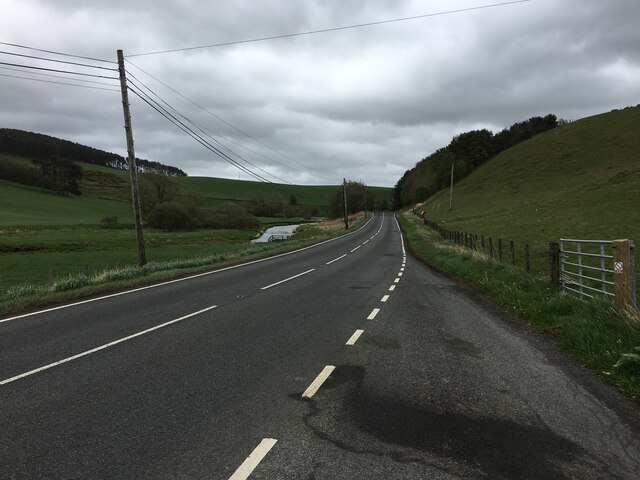
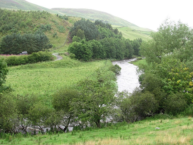
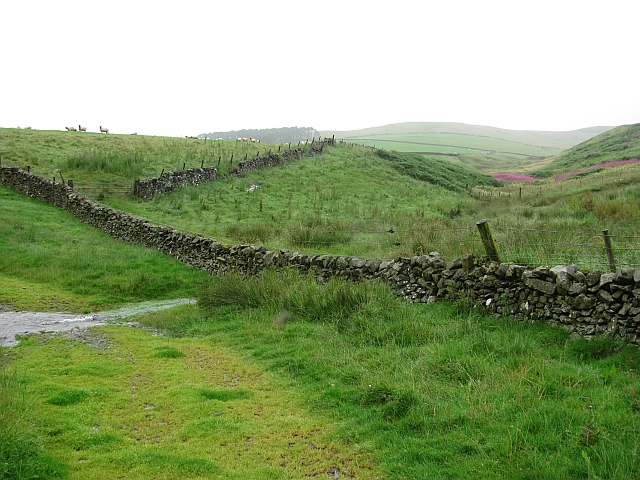
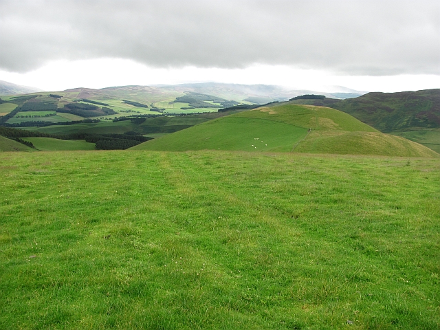
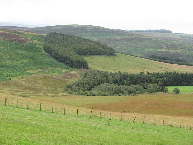
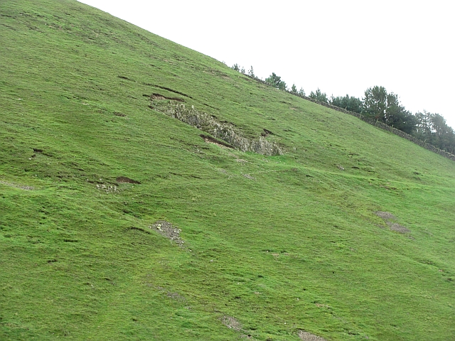
Beggarpath Wood is a stunning forest located in Peeblesshire, a historic county in the Scottish Borders region of Scotland. This enchanting woodland is nestled amidst the picturesque Tweed Valley, just a short distance from the town of Peebles.
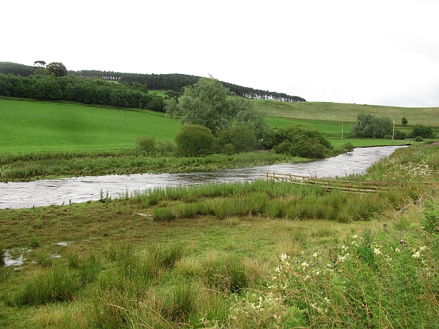
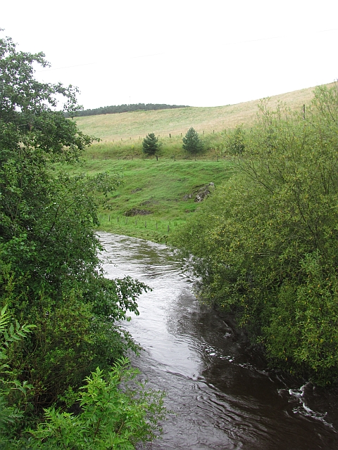
Spanning an area of approximately 200 acres, Beggarpath Wood is renowned for its natural beauty and diverse range of flora and fauna. The forest is predominantly composed of native broadleaf trees, including oak, ash, birch, and hazel, which create a vibrant and lush canopy.
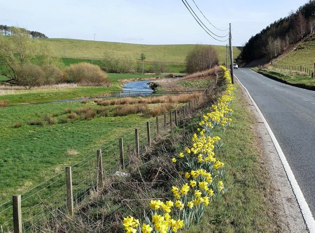
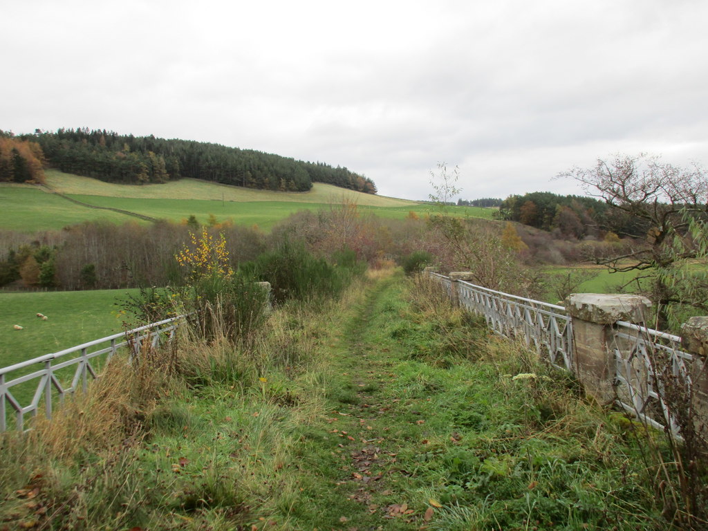
The wood is intersected by a network of well-maintained walking trails, allowing visitors to explore its hidden gems at their own pace. These paths wind through the forest, offering breathtaking views of the surrounding countryside and the tranquil sound of birdsong. The forest floor is adorned with a rich carpet of wildflowers, adding a splash of color to the landscape.
Beggarpath Wood is also home to a variety of wildlife, making it a haven for nature enthusiasts. Visitors may be lucky enough to spot red squirrels, roe deer, or even the elusive pine marten. The forest is also a paradise for birdwatchers, with species such as woodpeckers, owls, and warblers frequenting the area.
Whether you are seeking solitude in nature or simply looking to reconnect with the great outdoors, Beggarpath Wood offers a peaceful and immersive experience. With its idyllic setting and abundance of natural wonders, this woodland is truly a gem in the heart of Peeblesshire.
If you have any feedback on the listing, please let us know in the comments section below.
Beggarpath Wood Images
Images are sourced within 2km of 55.652205/-3.2743763 or Grid Reference NT1940. Thanks to Geograph Open Source API. All images are credited.
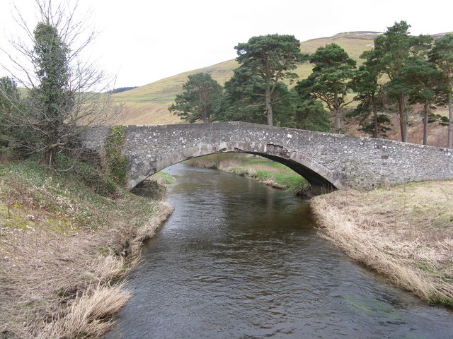
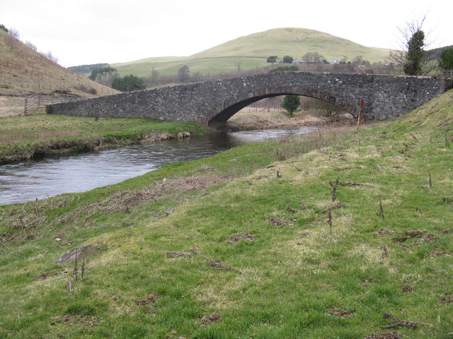
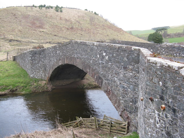
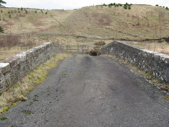
![Twin bridges over the Lyne Water Five Mile Bridge[s]. The new one, carrying the A72 Peebles-Blyth Bridge road, was built in 1988. The older and original bridge, now B-listed, dates from about 1775. The hill behind is Torbank Hill.](https://s1.geograph.org.uk/geophotos/02/31/69/2316993_3751a1b8.jpg)
Beggarpath Wood is located at Grid Ref: NT1940 (Lat: 55.652205, Lng: -3.2743763)
Unitary Authority: The Scottish Borders
Police Authority: The Lothians and Scottish Borders
What 3 Words
///doghouse.snow.pins. Near Peebles, Scottish Borders
Nearby Locations
Related Wikis

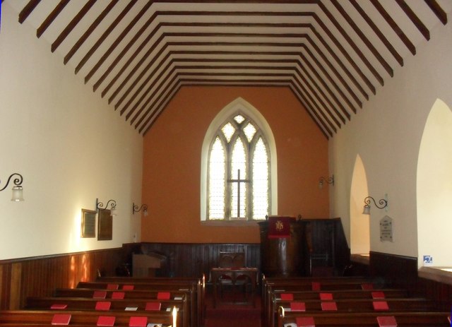
Lyne Kirk
Lyne Kirk is an ancient and historic kirk or church, of the Church of Scotland. It is situated on top of a mound adjacent to the A72 trunk route 4.5 miles...

Lyne, Scottish Borders
Lyne (Scottish Gaelic: An Lainn) is a small village and civil parish in the Scottish Borders area of Scotland, 4 miles (6.4 km) west of the market town...
Lyne railway station
Lyne railway station served the village of Lyne, Scottish Borders, Scotland from 1864 to 1950 on the Symington, Biggar and Broughton Railway. == History... ==
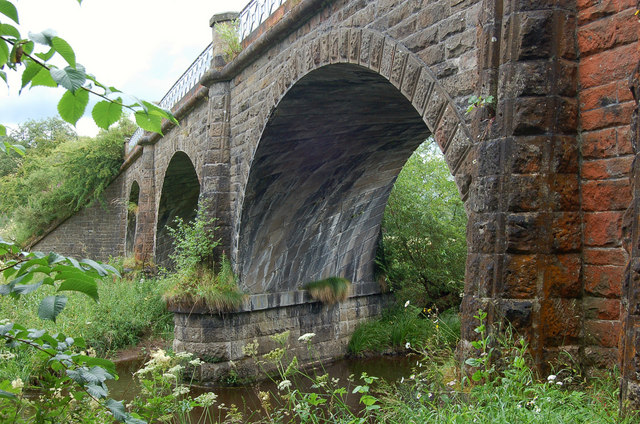
Lyne Viaduct
Lyne Viaduct is a viaduct at Lyne in the Scottish Borders of Scotland. It consists of three stone skew arches and a plate girder approach span over a minor...

Battle of Happrew
The Battle of Happrew was a skirmish which took place around 20 February 1304, during the First War of Scottish Independence. A chevauchée of English knights...
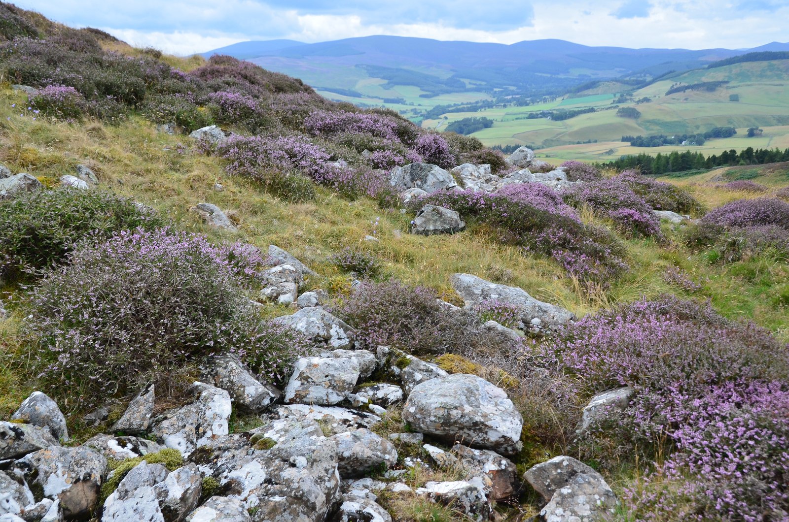
Black Meldon
Black Meldon is a prehistoric site, a hillfort near the village of Lyne and about 4 miles (6 km) west of Peebles, in the Scottish Borders, Scotland. It...

White Meldon
White Meldon is a prehistoric site, a hillfort near the village of Lyne and about 4 miles (6 km) west of Peebles, in the Scottish Borders, Scotland. It...

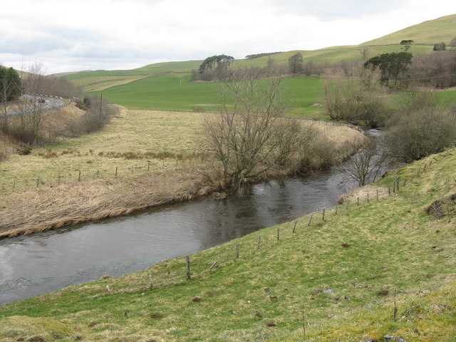
Manor Water
Manor Water is a river in the parish of Manor, Peeblesshire in the Scottish Borders. It rises in the Ettrick Forest and flows down through the Maynor valley...
Nearby Amenities
Located within 500m of 55.652205,-3.2743763Have you been to Beggarpath Wood?
Leave your review of Beggarpath Wood below (or comments, questions and feedback).