Muirpark Plantation

Wood, Forest in Peeblesshire

Scotland

Muirpark Plantation

A72 towards Peebles
A72 towards Peebles Credit: Steven Brown

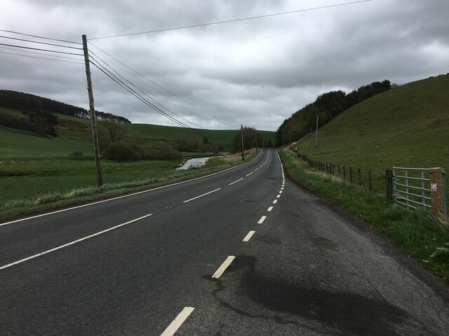
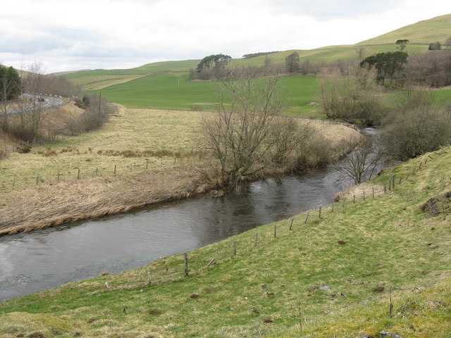
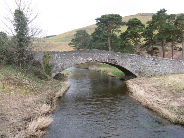
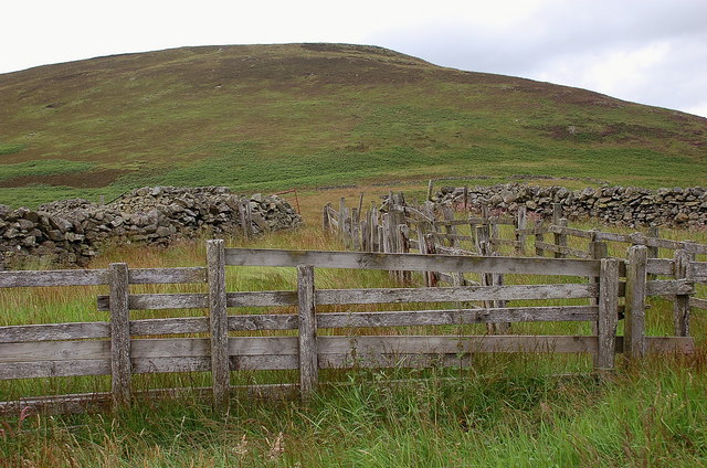
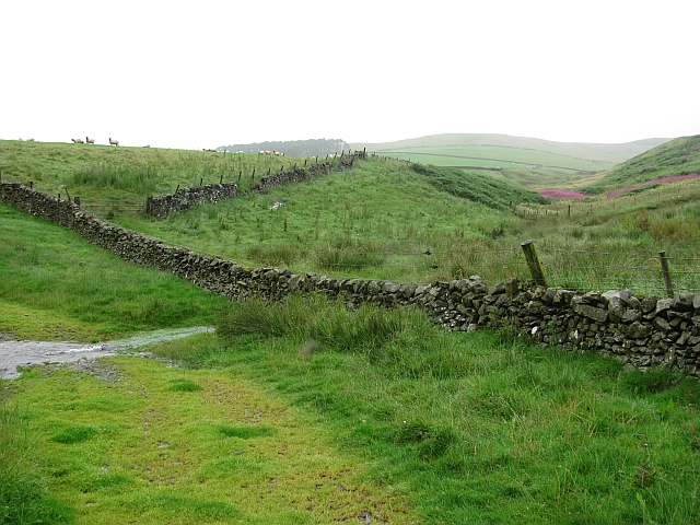
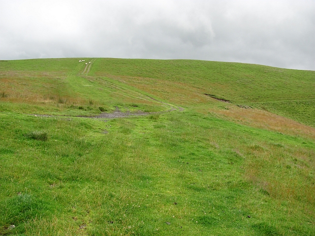
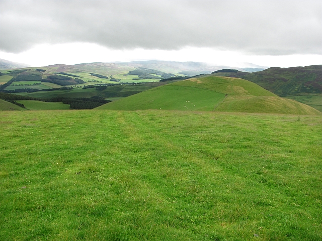
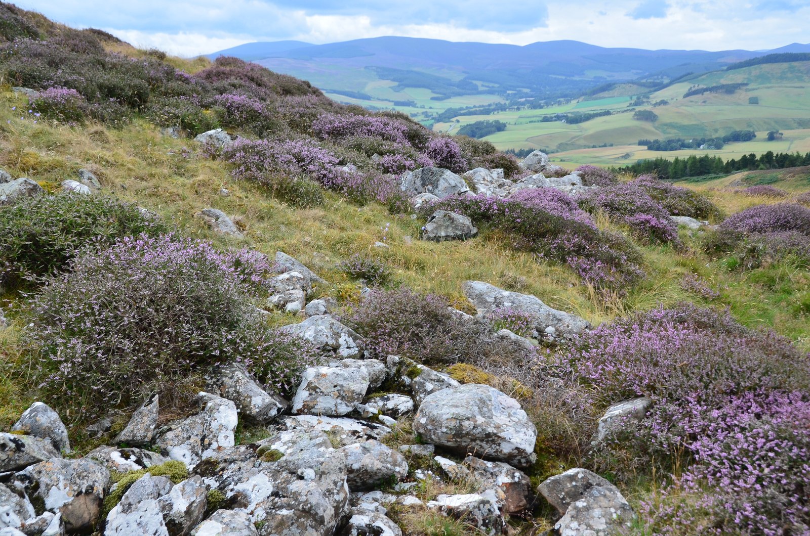
Muirpark Plantation is a picturesque woodland located in Peeblesshire, Scotland. Covering an area of approximately 500 acres, it is a haven of natural beauty and tranquility. The plantation is situated near the town of Peebles, surrounded by rolling hills and breathtaking landscapes.

The woodland consists mainly of native tree species such as oak, birch, and Scots pine, creating a diverse and thriving ecosystem. The dense canopy formed by the tall, mature trees provides shade and shelter for a variety of wildlife species. Visitors to Muirpark Plantation may be lucky enough to spot red squirrels, roe deer, and a vast array of bird species, including woodpeckers and owls.

Several well-maintained trails wind through the woodland, offering visitors the opportunity to explore its enchanting beauty. These paths are suitable for walkers of all abilities and provide access to the plantation's hidden gems, such as a charming waterfall and a small loch.

Muirpark Plantation also holds historical significance, with remnants of an Iron Age fort visible within its boundaries. This archaeological site adds an element of intrigue and fascination to the woodland, allowing visitors to step back in time and imagine the lives of those who once inhabited the area.

Overall, Muirpark Plantation in Peeblesshire is a remarkable testament to the natural wonders of Scotland. Its lush woodlands, diverse wildlife, and captivating history make it a must-visit destination for nature enthusiasts and history buffs alike.

If you have any feedback on the listing, please let us know in the comments section below.

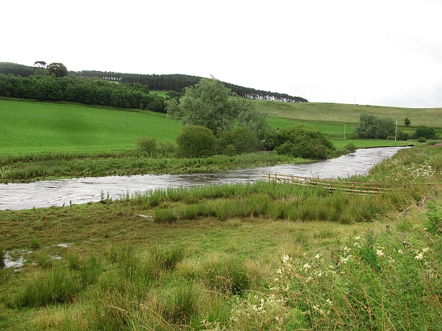
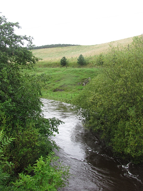
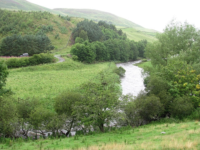
Muirpark Plantation Images

Images are sourced within 2km of 55.662629/-3.2743018 or Grid Reference NT1941. Thanks to Geograph Open Source API. All images are credited.
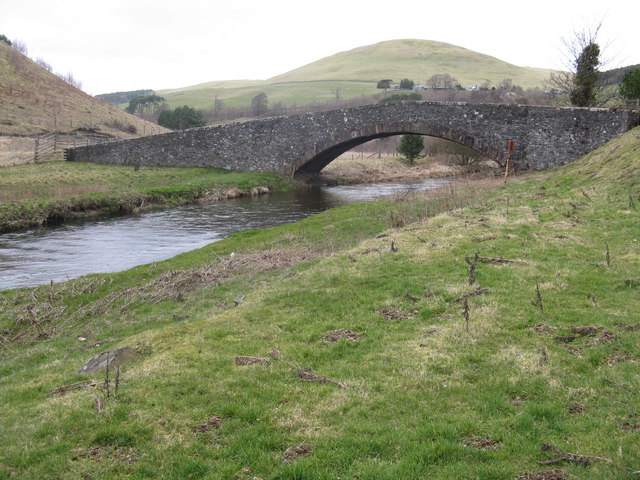
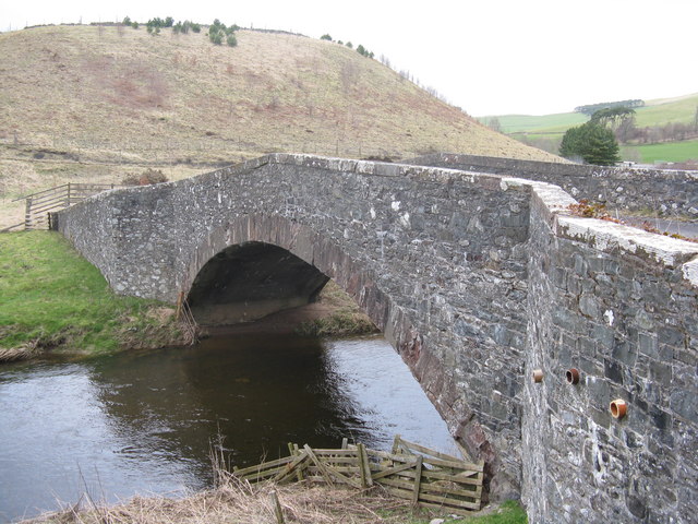
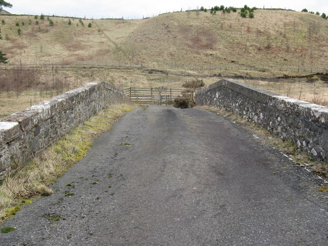
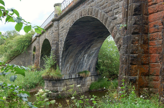
A72 towards Peebles
A72 towards Peebles
A symbolic gravestone at Lyne Kirkyard The skull and crossed femur bones are symbols of mortality on this 18th century stone. The inscription on the reverse side reads:

HERE LYETH
THE BODY OF
ADAM BRYDEN
TENANT IN FLIMIN
G TOWN MILL WHO
DYED APPRIL THE 5TH 1737
HIS AGE 76 AND
JANET SMITH HIS
SPOUSE WHO DYED
MAY 16 1721 AGED 63
A symbolic gravestone at Lyne Kirkyard
The skull and crossed femur bones are symbols of mortality on this 18th century stone. The inscription on the reverse side reads: HERE LYETH THE BODY OF ADAM BRYDEN TENANT IN FLIMIN G TOWN MILL WHO DYED APPRIL THE 5TH 1737 HIS AGE 76 AND JANET SMITH HIS SPOUSE WHO DYED MAY 16 1721 AGED 63
The Lyne Water from Hamildean Looking upstream towards Romannobridge, with the A72 on the left.
The Lyne Water from Hamildean
Looking upstream towards Romannobridge, with the A72 on the left.
Twin bridges over the Lyne Water Five Mile Bridge[s]. The new one, carrying the A72 Peebles-Blyth Bridge road, was built in 1988. The older and original bridge, now B-listed, dates from about 1775. The hill behind is Torbank Hill.
Twin bridges over the Lyne Water
Five Mile Bridge[s]. The new one, carrying the A72 Peebles-Blyth Bridge road, was built in 1988. The older and original bridge, now B-listed, dates from about 1775. The hill behind is Torbank Hill.
Five Mile Bridge at Hallyne Looking downstream at the bridge over the Lyne Water, a B-listed structure dating from about 1775.
Five Mile Bridge at Hallyne
Looking downstream at the bridge over the Lyne Water, a B-listed structure dating from about 1775.
Five Mile Bridge at Hamildean Looking upstream at the bridge over the Lyne Water, a B-listed structure dating from about 1775. Hamildean farm and Hamildean Hill can be seen above the bridge.
Five Mile Bridge at Hamildean
Looking upstream at the bridge over the Lyne Water, a B-listed structure dating from about 1775. Hamildean farm and Hamildean Hill can be seen above the bridge.
Five Mile Bridge over the Lyne Water By the A72 at Hamildean, a fine B-listed bridge built ca 1775.
Five Mile Bridge over the Lyne Water
By the A72 at Hamildean, a fine B-listed bridge built ca 1775.
Five Mile Bridge over the Lyne Water Five miles from Peebles, and once carrying the A72 main road west from Peebles, until it was replaced by a newer bridge in 1988 <a href="https://www.geograph.org.uk/photo/1347724">NT1840 : Five Mile Bridge</a>. A B-listed structure, the right-hand side coping appears to have undergone some reconstruction, when compared to that on the left. No doubt it was vulnerable to traffic strike when it carried a main road.
Five Mile Bridge over the Lyne Water
Five miles from Peebles, and once carrying the A72 main road west from Peebles, until it was replaced by a newer bridge in 1988 NT1840 : Five Mile Bridge. A B-listed structure, the right-hand side coping appears to have undergone some reconstruction, when compared to that on the left. No doubt it was vulnerable to traffic strike when it carried a main road.
Lyne Kirk In Peeblesshire Looking towards the east.
Lyne Kirk In Peeblesshire
Looking towards the east.
Hillside with sheep On the ridge above Haggin Hope, with mixed grass and boggy land.
Hillside with sheep
On the ridge above Haggin Hope, with mixed grass and boggy land.
Old sheepfold below Black Meldon Wooden fencing within a larger area enclosed by a partly ruined stone wall.
Old sheepfold below Black Meldon
Wooden fencing within a larger area enclosed by a partly ruined stone wall.
Lyne Water In spate but falling after a period of heavy rain.
Lyne Water
In spate but falling after a period of heavy rain.
Lyne Water Looking upstream from Five Mile Bridge. The river is in spate after two days of continuous heavy rain.
Lyne Water
Looking upstream from Five Mile Bridge. The river is in spate after two days of continuous heavy rain.
Lyne Water View upstream with the river in spate.
Lyne Water
View upstream with the river in spate.
You have to watch these electric fences There is an electric fence across this gate, keeping the cattle in check, but the dire warnings are a legacy from the gateposts previous career as a pole supporting power lines (probably 11kV).
You have to watch these electric fences
There is an electric fence across this gate, keeping the cattle in check, but the dire warnings are a legacy from the gateposts previous career as a pole supporting power lines (probably 11kV).
Scrog Dean Not much in the way of woodland here now, but with the programme of improving the headwaters of the Tweed in progress, trees may appear here in the future.
Scrog Dean
Not much in the way of woodland here now, but with the programme of improving the headwaters of the Tweed in progress, trees may appear here in the future.
Tracks, Hamildean Hill Farm tracks above Haggin Hope. The grassland has been improved by fertilising, and there are piles of manure on the hilltops ready for spreading.
Tracks, Hamildean Hill
Farm tracks above Haggin Hope. The grassland has been improved by fertilising, and there are piles of manure on the hilltops ready for spreading.
Hamildean Hill There is a fort marked as unfinished on Hamildean Hill.
Hamildean Hill
There is a fort marked as unfinished on Hamildean Hill.
Show me another place!

Muirpark Plantation is located at Grid Ref: NT1941 (Lat: 55.662629, Lng: -3.2743018)

Unitary Authority: The Scottish Borders

Police Authority: The Lothians and Scottish Borders

What 3 Words

///crimson.waddle.shelving. Near Peebles, Scottish Borders

Related Wikis

Black Meldon

Black Meldon is a prehistoric site, a hillfort near the village of Lyne and about 4 miles (6 km) west of Peebles, in the Scottish Borders, Scotland. It...

Lyne Kirk

Lyne Kirk is an ancient and historic kirk or church, of the Church of Scotland. It is situated on top of a mound adjacent to the A72 trunk route 4.5 miles...

Battle of Happrew

The Battle of Happrew was a skirmish which took place around 20 February 1304, during the First War of Scottish Independence. A chevauchée of English knights...

Lyne, Scottish Borders

Lyne (Scottish Gaelic: An Lainn) is a small village and civil parish in the Scottish Borders area of Scotland, 4 miles (6.4 km) west of the market town...

Lyne railway station

Lyne railway station served the village of Lyne, Scottish Borders, Scotland from 1864 to 1950 on the Symington, Biggar and Broughton Railway. == History... ==

Lyne Viaduct

Lyne Viaduct is a viaduct at Lyne in the Scottish Borders of Scotland. It consists of three stone skew arches and a plate girder approach span over a minor...

White Meldon

White Meldon is a prehistoric site, a hillfort near the village of Lyne and about 4 miles (6 km) west of Peebles, in the Scottish Borders, Scotland. It...

Tarth Water

The Tarth Water is a river in Peebleshire, in the Scottish Borders. It forms part of the River Tweed system. The river with a total length of 7.1 miles...

Nearby Amenities

Located within 500m of 55.662629,-3.2743018
The data included in this document is from www.openstreetmap.org. The data is made available under ODbL.

Have you been to Muirpark Plantation?

Leave your review of Muirpark Plantation below (or comments, questions and feedback).