Main Plantation
Wood, Forest in Perthshire
Scotland
Main Plantation

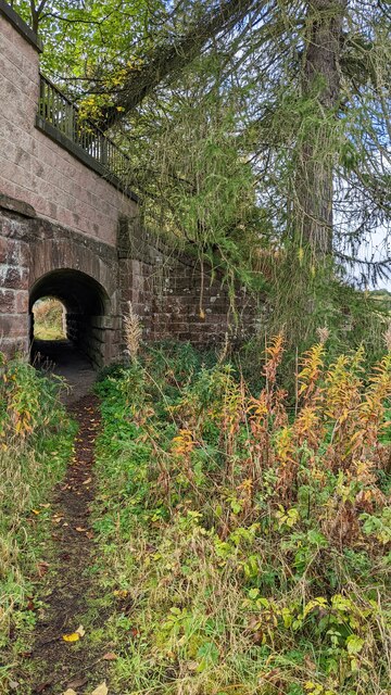
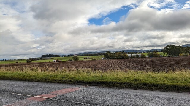
Main Plantation, located in Perthshire, Scotland, is a picturesque woodland area known for its stunning natural beauty and diverse range of flora and fauna. Covering a vast area of land, Main Plantation is a popular destination for nature enthusiasts and outdoor lovers.
The woodland is primarily made up of native broadleaf trees such as oak, birch, and beech, creating a dense and vibrant forest. These trees provide a rich habitat for various wildlife species, including deer, squirrels, and a wide variety of bird species. Visitors to Main Plantation often enjoy birdwatching, as the area is home to several rare and protected bird species.
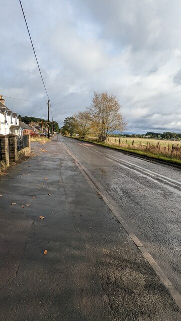
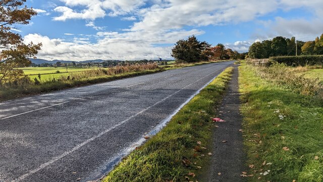
The plantation offers a network of well-maintained walking trails, allowing visitors to explore the woodland at their own pace. These trails are suitable for all ages and abilities, making Main Plantation an accessible destination for families and individuals alike. Along the trails, visitors can enjoy the tranquil atmosphere, breathe in the fresh air, and immerse themselves in the natural surroundings.
Main Plantation also features a small visitor center that provides information about the woodland's history, ecology, and conservation efforts. The center offers educational displays and interactive exhibits, giving visitors a deeper understanding of the local ecosystem and the importance of preserving it.
Whether it's for a leisurely walk, wildlife spotting, or simply enjoying the serenity of nature, Main Plantation offers a delightful escape from the hustle and bustle of everyday life. Its stunning beauty and rich biodiversity make it a must-visit destination for anyone seeking a peaceful and immersive woodland experience in Perthshire.
If you have any feedback on the listing, please let us know in the comments section below.
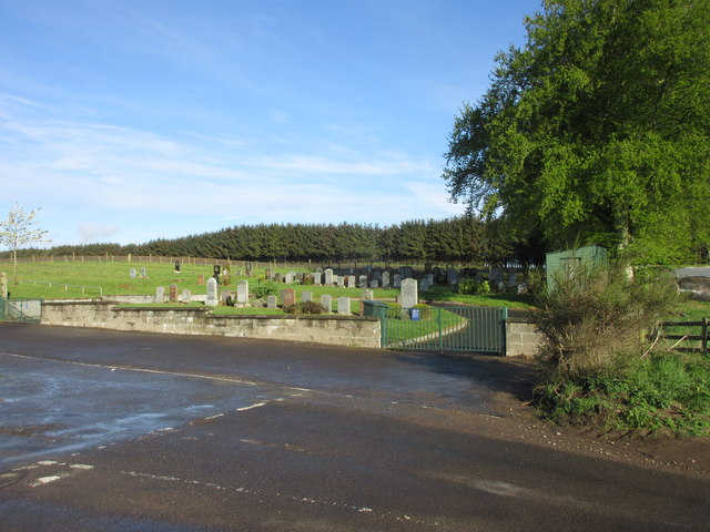
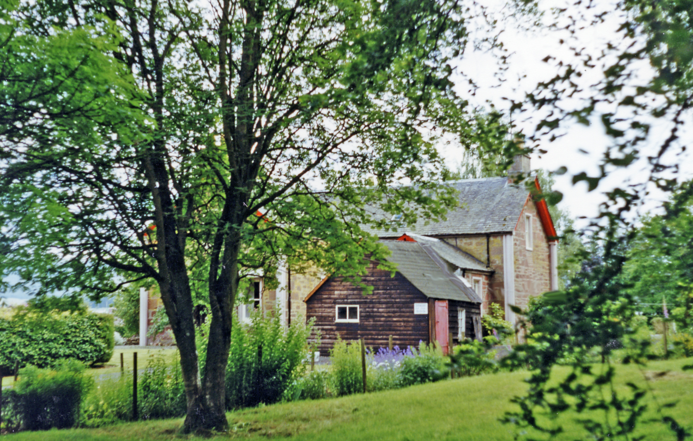
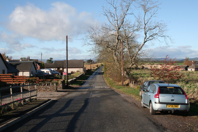
Main Plantation Images
Images are sourced within 2km of 56.538363/-3.3044483 or Grid Reference NO1939. Thanks to Geograph Open Source API. All images are credited.


Main Plantation is located at Grid Ref: NO1939 (Lat: 56.538363, Lng: -3.3044483)
Unitary Authority: Perth and Kinross
Police Authority: Tayside
What 3 Words
///moved.ranked.butchers. Near Coupar Angus, Perth & Kinross
Nearby Locations
Related Wikis
Woodside and Burrelton railway station
Woodside and Burrelton railway station was located in Burrelton in the Scottish county of Perth and Kinross. The station was opened by the Caledonian Railway...
Woodside, Perth and Kinross
Woodside (Scottish Gaelic: Both Bhùirnich) is a small village in Scotland, 12 miles (19 kilometres) from Perth, in the Perth and Kinross council area....

Burrelton
Burrelton is a small village in Scotland about 12 miles (19 kilometres) outside Perth. It is joined onto another smaller village, Woodside. The population...

Campmuir
Campmuir () is a small village in the Perth and Kinross area of Scotland.Campmuir is located less than 1 mile (2 kilometres) south of the main A94 road...
Nearby Amenities
Located within 500m of 56.538363,-3.3044483Have you been to Main Plantation?
Leave your review of Main Plantation below (or comments, questions and feedback).