Bankend Plantation
Wood, Forest in Peeblesshire
Scotland
Bankend Plantation
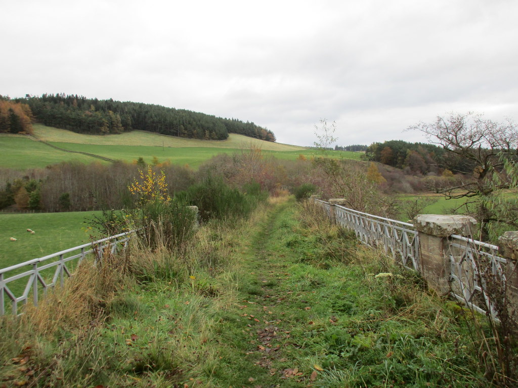
Bankend Plantation is a picturesque woodland located in Peeblesshire, Scotland. Covering an area of approximately 500 acres, it is a well-known destination for nature enthusiasts and outdoor adventurers alike. The plantation is situated just a few miles southeast of the town of Peebles and is easily accessible by car or on foot.
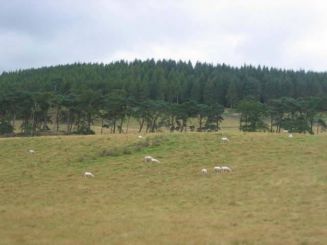
The woodland is predominantly composed of native Scottish tree species, including Scots pine, birch, and oak. These trees provide a diverse habitat for a wide range of wildlife, making it a haven for birdwatchers and nature photographers. Visitors may catch a glimpse of species such as red squirrels, roe deer, and various woodland birds.
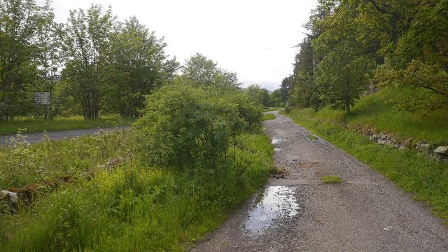
Bankend Plantation offers a network of well-maintained trails that wind their way through the woodland, providing visitors with ample opportunities for walking, hiking, and cycling. The trails cater to all abilities, with options for both leisurely strolls and more challenging treks. The paths are clearly marked and offer breathtaking views of the surrounding countryside, making it an ideal location for outdoor enthusiasts seeking to immerse themselves in the natural beauty of Peeblesshire.
In addition to its natural charm, Bankend Plantation also boasts a rich cultural history. The area was once used for timber production, and remnants of old sawmills and charcoal pits can still be found within the woodland. These historical features provide a glimpse into the area's past and add to the overall charm and character of the plantation.
Overall, Bankend Plantation offers a tranquil and scenic escape for those seeking to explore the natural wonders of Peeblesshire. Its diverse wildlife, well-maintained trails, and historical significance make it a must-visit destination for nature lovers and history enthusiasts alike.
If you have any feedback on the listing, please let us know in the comments section below.
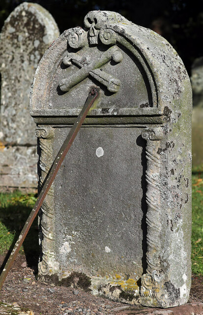
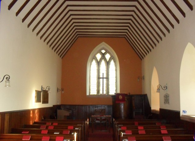
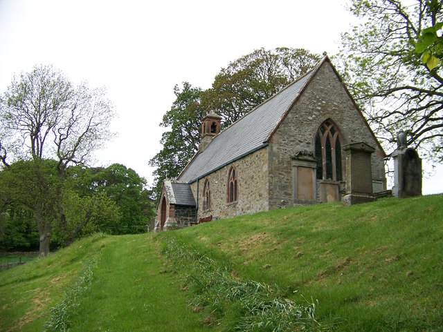
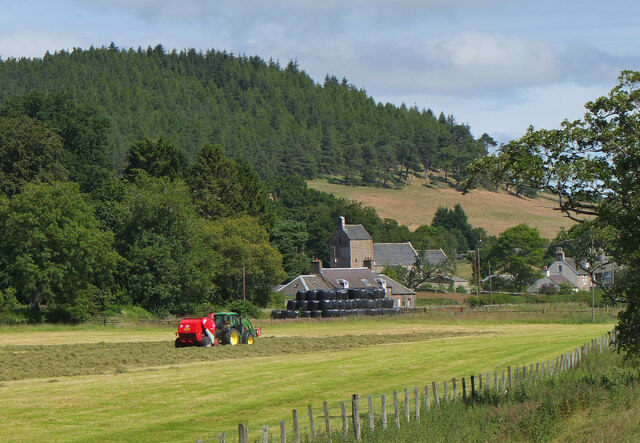
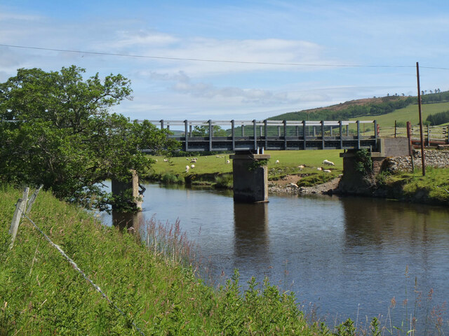
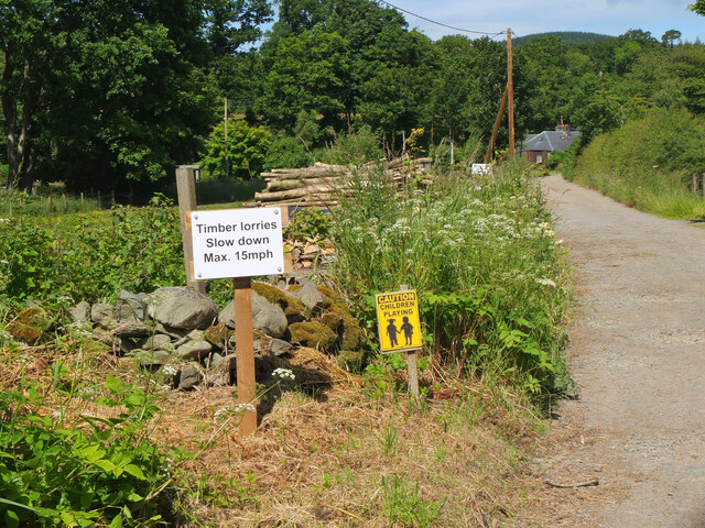
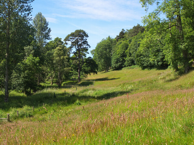
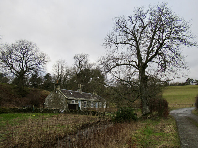
Bankend Plantation Images
Images are sourced within 2km of 55.634479/-3.277502 or Grid Reference NT1938. Thanks to Geograph Open Source API. All images are credited.


Bankend Plantation is located at Grid Ref: NT1938 (Lat: 55.634479, Lng: -3.277502)
Unitary Authority: The Scottish Borders
Police Authority: The Lothians and Scottish Borders
What 3 Words
///pegged.congas.plankton. Near Peebles, Scottish Borders
Nearby Locations
Related Wikis

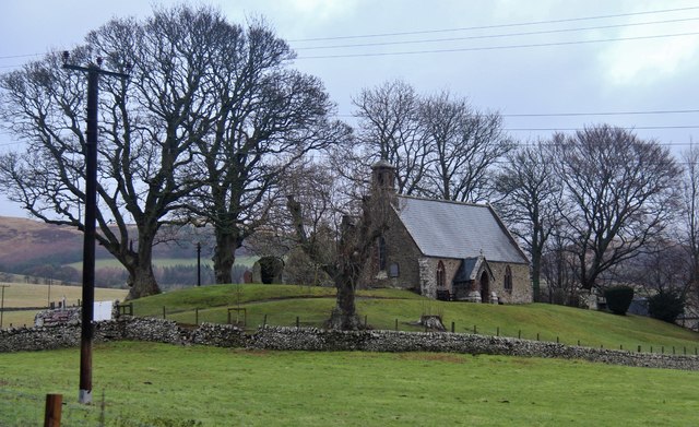
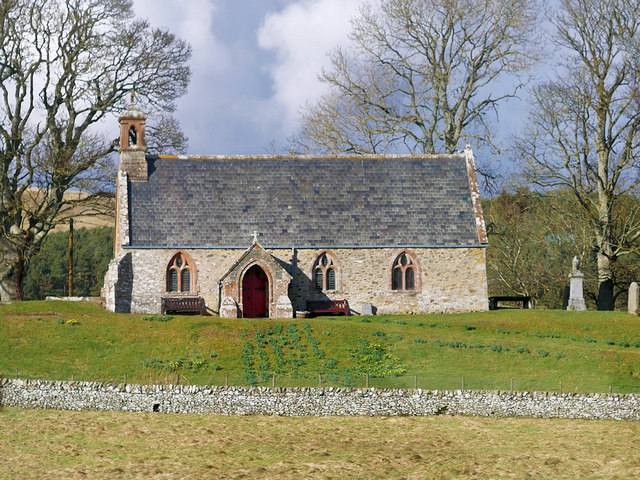
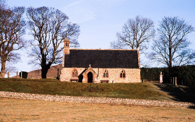
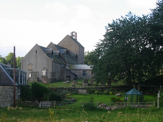
Stobo Kirk
Stobo Kirk is an ancient church of the Church of Scotland. It is dedicated to St Mungo and is situated near the B712 off the A72 just 6 miles south-west...
Lyne railway station
Lyne railway station served the village of Lyne, Scottish Borders, Scotland from 1864 to 1950 on the Symington, Biggar and Broughton Railway. == History... ==
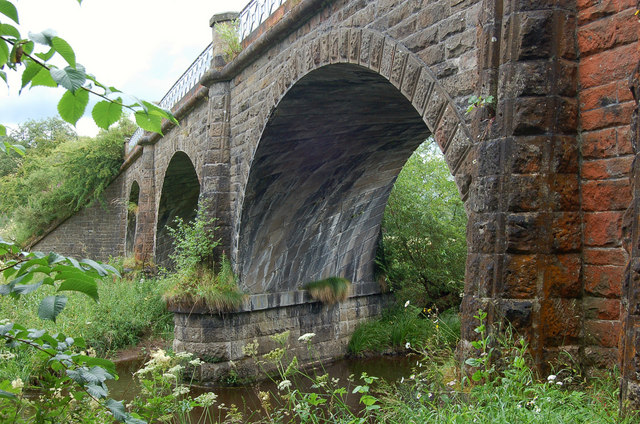
Lyne Viaduct
Lyne Viaduct is a viaduct at Lyne in the Scottish Borders of Scotland. It consists of three stone skew arches and a plate girder approach span over a minor...

Lyne, Scottish Borders
Lyne (Scottish Gaelic: An Lainn) is a small village and civil parish in the Scottish Borders area of Scotland, 4 miles (6.4 km) west of the market town...
Nearby Amenities
Located within 500m of 55.634479,-3.277502Have you been to Bankend Plantation?
Leave your review of Bankend Plantation below (or comments, questions and feedback).