Black Wood
Wood, Forest in Dumfriesshire
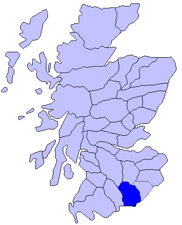
Scotland
Black Wood

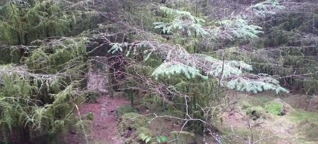
Black Wood is a picturesque forest located in Dumfriesshire, Scotland. Spanning a vast area, it is known for its dense and ancient woodland, making it a popular destination for nature enthusiasts and hikers alike.
The forest is primarily composed of native broadleaf trees such as oak, birch, and beech, which provide a diverse and vibrant habitat for a variety of wildlife. Visitors to Black Wood may catch glimpses of red squirrels, roe deer, and a plethora of bird species, including woodpeckers and owls.
Tranquil walking trails wind their way through the forest, allowing visitors to explore its beauty at their own pace. These paths range from easy strolls to more challenging hikes, catering to individuals of all fitness levels. Along the way, informative signboards provide details about the local flora and fauna, enhancing the educational experience.
Black Wood is particularly renowned for its beautiful display of bluebells during the spring season. The forest floor is transformed into a sea of vibrant blue, creating a breathtaking sight that attracts photographers and nature lovers from far and wide.
In addition to its natural beauty, Black Wood also holds historical significance. The remains of an ancient hillfort, believed to date back to the Iron Age, can be found within the forest. This archaeological site adds an extra layer of intrigue and intrigue to the experience.
Overall, Black Wood offers a peaceful and enchanting escape into nature, providing visitors with a chance to immerse themselves in the beauty and tranquility of the Scottish countryside.
If you have any feedback on the listing, please let us know in the comments section below.
Black Wood Images
Images are sourced within 2km of 55.032057/-3.2583076 or Grid Reference NY1971. Thanks to Geograph Open Source API. All images are credited.


Black Wood is located at Grid Ref: NY1971 (Lat: 55.032057, Lng: -3.2583076)
Unitary Authority: Dumfries and Galloway
Police Authority: Dumfries and Galloway
What 3 Words
///kindness.twinkling.sentences. Near Annan, Dumfries & Galloway
Nearby Locations
Related Wikis

Brydekirk
Brydekirk (Scottish Gaelic: Eaglais Bhride) is a village in Annandale in Dumfries and Galloway, Scotland located approximately 4 km north of Annan. The...
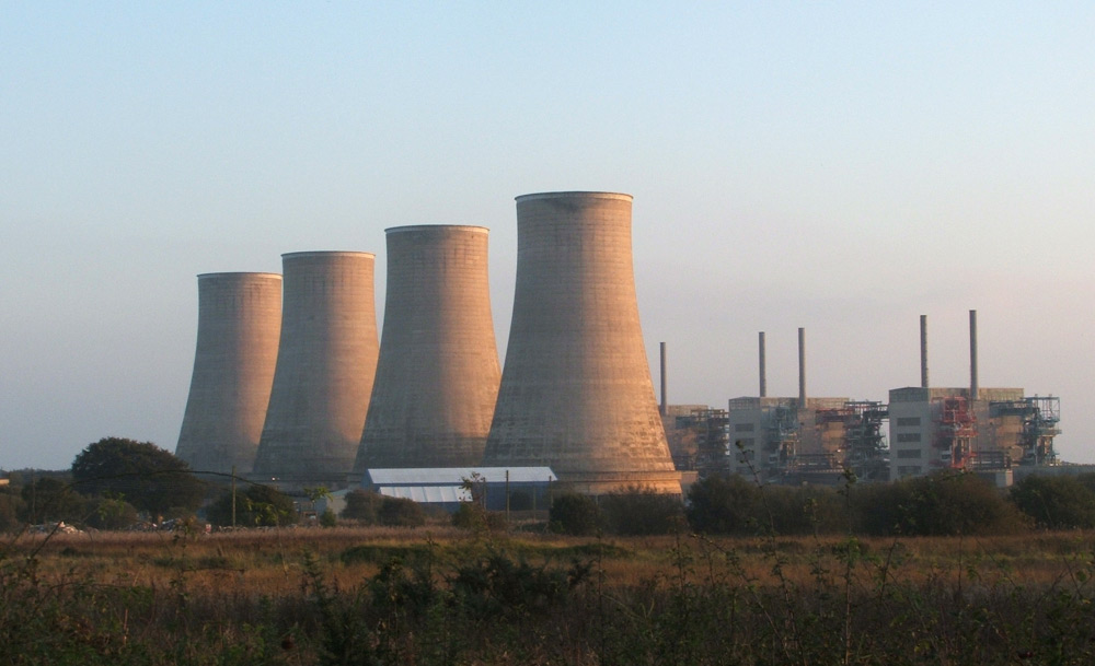
Chapelcross nuclear power station
Chapelcross nuclear power station is a former Magnox nuclear power station undergoing decommissioning. It is located in Annan in Dumfries and Galloway...

Thomas Carlyle's Birthplace
Thomas Carlyle's Birthplace is a house in Ecclefechan, Dumfries and Galloway, Scotland, UK, in which Thomas Carlyle, who was to become a pre-eminent man...
Annandale, Dumfries and Galloway
Annandale (Gaelic: Srath Anann) is a strath in Dumfries and Galloway, Scotland, named after the dale of the River Annan. It runs north–south through the...
Nearby Amenities
Located within 500m of 55.032057,-3.2583076Have you been to Black Wood?
Leave your review of Black Wood below (or comments, questions and feedback).