Redford Wood
Wood, Forest in Midlothian
Scotland
Redford Wood
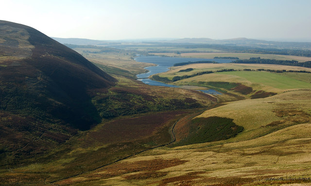
Redford Wood is a picturesque forest located in Midlothian, Scotland. Situated just a few miles outside the bustling city of Edinburgh, this woodland area is a popular destination for nature lovers and outdoor enthusiasts.
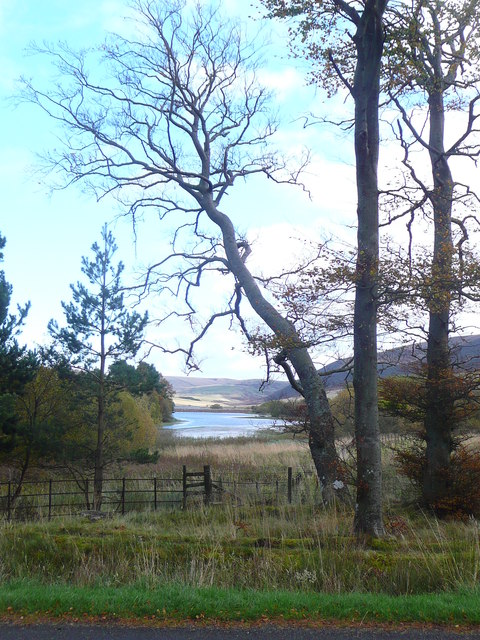
Covering an area of approximately 150 acres, Redford Wood is home to a diverse range of flora and fauna. The forest is mainly composed of native species such as oak, birch, and pine trees, providing a tranquil and serene atmosphere for visitors to enjoy. The woodland floor is adorned with a carpet of bluebells during the spring season, creating a visually stunning display.
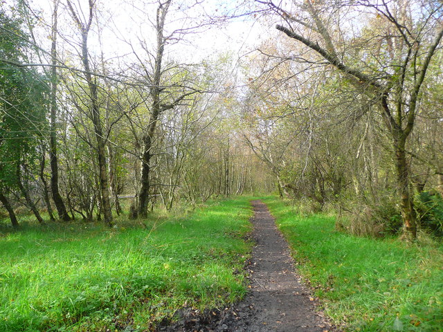
The forest is crisscrossed by a network of well-maintained walking trails, making it an ideal location for hikers and walkers of all abilities. These trails offer visitors the opportunity to explore the woodland at their own pace, with options for short, leisurely strolls or longer, more challenging hikes.
Redford Wood is also home to a variety of wildlife, including deer, foxes, and a wide range of bird species. Birdwatchers can spot woodpeckers, owls, and even the elusive red kite soaring through the treetops.
Facilities within the forest include designated picnic areas, allowing visitors to relax and enjoy a meal surrounded by nature. There are also information boards dotted throughout the woodland, providing interesting facts about the local wildlife and history of the area.
Overall, Redford Wood is a hidden gem in Midlothian, offering a peaceful escape from the urban environment and a chance to connect with nature.
If you have any feedback on the listing, please let us know in the comments section below.
Redford Wood Images
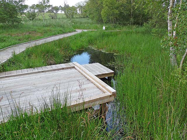
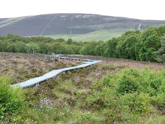
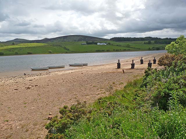
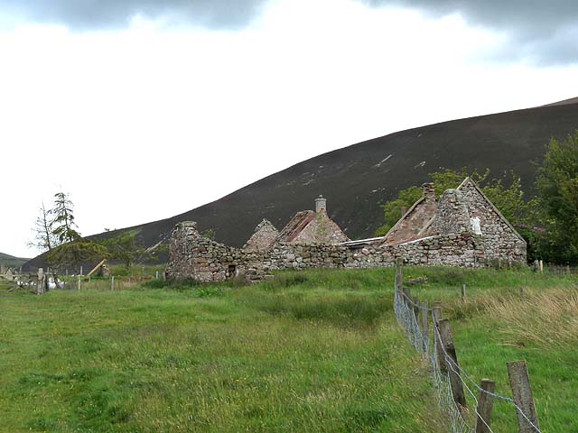
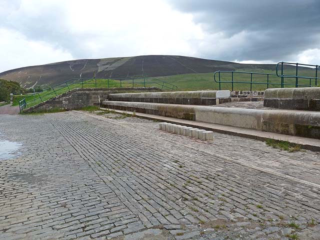
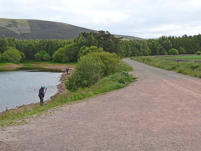
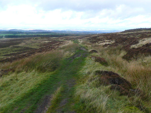
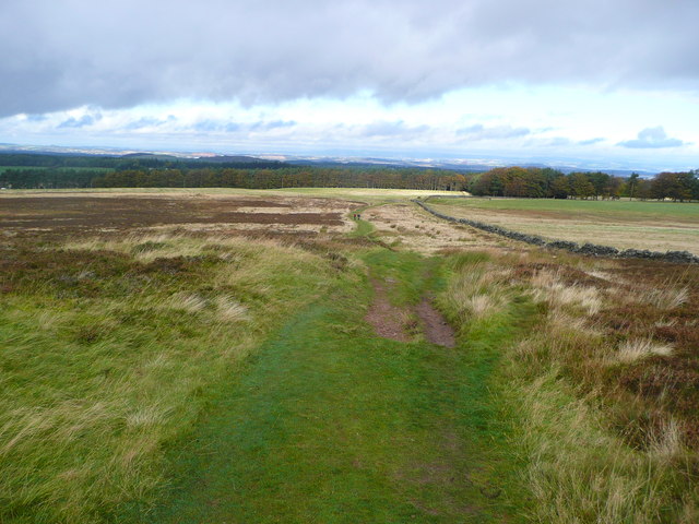
Images are sourced within 2km of 55.860079/-3.3341554 or Grid Reference NT1663. Thanks to Geograph Open Source API. All images are credited.


Redford Wood is located at Grid Ref: NT1663 (Lat: 55.860079, Lng: -3.3341554)
Unitary Authority: City of Edinburgh
Police Authority: Edinburgh
What 3 Words
///skippers.porch.trump. Near Balerno, Edinburgh
Nearby Locations
Related Wikis

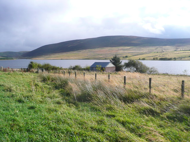
Threipmuir Reservoir
Threipmuir Reservoir is a reservoir in the City of Edinburgh Council area, Scotland, UK. It is situated to the south of Edinburgh at the base of the Pentland...

Bavelaw Castle
Bavelaw Castle is a historic house in the City of Edinburgh Council area, Scotland. It is north of Hare Hill in the Pentland Hills, four miles west of...

Harlaw Reservoir
Harlaw Reservoir is a small reservoir in the City of Edinburgh Council area, Scotland, UK, situated at the base of the Pentland Hills near Currie and Balerno...

Malleny House and Garden
The Malleny House and Garden is an historic house and garden owned by the National Trust for Scotland in Balerno, 6 mi (9.7 km) southwest of Edinburgh...
Nearby Amenities
Located within 500m of 55.860079,-3.3341554Have you been to Redford Wood?
Leave your review of Redford Wood below (or comments, questions and feedback).