The Common
Downs, Moorland in Midlothian
Scotland
The Common
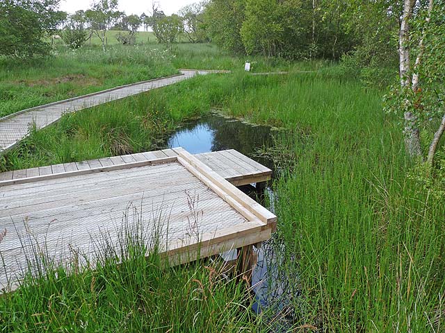
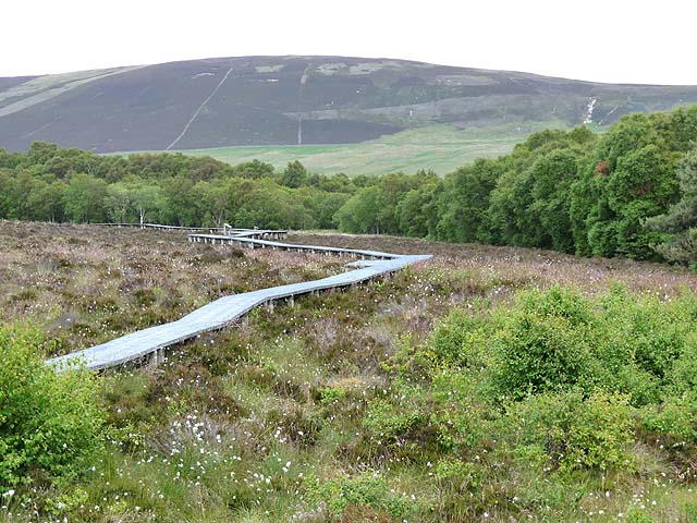
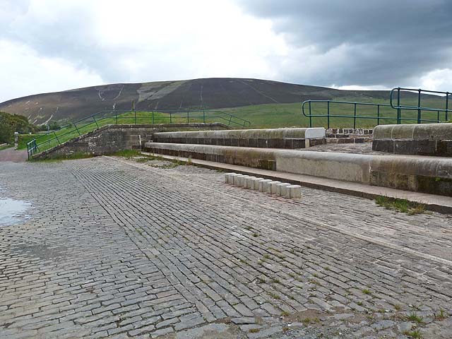
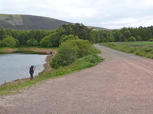
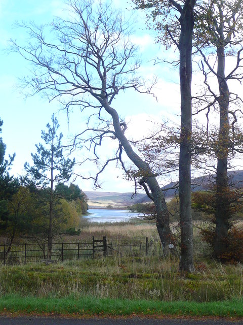
The Common, located in Midlothian, is a vast expanse of land that encompasses both downs and moorland. Stretching across an area of considerable size, it offers a diverse range of natural features and habitats. The downs section of The Common is characterized by gently rolling hills, covered in lush grasslands and scattered with patches of low-lying shrubs. This terrain provides an ideal environment for various plant species to thrive, creating a picturesque landscape.
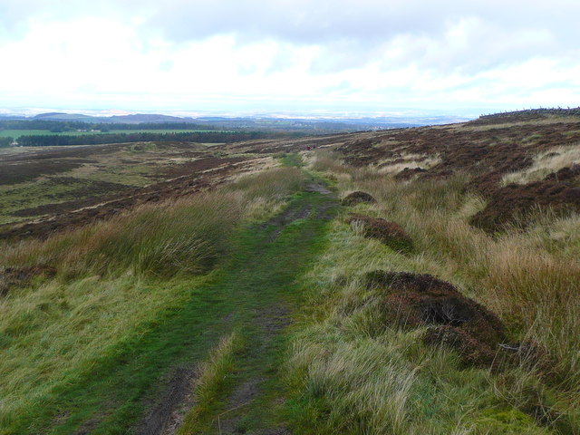
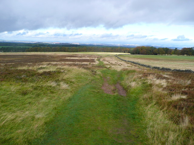
In contrast, the moorland area of The Common showcases a different aspect of the natural world. Here, the terrain becomes more rugged and uneven, with heather dominating the landscape. The moorland is also home to several species of birds, including grouse and curlew, which find shelter amongst the heather and forage for food in the surrounding grassy areas.
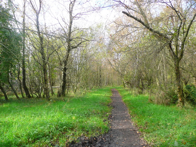
Visitors to The Common can enjoy a multitude of activities. The Downs are perfect for leisurely walks and picnics, offering breathtaking views of the surrounding countryside. The moorland, on the other hand, attracts hikers and nature enthusiasts who relish the opportunity to explore the more rugged terrain and observe the diverse wildlife.
The Common, Midlothian, is not only a haven for nature lovers but also an important ecological site. Its diverse range of habitats supports a variety of plant and animal species, contributing to the overall biodiversity of the region. Whether one seeks tranquility, adventure, or a deeper understanding of the natural world, The Common provides an ideal destination.
If you have any feedback on the listing, please let us know in the comments section below.
The Common Images
Images are sourced within 2km of 55.860667/-3.3378983 or Grid Reference NT1663. Thanks to Geograph Open Source API. All images are credited.
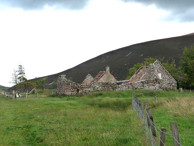

![Threipmuir The old ruin now has a roof and is used by Youth Vision, an outdoor education charity.
Older picture: <a href="https://www.geograph.org.uk/photo/2469014">NT1764 : Threipmuir Farm</a>]](https://s1.geograph.org.uk/geophotos/03/66/47/3664797_8515fdaf.jpg)
The Common is located at Grid Ref: NT1663 (Lat: 55.860667, Lng: -3.3378983)
Unitary Authority: City of Edinburgh
Police Authority: Edinburgh
What 3 Words
///breeze.gentle.lighter. Near Balerno, Edinburgh
Nearby Locations
Related Wikis

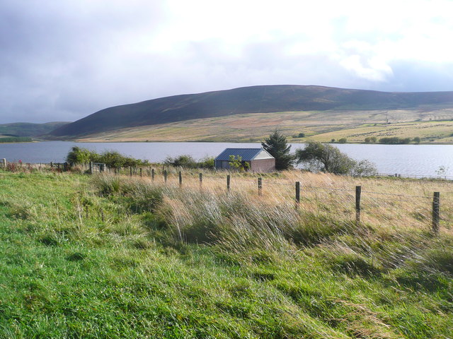
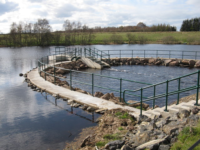
Threipmuir Reservoir
Threipmuir Reservoir is a reservoir in the City of Edinburgh Council area, Scotland, UK. It is situated to the south of Edinburgh at the base of the Pentland...

Bavelaw Castle
Bavelaw Castle is a historic house in the City of Edinburgh Council area, Scotland. It is north of Hare Hill in the Pentland Hills, four miles west of...

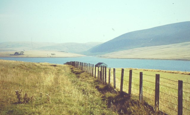
Harlaw Reservoir
Harlaw Reservoir is a small reservoir in the City of Edinburgh Council area, Scotland, UK, situated at the base of the Pentland Hills near Currie and Balerno...

Malleny House and Garden
The Malleny House and Garden is an historic house and garden owned by the National Trust for Scotland in Balerno, 6 mi (9.7 km) southwest of Edinburgh...

Balerno
Balerno (; Scottish Gaelic: Baile Àirneach, Scottish Gaelic pronunciation: [ˈpaləˈaːrˠnəx]; Scots: Balerno or Balernie) is a village on the outskirts of...

Water of Leith Walkway
The Water of Leith Walkway is a public footpath and cycleway that runs alongside the river of the same name through Edinburgh, Scotland, from Balerno to...
Balerno Community High School
Balerno High School is a six-year secondary school located in Balerno, a suburb of Edinburgh, Scotland. The school stands on the banks of the Water of...

Edinburgh South West (UK Parliament constituency)
Edinburgh South West is a Scottish constituency of the House of Commons of the Parliament of the United Kingdom, first used at the 2005 UK general election...
Nearby Amenities
Located within 500m of 55.860667,-3.3378983Have you been to The Common?
Leave your review of The Common below (or comments, questions and feedback).