Whitehill Plantation

Wood, Forest in Dumfriesshire

Scotland

Whitehill Plantation

Bridge over A74(M)
Bridge over A74(M) Credit: Alpin Stewart

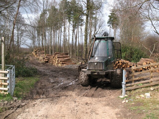
Whitehill Plantation is a picturesque woodland area located in Dumfriesshire, Scotland. Covering an impressive expanse of approximately 500 acres, the plantation is characterized by its dense and flourishing forest, making it a haven for nature enthusiasts and outdoor adventurers alike.

The plantation is home to a variety of native tree species, including oak, beech, and birch, which create a vibrant and diverse ecosystem. The woodland floor is adorned with a rich undergrowth of ferns, wildflowers, and mosses, further enhancing the enchanting atmosphere of the area.

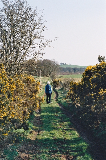
Whitehill Plantation is crisscrossed by a network of walking trails, allowing visitors to explore the natural beauty of the surroundings. These paths wind through the forest, offering stunning views of the towering trees and glimpses of wildlife, such as deer, squirrels, and various bird species.

In addition to its natural splendor, the plantation also boasts several man-made features, including a charming wooden cabin nestled deep within the woods. This rustic retreat provides visitors with a peaceful spot to rest and take in the tranquil surroundings.

Whitehill Plantation is open to the public year-round, providing ample opportunities for outdoor recreation and relaxation. Whether one is seeking a leisurely stroll through nature, a picnic amidst the trees, or a chance to immerse oneself in the serenity of the forest, Whitehill Plantation offers a truly idyllic experience for visitors of all ages.

If you have any feedback on the listing, please let us know in the comments section below.

Whitehill Plantation Images

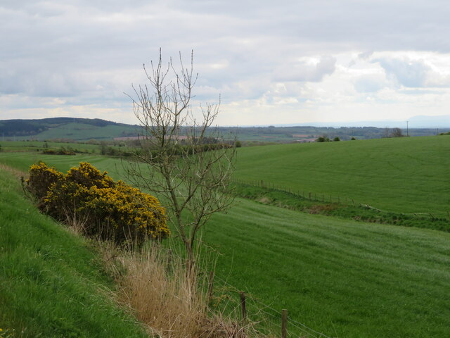
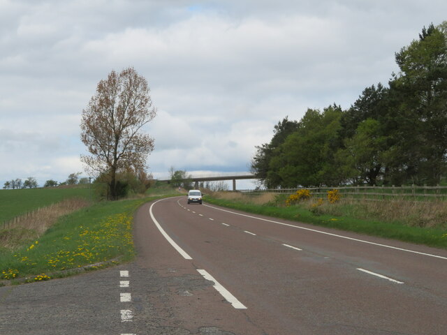
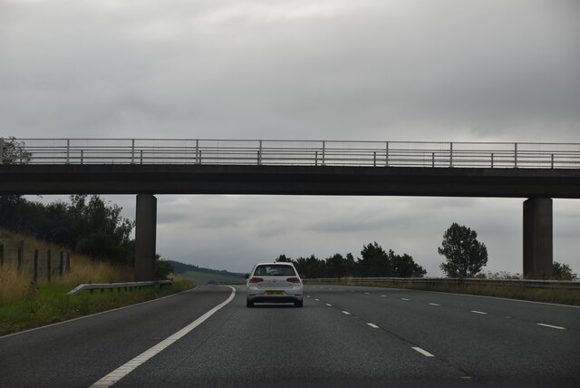
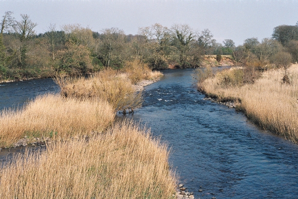
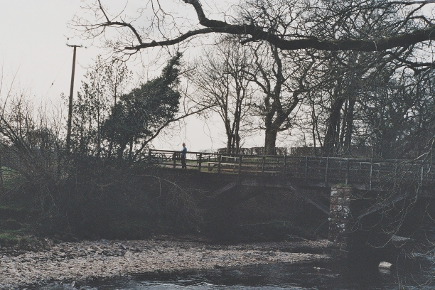
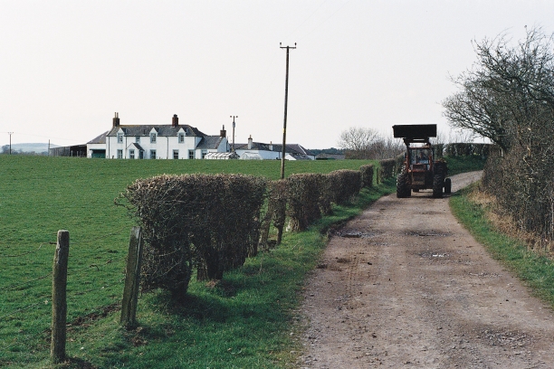
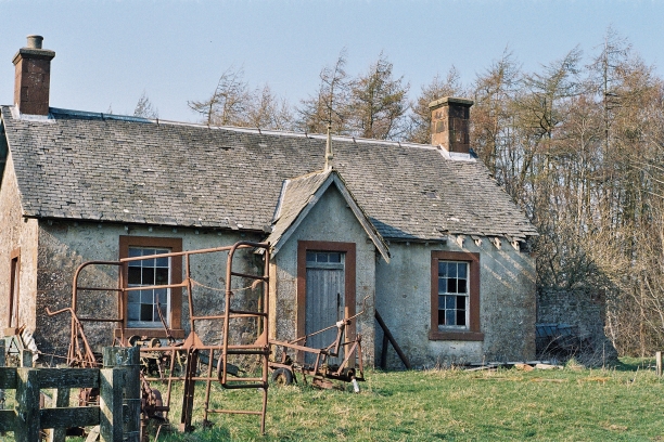
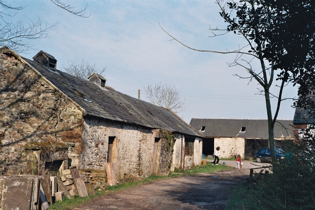
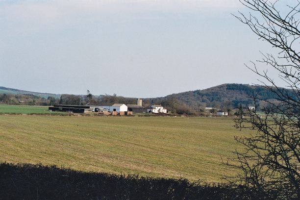
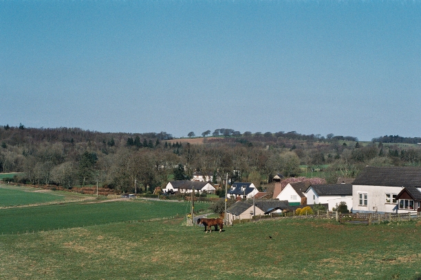
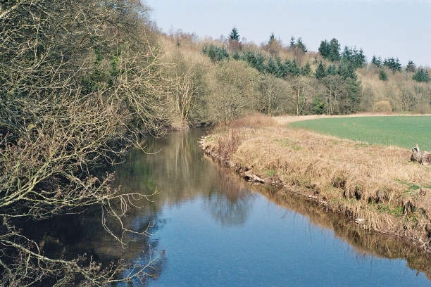
Images are sourced within 2km of 55.063022/-3.3255287 or Grid Reference NY1575. Thanks to Geograph Open Source API. All images are credited.

Bridge over A74(M)
Bridge over A74(M)
Forestry Operations, Square Wood This is the route of The Annandale Way long distance path which splits into the eastern route via Lockerbie and the western route via Lochmaben a few metres beyond the gateway into Square Wood.
Forestry Operations, Square Wood
This is the route of The Annandale Way long distance path which splits into the eastern route via Lockerbie and the western route via Lochmaben a few metres beyond the gateway into Square Wood.
Pathhead near Milkbank Lodge Junction where the minor road from Broom meets the road from Kirkbank to Middleshaw.
This junction is on the route of the Annandale Way long distance path.
Pathhead near Milkbank Lodge
Junction where the minor road from Broom meets the road from Kirkbank to Middleshaw. This junction is on the route of the Annandale Way long distance path.
Mainhill Farm A large dairy farm between Lockerbie and Ecclefechan.
Mainhill Farm
A large dairy farm between Lockerbie and Ecclefechan.
Pasture at Mainhill farm And the road to the farm and a watering cistern.
Pasture at Mainhill farm
And the road to the farm and a watering cistern.
B7076 roadside A grassy bank, with Gorse and an Ash sapling, slopes down to grass field at Mainhill farm.
B7076 roadside
A grassy bank, with Gorse and an Ash sapling, slopes down to grass field at Mainhill farm.
The B7076 at Mainhill The original A74, now the B7076, runs parallel to the motorway. The bridge ahead gives Mainhill farm access across the A74(M).
The B7076 at Mainhill
The original A74, now the B7076, runs parallel to the motorway. The bridge ahead gives Mainhill farm access across the A74(M).
Access bridge, A74(M) The A74(M) & M74  run over 80 miles from the M6 at the Scottish border near Gretna to the M8 at Glasgow. This is one of the two most important routeways into Scotland from the south. The last stretch of the M74 opened in 2011 (see <a title="https://www.geograph.org.uk/snippet/590" href="https://www.geograph.org.uk/snippet/590">Link</a> ).
Wikipedia: <span class="nowrap"><a title="http://en.wikipedia.org/wiki/A74(M)_and_M74_motorways" rel="nofollow ugc noopener" href="http://en.wikipedia.org/wiki/A74(M)_and_M74_motorways">Link</a><img style="margin-left:2px;" alt="External link" title="External link - shift click to open in new window" src="https://s1.geograph.org.uk/img/external.png" width="10" height="10"/></span>
Access bridge, A74(M)
The A74(M) & M74 run over 80 miles from the M6 at the Scottish border near Gretna to the M8 at Glasgow. This is one of the two most important routeways into Scotland from the south. The last stretch of the M74 opened in 2011 (see Link ). Wikipedia: LinkExternal link
Gale casualty, Annanside Hoddom Golf course in a beautiful bend of the Annan
Gale casualty, Annanside
Hoddom Golf course in a beautiful bend of the Annan
Reedbeds in the Annan, from Mainholme Bridge
Bridge over the Water of Milk Just upstream from its confluence with the Annan
Bridge over the Water of Milk
Just upstream from its confluence with the Annan
Brocklerigg Friendly farmer with muckspreader
Brocklerigg
Friendly farmer with muckspreader
Higher Brocklerigg Awaiting restoration
Higher Brocklerigg
Awaiting restoration
Green Road Above Higher Brocklerigg with Repentance Tower (NY1572) on the skyline
Green Road
Above Higher Brocklerigg with Repentance Tower (NY1572) on the skyline
Hoddom Mill Children at play. Restoration in progress.
Hoddom Mill
Children at play. Restoration in progress.
Mainholme Farm on the Hoddom Estate Woodcock Hill in the distance
Mainholme Farm on the Hoddom Estate
Woodcock Hill in the distance
Middleshaw Hamlet on the B723 from Annan to Lockerbie (Do the Scots use the term hamlet? If not, what?)
Middleshaw
Hamlet on the B723 from Annan to Lockerbie (Do the Scots use the term hamlet? If not, what?)
The Water of Milk at Pathhead
Show me another place!

Whitehill Plantation is located at Grid Ref: NY1575 (Lat: 55.063022, Lng: -3.3255287)

Unitary Authority: Dumfries and Galloway

Police Authority: Dumfries and Galloway

What 3 Words

///blackouts.sleepers.gullible. Near Lockerbie, Dumfries & Galloway

Related Wikis

Hoddom Castle

Hoddom Castle is a large tower house in Dumfries and Galloway, south Scotland. It is located by the River Annan, 4 kilometres (2.5 mi) south-west of Ecclefechan...

Hoddom

Hoddom is a small settlement and civil parish in Dumfries and Galloway, Scotland, dating back to the 8th century. == Location == Hoddom is 13 miles by...

Ecclefechan railway station

Ecclefechan railway station was a station which served the rural area around Ecclefechan, south of Lockerbie in Applegarth parish, Scottish county of Dumfries...

Ecclefechan

Ecclefechan (Scottish Gaelic: Eaglais Fheichein) is a small village located in Dumfries and Galloway in the south of Scotland. The village is famous for...

Nearby Amenities

Located within 500m of 55.063022,-3.3255287
Whitehill Farm
Naptan AtcoCode: 680000505111
Naptan Bearing: NW
Naptan BusStopType: CUS
Naptan CommonName: Whitehill Farm
Naptan Indicator: Road End
Naptan Landmark: Three Well Brae
Naptan NaptanCode: 34237394
Naptan Notes: none
Naptan Street: B723
Naptan Verified: no
Source: naptan_import
Lat/Long: 55.0611387/-3.3315154
Whitehill Farm
Naptan AtcoCode: 680000505222
Naptan Bearing: SE
Naptan BusStopType: CUS
Naptan CommonName: Whitehill Farm
Naptan Indicator: opp Road End
Naptan Landmark: Three Well Brae
Naptan NaptanCode: 34237395
Naptan Notes: none
Naptan Street: B723
Naptan Verified: no
Source: naptan_import
Lat/Long: 55.0610794/-3.3311846
Power: pole
Lat/Long: 55.0589742/-3.3264638
Power: pole
Lat/Long: 55.0596336/-3.327623
Power: pole
Lat/Long: 55.0602798/-3.328759
Power: pole
Lat/Long: 55.0608994/-3.3299027
Power: pole
Lat/Long: 55.0615058/-3.3303587
Power: pole
Lat/Long: 55.0620811/-3.3307992
Power: pole
Lat/Long: 55.062773/-3.3313633
Power: pole
Lat/Long: 55.0634339/-3.3318914
Power: pole
Lat/Long: 55.0641154/-3.3324452
Power: pole
Lat/Long: 55.0644001/-3.3316466
Power: pole
Lat/Long: 55.0646597/-3.3308739
Power: pole
Lat/Long: 55.0651332/-3.3295601
Power: pole
Lat/Long: 55.0655817/-3.3282232
Power: pole
Lat/Long: 55.0660345/-3.326912
Power: pole
Lat/Long: 55.0664549/-3.3257219
Power: pole
Lat/Long: 55.0668812/-3.3245216
Power: pole
Lat/Long: 55.0672883/-3.3233469
Power: pole
Lat/Long: 55.0591365/-3.3219301
Power: pole
Lat/Long: 55.0597546/-3.3213943
Power: pole
Lat/Long: 55.0603846/-3.3208688
The data included in this document is from www.openstreetmap.org. The data is made available under ODbL.

Have you been to Whitehill Plantation?

Leave your review of Whitehill Plantation below (or comments, questions and feedback).