Bar Hill

Hill, Mountain in Dumfriesshire

Scotland

Bar Hill

Bridge over A74(M)
Bridge over A74(M) Credit: Alpin Stewart

Bar Hill is a prominent hill located in the region of Dumfriesshire in Scotland. Standing at an elevation of 400 meters (1,312 feet), it is part of the Southern Uplands and offers breathtaking views of the surrounding countryside. The hill's geographic coordinates are approximately 55.238°N latitude and 3.464°W longitude.

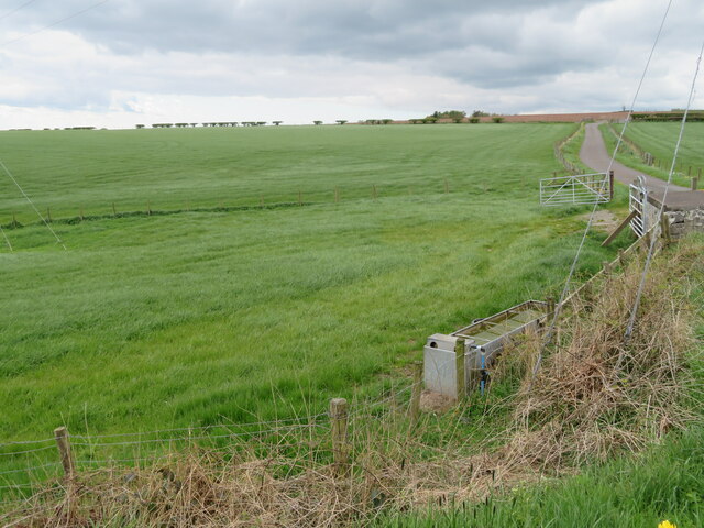
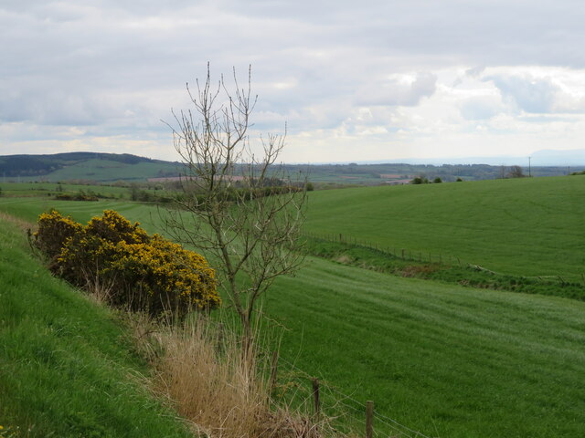
Bar Hill is characterized by its distinctive conical shape and is composed mainly of granite and other igneous rocks. The hill is covered in green vegetation, including grasses, heather, and scattered shrubs, creating a picturesque landscape. Its slopes are moderately steep, making it a popular destination for hikers and nature enthusiasts.

The summit of Bar Hill provides visitors with panoramic vistas of the rolling hills and valleys of Dumfriesshire, as well as distant views of the Solway Firth and the Cumbrian Mountains in England. On clear days, it is possible to see as far as the Isle of Man.

Due to its accessibility and natural beauty, Bar Hill attracts visitors throughout the year. The surrounding area offers a range of recreational activities, such as walking, birdwatching, and photography. The hill is also home to various wildlife species, including birds of prey, such as kestrels and buzzards.

In addition to its natural attractions, Bar Hill is of historical significance. Archaeological evidence suggests that the hill was once inhabited during the Iron Age, making it an area of interest for those interested in ancient civilizations.

Overall, Bar Hill is a captivating natural landmark, offering a glimpse into the stunning landscapes and rich history of Dumfriesshire.

If you have any feedback on the listing, please let us know in the comments section below.
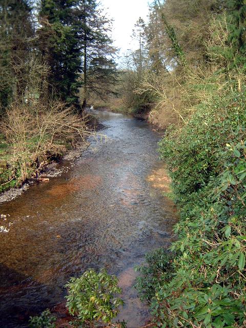
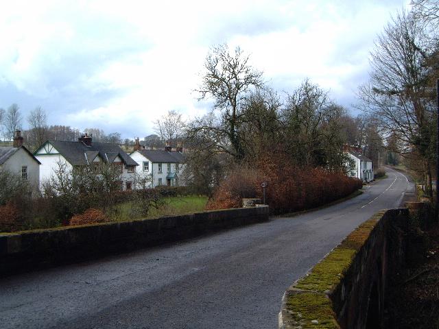
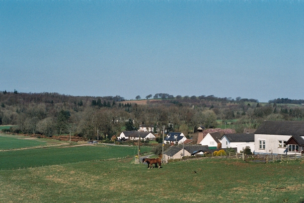
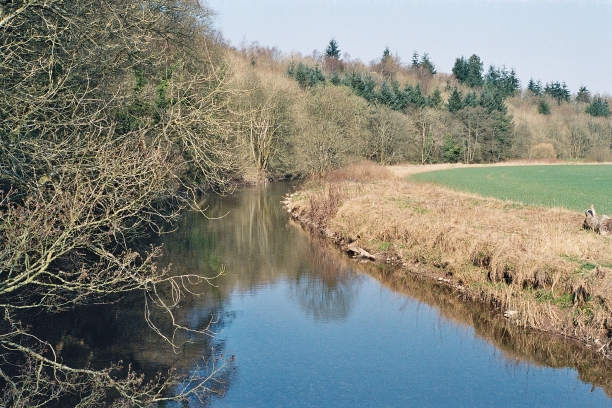
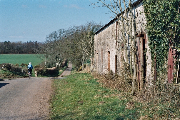
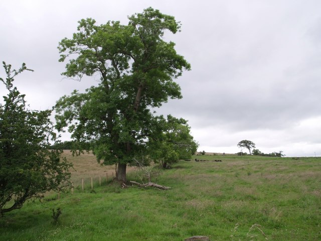
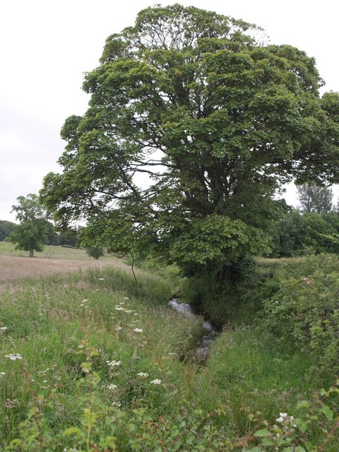
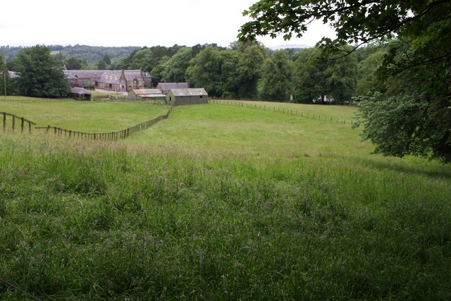
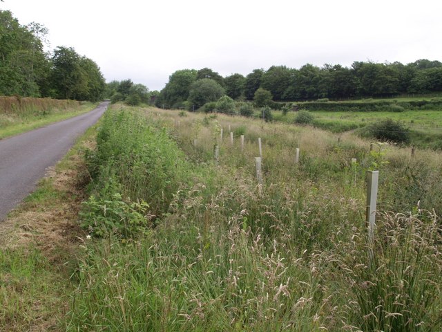
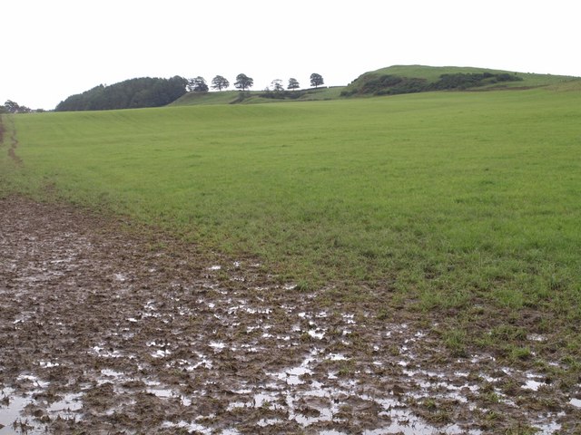
Bar Hill Images

Images are sourced within 2km of 55.067862/-3.322541 or Grid Reference NY1575. Thanks to Geograph Open Source API. All images are credited.

Bridge over A74(M)
Bridge over A74(M)
Bridge over A74(M)
Bridge over A74(M)
Pathhead near Milkbank Lodge Junction where the minor road from Broom meets the road from Kirkbank to Middleshaw.
This junction is on the route of the Annandale Way long distance path.
Pathhead near Milkbank Lodge
Junction where the minor road from Broom meets the road from Kirkbank to Middleshaw. This junction is on the route of the Annandale Way long distance path.
Mainhill Farm A large dairy farm between Lockerbie and Ecclefechan.
Mainhill Farm
A large dairy farm between Lockerbie and Ecclefechan.
Pasture at Mainhill farm And the road to the farm and a watering cistern.
Pasture at Mainhill farm
And the road to the farm and a watering cistern.
B7076 roadside A grassy bank, with Gorse and an Ash sapling, slopes down to grass field at Mainhill farm.
B7076 roadside
A grassy bank, with Gorse and an Ash sapling, slopes down to grass field at Mainhill farm.
The B7076 at Mainhill The original A74, now the B7076, runs parallel to the motorway. The bridge ahead gives Mainhill farm access across the A74(M).
The B7076 at Mainhill
The original A74, now the B7076, runs parallel to the motorway. The bridge ahead gives Mainhill farm access across the A74(M).
Access bridge, A74(M) The A74(M) & M74  run over 80 miles from the M6 at the Scottish border near Gretna to the M8 at Glasgow. This is one of the two most important routeways into Scotland from the south. The last stretch of the M74 opened in 2011 (see <a title="https://www.geograph.org.uk/snippet/590" href="https://www.geograph.org.uk/snippet/590">Link</a> ).
Wikipedia: <span class="nowrap"><a title="http://en.wikipedia.org/wiki/A74(M)_and_M74_motorways" rel="nofollow ugc noopener" href="http://en.wikipedia.org/wiki/A74(M)_and_M74_motorways">Link</a><img style="margin-left:2px;" alt="External link" title="External link - shift click to open in new window" src="https://s1.geograph.org.uk/img/external.png" width="10" height="10"/></span>
Access bridge, A74(M)
The A74(M) & M74 run over 80 miles from the M6 at the Scottish border near Gretna to the M8 at Glasgow. This is one of the two most important routeways into Scotland from the south. The last stretch of the M74 opened in 2011 (see Link ). Wikipedia: LinkExternal link
The Water of Milk A tributary of the R. Annan, taken from the bridge at Kettleholm.
The Water of Milk
A tributary of the R. Annan, taken from the bridge at Kettleholm.
Kettleholm Small village close to the A 74(M). Picture taken from the bridge over the Water of Milk.
Kettleholm
Small village close to the A 74(M). Picture taken from the bridge over the Water of Milk.
Middleshaw Hamlet on the B723 from Annan to Lockerbie (Do the Scots use the term hamlet? If not, what?)
Middleshaw
Hamlet on the B723 from Annan to Lockerbie (Do the Scots use the term hamlet? If not, what?)
The Water of Milk at Pathhead
Banksideyett Door not used for a few years!
Banksideyett
Door not used for a few years!
Field boundary near Knockhill The fence and row of trees climb away from the junction of the B723 with the lane to Hoddomcross past Knockhill.
Field boundary near Knockhill
The fence and row of trees climb away from the junction of the B723 with the lane to Hoddomcross past Knockhill.
Small burn near Shortrigg This little burn flows into the Annan less than a kilometre away. Here it runs along the foot of a field below Shortrigg; over the hedge is the B723. Seen from the end of the farm road to Shortrigg.
Small burn near Shortrigg
This little burn flows into the Annan less than a kilometre away. Here it runs along the foot of a field below Shortrigg; over the hedge is the B723. Seen from the end of the farm road to Shortrigg.
Castlemilk Home Farm The farm building dates from 1867. Seen from where the lane to Breckonhill meets the corner of Square Wood.
Castlemilk Home Farm
The farm building dates from 1867. Seen from where the lane to Breckonhill meets the corner of Square Wood.
Lane and railway cutting The lane links the B723 to the B7076, which is behind the hedge beyond the main railway line to Glasgow, hidden down the slope. The roads meets above a short railway tunnel. Behind the trees on the right is the A74(M).
Lane and railway cutting
The lane links the B723 to the B7076, which is behind the hedge beyond the main railway line to Glasgow, hidden down the slope. The roads meets above a short railway tunnel. Behind the trees on the right is the A74(M).
View towards Douglashall The right-hand of the hills, which presents a craggy face to the northeast (roche moutonnée?), is within the square; to the left, the horizon is in <a href="https://www.geograph.org.uk/gridref/NY1777">NY1777</a>. Seen from a muddy gateway at the junction of the farm road to Cowdens with the no-through road to Douglashall Pendicle, the building on the extreme left.
View towards Douglashall
The right-hand of the hills, which presents a craggy face to the northeast (roche moutonnée?), is within the square; to the left, the horizon is in NY1777. Seen from a muddy gateway at the junction of the farm road to Cowdens with the no-through road to Douglashall Pendicle, the building on the extreme left.
Show me another place!

Bar Hill is located at Grid Ref: NY1575 (Lat: 55.067862, Lng: -3.322541)

Unitary Authority: Dumfries and Galloway

Police Authority: Dumfries and Galloway

What 3 Words

///issues.digitally.proposals. Near Lockerbie, Dumfries & Galloway

Related Wikis

Ecclefechan railway station

Ecclefechan railway station was a station which served the rural area around Ecclefechan, south of Lockerbie in Applegarth parish, Scottish county of Dumfries...
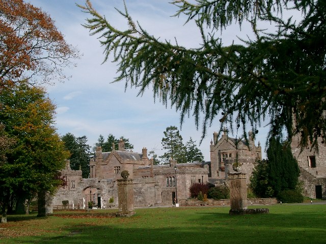
Hoddom Castle

Hoddom Castle is a large tower house in Dumfries and Galloway, south Scotland. It is located by the River Annan, 4 kilometres (2.5 mi) south-west of Ecclefechan...

Hoddom

Hoddom is a small settlement and civil parish in Dumfries and Galloway, Scotland, dating back to the 8th century. == Location == Hoddom is 13 miles by...

Ecclefechan

Ecclefechan (Scottish Gaelic: Eaglais Fheichein) is a small village located in Dumfries and Galloway in the south of Scotland. The village is famous for...

Related Videos

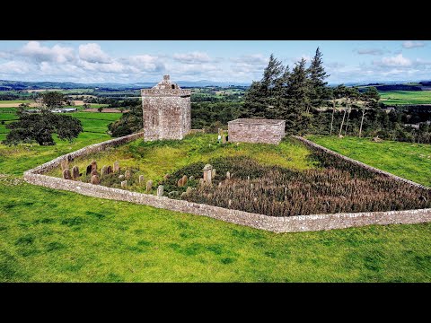
Repentance Tower - Lockerbie - Scotland

Info from Wikipedia - https://en.wikipedia.org/wiki/Repentance_Tower The Repentance Tower is a very rare example of a mid-16th ...

Millbank House, Nr Lockerbie, Scotland - Abandoned Gothic Mansion

19th Century home now in state of abandon and partial collapse being taken over by the surrounding woodland. Filmed on a DJI ...

Milkbank House

Milkbank House, Kettleholm near Lockerbie. We had a great time exploring this amazing building, built with stone that is still in ...

Nearby Amenities

Located within 500m of 55.067862,-3.322541
Bar Hill
Natural: peak
Lat/Long: 55.0679314/-3.3226585
Power: pole
Lat/Long: 55.0655817/-3.3282232
Power: pole
Lat/Long: 55.0660345/-3.326912
Power: pole
Lat/Long: 55.0664549/-3.3257219
Power: pole
Lat/Long: 55.0668812/-3.3245216
Power: pole
Lat/Long: 55.0672883/-3.3233469
Power: pole
Lat/Long: 55.0676998/-3.322162
Power: pole
Lat/Long: 55.0681084/-3.3210054
Communication Mobile Phone: yes
Man Made: mast
Tower Type: communication
Lat/Long: 55.0680266/-3.3200384
The data included in this document is from www.openstreetmap.org. The data is made available under ODbL.

Have you been to Bar Hill?

Leave your review of Bar Hill below (or comments, questions and feedback).