Blindman's Hill
Hill, Mountain in Dumfriesshire
Scotland
Blindman's Hill
Blindman's Hill is a prominent hill located in Dumfriesshire, Scotland. Rising to a height of approximately 450 meters (1,476 feet), it is a notable feature of the local landscape and offers stunning panoramic views of the surrounding countryside.
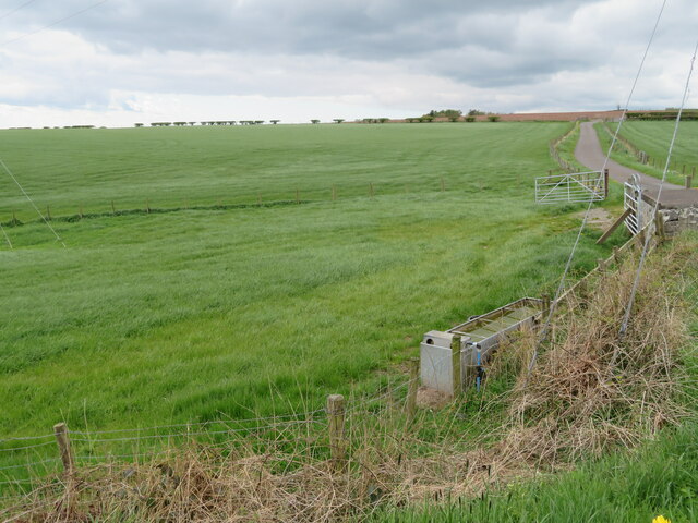
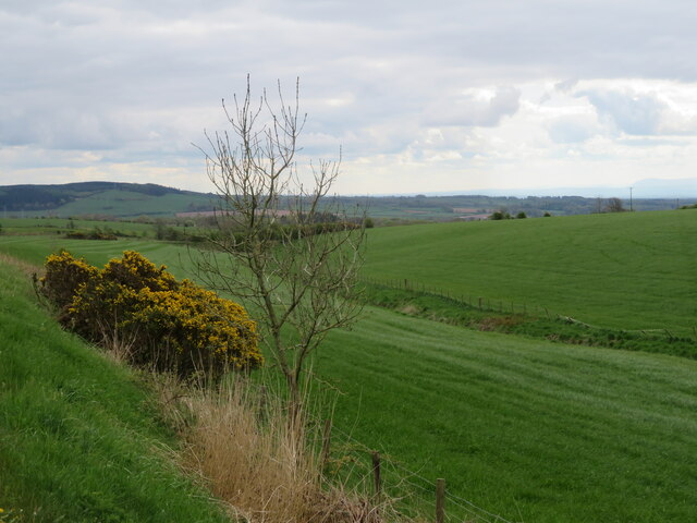
Situated near the village of Moffat, Blindman's Hill is part of the Moffat Hills range, which is known for its rugged beauty and diverse wildlife. The hill is characterized by its steep, grassy slopes and is a popular destination for hikers and nature enthusiasts seeking outdoor adventures.
The name "Blindman's Hill" is believed to have originated from a local legend. According to the tale, a blind beggar once climbed the hill and, upon reaching the summit, regained his sight. This story has added an air of mystique and intrigue to the hill's reputation, attracting visitors who are curious about its folklore.
Hikers who venture to Blindman's Hill can expect a challenging but rewarding ascent. The trail is well-defined, but the steepness of the slopes can be physically demanding. However, the effort is worth it as the summit offers breathtaking views of the Moffat Valley, with its rolling hills, meandering rivers, and picturesque villages.
In addition to its natural beauty, Blindman's Hill is also home to a variety of flora and fauna. The heather-covered slopes provide habitat for a range of bird species, such as grouse and peregrine falcons, while the surrounding woodlands support populations of red squirrels and roe deer.
Overall, Blindman's Hill is a captivating destination that offers both natural wonders and intriguing folklore, making it a must-visit for those exploring Dumfriesshire's scenic landscapes.
If you have any feedback on the listing, please let us know in the comments section below.
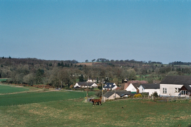
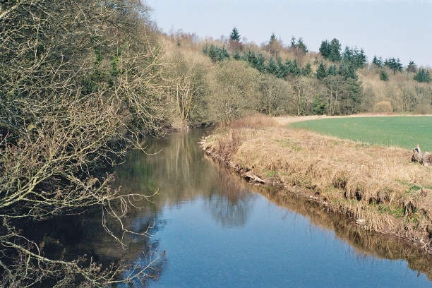
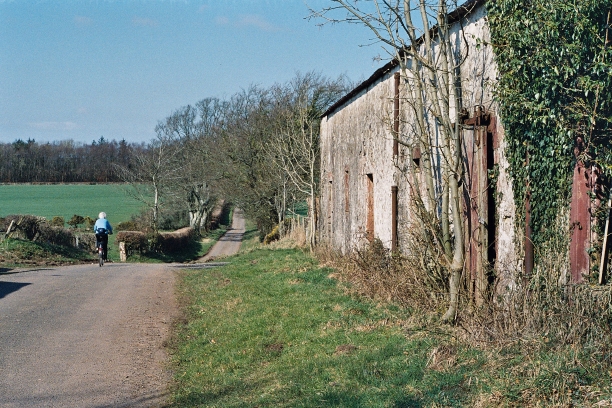
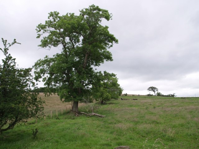
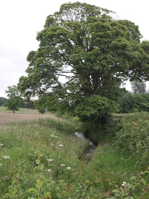
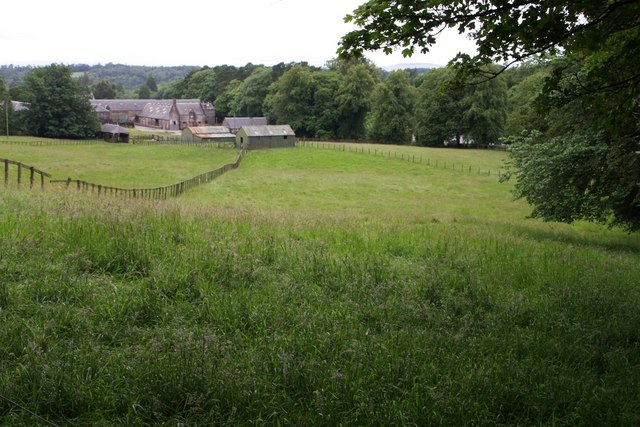
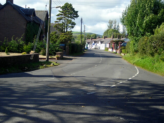
Blindman's Hill Images
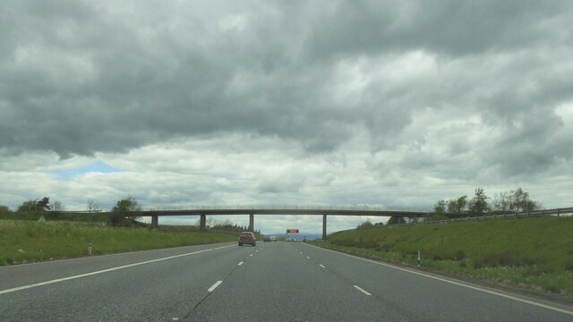
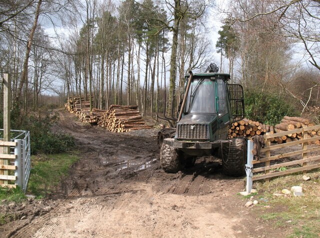
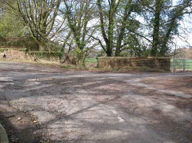
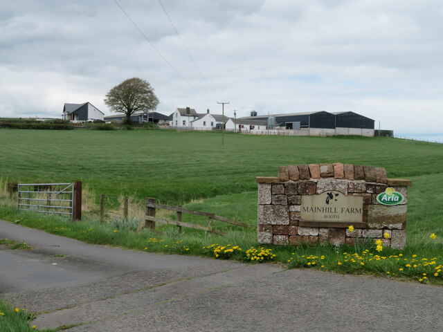
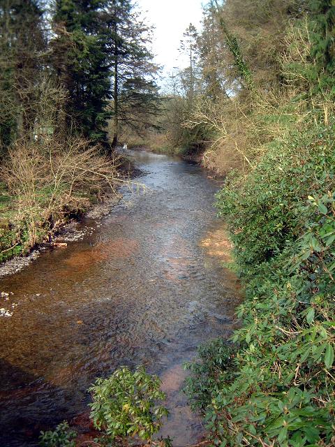
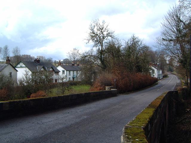
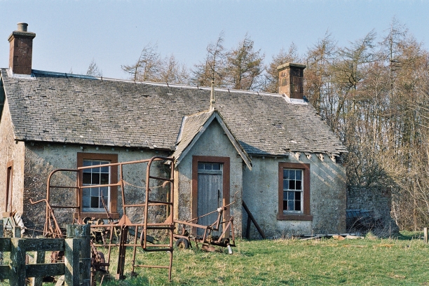
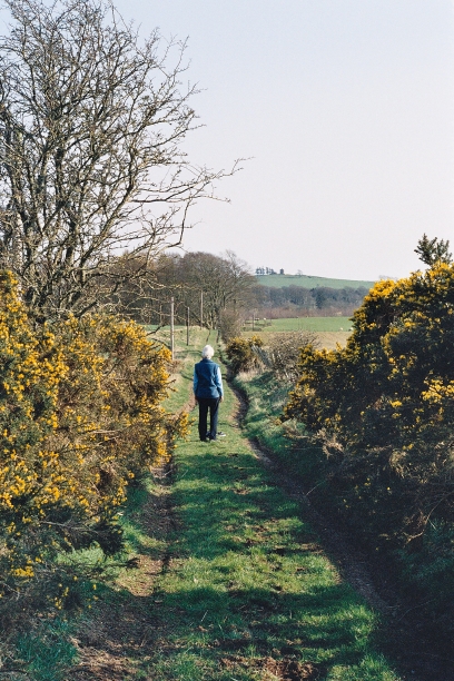
Images are sourced within 2km of 55.067888/-3.3317031 or Grid Reference NY1575. Thanks to Geograph Open Source API. All images are credited.
Blindman's Hill is located at Grid Ref: NY1575 (Lat: 55.067888, Lng: -3.3317031)
Unitary Authority: Dumfries and Galloway
Police Authority: Dumfries and Galloway
What 3 Words
///reefs.utter.huddle. Near Lockerbie, Dumfries & Galloway
Nearby Locations
Related Wikis
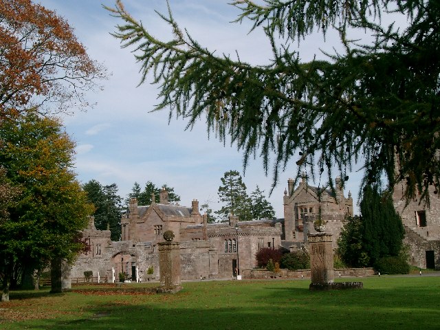
Hoddom Castle
Hoddom Castle is a large tower house in Dumfries and Galloway, south Scotland. It is located by the River Annan, 4 kilometres (2.5 mi) south-west of Ecclefechan...

Hoddom
Hoddom is a small settlement and civil parish in Dumfries and Galloway, Scotland, dating back to the 8th century. == Location == Hoddom is 13 miles by...

Ecclefechan railway station
Ecclefechan railway station was a station which served the rural area around Ecclefechan, south of Lockerbie in Applegarth parish, Scottish county of Dumfries...
Dalton, Dumfries and Galloway
The village of Dalton is a small settlement about 10 miles (16 km) southeast of Dumfries and 4 miles (6.4 km) south of Lockerbie, in Dumfries and Galloway...
Nearby Amenities
Located within 500m of 55.067888,-3.3317031Have you been to Blindman's Hill?
Leave your review of Blindman's Hill below (or comments, questions and feedback).