Ballantruan Wood
Wood, Forest in Banffshire
Scotland
Ballantruan Wood
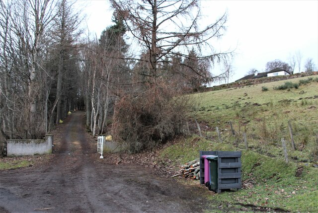
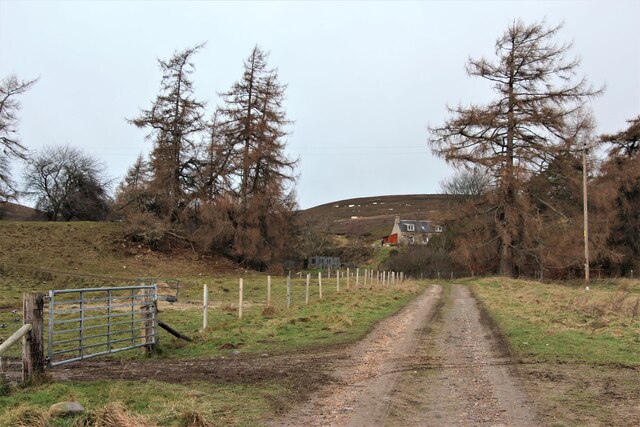
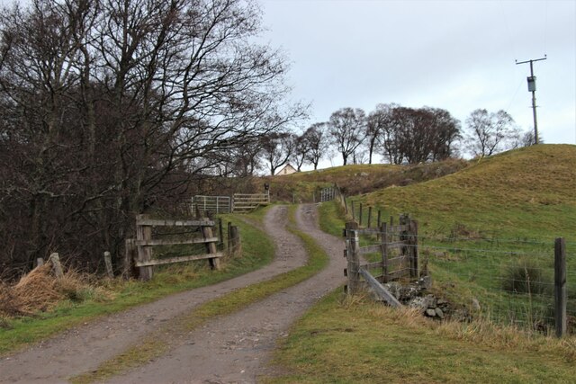
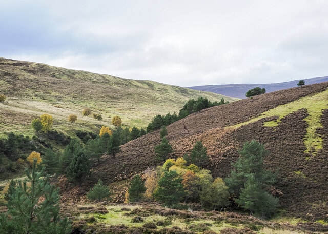
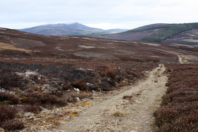
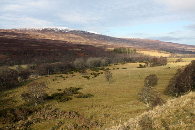
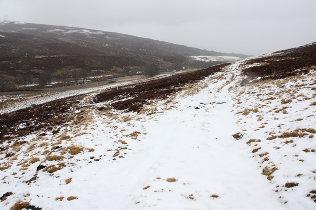
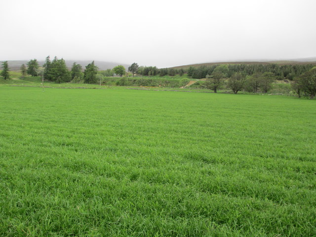
Ballantruan Wood is a picturesque forest located in the region of Banffshire, Scotland. Covering an area of approximately 100 hectares, the wood is renowned for its natural beauty and diverse flora and fauna. It is a popular destination for nature lovers, hikers, and birdwatchers.
The wood is predominantly composed of native species of trees, including oak, birch, and pine. These trees form a dense canopy, providing a cool and shaded environment for visitors to explore. The forest floor is adorned with a carpet of mosses, ferns, and wildflowers, creating a vibrant and enchanting atmosphere.
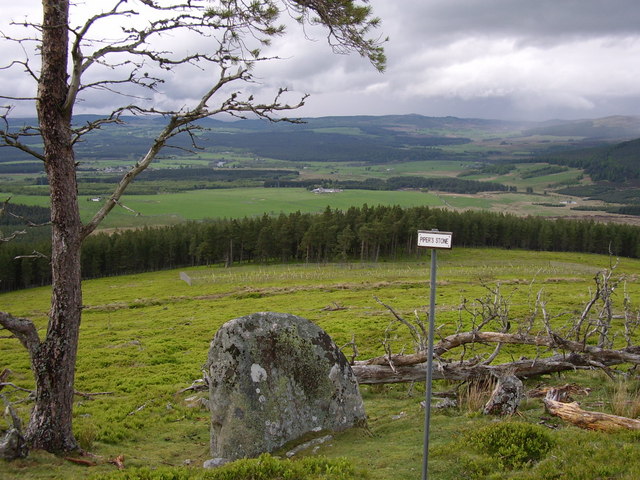
The wood is home to a variety of wildlife, making it an ideal spot for animal enthusiasts. Red squirrels can be spotted darting between the trees, while deer can occasionally be seen grazing in the open areas. Bird species such as woodpeckers, owls, and songbirds are abundant, delighting birdwatchers with their melodies and graceful flights.
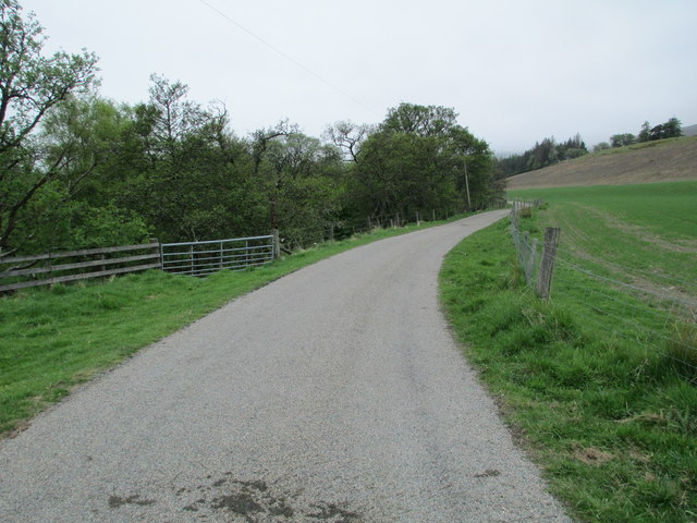
Trails and paths have been established throughout the wood, allowing visitors to navigate easily and enjoy the beauty of the surroundings. These paths range from leisurely strolls to more challenging hikes, catering to different skill levels and preferences.
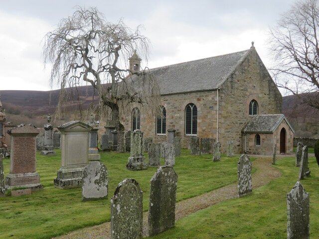
Ballantruan Wood is not only a haven for nature enthusiasts but also a place of historical significance. Remnants of ancient settlements and burial mounds can be found within the forest, providing a glimpse into the area's rich past.
Overall, Ballantruan Wood offers a serene and captivating experience, immersing visitors in the wonders of nature and providing a tranquil retreat from the bustle of everyday life.
If you have any feedback on the listing, please let us know in the comments section below.
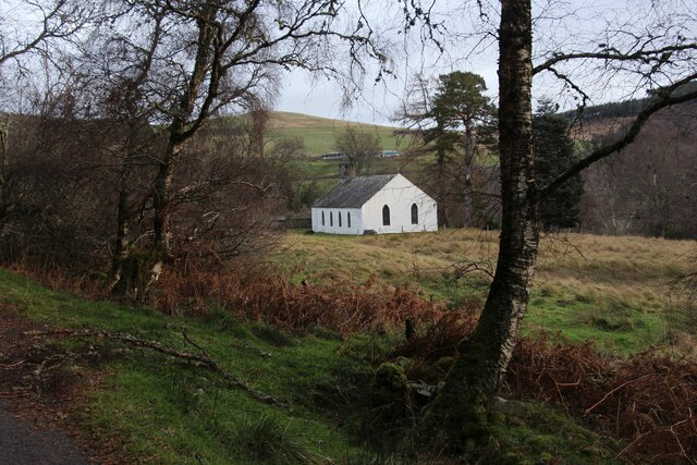
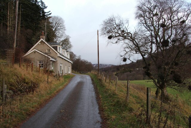
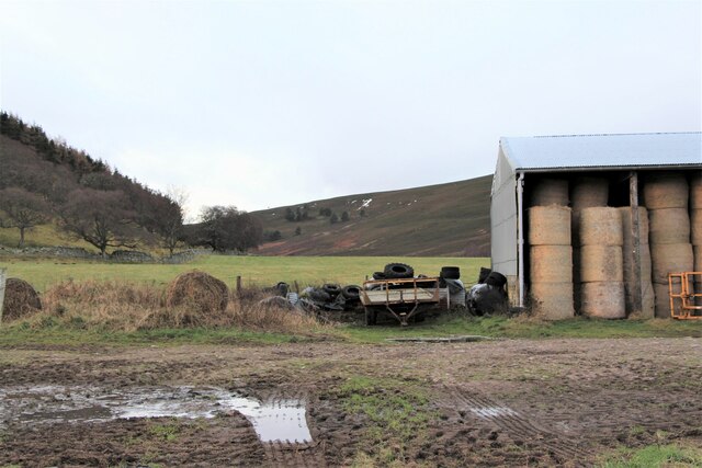
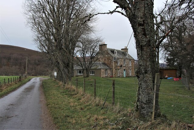
Ballantruan Wood Images
Images are sourced within 2km of 57.303459/-3.421004 or Grid Reference NJ1424. Thanks to Geograph Open Source API. All images are credited.
Ballantruan Wood is located at Grid Ref: NJ1424 (Lat: 57.303459, Lng: -3.421004)
Unitary Authority: Moray
Police Authority: North East
What 3 Words
///equal.removals.takers. Near Grantown-on-Spey, Highland
Nearby Locations
Related Wikis

Kirkmichael, Moray
Kirkmichael is a parish and hamlet in Moray, Scotland. Kirkmichael was historically part of Banffshire.The hamlet lies approximately 8 miles south of Ballindalloch...

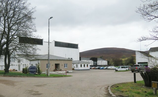
Tomintoul distillery
Tomintoul distillery is a distillery in Kirkmichael, between Ballindalloch and Tomintoul in the Speyside region of Scotland, producing malt whisky for...
Battle of Cromdale
The Battle of Cromdale took place at the Haughs of Cromdale on 30 April and 1 May 1690. The site is on a hillside near the village of Cromdale, then in...

Glenlivet Estate
The Glenlivet Estate is located in Glenlivet, Scotland in the Cairngorms National Park. It measures 58,000 acres (230 km2) and is part of The Crown Estate...
Tomintoul
Tomintoul ( ; from Scottish Gaelic: Tom an t-Sabhail, meaning "Hillock of the Barn") is a village in the Moray council area of Scotland in the historic...

The Glenlivet distillery
The Glenlivet distillery is a distillery near Ballindalloch in Moray, Scotland that produces single malt Scotch whisky. It is the oldest legal distillery...
Blairfindy Castle
Blairfindy Castle is an L-plan tower house, dating from the 16th century, around 6.5 miles (10.5 km) north of Tomintoul, and west of the River Livet....
Auchnarrow
Auchnarrow (Scottish Gaelic: Achadh an Arbha) is a village in Moray, Scotland.
Nearby Amenities
Located within 500m of 57.303459,-3.421004Have you been to Ballantruan Wood?
Leave your review of Ballantruan Wood below (or comments, questions and feedback).