Dalmahoy Hill Plantation

Wood, Forest in Midlothian

Scotland

Dalmahoy Hill Plantation

A sad site/sight Property at Balerno, on the 'bends' on the A70, as one leaves Balerno, which has appeared to have been abandoned for some years, looks as if something is happening at last.
A sad site/sight Credit: M J Richardson

Dalmahoy Hill Plantation is a picturesque woodland area situated in Midlothian, Scotland. Spanning over a vast area, the plantation is known for its diverse range of trees and lush greenery, making it a popular destination for nature enthusiasts and hikers.

Located near the village of Kirknewton, Dalmahoy Hill Plantation is characterized by its mixed woodland, comprising mainly of native tree species such as oak, beech, and birch. These trees provide a habitat for various wildlife species, including birds, insects, and small mammals.

The plantation offers a network of well-maintained trails, allowing visitors to explore the area at their own pace. The paths wind through the forest, providing breathtaking views of the surrounding countryside and the nearby Pentland Hills. The peaceful ambiance and natural beauty of Dalmahoy Hill Plantation make it an ideal place for leisurely walks, picnics, and photography.

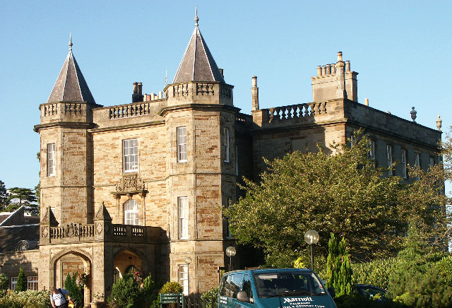
In addition to its natural splendor, the plantation also holds historical significance. The area was once part of the Dalmahoy Estate, which dates back several centuries. The estate's grand mansion, Dalmahoy House, is located nearby and is now a luxury hotel and golf resort.

Overall, Dalmahoy Hill Plantation offers a serene and tranquil escape from the hustle and bustle of city life. Its abundant wildlife, scenic trails, and rich history make it a must-visit destination for anyone seeking to connect with nature and experience the beauty of the Scottish countryside.

If you have any feedback on the listing, please let us know in the comments section below.

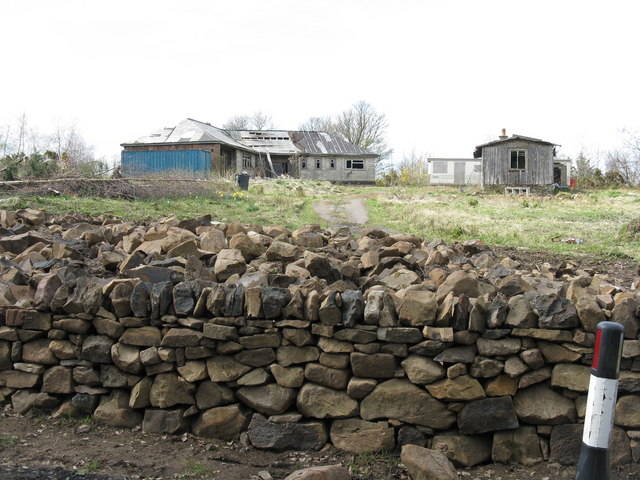
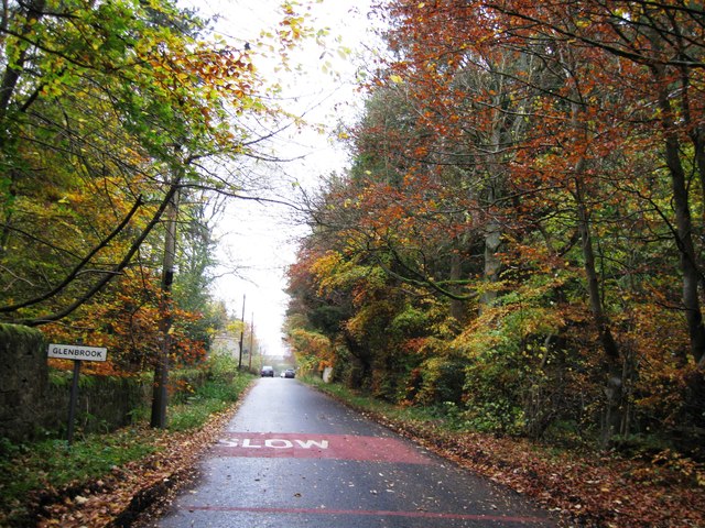
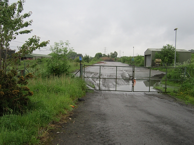
Dalmahoy Hill Plantation Images

Images are sourced within 2km of 55.89101/-3.3691638 or Grid Reference NT1467. Thanks to Geograph Open Source API. All images are credited.

A sad site/sight Property at Balerno, on the 'bends' on the A70, as one leaves Balerno, which has appeared to have been abandoned for some years, looks as if something is happening at last.
A sad site/sight
Property at Balerno, on the 'bends' on the A70, as one leaves Balerno, which has appeared to have been abandoned for some years, looks as if something is happening at last.
Dalmahoy Hill Looking south from Long Dalmahoy Road, with heaps of 'road metal' from the quarry at the base.
Dalmahoy Hill
Looking south from Long Dalmahoy Road, with heaps of 'road metal' from the quarry at the base.
Dalmahoy Hill and Tarmac Quarry buildings The quarry is identified as Ravelrig Quarry on the current OS 1:25000 map, and is in the next square to the SE. It is a huge hole <a href="https://www.geograph.org.uk/photo/887642">NT1466 : Dalmahoy Quarry</a> and was not there when I last went up the hill in the 1970s; it is also not on the 2001 edition of the map.
Dalmahoy Hill and Tarmac Quarry buildings
The quarry is identified as Ravelrig Quarry on the current OS 1:25000 map, and is in the next square to the SE. It is a huge hole NT1466 : Dalmahoy Quarry and was not there when I last went up the hill in the 1970s; it is also not on the 2001 edition of the map.
Autumn colours, Glenbrook
Cock Burn, Glenbrook
Water of Leith, Glenbrook
Hardstanding beside the railway Marked on the map as a waste transfer station but looking hardly used now. One of the Dalmahoy quarries was filled in by a landfill site, so the waste may have all gone below the ground by now.
Hardstanding beside the railway
Marked on the map as a waste transfer station but looking hardly used now. One of the Dalmahoy quarries was filled in by a landfill site, so the waste may have all gone below the ground by now.
Railway west of Edinburgh The railway runs to Carstairs as part of the West Coast Mainline with a non electric branch heading to Glasgow via Shotts. These are two of the four routes between Glasgow and Edinburgh.
Railway west of Edinburgh
The railway runs to Carstairs as part of the West Coast Mainline with a non electric branch heading to Glasgow via Shotts. These are two of the four routes between Glasgow and Edinburgh.
Dalmahoy Hill trig pillar At 246 metres above sea level on the edge of the Pentland Hills. Black Hill (one of the Pentland hills) can be seen right of shot.
Dalmahoy Hill trig pillar
At 246 metres above sea level on the edge of the Pentland Hills. Black Hill (one of the Pentland hills) can be seen right of shot.
St Mary's Episcopal Church Dalmahoy Stained glass made and installed by the parishioners.
St Mary's Episcopal Church Dalmahoy
Stained glass made and installed by the parishioners.
St Mary's Episcopal Church Dalmahoy The Church viewed from the Churchyard looking east.
St Mary's Episcopal Church Dalmahoy
The Church viewed from the Churchyard looking east.
St Mary's Episcopal Church Dalmahoy St Mary's churchyard.
St Mary's Episcopal Church Dalmahoy
St Mary's churchyard.
The Gatehouse Dalmahoy Estate The Gatehouse at the entrance to the Dalmahoy estate.
The Gatehouse Dalmahoy Estate
The Gatehouse at the entrance to the Dalmahoy estate.
Dalmahoy Country Estate Entrance and sign to the Dalmahoy Country Club and Hotel.
Dalmahoy Country Estate
Entrance and sign to the Dalmahoy Country Club and Hotel.
Dalmahoy Country Estate Entrance road to the Hotel and the golf courses.
Dalmahoy Country Estate
Entrance road to the Hotel and the golf courses.
Dalmahoy Country Club Flags outside the Hotel.
Dalmahoy Country Club
Flags outside the Hotel.
Dalmahoy Country Club Lovely double staircase to the rear of the Hotel.
Dalmahoy Country Club
Lovely double staircase to the rear of the Hotel.
Dalmahoy Country Club Statue of James Braid at the putting greens with the Hotel in the background.
Dalmahoy Country Club
Statue of James Braid at the putting greens with the Hotel in the background.
Show me another place!

Dalmahoy Hill Plantation is located at Grid Ref: NT1467 (Lat: 55.89101, Lng: -3.3691638)

Unitary Authority: City of Edinburgh

Police Authority: Edinburgh

What 3 Words

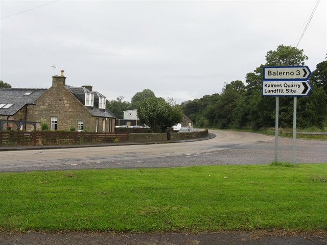
///blotchy.finders.package. Near Balerno, Edinburgh

Related Wikis

Ravelrig Junction Platform railway station

Ravelrig Junction Platform railway station or Ravelrig Halt was originally opened in 1884 as a two platform station on the Shotts line on the edge of the...

1992 Solheim Cup

The second Solheim Cup golf match took place from 2 October to 4 October 1992 at Dalmahoy Country Club, Edinburgh, Scotland. The European team beat the...

Dalmahoy

Dalmahoy (Scottish Gaelic: Dail MoThua) is a hotel and former country house near Edinburgh, Scotland. It is located off the A71 road, 3.5 kilometres (2...

Burnwynd

Burnwynd is a village on the border between the City of Edinburgh council area and West Lothian, Scotland. It is situated on the A71 road. Burnwynd is...

Nearby Amenities

Located within 500m of 55.89101,-3.3691638
Power: tower
Lat/Long: 55.8932001/-3.3723111
Power: tower
Lat/Long: 55.8934751/-3.3695879
Power: tower
Lat/Long: 55.8938196/-3.3660861
Design: three-level
Power: tower
Lat/Long: 55.8917003/-3.3731999
Design: three-level
Power: tower
Lat/Long: 55.8924534/-3.3684687
Design: three-level
Power: tower
Lat/Long: 55.8920811/-3.3629824
Power: tower
Lat/Long: 55.8952099/-3.3669201
Barrier: stile
Lat/Long: 55.8893191/-3.3680254
Ravelrig Junction
Railway: junction
Lat/Long: 55.893381/-3.3652889
Barrier: stile
Lat/Long: 55.8911477/-3.3762883
Ravelrig Junction Platform
Railway: site
Wikidata: Q64038091
Wikipedia: en:Ravelrig Junction Platform railway station
Lat/Long: 55.8939362/-3.3709772
The data included in this document is from www.openstreetmap.org. The data is made available under ODbL.

Have you been to Dalmahoy Hill Plantation?

Leave your review of Dalmahoy Hill Plantation below (or comments, questions and feedback).