Carnashach Wood
Wood, Forest in Perthshire
Scotland
Carnashach Wood
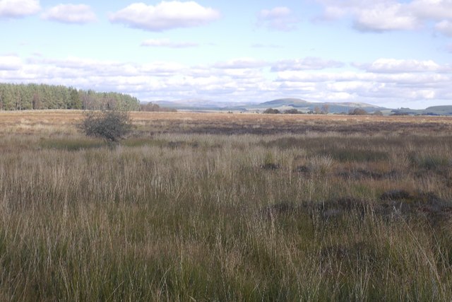
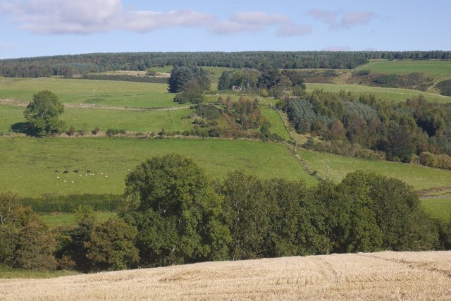
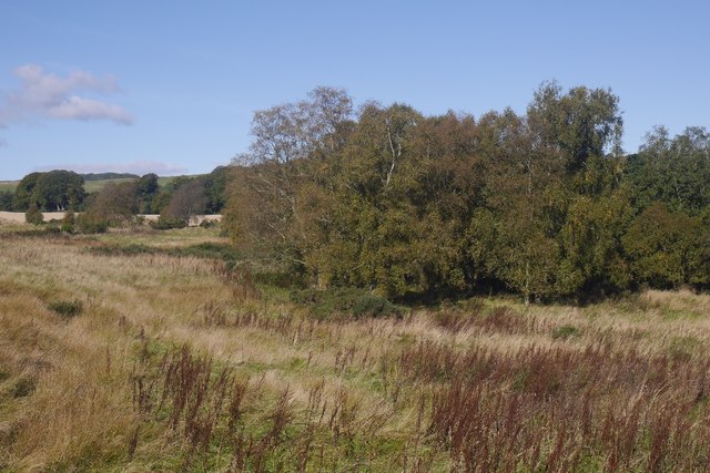
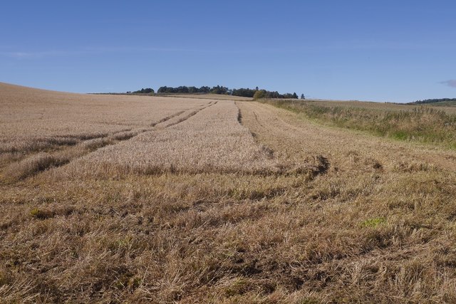
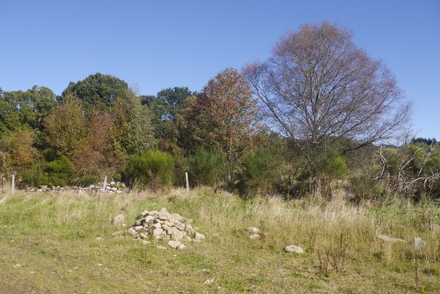
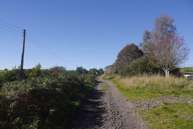
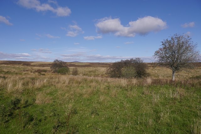
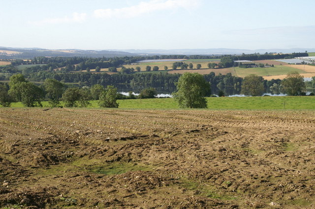
Carnashach Wood is a picturesque forest located in the region of Perthshire, Scotland. Situated just a few miles away from the small village of Comrie, this woodland area covers a vast expanse of approximately 500 acres.
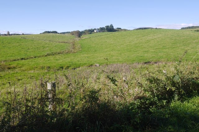
The forest is predominantly composed of native broadleaf trees, including oak, birch, and ash, creating a rich and diverse ecosystem. It is home to a wide variety of wildlife, including red squirrels, roe deer, and a plethora of bird species. The forest floor is covered in a lush carpet of ferns, wildflowers, and mosses, adding to its natural beauty.
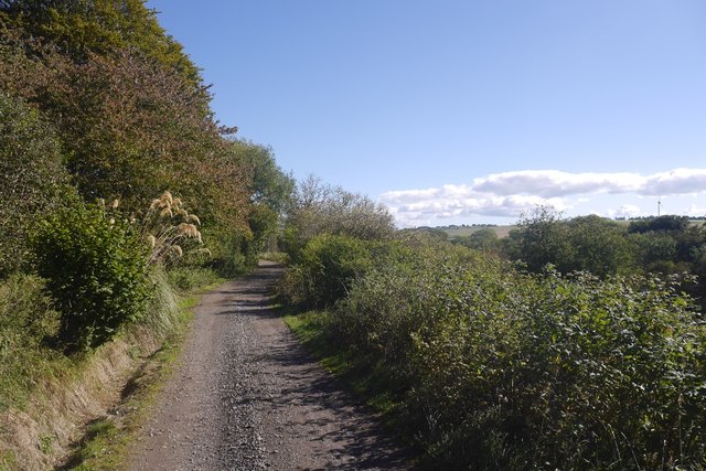
Carnashach Wood offers numerous walking trails and paths, making it a popular destination for outdoor enthusiasts. These trails range in difficulty, catering to both casual walkers and more experienced hikers. The forest also boasts a small, tranquil loch, providing a perfect spot for fishing or enjoying a peaceful picnic.
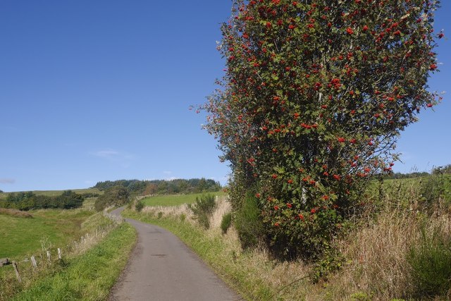
With its stunning scenery and serene atmosphere, Carnashach Wood is an ideal location for nature lovers and those seeking a peaceful retreat. It offers a chance to immerse oneself in the natural beauty of Perthshire, away from the hustle and bustle of everyday life.
Overall, Carnashach Wood is a hidden gem in the heart of Perthshire, offering a sanctuary for wildlife and a haven for visitors seeking tranquility amidst nature's beauty.
If you have any feedback on the listing, please let us know in the comments section below.
Carnashach Wood Images
Images are sourced within 2km of 56.617482/-3.3948321 or Grid Reference NO1448. Thanks to Geograph Open Source API. All images are credited.


Carnashach Wood is located at Grid Ref: NO1448 (Lat: 56.617482, Lng: -3.3948321)
Unitary Authority: Perth and Kinross
Police Authority: Tayside
What 3 Words
///mend.prowess.town. Near Blairgowrie, Perth & Kinross
Nearby Locations
Related Wikis

River Ardle
The River Ardle (Scottish Gaelic: Abhainn Àrdail) is a tributary of the River Ericht. It runs for 10 miles (16 km) through Strathardle in Perthshire, Scotland...

Achalader
Achalader (Scottish Gaelic: Achadh Chaladair) is a settlement in the council area of Perth and Kinross, Scotland. Achalader is situated 3 miles (5 kilometres...

Bridge of Cally
Bridge of Cally is a small village in Kirkmichael parish, Perth and Kinross, Scotland. It sits at the junction of three glens, Glenshee, Strathardle and...

Kinloch, Blairgowrie
Kinloch is a hamlet and civil parish immediately north of the Loch of Drumellie, about two miles (three kilometres) west of Blairgowrie in Perth and Kinross...

Rae Loch
Rae Loch is a small lowland freshwater loch that sits directly to the east of Loch of Drumellie into which it flows and is 1.5 miles (2.4 km) to the west...
Loch of Drumellie
Loch of Drumellie also known as Marlee Loch or Loch of Marlee is a small lowland freshwater loch that is located 2.3 miles west of Blairgowrie, in Perth...

Newton Castle
Newton Castle stands in its grounds near the town of Blairgowrie in Perth and Kinross, Scotland. It is a Category A listed building dating to the mid-16th...

Ardblair Castle
Ardblair Castle is an L-plan castle (with an added wing), dating from the 16th century, around 0.75 miles (1.21 km) west of Blairgowrie in Perth and Kinross...
Nearby Amenities
Located within 500m of 56.617482,-3.3948321Have you been to Carnashach Wood?
Leave your review of Carnashach Wood below (or comments, questions and feedback).