Castletown
Settlement in Staffordshire Stafford
England
Castletown
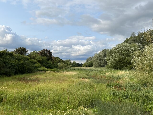
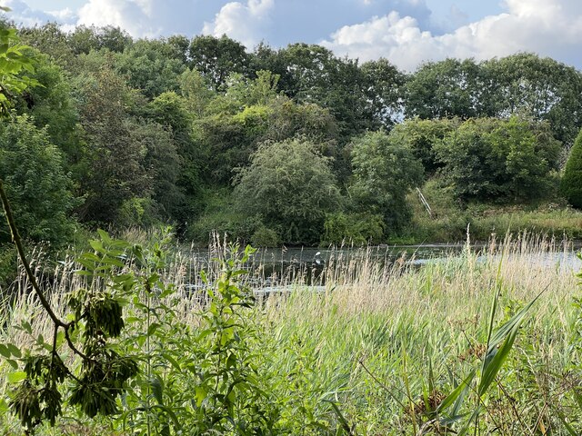
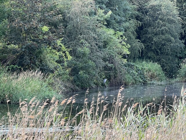
Castletown is a small village located in the county of Staffordshire, England. Situated approximately 5 miles south of the town of Newcastle-under-Lyme, it is part of the Newcastle-under-Lyme Borough Council area. The village is nestled in a picturesque rural setting, surrounded by rolling hills and farmland.
With a population of around 500 residents, Castletown retains a strong sense of community and offers a peaceful and tranquil living environment. The village is characterized by its charming traditional cottages and historic buildings, which add to its quaint and timeless appeal.
Castletown is well-connected to the nearby towns and cities, making it an ideal location for those seeking a balance between countryside living and easy access to urban amenities. Several major road links, including the A34 and A50, pass close to the village, providing convenient transportation options. Additionally, the nearby Stoke-on-Trent railway station offers direct connections to major cities such as Manchester and Birmingham.
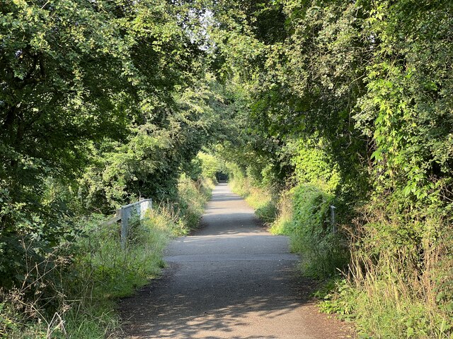
The village boasts a range of essential amenities, including a primary school, local shops, and a village hall. Residents also have access to various recreational facilities, such as parks, playing fields, and walking trails, allowing them to enjoy the surrounding natural beauty.
Overall, Castletown offers a peaceful and idyllic setting for those seeking a serene countryside lifestyle, while still enjoying the convenience of nearby urban centers. Its strong community spirit and scenic surroundings make it an attractive place to live for individuals and families alike.
If you have any feedback on the listing, please let us know in the comments section below.
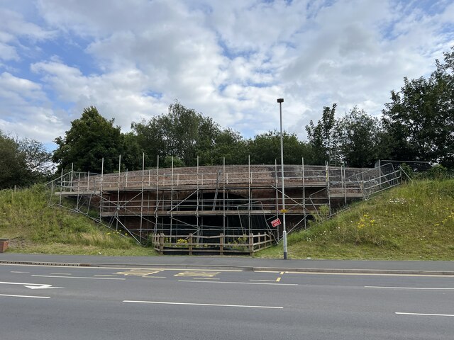
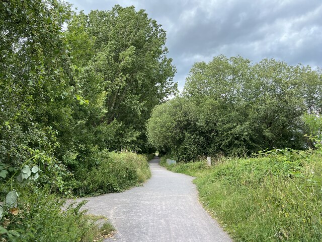
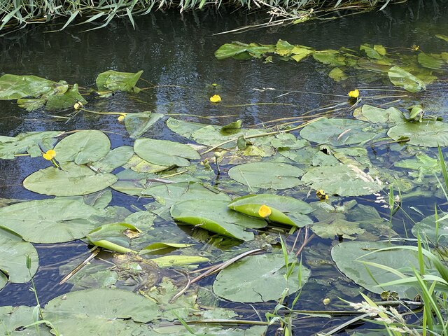
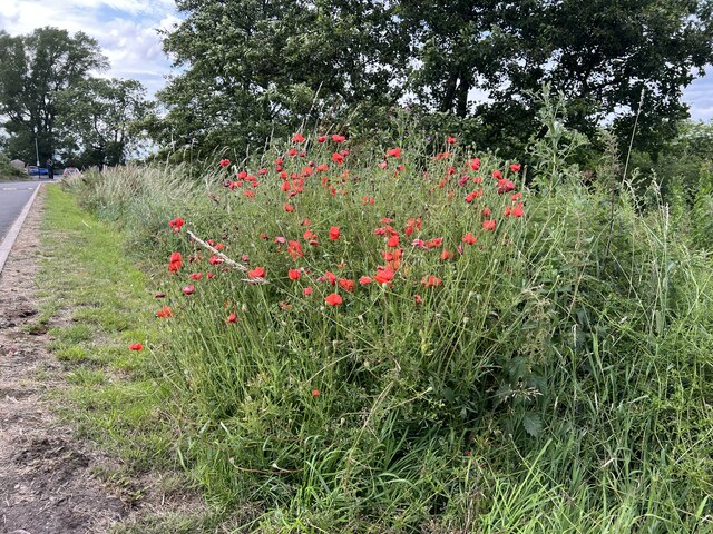
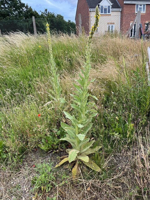
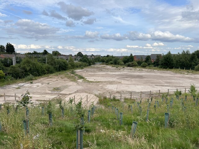
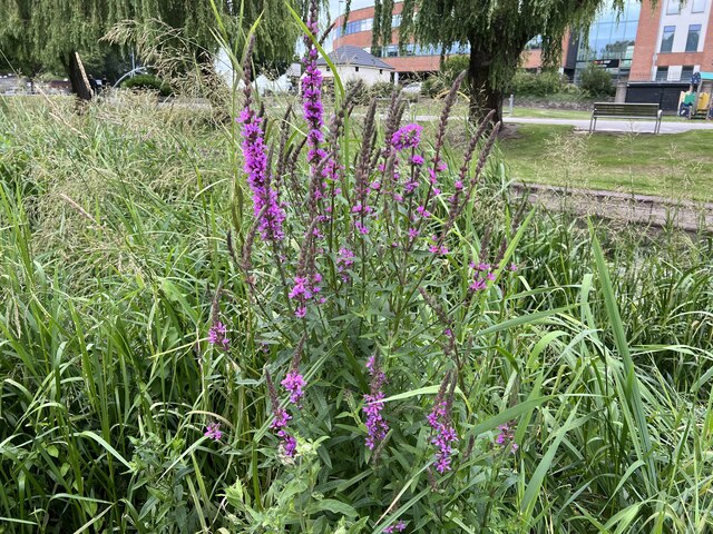
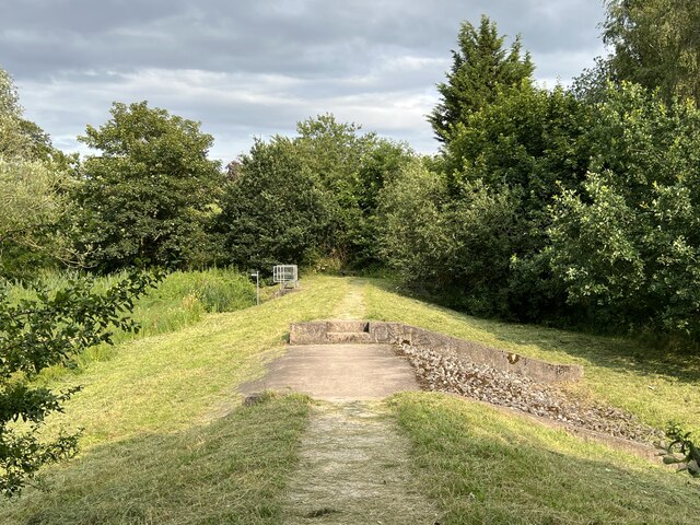
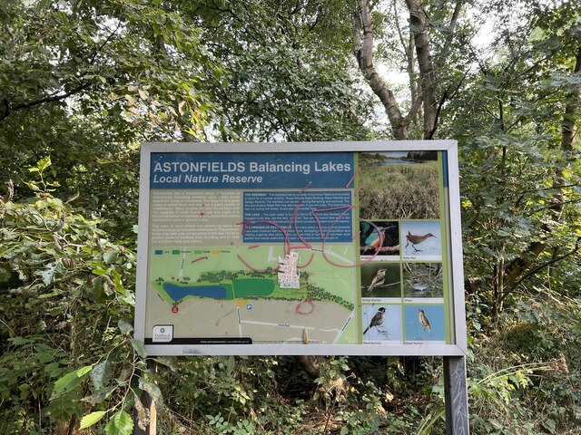
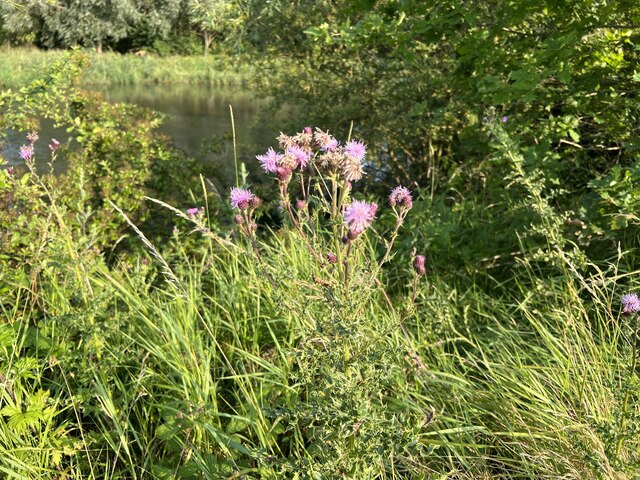
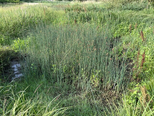
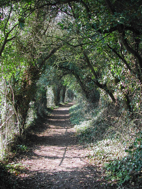
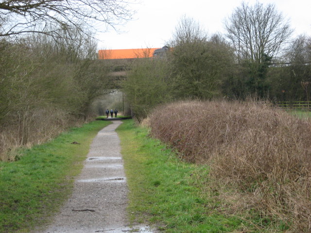
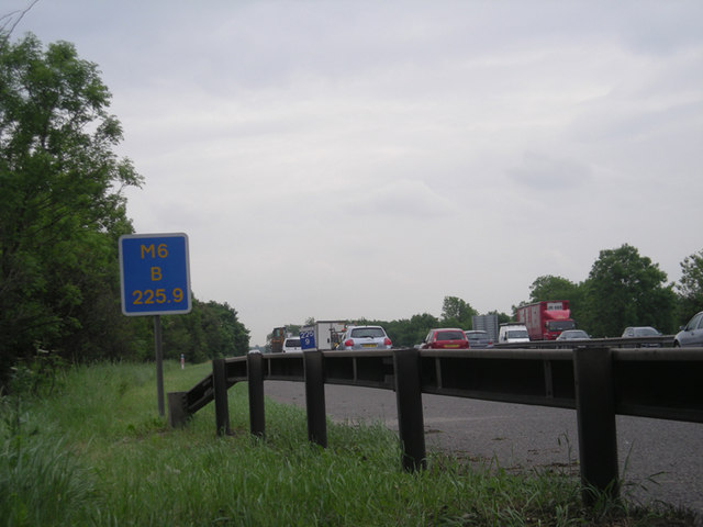
Castletown Images
Images are sourced within 2km of 52.807611/-2.125322 or Grid Reference SJ9123. Thanks to Geograph Open Source API. All images are credited.
Castletown is located at Grid Ref: SJ9123 (Lat: 52.807611, Lng: -2.125322)
Administrative County: Staffordshire
District: Stafford
Police Authority: Staffordshire
What 3 Words
///camp.intelligible.chew. Near Stafford, Staffordshire
Nearby Locations
Related Wikis

Stafford power station
Stafford power station supplied electricity to the town of Stafford, England and the surrounding area from 1895 to 1958. It was initially owned and operated...
Stafford College
Stafford College is a large provider of further and higher education based in Stafford, England. The college campus is on Earl Street in Stafford Town...
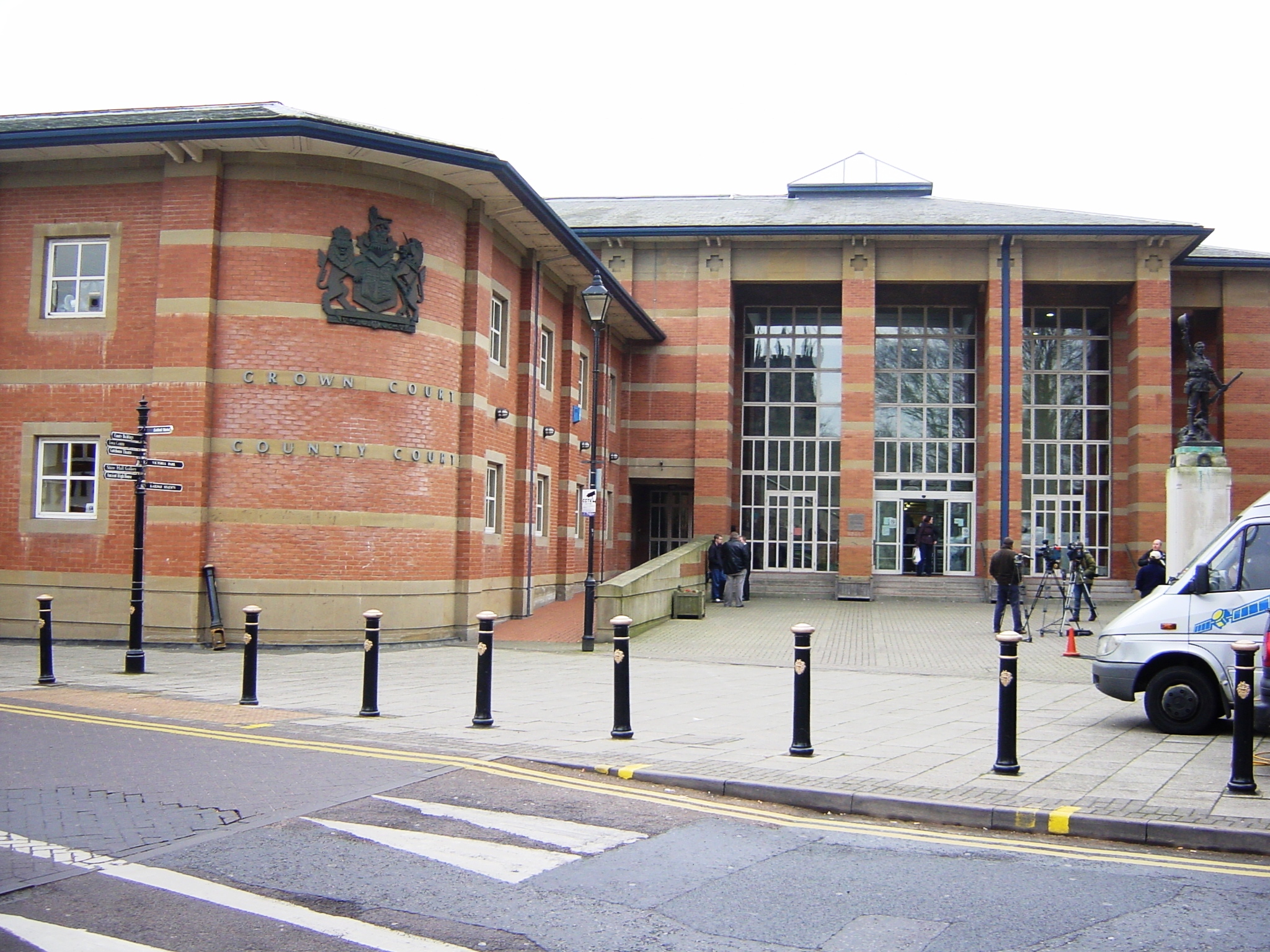
Stafford Combined Court Centre
The Stafford Combined Court Centre is a Crown Court venue, which deals with criminal cases, as well as a County Court venue, which deals with civil cases...

Stafford railway station
Stafford railway station is a major interchange railway station in Stafford, Staffordshire, England, and is the second busiest railway station in Staffordshire...
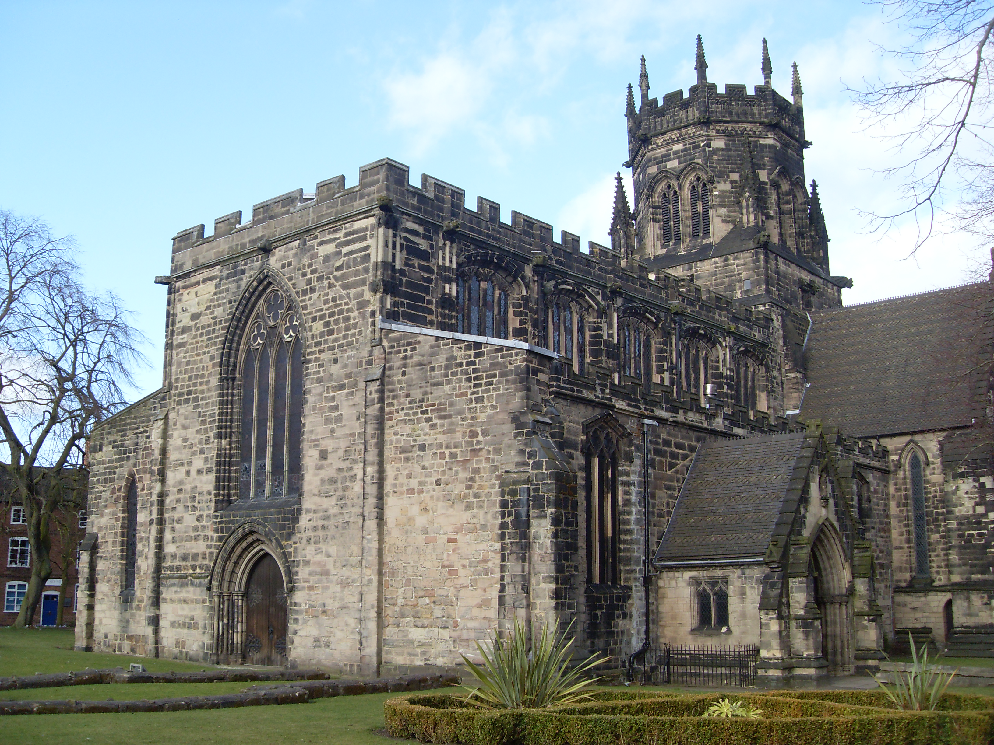
St Mary's Church, Stafford
St Mary's Church, Stafford is a Grade I listed parish church in Stafford, Staffordshire, England. == History == The church dates from the early 13th century...
1990 Stafford rail crash
The train crash at Stafford, England on 4 August 1990 resulted in the death of a train driver and injuries to 36 people. The 11:36 pm empty coaching stock...

Stafford
Stafford () is a market town and the county town of Staffordshire, in the West Midlands region of England. It lies about 15 miles (24 km) north of Wolverhampton...

Ancient High House
The Ancient High House is an Elizabethan town house located on the main street in Stafford. The house was constructed in 1595 by the Dorrington family...
Nearby Amenities
Located within 500m of 52.807611,-2.125322Have you been to Castletown?
Leave your review of Castletown below (or comments, questions and feedback).