Castletown

Settlement in Cheshire

England

Castletown

Former Methodist Chapel Built 1890, closed 2013. Now a private residence.
Former Methodist Chapel Credit: John H Darch

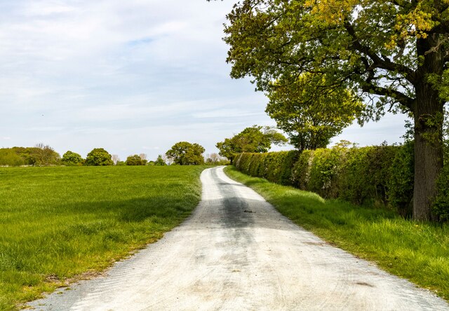
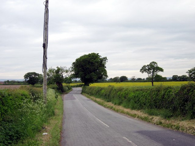
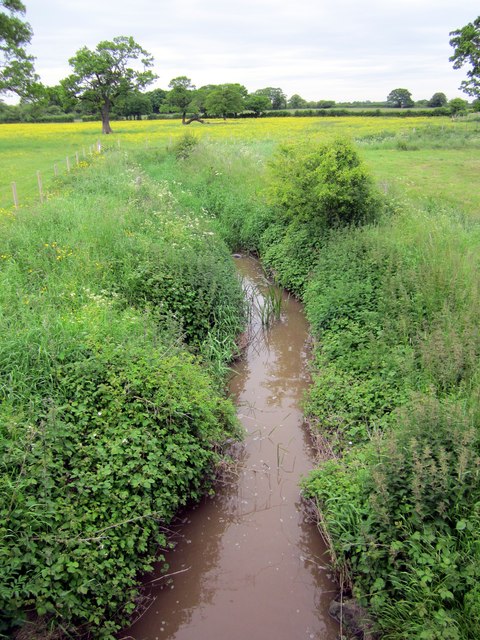
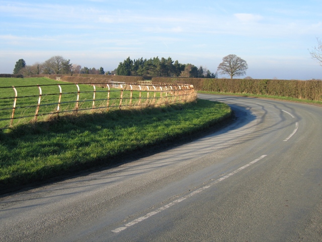
Castletown is a small village located in the county of Cheshire, England. Situated approximately 4 miles northwest of Nantwich, it is surrounded by picturesque countryside and offers a tranquil setting for its residents. The village is part of the civil parish of Acton, and its population is estimated to be around 500.

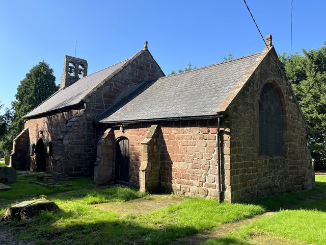
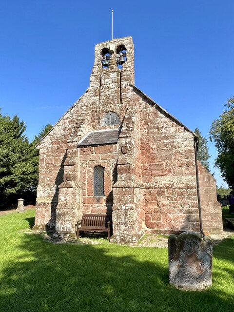
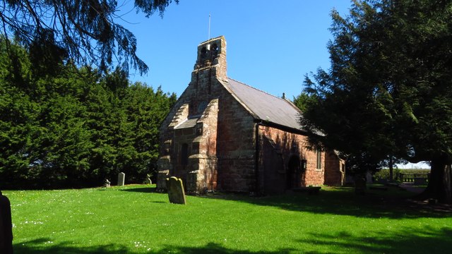
One of the main attractions in Castletown is the historic Acton Church, which dates back to the 12th century. This beautiful church features stunning architecture and serves as a place of worship for the local community. Additionally, it is a popular destination for visitors interested in exploring the village's rich history.

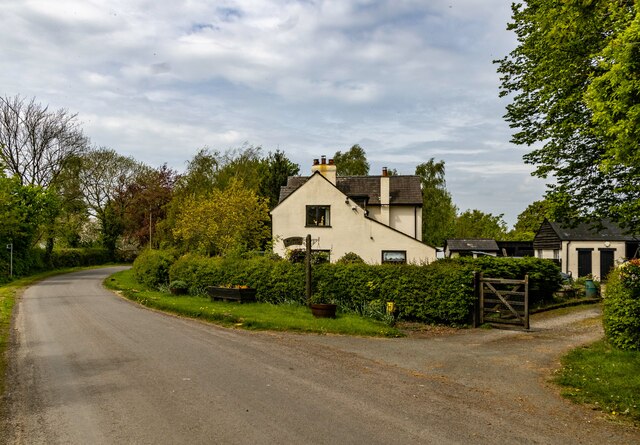
Castletown is also home to a number of charming cottages and traditional houses, giving it a quaint and traditional feel. The village's streets are lined with well-maintained gardens and green spaces, creating a pleasant environment for its residents.

Despite its small size, Castletown benefits from good transport links, with nearby access to major roads such as the A51 and A500. This allows residents to easily commute to neighboring towns and cities for employment or leisure purposes.

While the village lacks significant commercial amenities, it boasts a strong sense of community. Local events and gatherings are held regularly, providing opportunities for residents to socialize and engage with each other.

In conclusion, Castletown is a charming and peaceful village in Cheshire, offering a tranquil countryside setting, a rich history, and a close-knit community.

If you have any feedback on the listing, please let us know in the comments section below.
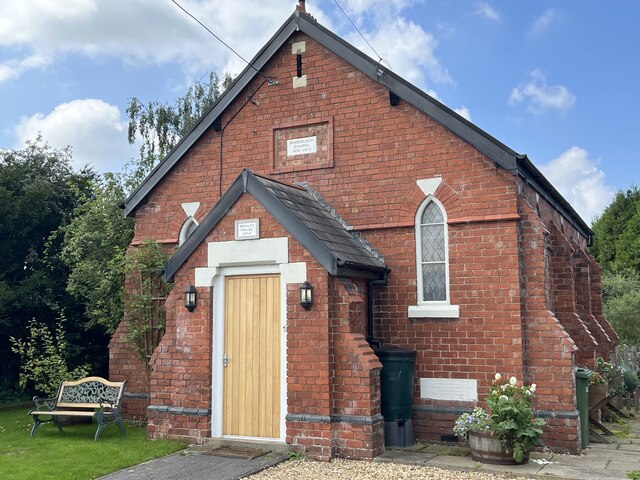
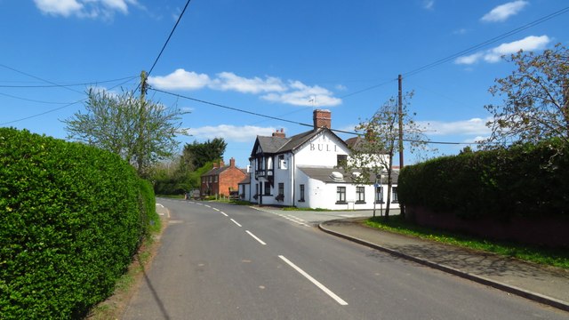
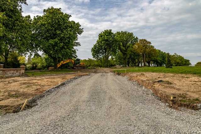
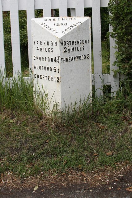
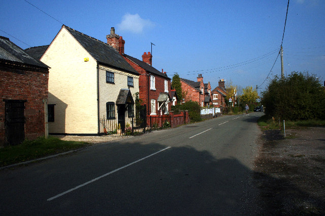
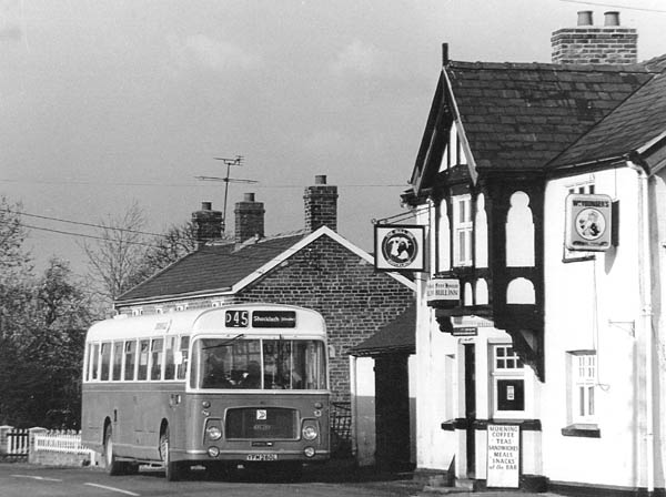
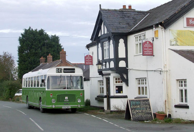
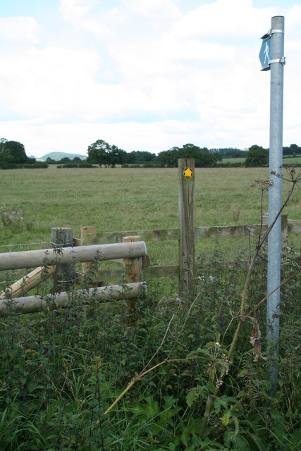
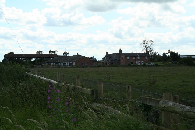
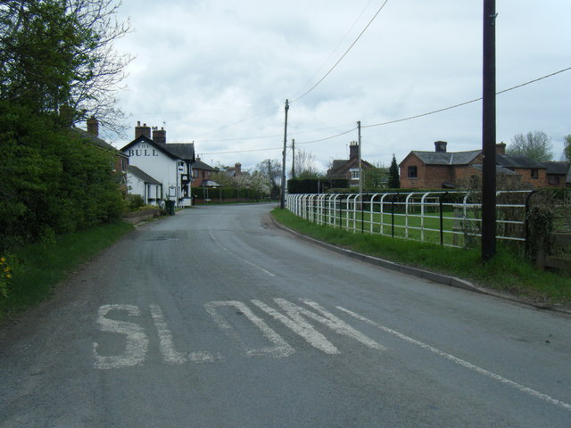
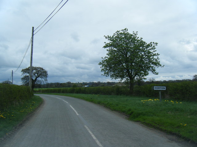
Castletown Images

Images are sourced within 2km of 53.054337/-2.84173 or Grid Reference SJ4351. Thanks to Geograph Open Source API. All images are credited.

Former Methodist Chapel Built 1890, closed 2013. Now a private residence.
Former Methodist Chapel
Built 1890, closed 2013. Now a private residence.
The Bull Public House at Shocklach
Grafton Hall New access to Grafton Hall.
Grafton Hall
New access to Grafton Hall.
Wetreins Cottage
Wetreins Cottage
Wetreins Lane Field access off Wetreins Lane.
Wetreins Lane
Field access off Wetreins Lane.
St Edith's Church, Shocklach
St Edith's Church, Shocklach: the west end
St Edith's Church, Shocklach
Old Milepost by the former B5130 in Shocklach Cast iron post by the UC road (was B5130), in parish of Church Shocklach (Chester District), Shocklach village, on the verge back to wooden fence, on West side of road. Cast iron CCC1898, erected by the County Council in the 19th century. 

Inscription reads:-
: FARNDON / 4 MILES / CHURTON / 4¾ MILE / ALDFORD 6½ / CHESTER 12 : : CHESHIRE / 1898 / COUNTY COUNCIL : : WORTHENBURY / 2½ MILES / THREAPWOOD 3 :
Maker:-
: W H SMITH & CO / MAKERS / WHITCHURCH :

Milestone Society National ID: CH_CHTP12
Old Milepost by the former B5130 in Shocklach
Cast iron post by the UC road (was B5130), in parish of Church Shocklach (Chester District), Shocklach village, on the verge back to wooden fence, on West side of road. Cast iron CCC1898, erected by the County Council in the 19th century. Inscription reads:- : FARNDON / 4 MILES / CHURTON / 4¾ MILE / ALDFORD 6½ / CHESTER 12 : : CHESHIRE / 1898 / COUNTY COUNCIL : : WORTHENBURY / 2½ MILES / THREAPWOOD 3 : Maker:- : W H SMITH & CO / MAKERS / WHITCHURCH : Milestone Society National ID: CH_CHTP12
Houses along the main road in Shocklach This photo is taken in a northerly direction heading up the road towards Farndon. The old village hall is in middle of the photo (behind the red brick house).
Houses along the main road in Shocklach
This photo is taken in a northerly direction heading up the road towards Farndon. The old village hall is in middle of the photo (behind the red brick house).
Shocklach Bull Inn 1985 Crosville Bristol RELL6G ERG280 paused outside the Bull Inn, Shocklach on 20 April 1985 whilst meandering around the lanes of Cheshire on service D45 from Wrexham. The photographer was a passenger on the service who took his cue to photograph the scene when the driver turned off the engine for a few minutes.

The vehicle was rescued for preservation after being taken out of service, and paid a return visit in 2006 in its restored state. <a href="https://www.geograph.org.uk/photo/456108">SJ4349 : Shocklach Bull Inn 2006</a>
Shocklach Bull Inn 1985
Crosville Bristol RELL6G ERG280 paused outside the Bull Inn, Shocklach on 20 April 1985 whilst meandering around the lanes of Cheshire on service D45 from Wrexham. The photographer was a passenger on the service who took his cue to photograph the scene when the driver turned off the engine for a few minutes. The vehicle was rescued for preservation after being taken out of service, and paid a return visit in 2006 in its restored state. SJ4349 : Shocklach Bull Inn 2006
Shocklach Bull Inn 2006 Compare this view taken in 2006 with that taken in 1985 <a href="https://www.geograph.org.uk/photo/456090">SJ4349 : Shocklach Bull Inn 1985</a>
It is the same bus in the same location 21½ years later. The bus is no longer in service, it is preserved with a private owner whose kind co-operation in recreating the scene is acknowledged.
Shocklach Bull Inn 2006
Compare this view taken in 2006 with that taken in 1985 SJ4349 : Shocklach Bull Inn 1985 It is the same bus in the same location 21½ years later. The bus is no longer in service, it is preserved with a private owner whose kind co-operation in recreating the scene is acknowledged.
Towards the Cape.
Towards the Cape.
Parr Green Hall A mixture of building styles.
Parr Green Hall
A mixture of building styles.
Shocklach looking towards the Bull Inn
Lane east of Shocklach at Horton village boundary
Parr Green Lane Parr Green Lane between Horton Green and Shocklach.
Parr Green Lane
Parr Green Lane between Horton Green and Shocklach.
Brook near Horton Green Brook flowing under Parr Green Lane.
Brook near Horton Green
Brook flowing under Parr Green Lane.
Show me another place!

Castletown is located at Grid Ref: SJ4351 (Lat: 53.054337, Lng: -2.84173)

Unitary Authority: Cheshire West and Chester

Police Authority: Cheshire

What 3 Words

///riverboat.relaxing.master. Near Holt, Wrexham

Nearby Locations

Castletown

Related Wikis

Castletown, Cheshire

Castletown in the civil parish of Shocklach Oviatt and District, in Cheshire, England is a deserted village located at SJ43885110 whose sole remains are...

Caldecott, Cheshire

Caldecott is a former civil parish, now in the parish of Shocklach Oviatt and District, in the Borough of Cheshire West and Chester and ceremonial county...

Grafton, Cheshire

Grafton is a former civil parish, now in the parish of Tilston, in the Cheshire West and Chester district and ceremonial county of Cheshire in England...

St Edith's Church, Shocklach

St Edith's Church, Shocklach, stands at the end of an isolated lane running toward the River Dee about 1 mile (2 km) to the north of the village of Shocklach...

Church Shocklach

Church Shocklach is a former civil parish, now in the parish of Shocklach Oviatt and District, in the Borough of Cheshire West and Chester and ceremonial...

Shocklach Oviatt and District

Shocklach Oviatt and District is a civil parish in the Cheshire West and Chester unitary authority, in the county of Cheshire, England. The parish was...

Stretton Hall, Cheshire

Stretton Hall is a country house in the parish of Stretton in Cheshire, England. It was built in about 1763 for John Leche. The house is constructed...

Shocklach

Shocklach is a village in the civil parish of Shocklach Oviatt and District, in the Cheshire West and Chester district, in the county of Cheshire, England...

Nearby Amenities

Located within 500m of 53.054337,-2.84173
Barrier: stile
Lat/Long: 53.0564867/-2.8474551
Barrier: stile
Lat/Long: 53.0543364/-2.841942
Barrier: stile
Lat/Long: 53.0551063/-2.8452331
Barrier: stile
Lat/Long: 53.0541435/-2.8396112
Barrier: stile
Lat/Long: 53.0535373/-2.8391999
The data included in this document is from www.openstreetmap.org. The data is made available under ODbL.

Have you been to Castletown?

Leave your review of Castletown below (or comments, questions and feedback).