Broadeye
Settlement in Staffordshire Stafford
England
Broadeye
Broadeye is a small village located in the county of Staffordshire, England. Situated approximately 5 miles northeast of the town of Stafford, it is nestled amidst picturesque countryside and offers a tranquil and peaceful setting for its residents.
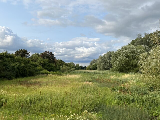
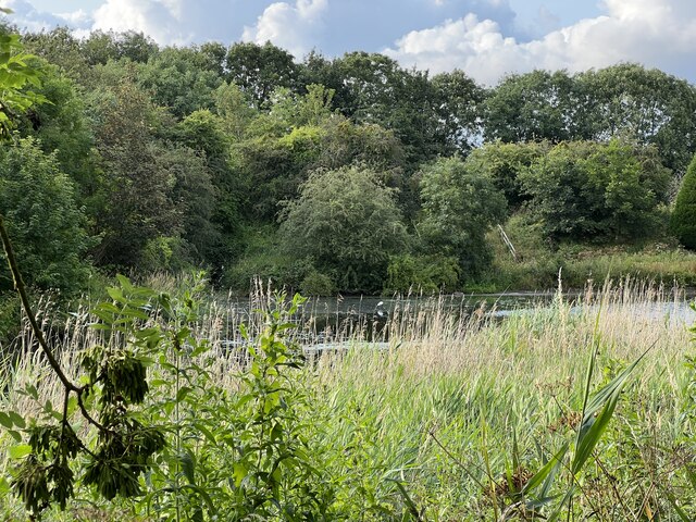
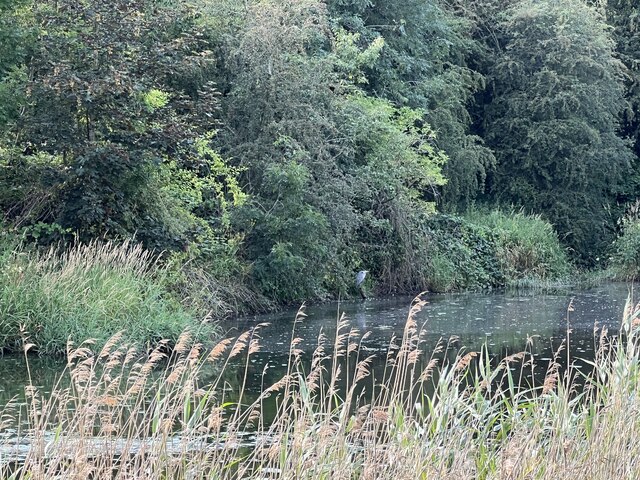
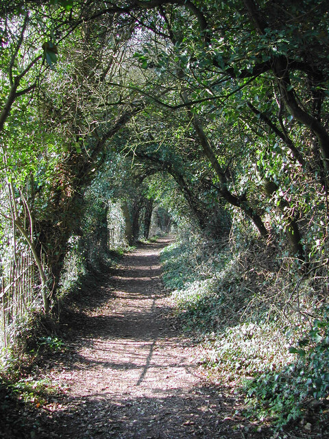
The village is known for its stunning natural beauty, with rolling green hills, meandering streams, and charming woodlands. It provides a delightful escape from the hustle and bustle of city life, making it a popular destination for those seeking a relaxing retreat.
Broadeye has a tight-knit community, with a population of around 500 residents. The village is predominantly residential, with a scattering of traditional cottages and modern houses. These homes are surrounded by well-maintained gardens and offer breathtaking views of the surrounding landscape.
Although small, Broadeye boasts a range of amenities to cater to its residents' needs. These include a local primary school, a village hall, and a quaint church that dates back several centuries. The village also has a few small businesses, including a convenience store and a cozy pub, which serves as a social hub for locals and visitors alike.
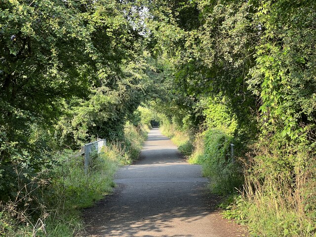
For outdoor enthusiasts, Broadeye offers plenty of opportunities for leisure activities. The village is surrounded by numerous walking trails and cycling routes, allowing residents to explore the stunning Staffordshire countryside. Additionally, the nearby Cannock Chase, an Area of Outstanding Natural Beauty, attracts visitors with its abundance of wildlife and scenic vistas.
In conclusion, Broadeye is a charming village in Staffordshire that offers a peaceful and idyllic lifestyle in a picturesque setting. With its close-knit community, beautiful countryside, and range of amenities, it is an excellent place to call home for those seeking a tranquil retreat.
If you have any feedback on the listing, please let us know in the comments section below.
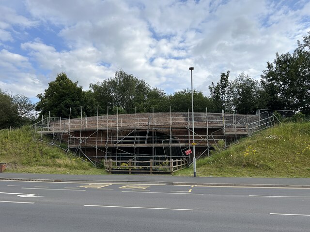
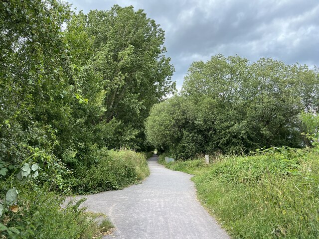
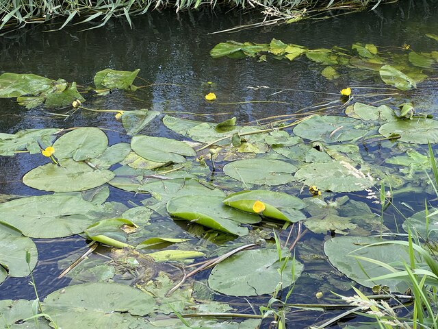
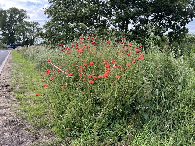
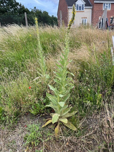
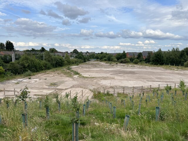
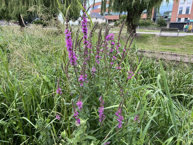
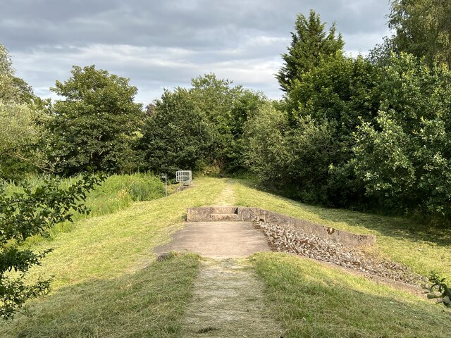
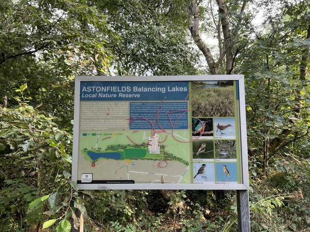
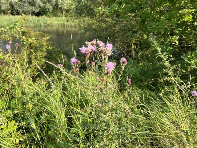
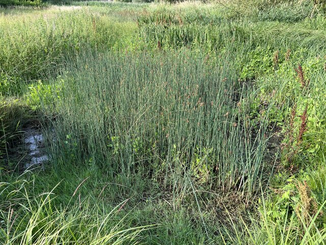
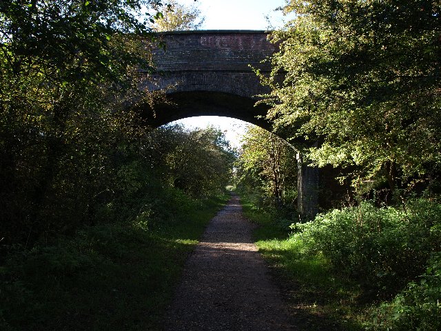
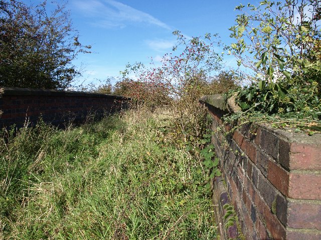
Broadeye Images
Images are sourced within 2km of 52.806935/-2.122504 or Grid Reference SJ9123. Thanks to Geograph Open Source API. All images are credited.
Broadeye is located at Grid Ref: SJ9123 (Lat: 52.806935, Lng: -2.122504)
Administrative County: Staffordshire
District: Stafford
Police Authority: Staffordshire
What 3 Words
///saves.shows.sting. Near Stafford, Staffordshire
Nearby Locations
Related Wikis

Stafford College
Stafford College is a large provider of further and higher education based in Stafford, England. The college campus is on Earl Street in Stafford Town...
Stafford power station
Stafford power station supplied electricity to the town of Stafford, England and the surrounding area from 1895 to 1958. It was initially owned and operated...
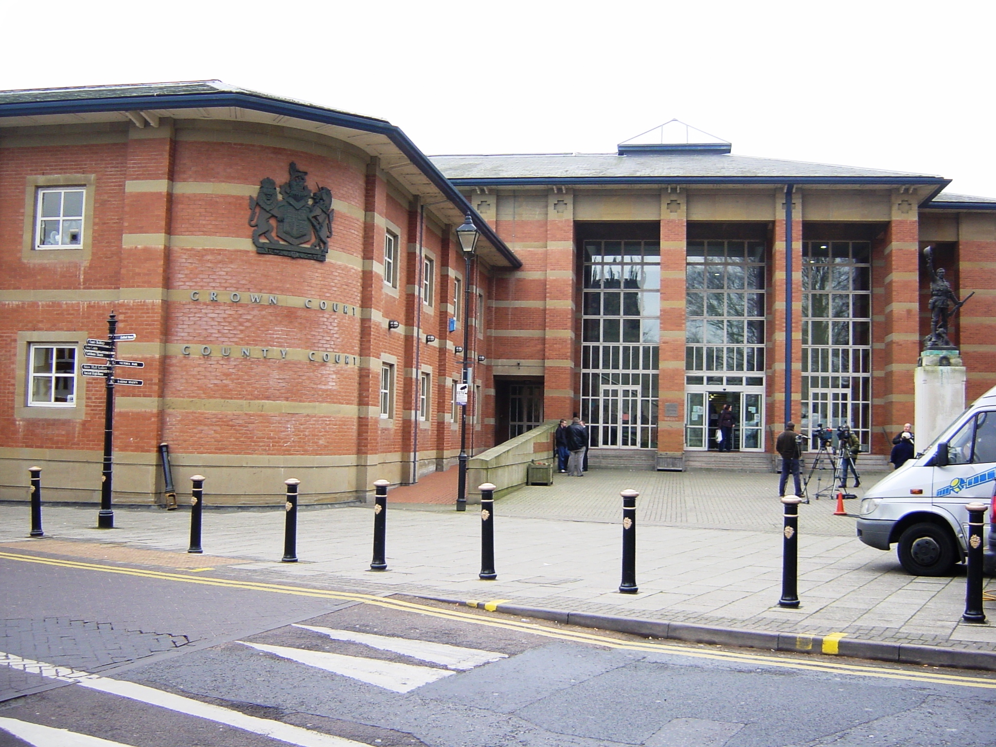
Stafford Combined Court Centre
The Stafford Combined Court Centre is a Crown Court venue, which deals with criminal cases, as well as a County Court venue, which deals with civil cases...
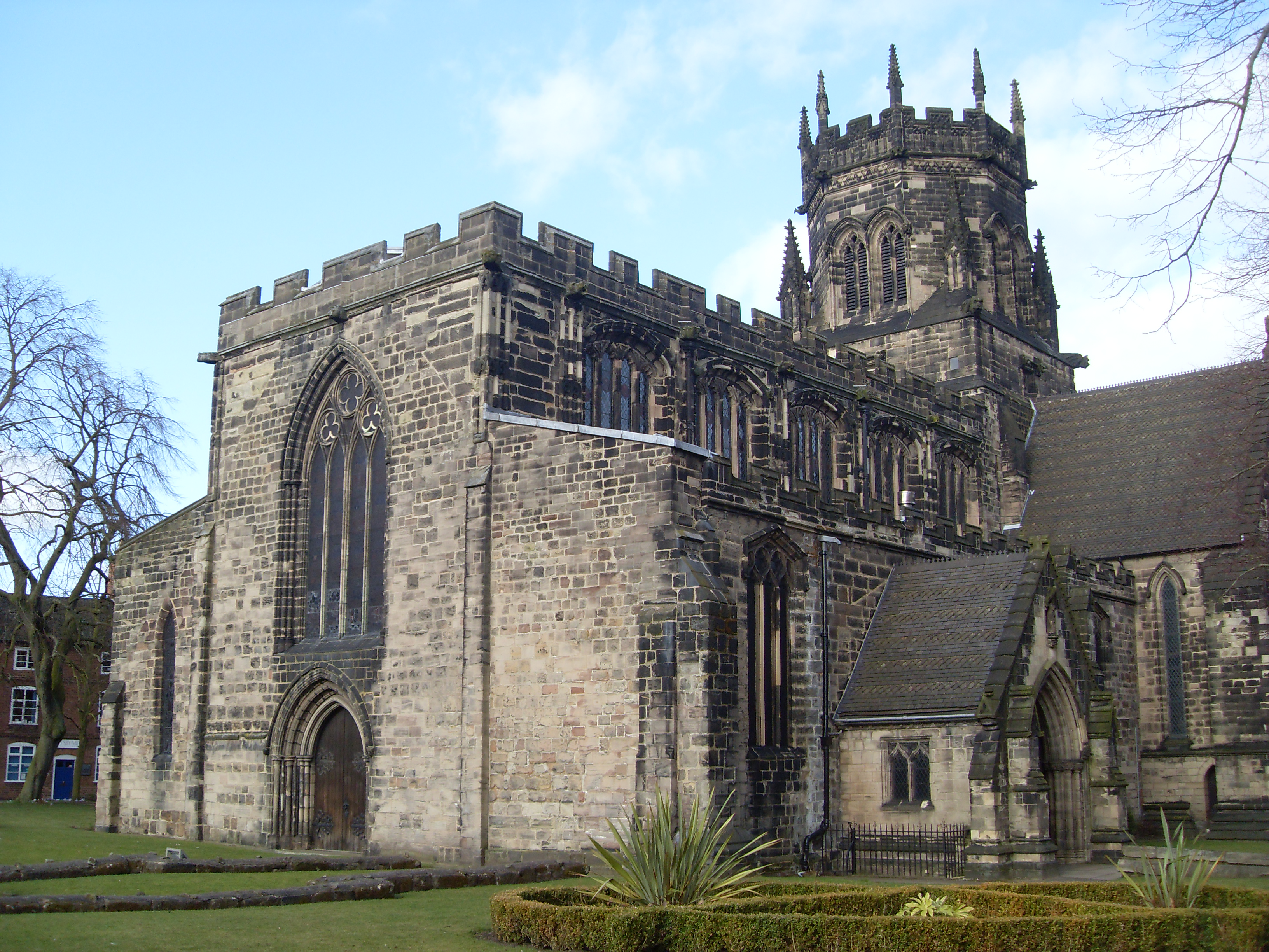
St Mary's Church, Stafford
St Mary's Church, Stafford is a Grade I listed parish church in Stafford, Staffordshire, England. == History == The church dates from the early 13th century...

Ancient High House
The Ancient High House is an Elizabethan town house located on the main street in Stafford. The house was constructed in 1595 by the Dorrington family...

Stafford
Stafford () is a market town and the county town of Staffordshire, in the West Midlands region of England. It lies about 15 miles (24 km) north of Wolverhampton...

Stafford railway station
Stafford railway station is a major interchange railway station in Stafford, Staffordshire, England, and is the second busiest railway station in Staffordshire...
Shire Hall, Stafford
The Shire Hall is a public building in Stafford, England, completed in 1798 to a design by John Harvey. Formerly a courthouse, it housed an art gallery...
Related Videos

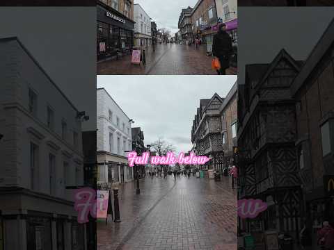
A Walk Down Stafford High Street, UK in 4K
Stafford High Street. February 2024 #walk #stafford #staffordhighstreet.

Choo Choo to Isabel Trail parkrun tourism adventure
I was joined by Ewan rather than Iona this week for our parkrun tourism adventure and we visited Isabel Trail parkrun in Stafford.
Nearby Amenities
Located within 500m of 52.806935,-2.122504Have you been to Broadeye?
Leave your review of Broadeye below (or comments, questions and feedback).