Broad Layings

Settlement in Hampshire Basingstoke and Deane

England

Broad Layings

A34 Newbury bypass over Wash Water road A34 Newbury bypass over Wash Water road
A34 Newbury bypass over Wash Water road Credit: Tim Booth

Broad Layings is a small village located in the county of Hampshire, England. Situated in the picturesque South Downs National Park, it is surrounded by rolling hills, lush green meadows, and idyllic countryside scenery. The village is nestled within close proximity to other charming towns such as Petersfield and Winchester.

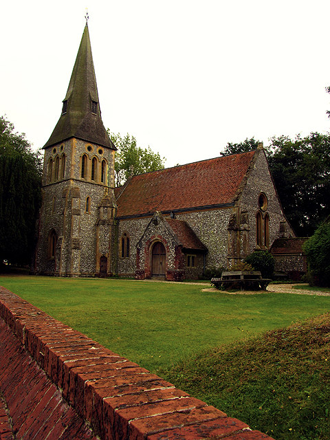
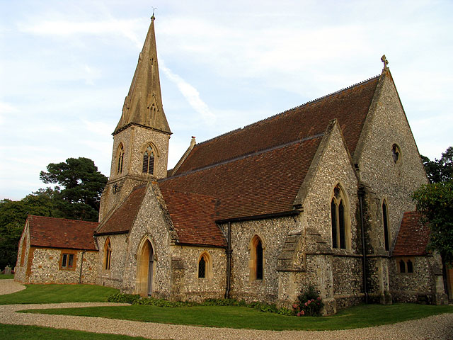
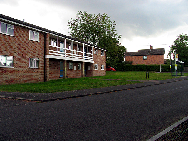
With a population of approximately 500 residents, Broad Layings maintains a tight-knit community atmosphere. The village is characterized by its traditional architecture, featuring a mix of historic cottages and newer developments. The local church, St. Mary's, stands as a prominent landmark and serves as the hub for community gatherings and events.

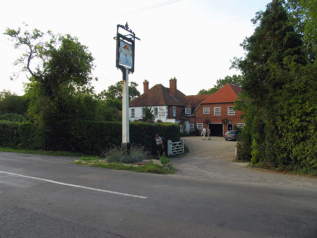
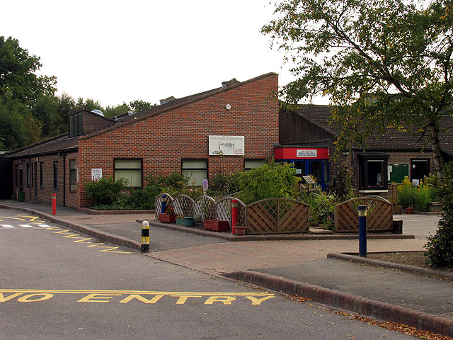
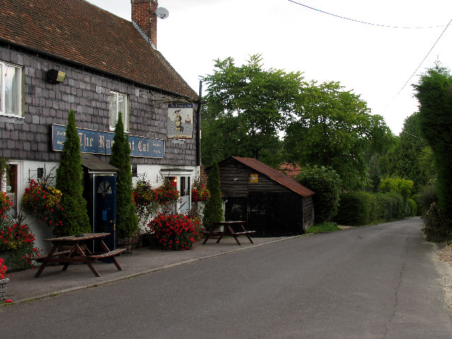
Despite its small size, Broad Layings offers a range of amenities to its residents. These include a village hall, a primary school, a post office, and a local pub, serving as the social center of the community. The village also boasts a variety of recreational opportunities, with numerous walking and cycling trails weaving through the picturesque countryside.

Broad Layings is well-positioned for those seeking a rural lifestyle while still being within easy reach of urban centers. The village benefits from excellent transport links, with nearby major road networks connecting it to surrounding areas. Additionally, the nearby train stations of Petersfield and Winchester provide convenient access to London and other major cities.

Overall, Broad Layings is a charming village that offers a tranquil and scenic living environment, appealing to those seeking a peaceful retreat in the heart of the Hampshire countryside.

If you have any feedback on the listing, please let us know in the comments section below.

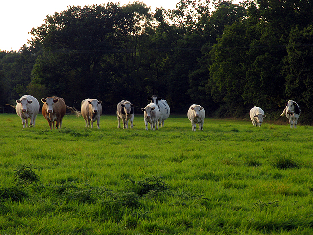
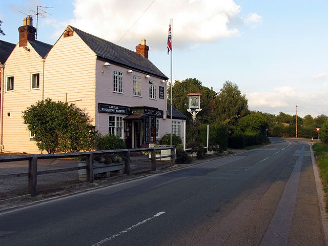
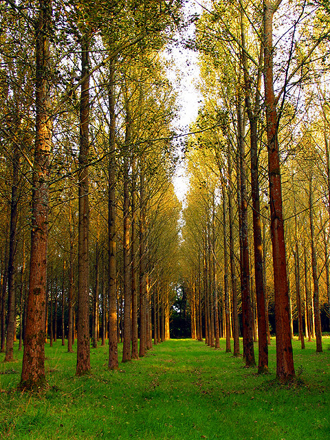
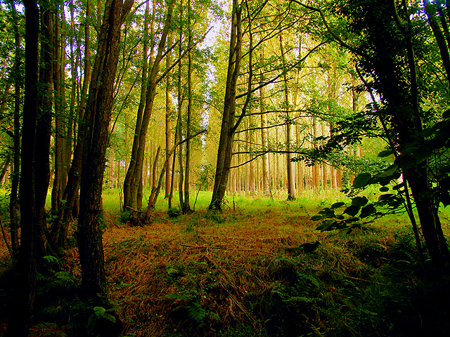
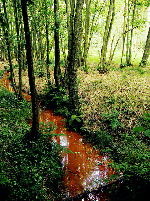
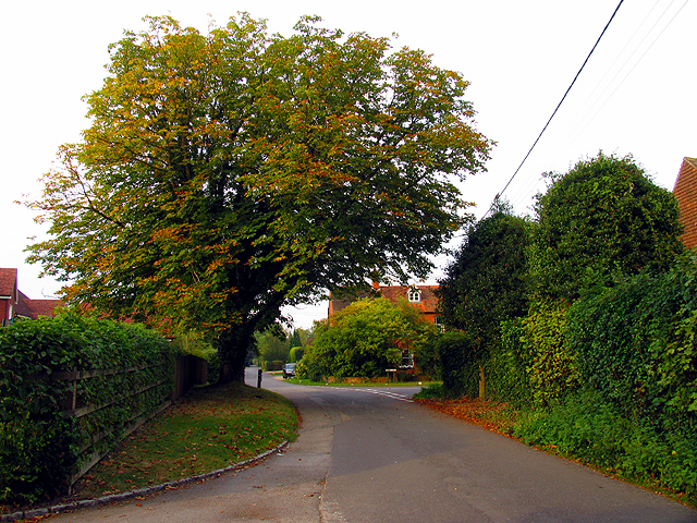
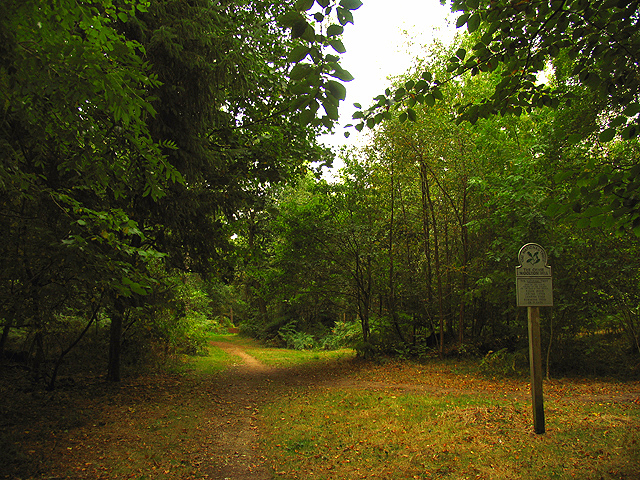
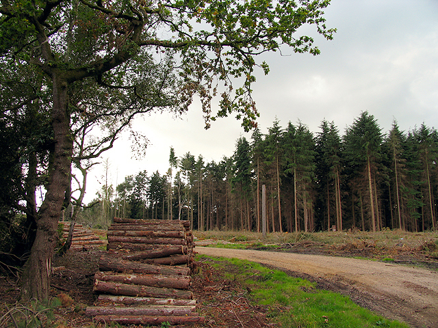
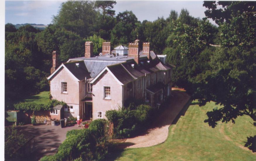
Broad Layings Images

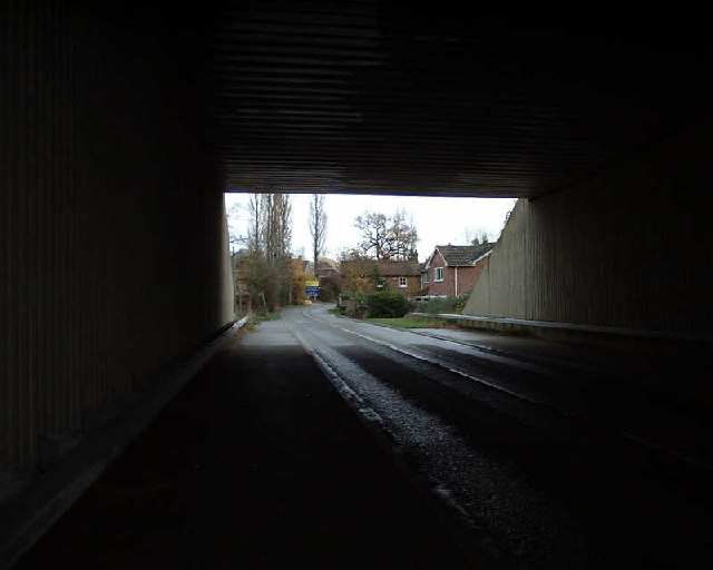
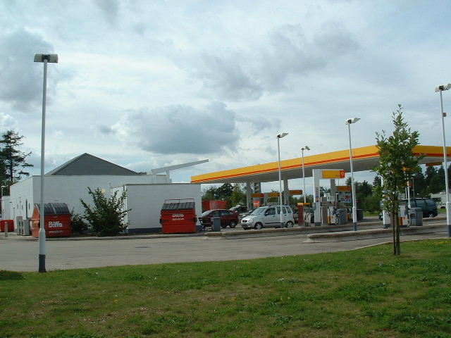
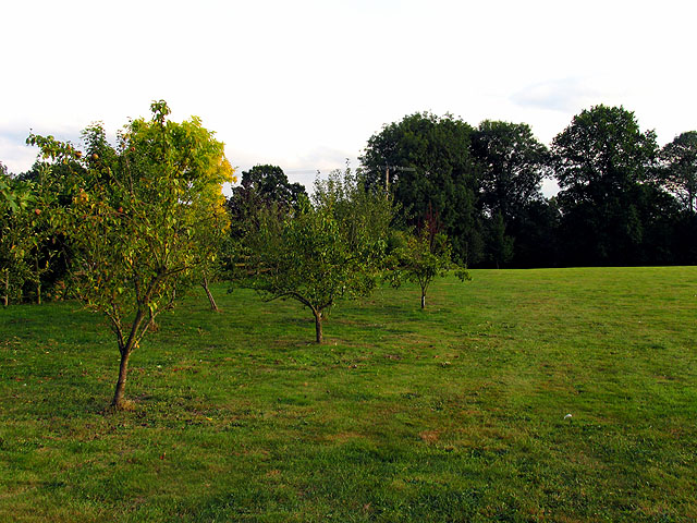
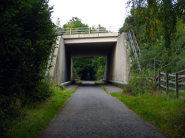
Images are sourced within 2km of 51.357689/-1.3731129 or Grid Reference SU4362. Thanks to Geograph Open Source API. All images are credited.

A34 Newbury bypass over Wash Water road A34 Newbury bypass over Wash Water road
A34 Newbury bypass over Wash Water road
Tot Hill Services Looking NW
Tot Hill Services
Looking NW
Orchard at Ball Hill This square although mostly farmland also contains the village of Ball Hill. This orchard lies immediately south of the minor road in the southern half of the square.
Orchard at Ball Hill
This square although mostly farmland also contains the village of Ball Hill. This orchard lies immediately south of the minor road in the southern half of the square.
Main Road through Ball Hill This is the main road through Ball Hill, taken from the south side looking towards the Furze Inn, marked as PH on the 1:50 000 map. It is an integral part of the village of Ball Hill.
Main Road through Ball Hill
This is the main road through Ball Hill, taken from the south side looking towards the Furze Inn, marked as PH on the 1:50 000 map. It is an integral part of the village of Ball Hill.
Pasture near Wash Water This pasture is on the north side of the minor road in the southern half of the square. Most of the square is farmland.
Pasture near Wash Water
This pasture is on the north side of the minor road in the southern half of the square. Most of the square is farmland.
Wash Water Road near Enborne This is a view of the end of Wash Water road and the public house marked ph on the 1:50 000 map. The pub is on the north side of the road. The road joins the A343 to the right (east) of the pub and leads off the A343 to Enborne. This square contains some of the residential area of Wash Common and the key roads linking Enborne and Wash Water.
Wash Water Road near Enborne
This is a view of the end of Wash Water road and the public house marked ph on the 1:50 000 map. The pub is on the north side of the road. The road joins the A343 to the right (east) of the pub and leads off the A343 to Enborne. This square contains some of the residential area of Wash Common and the key roads linking Enborne and Wash Water.
Clere Wood near Highclere This square is a mixture of plantation and residential area. This section of plantation is the northern edge of Clere Wood in the southern half of the square.
Clere Wood near Highclere
This square is a mixture of plantation and residential area. This section of plantation is the northern edge of Clere Wood in the southern half of the square.
Clere Wood near Highclere This photograph was taken from the road looking more or less southeast.
Clere Wood near Highclere
This photograph was taken from the road looking more or less southeast.
Stream in Clere Wood This red stream with crystal clear water, is so coloured by what is probably a mat of bacteria and rust on the bed.
Stream in Clere Wood
This red stream with crystal clear water, is so coloured by what is probably a mat of bacteria and rust on the bed.
Highclere Church This square is mostly woodland, but this village church is on the western edge of the square, east of the entrance to Highclere castle estate and grounds.
Highclere Church
This square is mostly woodland, but this village church is on the western edge of the square, east of the entrance to Highclere castle estate and grounds.
Residential Area near Highclere This residential street showing early signs of impending autumn, is in the south eastern section of the square. The square contains the village of Highclere and is both residential and agricultural.
Residential Area near Highclere
This residential street showing early signs of impending autumn, is in the south eastern section of the square. The square contains the village of Highclere and is both residential and agricultural.
Woolton Hill County Junior School This school is near the intersection of the two minor roads, more or less in the centre of the square. The square both residential and agricultural. It contains the village of Woolton Hill.
Woolton Hill County Junior School
This school is near the intersection of the two minor roads, more or less in the centre of the square. The square both residential and agricultural. It contains the village of Woolton Hill.
A34(T) Bridge near Newtown This square is largely farmland and plantations belonging to the English Forestry commission. This bridge carries the A34(T) over one of the lanes passing through the forested area.
A34(T) Bridge near Newtown
This square is largely farmland and plantations belonging to the English Forestry commission. This bridge carries the A34(T) over one of the lanes passing through the forested area.
Woolton Hill Church This square is mostly farmland, with some residential areas linked to Woolton Hill village in the north eastern section of the square.
Woolton Hill Church
This square is mostly farmland, with some residential areas linked to Woolton Hill village in the north eastern section of the square.
Residential Area not far from Enborne This square is mostly residential area.
Residential Area not far from Enborne
This square is mostly residential area.
Country Road near Enborne This square is mostly residential and this road links Woolton Hill with Enborne via residential area.
Country Road near Enborne
This square is mostly residential and this road links Woolton Hill with Enborne via residential area.
The Chase: National Trust The Chase is managed by the National Trust and is in the southern half of the square.
The Chase: National Trust
The Chase is managed by the National Trust and is in the southern half of the square.
Brown Hill Plantation Logging time in the plantation managed by the English Forestry Commission.
Brown Hill Plantation
Logging time in the plantation managed by the English Forestry Commission.
Show me another place!

Broad Layings is located at Grid Ref: SU4362 (Lat: 51.357689, Lng: -1.3731129)

Administrative County: Hampshire

District: Basingstoke and Deane

Police Authority: Hampshire

What 3 Words

///jaunts.filled.cubic. Near Highclere, Hampshire

Related Wikis

Gainsborough Stud

Gainsborough Stud is a stud farm based in Woolton Hill, Hampshire, 3 miles (4.8 km) outside Newbury. It is owned by United Arab Emirates-based international...

Woolton Hill

Woolton Hill is a village in Hampshire, England, in the civil parish of East Woodhay. The village lies approximately 4 miles (6 km) south-west of the centre...

Bourne House, East Woodhay

Bourne House, East Woodhay, lies at the northwestern tip of the parish of Widehaye in the Evingar hundred, in Hampshire, England. == History == With an...

Penwood

Penwood is a village in the civil parish of Highclere in the Basingstoke and Deane district of Hampshire, England. Its nearest town is Newbury, which lies...

Nearby Amenities

Located within 500m of 51.357689,-1.3731129
Bus Stop
Blindmans Gate
Naptan AtcoCode: 1900HA010079
Naptan Bearing: NE
Naptan CommonName: Blindmans Gate
Naptan Crossing: Milking Bridge
Naptan NaptanCode: hamawptj
Naptan Street: A343
Naptan Verified: no
Source: naptan_import
Lat/Long: 51.3536946/-1.3702263
Bus Stop
Blindmans Gate
Naptan AtcoCode: 1900HA010080
Naptan Bearing: SW
Naptan CommonName: Blindmans Gate
Naptan Crossing: Milking Bridge
Naptan NaptanCode: hamawptw
Naptan Street: A343
Naptan Verified: no
Source: naptan_import
Lat/Long: 51.3536582/-1.370155
Bus Stop
Broad Laying Stores
Naptan AtcoCode: 1900HA010081
Naptan Bearing: NW
Naptan CommonName: Broad Laying Stores
Naptan Crossing: Douglas Ride
Naptan NaptanCode: hamawmwg
Naptan Street: Unamed Crossroad
Naptan Verified: no
Source: naptan_import
Lat/Long: 51.3579162/-1.3739792
Bus Stop
Broad Laying Stores
Naptan AtcoCode: 1900HA010082
Naptan Bearing: N
Naptan CommonName: Broad Laying Stores
Naptan Crossing: Unamed Crossroad
Naptan NaptanCode: hamawmwa
Naptan Street: Douglas Ride
Naptan Verified: no
Source: naptan_import
Lat/Long: 51.3581671/-1.3742295
Pub
The Rampant Cat
Lat/Long: 51.3586679/-1.3740744
Post Box
Operator: Royal Mail
Post Box Type: pillar
Ref: RG20 45
Royal Cypher: EIIR
Royal Cypher Wikidata: Q33102113
Lat/Long: 51.3579711/-1.3743477
Post Office
Woolton Hill Post Office
Addr Postcode: RG20 9TR
Branch: Woolton Hill
Brand: Post Office
Brand Wikidata: Q1783168
Check Date: 2020-02-20
Contact Website: https://www.postoffice.co.uk/branch-finder/2079399/woolton-hill
Ref Pol Id: 7392
Shop: convenience
Lat/Long: 51.3579099/-1.3743847
Barrier: kissing_gate
Lat/Long: 51.3597095/-1.3724921
Post Box
Operator: Royal Mail
Post Box Type: wall
Ref: RG20 4D
Royal Cypher: EIIR
Royal Cypher Wikidata: Q33102113
Lat/Long: 51.3567367/-1.3798732
Ford: yes
Lat/Long: 51.3611778/-1.370651
Ford: yes
Lat/Long: 51.3607856/-1.3717205
The data included in this document is from www.openstreetmap.org. The data is made available under ODbL.

Have you been to Broad Layings?

Leave your review of Broad Layings below (or comments, questions and feedback).