Blazehill Plantation
Wood, Forest in Fife
Scotland
Blazehill Plantation
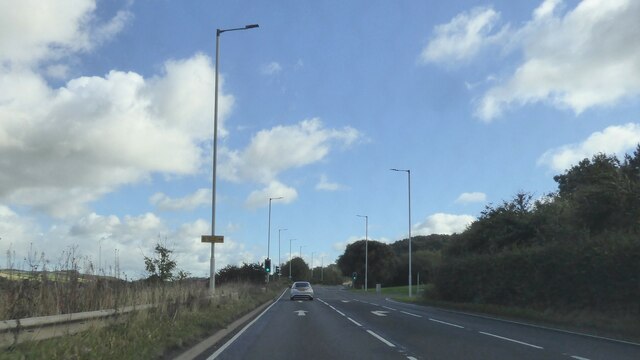
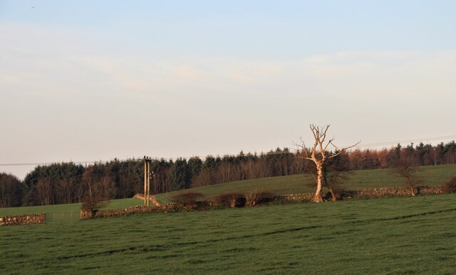
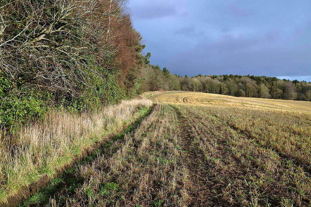
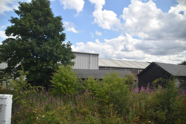
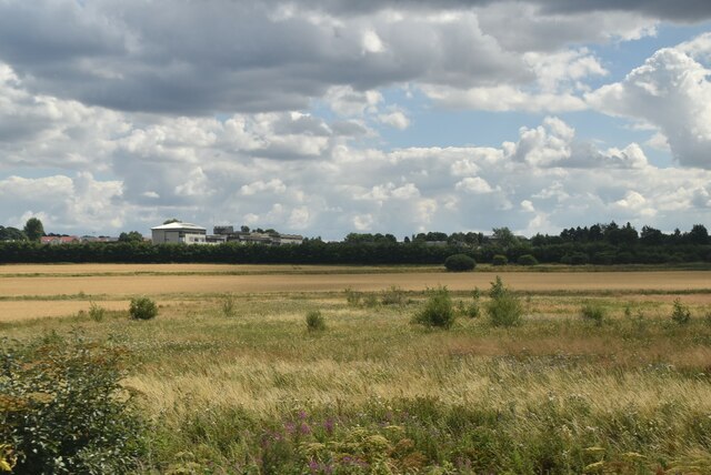
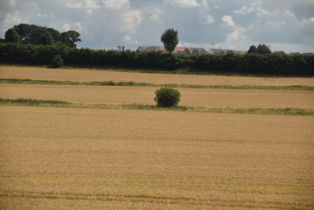
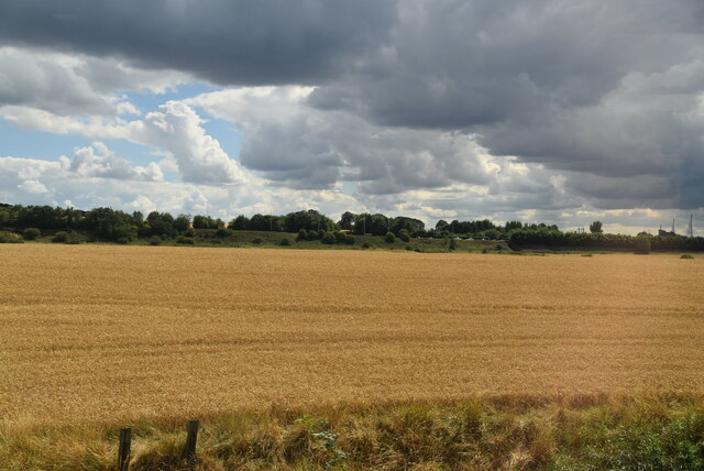
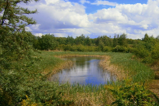
Blazehill Plantation, located in Fife, Scotland, is a sprawling woodland area that spans approximately 200 acres. Situated in a picturesque setting, the plantation is renowned for its diverse range of flora and fauna, making it a popular destination for nature enthusiasts and outdoor enthusiasts alike.
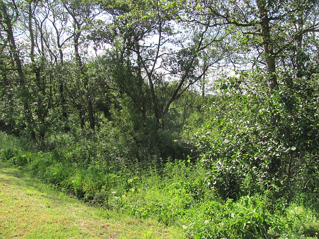
The woodland is predominantly composed of native tree species, with a dense canopy of oak, beech, and birch trees dominating the landscape. These towering trees provide a haven for numerous bird species, such as woodpeckers, owls, and various songbirds, making it a haven for birdwatchers. Additionally, the woodland floor is carpeted with a variety of wildflowers, adding a splash of color to the surroundings.
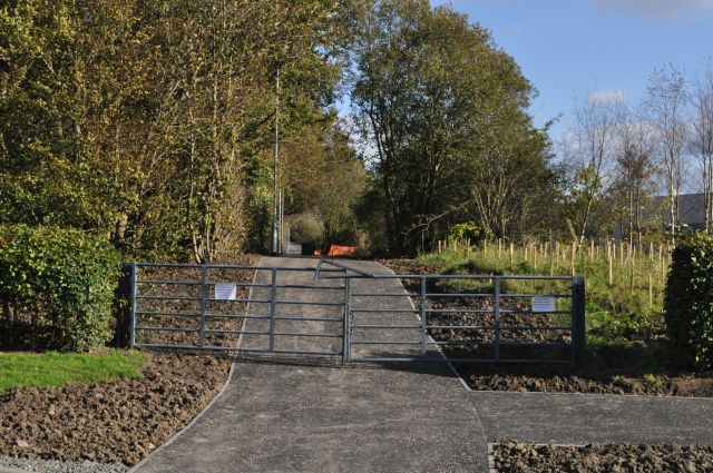
Blazehill Plantation also offers several well-maintained trails and paths, allowing visitors to explore the woodland at their own pace. These paths wind through the plantation, offering scenic views of the surrounding countryside, and providing opportunities for walking, jogging, and cycling.
Furthermore, the plantation is home to a diverse range of wildlife, including deer, foxes, and rabbits. Nature lovers can often spot these animals while exploring the woodland, adding to the allure of the area.
Blazehill Plantation is a cherished natural resource in Fife, offering a tranquil and serene environment for individuals seeking respite from the hustle and bustle of daily life. With its diverse range of flora and fauna, well-maintained trails, and stunning views, it truly is a gem for those who appreciate the beauty of nature.
If you have any feedback on the listing, please let us know in the comments section below.
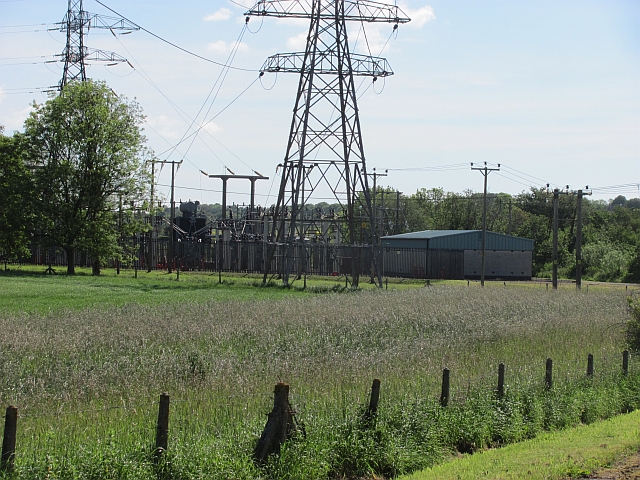
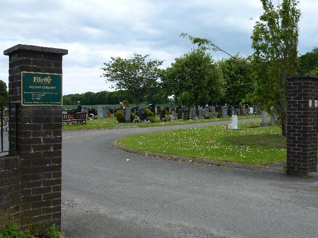
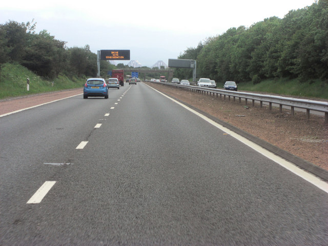
Blazehill Plantation Images
Images are sourced within 2km of 56.053692/-3.3791786 or Grid Reference NT1485. Thanks to Geograph Open Source API. All images are credited.


Blazehill Plantation is located at Grid Ref: NT1485 (Lat: 56.053692, Lng: -3.3791786)
Unitary Authority: Fife
Police Authority: Fife
What 3 Words
///usual.soap.replayed. Near Inverkeithing, Fife
Related Wikis
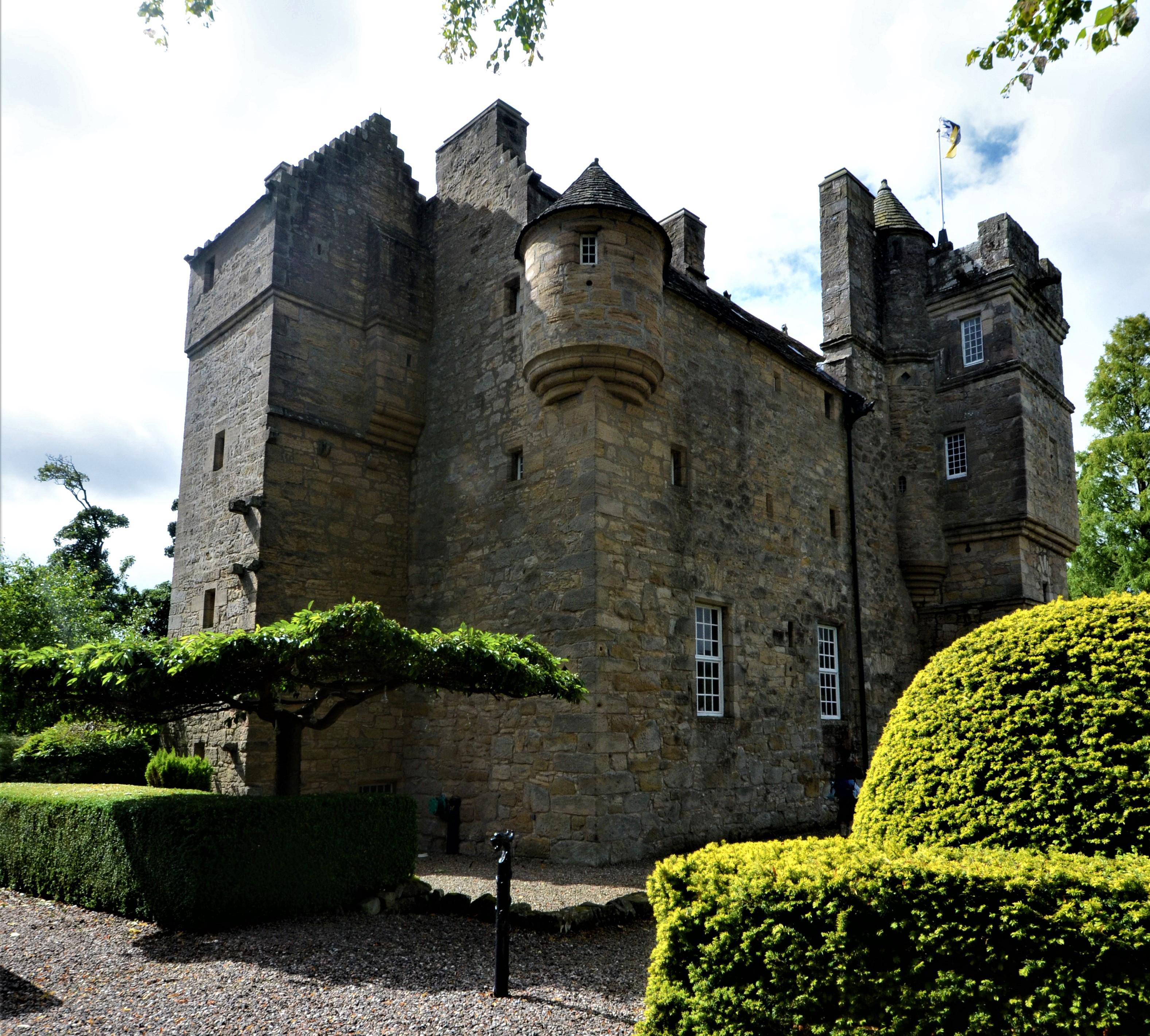
Fordell Castle
Fordell Castle is a restored 16th-century tower house, located 1.25 miles (2.01 km) north-west of Dalgety Bay and 2 miles (3.2 km) east of Dunfermline...

Dalgety Bay
Dalgety Bay ( ) is a coastal town and parish in Fife, Scotland. According to Fife Council, the town is home to , making this the eighth-largest place...

Dalgety Bay railway station
Dalgety Bay railway station serves the town of Dalgety Bay in Fife, Scotland. Lying on the Fife Circle and EdinburghーDundee lines, it is managed by ScotRail...

Hillend, Fife
Hillend is a small village in Fife, Scotland. It is located roughly to the north-west of Dalgety Bay. It is the location of Heil's manufacturing facilities...

Wellwood, Fife
Wellwood is a small village to the north of Dunfermline, Fife, Scotland. It was named after the Wellwoods who used to own coalmines in the area. It has...

Abbeyview
Abbeyview is a housing estate in the town of Dunfermline in Fife, Scotland. It is situated in the east of the town, approximately 2 miles from the town...

Duloch
Duloch ( DOO-lokh), or Duloch Park, is a residential suburb of Dunfermline, in Fife, Scotland. The closest railway stations are Rosyth, Dunfermline Queen...
Inverkeithing High School
Inverkeithing High School is a secondary school located in Inverkeithing, a historic former port town on the Fife coast. The existing building dates from...
Nearby Amenities
Located within 500m of 56.053692,-3.3791786Have you been to Blazehill Plantation?
Leave your review of Blazehill Plantation below (or comments, questions and feedback).