Clockluine Wood
Wood, Forest in Fife
Scotland
Clockluine Wood
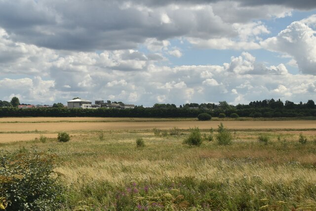
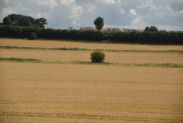
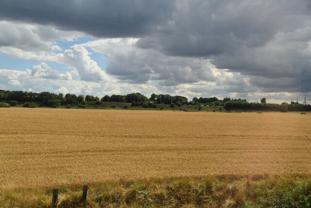
Clockluine Wood is a picturesque forest located in Fife, Scotland. Spread over an area of approximately 100 acres, the woodland is nestled in the heart of rural Fife, surrounded by rolling hills and serene countryside. It is a popular destination for nature enthusiasts, hikers, and those seeking a peaceful retreat from the hustle and bustle of city life.
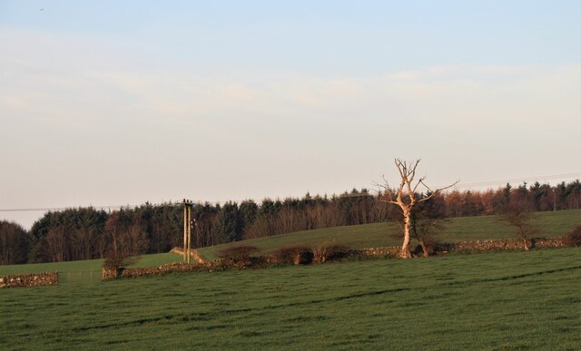
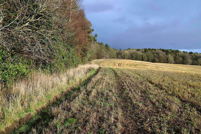
The wood is predominantly composed of native broadleaf trees, including oak, birch, and beech, which create a dense canopy overhead. This provides a habitat for a diverse range of flora and fauna, making it an important ecological site. Bluebells carpet the forest floor in spring, creating a stunning display of vibrant colors.
Clockluine Wood features numerous well-maintained walking trails, allowing visitors to explore the woodland at their own pace. The paths meander through the trees, crossing small streams and offering breathtaking views of the surrounding landscape. Along the way, benches and picnic areas are strategically placed, providing opportunities to rest and admire the tranquil surroundings.
The wood is also home to a variety of wildlife, including deer, foxes, and a wide range of bird species. Birdwatchers can spot woodpeckers, owls, and various songbirds throughout the year. The peaceful atmosphere and abundance of natural beauty make Clockluine Wood an ideal spot for photographers and artists seeking inspiration.
Overall, Clockluine Wood is a hidden gem in Fife, offering a peaceful retreat for nature lovers and a haven for the diverse flora and fauna that call it home.
If you have any feedback on the listing, please let us know in the comments section below.
Clockluine Wood Images
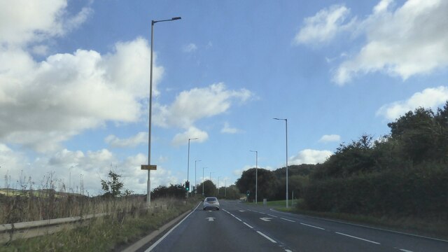
Images are sourced within 2km of 56.050747/-3.3773555 or Grid Reference NT1485. Thanks to Geograph Open Source API. All images are credited.


Clockluine Wood is located at Grid Ref: NT1485 (Lat: 56.050747, Lng: -3.3773555)
Unitary Authority: Fife
Police Authority: Fife
What 3 Words
///muddle.instincts.sardine. Near Inverkeithing, Fife
Related Wikis
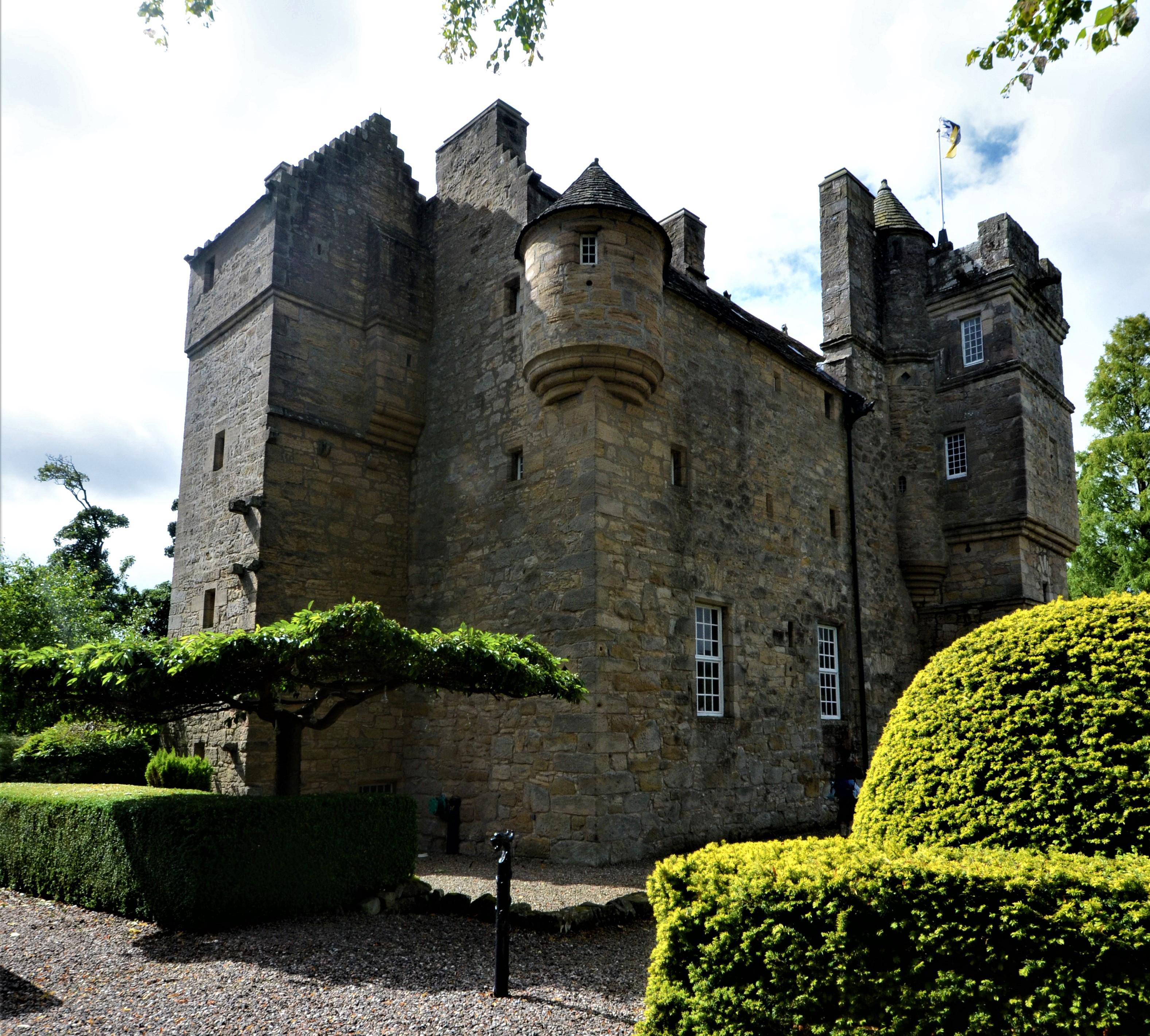
Fordell Castle
Fordell Castle is a restored 16th-century tower house, located 1.25 miles (2.01 km) north-west of Dalgety Bay and 2 miles (3.2 km) east of Dunfermline...

Dalgety Bay
Dalgety Bay ( ) is a coastal town and parish in Fife, Scotland, on the north shore of the Firth of Forth, 9 miles from Edinburgh city centre. The civil...

Dalgety Bay railway station
Dalgety Bay railway station serves the town of Dalgety Bay in Fife, Scotland. Lying on the Fife Circle and EdinburghーDundee lines, it is managed by ScotRail...

Hillend, Fife
Hillend is a small village in Fife, Scotland. It is located roughly to the north-west of Dalgety Bay. It is the location of Heil's manufacturing facilities...
Nearby Amenities
Located within 500m of 56.050747,-3.3773555Have you been to Clockluine Wood?
Leave your review of Clockluine Wood below (or comments, questions and feedback).