Calais Muir Wood

Wood, Forest in Fife

Scotland

Calais Muir Wood

Aberdour Road Looking east along Aberdour Road.
Aberdour Road Credit: Robert Struthers

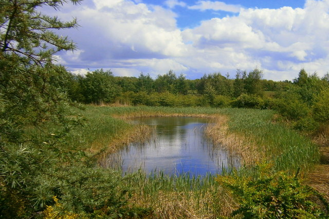
Calais Muir Wood is a picturesque forest located in Fife, Scotland. Covering an area of approximately 200 acres, the wood is situated just outside the town of Dunfermline. Its tranquil and serene atmosphere makes it a popular destination for nature enthusiasts, walkers, and families seeking a peaceful retreat.

The wood is primarily composed of mixed deciduous and coniferous trees, creating a diverse and visually appealing landscape. Towering Scots pines, oak, birch, and beech trees dominate the area, providing a rich canopy that creates a stunning display of colors throughout the seasons. The forest floor is carpeted with a variety of wildflowers, ferns, and mosses, adding to the enchanting ambiance.

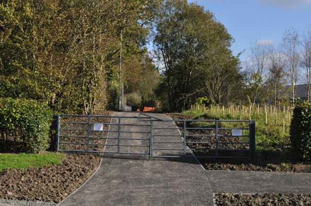
Several well-maintained walking trails meander through the wood, offering visitors the opportunity to explore its natural beauty. The paths cater to different fitness levels, making it accessible to people of all ages and abilities. Along the way, walkers may come across streams, small waterfalls, and wildlife, including deer, squirrels, and a variety of bird species.

Calais Muir Wood also boasts historical significance. It is believed to have been part of the ancient royal hunting forest, known as King's Wood, during the reign of King Malcolm III. The wood's name, Calais Muir, is derived from the French town of Calais, as it was gifted to the town by Mary of Guise, the mother of Mary, Queen of Scots.

Overall, Calais Muir Wood is a captivating natural haven, offering visitors a chance to immerse themselves in the beauty of Scotland's woodlands while enjoying the tranquility and serenity it provides.

If you have any feedback on the listing, please let us know in the comments section below.

Calais Muir Wood Images

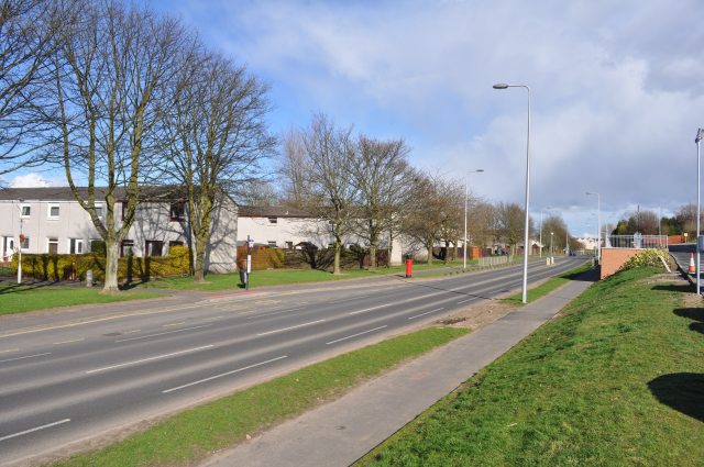
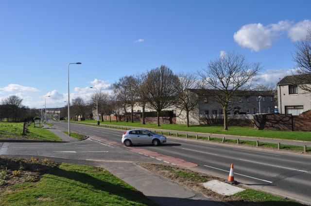
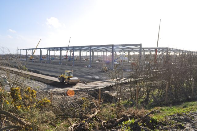
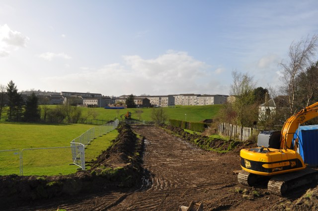
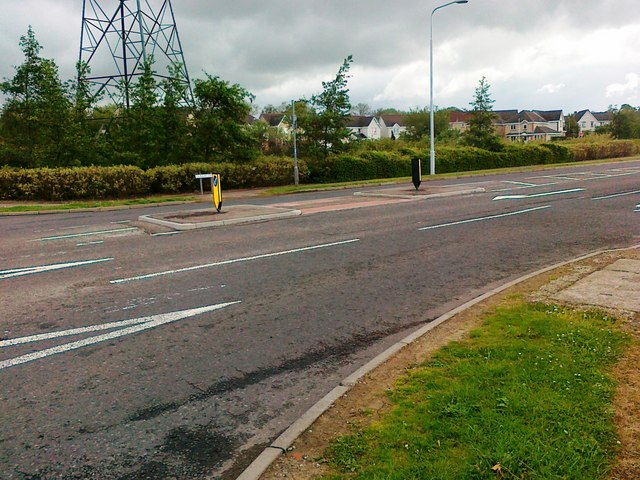
Images are sourced within 2km of 56.065813/-3.3983404 or Grid Reference NT1386. Thanks to Geograph Open Source API. All images are credited.

Aberdour Road Looking east along Aberdour Road.
Aberdour Road
Looking east along Aberdour Road.
Aberdour Road Looking west along Aberdour Road
Aberdour Road
Looking west along Aberdour Road
Under Construction Building a new distribution centre on the outskirts of the Dunfermline East expansion area. All this steelwork went up in the last four days.
Under Construction
Building a new distribution centre on the outskirts of the Dunfermline East expansion area. All this steelwork went up in the last four days.
Groundbreaking Preparing to lay new water pipes.
Groundbreaking
Preparing to lay new water pipes.
Shopping trolleys, Asda Shopping trolleys at ASDA in Dunfermline - hinting at the scale of retailing at a large supermarket. This is just one of several trolley stations at the Dunfermline store.
Shopping trolleys, Asda
Shopping trolleys at ASDA in Dunfermline - hinting at the scale of retailing at a large supermarket. This is just one of several trolley stations at the Dunfermline store.
Dunlin Drive, Dunfermline
M90 near Duloch In the distance, on this alignment of the southbound carriageway, are the towers of the Forth bridge.
M90 near Duloch
In the distance, on this alignment of the southbound carriageway, are the towers of the Forth bridge.
Suds pond at Calais Muir, Dunfermline. One of the many suds ponds in the Duloch estate.
Suds pond at Calais Muir, Dunfermline.
One of the many suds ponds in the Duloch estate.
Mail Order Warehouse The vast shed built on the outskirts of Dunfermline to accommodate a well-known mail-order distribution company. Even bigger than the nearby infamous Hyundai plant, this at least is going to provide jobs of a sort.
Mail Order Warehouse
The vast shed built on the outskirts of Dunfermline to accommodate a well-known mail-order distribution company. Even bigger than the nearby infamous Hyundai plant, this at least is going to provide jobs of a sort.
Footpath Revamp The signs on the gates inform us that 'This route will be temporarily closed to allow necessary work to be carried out', but doesn't indicate on whose authority it has been closed. The path runs alongside the new mail-order distribution centre being built on the western edge of the Dunfermline Expansion Area.
Footpath Revamp
The signs on the gates inform us that 'This route will be temporarily closed to allow necessary work to be carried out', but doesn't indicate on whose authority it has been closed. The path runs alongside the new mail-order distribution centre being built on the western edge of the Dunfermline Expansion Area.
Going, going... The infamous Hyundai plant falls to the wreckers' hammers, nearly 15 years after it was first built, and after untold millions of pounds of publicly-funded investment, in the hopes of spearheading a new era in semiconductor manufacture. Sadly, recent plans seem to indicate that it will become yet another housing estate.
Going, going...
The infamous Hyundai plant falls to the wreckers' hammers, nearly 15 years after it was first built, and after untold millions of pounds of publicly-funded investment, in the hopes of spearheading a new era in semiconductor manufacture. Sadly, recent plans seem to indicate that it will become yet another housing estate.
White Elephant's Graveyard The demolition of the Hyundai semiconductor plant (from which not a single atom of silicon ever came forth) is under way.
White Elephant's Graveyard
The demolition of the Hyundai semiconductor plant (from which not a single atom of silicon ever came forth) is under way.
M90 Junction 3 The exit slip road leaving the southbound M90 at junction 3.
M90 Junction 3
The exit slip road leaving the southbound M90 at junction 3.
Roadworks on the M90 The M90 is the northernmost motorway in the UK. The first section of the M90 opened in 1964 to coincide with the opening of the Forth Road Bridge and it is now the link between Queensferrry Crossing and Perth, meaning that it is the main route between Edinburgh and the north of Scotland.
Roadworks on the M90
The M90 is the northernmost motorway in the UK. The first section of the M90 opened in 1964 to coincide with the opening of the Forth Road Bridge and it is now the link between Queensferrry Crossing and Perth, meaning that it is the main route between Edinburgh and the north of Scotland.
Field near Vantage View from the edge of the field. Near Vantage/Fordell Castle
Field near Vantage
View from the edge of the field. Near Vantage/Fordell Castle
New Housing Under Construction Yet more green space disappears under the developer's product.
New Housing Under Construction
Yet more green space disappears under the developer's product.
Water Storage Tanks These tanks were part of the ill-fated Hyundai semiconductor plant. Never used, they now await the attentions of the demolition squad.
Water Storage Tanks
These tanks were part of the ill-fated Hyundai semiconductor plant. Never used, they now await the attentions of the demolition squad.
Growing Pile of Rubble Demolition of the Hyundai semiconductor plant.
Growing Pile of Rubble
Demolition of the Hyundai semiconductor plant.
Show me another place!

Calais Muir Wood is located at Grid Ref: NT1386 (Lat: 56.065813, Lng: -3.3983404)

Unitary Authority: Fife

Police Authority: Fife

What 3 Words

///students.circus.gifted. Near Crossgates, Fife

Related Wikis

Wellwood, Fife

Wellwood is a small village to the north of Dunfermline, Fife, Scotland. It was named after the Wellwoods who used to own coalmines in the area. It has...

Abbeyview

Abbeyview is a housing estate in the town of Dunfermline in Fife, Scotland. It is situated in the east of the town, approximately 2 miles from the town...

Duloch

Duloch ( DOO-lokh), or Duloch Park, is a residential suburb of Dunfermline, in Fife, Scotland. The closest railway stations are Rosyth, Dunfermline Queen...

St Columba's Roman Catholic High School, Dunfermline

St Columba's RC High School is a six-year comprehensive Roman Catholic secondary school, located in Dunfermline in Fife, Scotland. == History == The original...

Nearby Amenities

Located within 500m of 56.065813,-3.3983404
CALAIS3
Disused Man Made: petroleum_well
Ref GB Decc: LF/28-7
Source: DECC
Lat/Long: 56.062317/-3.4011489
SOUTHFOD1
Disused Man Made: petroleum_well
Ref GB Decc: LF/28-3
Source: DECC
Lat/Long: 56.069/-3.4007778
DULOCH2
Disused Man Made: petroleum_well
Ref GB Decc: LF/29-1
Source: DECC
Lat/Long: 56.0670278/-3.3915556
Crossing
Crossing: traffic_signals
Lat/Long: 56.0619567/-3.3954915
Bus Stop
Amazon Way
Bench: no
Shelter: no
Lat/Long: 56.0642891/-3.3932631
Power: tower
Lat/Long: 56.063139/-3.3951466
Power: tower
Lat/Long: 56.0643689/-3.3990445
Power: tower
Lat/Long: 56.0658034/-3.4035905
Library
Duloch Library
Opening Hours: Mo 13:00-17:00; Tu,We 09:00-12:30,13:30-17:00; Th 09:00-12:30,13:30-18:00; Sa 10:00-12:30,13:30-16:00; Su 12:00-16:00
Lat/Long: 56.0623091/-3.4025415
Crossing
Crossing: uncontrolled
Lat/Long: 56.0677054/-3.3910279
Crossing
Crossing: traffic_signals
Tactile Paving: yes
Lat/Long: 56.0645889/-3.3931643
Crossing
Crossing: unmarked
Tactile Paving: yes
Lat/Long: 56.0636565/-3.3933387
Bus Stop
Kyle Crescent
Bus: yes
Public Transport: platform
Lat/Long: 56.0616591/-3.3958654
Bus Stop
Lorn Place
Bus: yes
Public Transport: platform
Lat/Long: 56.0621472/-3.3953172
Bus Stop
Amazon Way
Bench: yes
Shelter: yes
Lat/Long: 56.0648344/-3.3931823
School
Duloch Primary School
Addr City: Dunfermline
Addr Postcode: KY11 8LW
Addr Street: Nightingale Place
Fhrs Id: 23253
Source Addr: FHRS Open Data
Lat/Long: 56.0620618/-3.4022624
Duloch Leisure Centre
Leisure: sports_centre
Lat/Long: 56.0621846/-3.4016562
Bench
Lat/Long: 56.0647596/-3.3940834
Artwork Type: statue
Material: wood
Tourism: artwork
Lat/Long: 56.0625623/-3.4012953
Generator Method: photovoltaic
Generator Output Electricity: yes
Generator Source: solar
Generator Type: solar_photovoltaic_panel
Power: generator
Lat/Long: 56.0614581/-3.3978717
Generator Method: photovoltaic
Generator Output Electricity: yes
Generator Source: solar
Generator Type: solar_photovoltaic_panel
Power: generator
Lat/Long: 56.0616694/-3.3965385
Generator Method: photovoltaic
Generator Output Electricity: yes
Generator Source: solar
Generator Type: solar_photovoltaic_panel
Power: generator
Lat/Long: 56.0619623/-3.4003379
Loading Dock
Lat/Long: 56.0637249/-3.3912145
Loading Dock
Lat/Long: 56.0642374/-3.3912359
Loading Dock
Lat/Long: 56.0641967/-3.3912342
Loading Dock
Lat/Long: 56.0641637/-3.3912329
Loading Dock
Lat/Long: 56.0641306/-3.3912315
Loading Dock
Lat/Long: 56.0640909/-3.3912298
Loading Dock
Lat/Long: 56.0640528/-3.3912282
Loading Dock
Lat/Long: 56.0640129/-3.3912265
Loading Dock
Lat/Long: 56.063979/-3.3912251
Loading Dock
Lat/Long: 56.0639453/-3.3912237
Loading Dock
Lat/Long: 56.0639062/-3.3912221
Loading Dock
Lat/Long: 56.0638799/-3.391221
Loading Dock
Lat/Long: 56.0638418/-3.3912194
Loading Dock
Lat/Long: 56.0638071/-3.3912179
Crossing
Crossing: marked
Lat/Long: 56.0623233/-3.4033577
Crossing
Crossing: marked
Lat/Long: 56.0622865/-3.4031718
The data included in this document is from www.openstreetmap.org. The data is made available under ODbL.

Have you been to Calais Muir Wood?

Leave your review of Calais Muir Wood below (or comments, questions and feedback).