Quarry Pond

Lake, Pool, Pond, Freshwater Marsh in Fife

Scotland

Quarry Pond

Aberdour Road Looking east along Aberdour Road.
Aberdour Road Credit: Robert Struthers

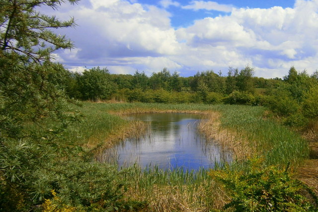
Quarry Pond is a picturesque freshwater body located in the region of Fife, Scotland. Nestled amidst serene surroundings, it offers a tranquil escape for nature enthusiasts and locals alike. The pond is a result of a former quarry that has since been transformed into a stunning aquatic ecosystem.

Stretching over a surface area of approximately 5 acres, Quarry Pond boasts crystal clear, freshwaters that are home to a diverse range of flora and fauna. The pond itself is surrounded by lush vegetation and trees, providing a natural shelter for various bird species, insects, and small mammals.

The water in Quarry Pond is largely sourced from underground springs, ensuring a constant flow and maintaining a healthy ecosystem. This abundance of freshwater also attracts an array of aquatic life, such as fish, amphibians, and waterfowl that can often be spotted gliding along the surface.

With its calm waters and peaceful ambiance, Quarry Pond is not only a haven for wildlife but also a popular spot for recreational activities. Visitors can engage in fishing, as the pond is known for its healthy population of trout and perch. Additionally, the surrounding area offers ample space for picnicking and leisurely walks, allowing visitors to immerse themselves in the serene beauty of the landscape.

Overall, Quarry Pond in Fife is a captivating freshwater haven, inviting visitors to appreciate the wonders of nature and enjoy the tranquility it offers. Whether it's birdwatching, fishing, or simply unwinding amidst breathtaking scenery, Quarry Pond is a destination that promises an enriching experience for all.

If you have any feedback on the listing, please let us know in the comments section below.
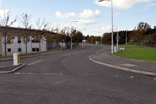
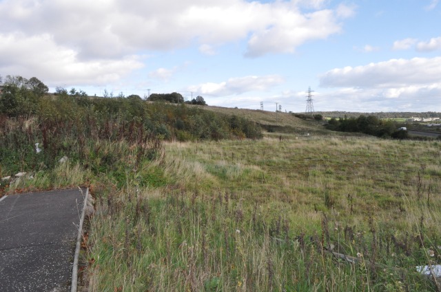
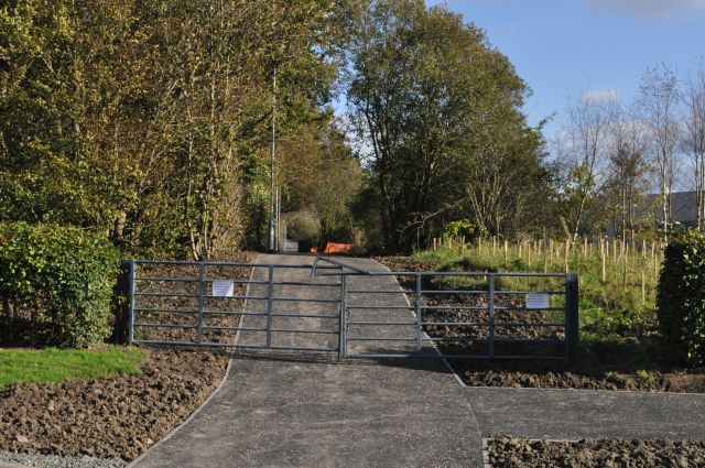
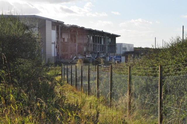
Quarry Pond Images

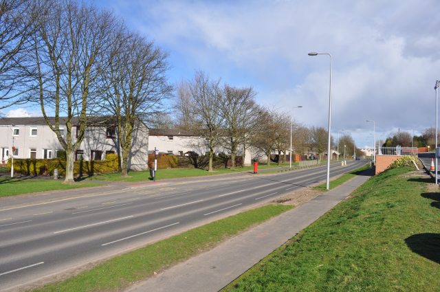
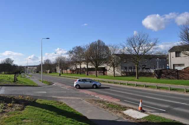
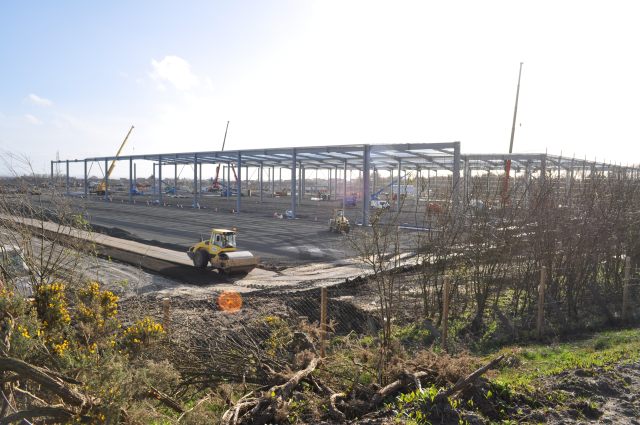
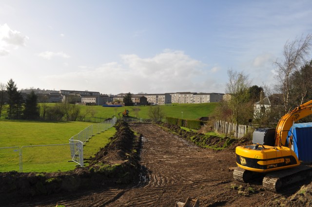
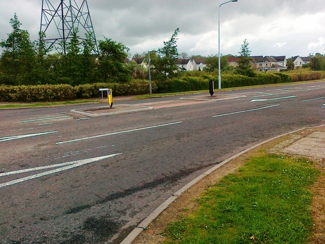
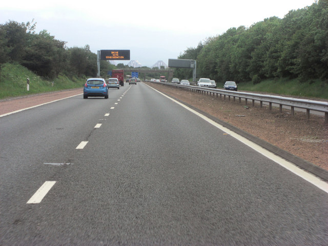
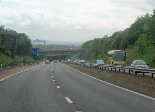
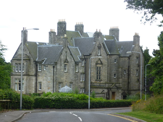
Images are sourced within 2km of 56.060349/-3.3984317 or Grid Reference NT1386. Thanks to Geograph Open Source API. All images are credited.

Aberdour Road Looking east along Aberdour Road.
Aberdour Road
Looking east along Aberdour Road.
Aberdour Road Looking west along Aberdour Road
Aberdour Road
Looking west along Aberdour Road
Under Construction Building a new distribution centre on the outskirts of the Dunfermline East expansion area. All this steelwork went up in the last four days.
Under Construction
Building a new distribution centre on the outskirts of the Dunfermline East expansion area. All this steelwork went up in the last four days.
Groundbreaking Preparing to lay new water pipes.
Groundbreaking
Preparing to lay new water pipes.
Dunlin Drive, Dunfermline
M90 near Duloch In the distance, on this alignment of the southbound carriageway, are the towers of the Forth bridge.
M90 near Duloch
In the distance, on this alignment of the southbound carriageway, are the towers of the Forth bridge.
M90 approaching Inverkeithing North Junction
Pitreavie Castle Late-Victorian edifice on the site of Pitreavie Castle where the last fighting took place in the Battle of Inverkeithing in 1651. <span class="nowrap"><a title="http://en.wikipedia.org/wiki/Pitreavie_Castle" rel="nofollow ugc noopener" href="http://en.wikipedia.org/wiki/Pitreavie_Castle">Link</a><img style="margin-left:2px;" alt="External link" title="External link - shift click to open in new window" src="https://s1.geograph.org.uk/img/external.png" width="10" height="10"/></span>
Pitreavie Castle
Late-Victorian edifice on the site of Pitreavie Castle where the last fighting took place in the Battle of Inverkeithing in 1651. LinkExternal link
Pitreavie Castle The site featured prominently in the Battle of Inverkeithing. For more information, see the relevant entry in the Annals of Dunfermline (1879) via the following <span class="nowrap"><a title="http://www.tulbol.demon.co.uk/dunfermline/annals11.htm" rel="nofollow ugc noopener" href="http://www.tulbol.demon.co.uk/dunfermline/annals11.htm">Link</a><img style="margin-left:2px;" alt="External link" title="External link - shift click to open in new window" src="https://s1.geograph.org.uk/img/external.png" width="10" height="10"/></span>  where it is referred to as the Battle of Pitreavie.

"17th July, 1651, being a thursday, cromwell's armie landit heir, who, on the sabbath yreftir, being the 20 day of the sd month, battell being beside pitreavie, killed an cutt manie of or men, robbed and plunderit all."
-- Kirk Session Records of Dunfermline
Pitreavie Castle
The site featured prominently in the Battle of Inverkeithing. For more information, see the relevant entry in the Annals of Dunfermline (1879) via the following LinkExternal link where it is referred to as the Battle of Pitreavie. "17th July, 1651, being a thursday, cromwell's armie landit heir, who, on the sabbath yreftir, being the 20 day of the sd month, battell being beside pitreavie, killed an cutt manie of or men, robbed and plunderit all." -- Kirk Session Records of Dunfermline
Pitreavie Castle from the grounds
Battle of Inverkeithing Memorial "Near here Sir Hector Maclean of Duart was killed at the Battle of Inverkeithing along with some 760 of his men. 20 July 1651. Another for Hector!* Erected by the Clan Maclean Heritage Trust 20 July 2001" <span class="nowrap"><a title="http://en.wikipedia.org/wiki/Battle_of_Inverkeithing" rel="nofollow ugc noopener" href="http://en.wikipedia.org/wiki/Battle_of_Inverkeithing">Link</a><img style="margin-left:2px;" alt="External link" title="External link - shift click to open in new window" src="https://s1.geograph.org.uk/img/external.png" width="10" height="10"/></span>

*clan slogan

"A rill, traversing the valley, called the Pinkerton-burn, ran with blood for several days, and the appearance of the little mounds, or heaps of the slain, resembled a hairst field of stooks* of corpses." -- Annals Of Dunfermline, 1879

*harvest field of stacked sheaves
Battle of Inverkeithing Memorial
"Near here Sir Hector Maclean of Duart was killed at the Battle of Inverkeithing along with some 760 of his men. 20 July 1651. Another for Hector!* Erected by the Clan Maclean Heritage Trust 20 July 2001" LinkExternal link *clan slogan "A rill, traversing the valley, called the Pinkerton-burn, ran with blood for several days, and the appearance of the little mounds, or heaps of the slain, resembled a hairst field of stooks* of corpses." -- Annals Of Dunfermline, 1879 *harvest field of stacked sheaves
Suds pond at Calais Muir, Dunfermline. One of the many suds ponds in the Duloch estate.
Suds pond at Calais Muir, Dunfermline.
One of the many suds ponds in the Duloch estate.
Castle Brae Road Castle Brae gives access to a small business park wedged between Pitreavie and the A823(M) motorway.
Castle Brae Road
Castle Brae gives access to a small business park wedged between Pitreavie and the A823(M) motorway.
End of the Road The stub of road to the left, leading from Pitreavie Business Park, doesn't look like it will be going any further in the near future.
End of the Road
The stub of road to the left, leading from Pitreavie Business Park, doesn't look like it will be going any further in the near future.
Mail Order Warehouse The vast shed built on the outskirts of Dunfermline to accommodate a well-known mail-order distribution company. Even bigger than the nearby infamous Hyundai plant, this at least is going to provide jobs of a sort.
Mail Order Warehouse
The vast shed built on the outskirts of Dunfermline to accommodate a well-known mail-order distribution company. Even bigger than the nearby infamous Hyundai plant, this at least is going to provide jobs of a sort.
Footpath Revamp The signs on the gates inform us that 'This route will be temporarily closed to allow necessary work to be carried out', but doesn't indicate on whose authority it has been closed. The path runs alongside the new mail-order distribution centre being built on the western edge of the Dunfermline Expansion Area.
Footpath Revamp
The signs on the gates inform us that 'This route will be temporarily closed to allow necessary work to be carried out', but doesn't indicate on whose authority it has been closed. The path runs alongside the new mail-order distribution centre being built on the western edge of the Dunfermline Expansion Area.
Going, going... The infamous Hyundai plant falls to the wreckers' hammers, nearly 15 years after it was first built, and after untold millions of pounds of publicly-funded investment, in the hopes of spearheading a new era in semiconductor manufacture. Sadly, recent plans seem to indicate that it will become yet another housing estate.
Going, going...
The infamous Hyundai plant falls to the wreckers' hammers, nearly 15 years after it was first built, and after untold millions of pounds of publicly-funded investment, in the hopes of spearheading a new era in semiconductor manufacture. Sadly, recent plans seem to indicate that it will become yet another housing estate.
White Elephant's Graveyard The demolition of the Hyundai semiconductor plant (from which not a single atom of silicon ever came forth) is under way.
White Elephant's Graveyard
The demolition of the Hyundai semiconductor plant (from which not a single atom of silicon ever came forth) is under way.
Show me another place!

Quarry Pond is located at Grid Ref: NT1386 (Lat: 56.060349, Lng: -3.3984317)

Unitary Authority: Fife

Police Authority: Fife

What 3 Words

///hotel.flag.skirting. Near Crossgates, Fife

Related Wikis

Wellwood, Fife

Wellwood is a small village to the north of Dunfermline, Fife, Scotland. It was named after the Wellwoods who used to own coalmines in the area. It has...

Abbeyview

Abbeyview is a housing estate in the town of Dunfermline in Fife, Scotland. It is situated in the east of the town, approximately 2 miles from the town...

Duloch

Duloch ( DOO-lokh), or Duloch Park, is a residential suburb of Dunfermline, in Fife, Scotland. The closest railway stations are Rosyth, Dunfermline Queen...

St Columba's Roman Catholic High School, Dunfermline

St Columba's RC High School is a six-year comprehensive Roman Catholic secondary school, located in Dunfermline in Fife, Scotland. == History == The original...

Nearby Amenities

Located within 500m of 56.060349,-3.3984317
CALAIS3
Disused Man Made: petroleum_well
Ref GB Decc: LF/28-7
Source: DECC
Lat/Long: 56.062317/-3.4011489
CALAIS2
Disused Man Made: petroleum_well
Ref GB Decc: LF/28-4
Source: DECC
Lat/Long: 56.05875/-3.4000833
Post Box
Brand: Royal Mail
Brand Wikidata: Q638098
Brand Wikipedia: en:Royal Mail
Collection Times: Mo-Fr 09:00; Sa 07:00
Operator: Royal Mail
Operator Wikidata: Q638098
Post Box Type: lamp
Ref: KY11 208D
Royal Cypher: scottish_crown
Source: survey
Lat/Long: 56.0601684/-3.3971932
Crossing
Crossing: unmarked
Crossing Island: yes
Tactile Paving: yes
Lat/Long: 56.0584507/-3.3992477
Crossing
Crossing: traffic_signals
Lat/Long: 56.0619567/-3.3954915
Crossing
Crossing: uncontrolled
Crossing Ref: zebra
Tactile Paving: yes
Lat/Long: 56.0613342/-3.4059478
Turning Circle
Lat/Long: 56.0619348/-3.402967
Crossing
Crossing: unmarked
Lat/Long: 56.0590637/-3.3983701
Crossing
Crossing: unmarked
Crossing Island: yes
Tactile Paving: no
Lat/Long: 56.0586147/-3.3986715
Crossing
Crossing: traffic_signals
Crossing Island: no
Tactile Paving: yes
Lat/Long: 56.0579683/-3.4046291
Power: tower
Lat/Long: 56.063139/-3.3951466
Power: tower
Lat/Long: 56.0643689/-3.3990445
Power: tower
Lat/Long: 56.0617968/-3.3908931
Duloch
Place: suburb
Wikidata: Q5313473
Wikipedia: en:Duloch
Lat/Long: 56.0610157/-3.4061474
Recycling
Recycling Clothes: yes
Recycling Glass Bottles: yes
Recycling Paper: yes
Recycling Plastic: yes
Recycling Type: container
Lat/Long: 56.0601993/-3.4061281
Fast Food
Pizza Hut Delivery
Addr City: Dunfermline
Addr Housename: Block 1
Addr Postcode: KY11 8JZ
Addr Street: Turnstone Road
Addr Unit: Unit 11
Brand: Pizza Hut Delivery
Brand Wikidata: Q107293079
Brand Wikipedia: en:Pizza Hut
Cuisine: pizza
Delivery: yes
Fhrs Id: 29211
Source Addr: FHRS Open Data
Takeaway: only
Lat/Long: 56.061368/-3.4057428
Fast Food
Subway
Addr City: Dunfermline
Addr Housename: Block 1
Addr Postcode: KY11 8JZ
Addr Street: Turnstone Road
Addr Unit: Unit 10
Brand: Subway
Brand Wikidata: Q244457
Brand Wikipedia: en:Subway (restaurant)
Contact Website: https://restaurants.subway.com/united-kingdom/sc/dunfermline/unit-10-block-1-turnstone-rd
Cuisine: sandwich
Fhrs Id: 25773
Source Addr: FHRS Open Data
Takeaway: yes
Lat/Long: 56.0614324/-3.4057455
Johnsons
Brand: Johnsons
Brand Wikidata: Q6268527
Brand Wikipedia: en:Johnsons Cleaners UK
Shop: dry_cleaning
Lat/Long: 56.061612/-3.4057401
British Red Cross
Brand: British Red Cross
Brand Wikidata: Q4970966
Brand Wikipedia: en:British Red Cross
Shop: charity
Lat/Long: 56.0615611/-3.4057401
Pharmacy
Rowlands Pharmacy
Brand: Rowlands Pharmacy
Brand Wikidata: Q62663235
Healthcare: pharmacy
Website: https://rowlandspharmacy.co.uk/find-local-pharmacy#!/l/fife/1-turnstone-road/1733
Lat/Long: 56.0616675/-3.4057428
Library
Duloch Library
Opening Hours: Mo 13:00-17:00; Tu,We 09:00-12:30,13:30-17:00; Th 09:00-12:30,13:30-18:00; Sa 10:00-12:30,13:30-16:00; Su 12:00-16:00
Lat/Long: 56.0623091/-3.4025415
Post Box
Collection Times: Mo-Fr 18:30; Sa 11:30
Operator: Royal Mail
Post Box Type: pillar
Ref: KY11 119
Royal Cypher: scottish_crown
Lat/Long: 56.0606342/-3.4037782
Crossing
Crossing: uncontrolled
Crossing Ref: zebra
Tactile Paving: yes
Lat/Long: 56.0612803/-3.4042683
Crossing
Crossing: unmarked
Tactile Paving: yes
Lat/Long: 56.0636565/-3.3933387
Crossing
Crossing: traffic_signals
Tactile Paving: yes
Lat/Long: 56.060048/-3.3970637
Crossing
Crossing: zebra
Lat/Long: 56.0616563/-3.405955
Crossing
Crossing: zebra
Tactile Paving: yes
Lat/Long: 56.0612747/-3.4056628
Crossing
Crossing: zebra
Tactile Paving: yes
Lat/Long: 56.0612288/-3.4056619
Crossing
Crossing: zebra
Lat/Long: 56.061503/-3.405268
Barrier: lift_gate
Lat/Long: 56.0611354/-3.4023855
Crossing
Crossing: marked
Tactile Paving: yes
Lat/Long: 56.0608044/-3.4058787
Crossing
Crossing: zebra
Lat/Long: 56.0604323/-3.4061492
Crossing
Crossing: marked
Tactile Paving: yes
Lat/Long: 56.0608242/-3.405701
Crossing
Crossing: marked
Tactile Paving: yes
Lat/Long: 56.0604247/-3.4041485
Defibrillator
Defibrillator Location: On the wall next to the security station.
Emergency: defibrillator
Indoor: yes
Lat/Long: 56.0605386/-3.4038768
Access: yes
Door: automatic
Entrance: main
Lat/Long: 56.0605998/-3.4039293
CHAS
Shop: charity
Lat/Long: 56.0617586/-3.4057412
Fast Food
Hook & Catch
Addr City: Dunfermline
Addr Housename: Block 1
Addr Postcode: KY11 8JZ
Addr Street: Turnstone Road
Addr Unit: 9
Cuisine: fish_and_chips
Drive Through: no
Fhrs Id: 1180824
Source Addr: FHRS Open Data
Lat/Long: 56.0615067/-3.4057396
Bus Stop
Masterton Primary School
Bench: no
Bin: yes
Bus: yes
Lit: yes
Naptan AtcoCode: 6500D1171
Naptan Bearing: NW
Naptan CommonName: Masterton Primary School
Naptan Indicator: adj
Naptan Landmark: Masterton Primary School
Naptan NaptanCode: 34346373
Naptan Street: Aberdour Rd
Public Transport: platform
Shelter: no
Tactile Paving: no
Lat/Long: 56.0577312/-3.4028354
Bus Stop
Masterton Primary School
Bench: no
Bin: no
Bus: yes
Lit: yes
Naptan AtcoCode: 6500D1170
Naptan Bearing: SE
Naptan CommonName: Masterton Primary School
Naptan Indicator: opp
Naptan Landmark: Masterton Primary School
Naptan NaptanCode: 34346372
Naptan Street: Aberdour Rd
Public Transport: platform
Shelter: no
Tactile Paving: no
Lat/Long: 56.0577177/-3.401937
Bus Stop
Cromar Drive
Bus: yes
Naptan AtcoCode: 6500D1122
Naptan NaptanCode: 34345487
Public Transport: platform
Lat/Long: 56.0579861/-3.399761
Bus Stop
Cromar Drive
Bus: yes
Naptan AtcoCode: 6500D1123
Naptan NaptanCode: 34345659
Public Transport: platform
Lat/Long: 56.0583596/-3.3994784
Bus Stop
Deeside Place
Bus: yes
Naptan AtcoCode: 6500D1124
Naptan NaptanCode: 34345657
Public Transport: platform
Lat/Long: 56.0596325/-3.3972082
Bus Stop
Nithsdale Place
Bus: yes
Naptan AtcoCode: 6500D1125
Naptan NaptanCode: 34345653
Public Transport: platform
Lat/Long: 56.0602703/-3.3971068
Bus Stop
Kyle Crescent
Bus: yes
Public Transport: platform
Lat/Long: 56.0616591/-3.3958654
Bus Stop
Lorn Place
Bus: yes
Public Transport: platform
Lat/Long: 56.0621472/-3.3953172
Bus Stop
Tesco Supermarket
Bench: yes
Bus: yes
Naptan AtcoCode: 6500D1203
Naptan NaptanCode: 34348949
Public Transport: platform
Shelter: yes
Lat/Long: 56.0612632/-3.4040106
Bus Stop
Nightingale Place
Bench: yes
Bus: yes
Public Transport: platform
Shelter: yes
Lat/Long: 56.0619393/-3.4039326
Bus Stop
Annfield
Bus: yes
Departures Board: timetable
Naptan AtcoCode: 6500D1161
Naptan Bearing: N
Naptan CommonName: Annfield
Naptan Indicator: Opp
Naptan Landmark: Dover Heights
Naptan NaptanCode: 34346458
Naptan Street: Lapwing Drive
Operator: Stagecoach
Public Transport: platform
Shelter: no
Surface: tactile_paving
Lat/Long: 56.0568576/-3.4007225
Bus Stop
Annfield
Bus: yes
Departures Board: timetable
Naptan AtcoCode: 6500D1160
Naptan Bearing: S
Naptan CommonName: Annfield
Naptan Indicator: Adj
Naptan Landmark: Dover Heights
Naptan NaptanCode: 34346457
Naptan Street: Lapwing Drive
Operator: Stagecoach
Public Transport: platform
Shelter: no
Surface: tactile_paving
Lat/Long: 56.0561183/-3.4010045
Bus Stop
Beauly Crescent
Bench: no
Bin: no
Bus: yes
Departures Board: timetable
Lit: yes
Naptan AtcoCode: 6500D1103
Naptan NaptanCode: 34345283
Operator: Stagecoach
Public Transport: platform
Shelter: no
Surface: tactile_paving
Tactile Paving: no
Lat/Long: 56.0569978/-3.3976721
School
Duloch Primary School
Addr City: Dunfermline
Addr Postcode: KY11 8LW
Addr Street: Nightingale Place
Fhrs Id: 23253
Source Addr: FHRS Open Data
Lat/Long: 56.0620618/-3.4022624
School
Calaiswood School
Addr Postcode: KY11 8GN
Email: dulochps.enquiries@fife.gov.uk
Operator: Fife Council
Operator Wikidata: Q28530258
Phone: +44 1383 313470
Ref GB Uprn: 320284361
Ref Seedcode: 5447046
Website: https://www.fife.gov.uk/atoz/index.cfm?fuseaction=facility.display&ORGID=60304273-A856-11D6-BF4D0002A5349AC9&facid=F2520A62-91BA-4C28-9D832442C03FCF7F
Lat/Long: 56.0617354/-3.4022571
Duloch Leisure Centre
Leisure: sports_centre
Lat/Long: 56.0621846/-3.4016562
Indigo Sun
Beauty: tanning
Brand: Indigo Sun
Brand Wikidata: Q63436906
Shop: beauty
Lat/Long: 56.0617248/-3.4057466
Artwork Type: statue
Material: wood
Tourism: artwork
Lat/Long: 56.0625623/-3.4012953
Generator Method: photovoltaic
Generator Output Electricity: yes
Generator Source: solar
Generator Type: solar_photovoltaic_panel
Power: generator
Lat/Long: 56.0614581/-3.3978717
Generator Method: photovoltaic
Generator Output Electricity: yes
Generator Source: solar
Generator Type: solar_photovoltaic_panel
Power: generator
Lat/Long: 56.0613237/-3.3960139
Generator Method: photovoltaic
Generator Output Electricity: yes
Generator Source: solar
Generator Type: solar_photovoltaic_panel
Power: generator
Lat/Long: 56.0616694/-3.3965385
Generator Method: photovoltaic
Generator Output Electricity: yes
Generator Source: solar
Generator Type: solar_photovoltaic_panel
Power: generator
Lat/Long: 56.0619623/-3.4003379
Crossing
Crossing: traffic_signals
Crossing Island: no
Tactile Paving: yes
Lat/Long: 56.0569062/-3.4006082
Generator Method: photovoltaic
Generator Output Electricity: yes
Generator Source: solar
Generator Type: solar_photovoltaic_panel
Power: generator
Lat/Long: 56.0605052/-3.4013666
Generator Method: photovoltaic
Generator Output Electricity: yes
Generator Source: solar
Generator Type: solar_photovoltaic_panel
Power: generator
Lat/Long: 56.0606102/-3.3962275
Generator Method: photovoltaic
Generator Output Electricity: yes
Generator Source: solar
Generator Type: solar_photovoltaic_panel
Power: generator
Lat/Long: 56.061133/-3.4015035
Generator Method: photovoltaic
Generator Output Electricity: yes
Generator Source: solar
Generator Type: solar_photovoltaic_panel
Power: generator
Lat/Long: 56.0606512/-3.3980096
Generator Method: photovoltaic
Generator Output Electricity: yes
Generator Source: solar
Generator Type: solar_photovoltaic_panel
Power: generator
Lat/Long: 56.0606047/-3.3942514
Generator Method: photovoltaic
Generator Output Electricity: yes
Generator Source: solar
Generator Type: solar_photovoltaic_panel
Power: generator
Lat/Long: 56.0604974/-3.3939969
Generator Method: photovoltaic
Generator Output Electricity: yes
Generator Source: solar
Generator Type: solar_photovoltaic_panel
Power: generator
Lat/Long: 56.0589796/-3.4016991
Generator Method: photovoltaic
Generator Output Electricity: yes
Generator Source: solar
Generator Type: solar_photovoltaic_panel
Power: generator
Lat/Long: 56.0593062/-3.4061958
Generator Method: photovoltaic
Generator Output Electricity: yes
Generator Source: solar
Generator Type: solar_photovoltaic_panel
Power: generator
Lat/Long: 56.0593656/-3.4061093
Generator Method: photovoltaic
Generator Output Electricity: yes
Generator Source: solar
Generator Type: solar_photovoltaic_panel
Power: generator
Lat/Long: 56.0593812/-3.4060358
Crossing
Crossing: traffic_signals
Crossing Island: no
Lat/Long: 56.0569723/-3.397167
Crossing
Crossing: marked
Lat/Long: 56.062018/-3.404655
Door: sliding
Entrance: yes
Wheelchair: yes
Lat/Long: 56.0610148/-3.4044953
Crossing
Crossing: marked
Tactile Paving: yes
Lat/Long: 56.0608951/-3.4051665
Crossing
Crossing: zebra
Tactile Paving: yes
Lat/Long: 56.0608982/-3.4041705
Door: automatic
Entrance: main
Lat/Long: 56.0604595/-3.4039082
Bicycle Parking
Bicycle Parking: stands
Capacity: 6
Covered: yes
Lat/Long: 56.0608655/-3.403905
Bureau De Change
Tesco Travel Money
Addr City: Dunfermline
Addr Postcode: KY11 8EG
Addr Street: Turnstone Road
Opening Hours: Mo-Fr 09:00-18:00; Sa 10:00-18:00; Su 11:00-16:00
Phone: +44 1383 724572
Lat/Long: 56.0604223/-3.4037602
Tesco Mobile
Addr City: Dunfermline
Addr Postcode: KY11 8EG
Addr Street: Turnstone Road
Opening Hours: Mo-Sa 09:00-19:00; Su 10:00-18:00
Shop: mobile_phone
Lat/Long: 56.0605151/-3.4029305
Crossing
Crossing: marked
Lat/Long: 56.0623233/-3.4033577
Crossing
Crossing: marked
Lat/Long: 56.0622865/-3.4031718
The data included in this document is from www.openstreetmap.org. The data is made available under ODbL.

Have you been to Quarry Pond?

Leave your review of Quarry Pond below (or comments, questions and feedback).