Craw Wood
Wood, Forest in Dumfriesshire
Scotland
Craw Wood

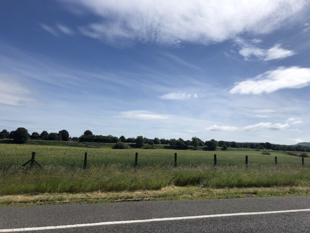
Craw Wood is a picturesque forest located in Dumfriesshire, Scotland. Covering an area of approximately 200 hectares, it is a prominent natural attraction in the region. The wood is situated near the small village of Ecclefechan and is easily accessible by road.
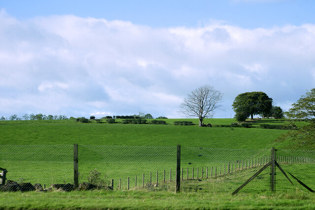
Craw Wood is a mixed woodland, consisting of a variety of tree species such as oak, beech, birch, and conifers. The forest is known for its diverse ecosystem, providing a habitat for numerous species of flora and fauna. Visitors can expect to encounter a wide range of wildlife, including deer, squirrels, and various bird species.
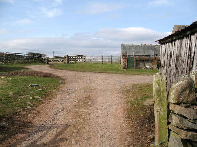
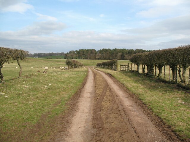
The forest offers several well-maintained trails for hikers and nature enthusiasts to explore. These trails wind through the woodland, taking visitors through scenic and tranquil surroundings. The paths are suitable for all levels of fitness and offer stunning views of the surrounding countryside.
Craw Wood is also notable for its historical significance. The area has a rich heritage, with evidence of ancient settlements and archaeological sites dating back thousands of years. Visitors can immerse themselves in the history of the wood by exploring these sites or taking part in guided tours.
Overall, Craw Wood is a captivating destination for those seeking a peaceful retreat in the heart of nature. Its combination of natural beauty, diverse wildlife, and historical significance make it a must-visit location in Dumfriesshire.
If you have any feedback on the listing, please let us know in the comments section below.
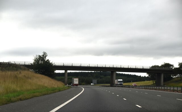
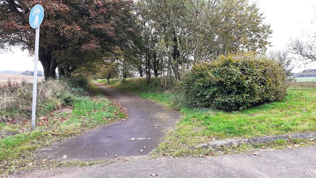
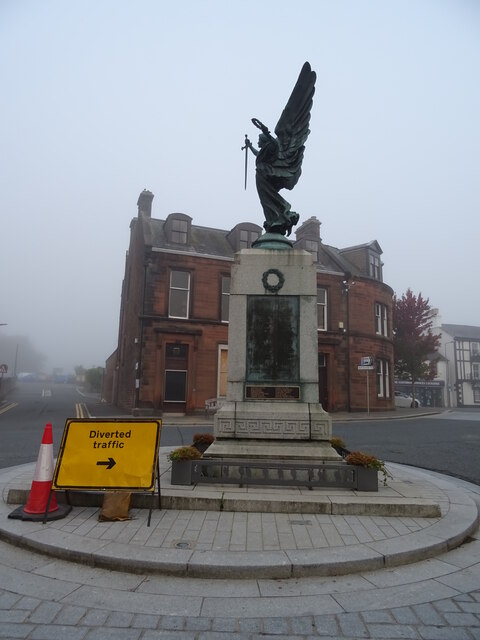
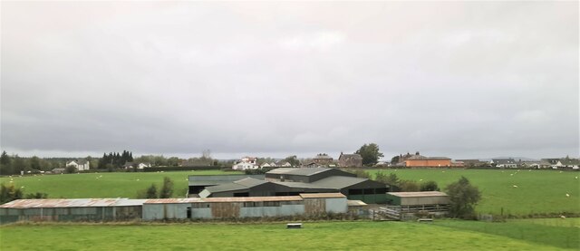
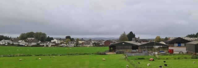
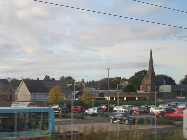
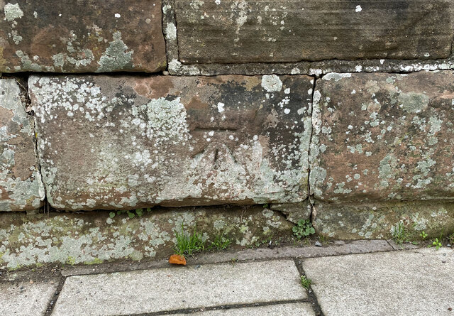
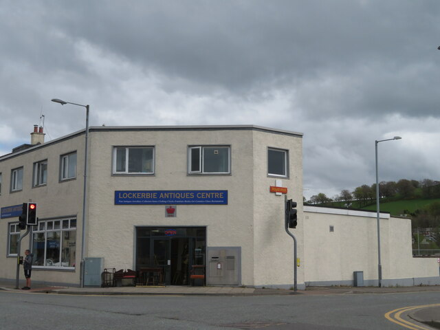
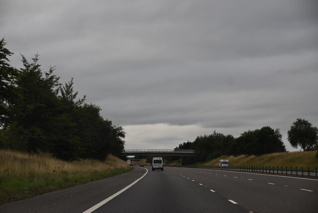
Craw Wood Images
Images are sourced within 2km of 55.104755/-3.3647328 or Grid Reference NY1379. Thanks to Geograph Open Source API. All images are credited.

Craw Wood is located at Grid Ref: NY1379 (Lat: 55.104755, Lng: -3.3647328)
Unitary Authority: Dumfries and Galloway
Police Authority: Dumfries and Galloway
What 3 Words
///enlighten.captive.poodle. Near Lockerbie, Dumfries & Galloway
Nearby Locations
Related Wikis

Hallmuir Ukrainian Chapel
The Hallmuir Ukrainian Chapel is a chapel built at a Hallmuir prisoner of war camp near Lockerbie in Scotland. After the Second World War, this camp housed...

Pan Am Flight 103
Pan Am Flight 103 (PA103/PAA103) was a regularly scheduled Pan Am transatlantic flight from Frankfurt to Detroit via a stopover in London and another in...

Lockerbie
Lockerbie (, Scottish Gaelic: Locarbaidh) is a town in Dumfries and Galloway, south-western Scotland. It is about 120 km (75 mi) from Glasgow, and 25 km...

Dryfesdale
Dryfesdale ( DRYFSE-dayl) is a civil parish of the council area of Dumfries and Galloway, Scotland. It is part of the county of Dumfriesshire. == Overview... ==

Lockerbie Town Hall
Lockerbie Town Hall is a municipal building in the High Street in Lockerbie, Dumfries and Galloway, Scotland. The structure, which is used as a venue for...
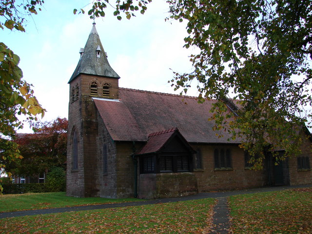
All Saints Church, Lockerbie
All Saints Church is in Ashgrove Terrace, Lockerbie, Dumfries and Galloway, Scotland. It is a Category B listed building and an active Scottish Episcopal...
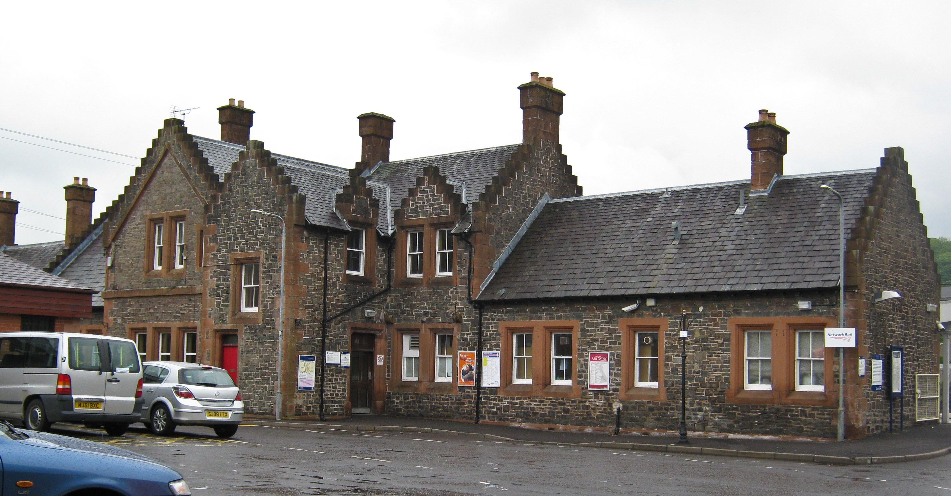
Lockerbie railway station
Lockerbie railway station is a railway station serving the town of Lockerbie, on the West Coast Main Line, Dumfries and Galloway, Scotland. It is located...

Kintail Park
Kintail Park was a football ground in Lockerbie, Scotland. It was the home ground of Mid-Annandale, and hosted Scottish Football League matches between...
Nearby Amenities
Located within 500m of 55.104755,-3.3647328Have you been to Craw Wood?
Leave your review of Craw Wood below (or comments, questions and feedback).