Bambricks Wood

Wood, Forest in Kinross-shire

Scotland

Bambricks Wood

Path, Keltyhill Wood Used by the Fife Pilgrim Way.
Path, Keltyhill Wood Credit: Richard Webb

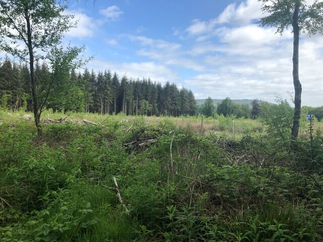
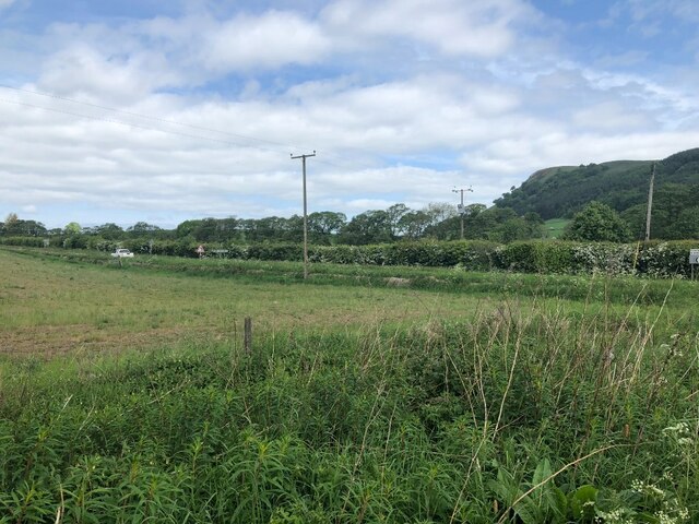
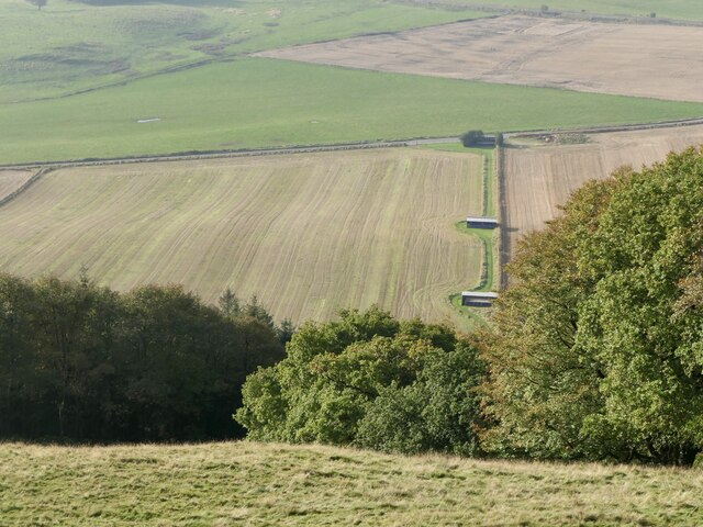
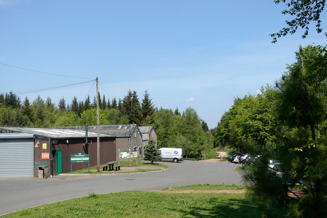
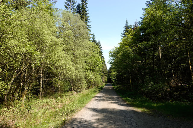
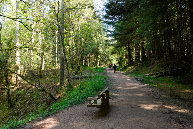
Bambricks Wood is a beautiful forest located in Kinross-shire, Scotland. Spanning over a vast area, it is a popular destination for nature enthusiasts and outdoor lovers. The wood is known for its diverse range of flora and fauna, providing a haven for both native and migratory species.

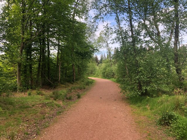
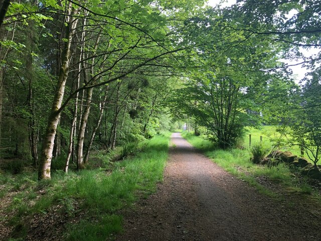
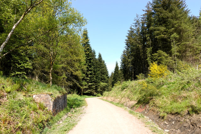
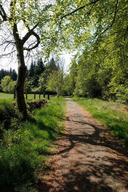
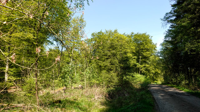
The forest is predominantly comprised of deciduous trees, including oak, beech, and birch. These trees create a vibrant and picturesque landscape, especially during the autumn months when the leaves change color, painting the wood in hues of red, orange, and gold. The dense canopy formed by the trees offers a cool and shady environment, perfect for long walks and hikes during the summer.

Bambricks Wood is also home to a variety of wildlife. Visitors may come across deer, foxes, badgers, and a plethora of bird species while exploring the forest. It is not uncommon to spot woodpeckers, owls, and other woodland birds in their natural habitat. The wood's tranquil atmosphere and abundance of wildlife make it an ideal place for birdwatching and wildlife photography.

In addition to its natural beauty, Bambricks Wood offers several walking trails and picnic areas, making it a popular spot for family outings and leisurely strolls. The well-maintained paths allow visitors to explore the forest at their own pace and enjoy the peaceful surroundings.

Overall, Bambricks Wood is a captivating destination for nature enthusiasts, offering a rich diversity of flora and fauna, stunning landscapes, and a tranquil atmosphere for relaxation and exploration.

If you have any feedback on the listing, please let us know in the comments section below.

Bambricks Wood Images

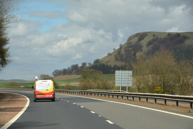
Images are sourced within 2km of 56.151191/-3.4128379 or Grid Reference NT1296. Thanks to Geograph Open Source API. All images are credited.

Path, Keltyhill Wood Used by the Fife Pilgrim Way.
Path, Keltyhill Wood
Used by the Fife Pilgrim Way.
Keltyhill Wood
Keltyhill Wood
Leaving Blairadam Forest A track out of the woods, under the motorway to Keltybridge.
Leaving Blairadam Forest
A track out of the woods, under the motorway to Keltybridge.
Barley, Keltybridge
Barley, Keltybridge
Field, Blairforge
Field, Blairforge
B996, Lochran Former A90.
B996, Lochran
Former A90.
Blairadam rifle range View from near one of the poles for the red flags. The club are usually active at weekends judging from flag spotting from the M90 but a safe ascent possible today on a Tuesday.
Blairadam rifle range
View from near one of the poles for the red flags. The club are usually active at weekends judging from flag spotting from the M90 but a safe ascent possible today on a Tuesday.
Fife : The M90 Motorway Heading north on the M90 Motorway.
Fife : The M90 Motorway
Heading north on the M90 Motorway.
Perth & Kinross : The M90 Motorway Heading north along the M90 Motorway.
Perth & Kinross : The M90 Motorway
Heading north along the M90 Motorway.
Perth & Kinross : The M90 Motorway Heading north along the M90 Motorway.
Perth & Kinross : The M90 Motorway
Heading north along the M90 Motorway.
Perth & Kinross : The M90 Motorway Looking along the M90 Motorway as it heads through Perth & Kinross.
Perth & Kinross : The M90 Motorway
Looking along the M90 Motorway as it heads through Perth & Kinross.
Perth & Kinross : The M90 Motorway Approaching junction 5 of the M90 Motorway.
Perth & Kinross : The M90 Motorway
Approaching junction 5 of the M90 Motorway.
Forestry Commission depot at Blairadam Forest There's no visitor centre or other facilities for the public at the depot but there is a car park, mainly hidden by the right hand trees. It's accessible from the B914 by a drive of around 1 km. along a well-surfaced tarmac road and gives access to waymarked paths.
Forestry Commission depot at Blairadam Forest
There's no visitor centre or other facilities for the public at the depot but there is a car park, mainly hidden by the right hand trees. It's accessible from the B914 by a drive of around 1 km. along a well-surfaced tarmac road and gives access to waymarked paths.
Forest road crossing route of old railway The road is in the Blairadam Forest which occupies an area with a coal mining history. The rail route is assumed to be a local one associated with the mining. The brickwork at the left side of the image is surely part of a buttress to a railway bridge. June Hodge has a Geograph image which shows embellishments to the brickwork of the buttress - <a title="https://www.geograph.org.uk/photo/2137643" href="https://www.geograph.org.uk/photo/2137643">Link</a>.
Forest road crossing route of old railway
The road is in the Blairadam Forest which occupies an area with a coal mining history. The rail route is assumed to be a local one associated with the mining. The brickwork at the left side of the image is surely part of a buttress to a railway bridge. June Hodge has a Geograph image which shows embellishments to the brickwork of the buttress - Link.
Path in Blairadam Forest near to M90 The broad path is heading further into the Blairadam Forest having passed through an underpass of the M90 motorway connecting it with Keltybridge.
Path in Blairadam Forest near to M90
The broad path is heading further into the Blairadam Forest having passed through an underpass of the M90 motorway connecting it with Keltybridge.
Forest road within Blairadam Forest The road, (in shadow), is one of many forest roads in the Blairadam Forest, a number of them being used in waymarked, footpath routes; this is not one of those.
Forest road within Blairadam Forest
The road, (in shadow), is one of many forest roads in the Blairadam Forest, a number of them being used in waymarked, footpath routes; this is not one of those.
Forest road in Blairadam Forest One of the roads in the Blairadam Forest heading east-north-east. Many roads have been incorporated into a waymarked system of paths; this isn't one of those. In this view most of the trees are deciduous.
Forest road in Blairadam Forest
One of the roads in the Blairadam Forest heading east-north-east. Many roads have been incorporated into a waymarked system of paths; this isn't one of those. In this view most of the trees are deciduous.
Path in Blairadam Forest on south side of Lochornle Burn The broad path is in use as a waymarked walking trail of the Blairadam Forest: the yellow one. The route has just crossed a bridge over the burn which lies below to the left.  A short distance to the east it will merge with the Pieries Burn to form the Kelty Burn.
Path in Blairadam Forest on south side of Lochornle Burn
The broad path is in use as a waymarked walking trail of the Blairadam Forest: the yellow one. The route has just crossed a bridge over the burn which lies below to the left. A short distance to the east it will merge with the Pieries Burn to form the Kelty Burn.
Show me another place!

Bambricks Wood is located at Grid Ref: NT1296 (Lat: 56.151191, Lng: -3.4128379)

Unitary Authority: Perth and Kinross

Police Authority: Tayside

What 3 Words

///ballparks.engraving.blunders. Near Kelty, Fife

Related Wikis

Dowhill Castle

Dowhill Castle is a ruined castle in Perth and Kinross, Scotland. Sited on a hill near Loch Leven, the oldest part of the castle was built in around 1500...

Blairadam railway station

Blairadam railway station is a disused station in Fife, Scotland which was open from 1860 to 1964 on the Kinross-shire Railway. == History == The station...

Keltybridge

Keltybridge is a village in Perth and Kinross, Scotland, about one mile north of Kelty, which is across the Fife border. It stands on the northern banks...

Kelty Hearts F.C.

Kelty Hearts Football Club is a football club based in the village of Kelty in Fife, Scotland. Formed in 1975 and nicknamed the Hearts, the Maroon Machine...

Nearby Amenities

Located within 500m of 56.151191,-3.4128379
Blairhill Wood
Place: locality
Lat/Long: 56.1468125/-3.4133803
Bambricks Wood
Place: locality
Lat/Long: 56.1507601/-3.4143597
Coronation Plantation
Place: locality
Lat/Long: 56.1491661/-3.4141677
Ice House
Historic: ruins
Lat/Long: 56.1479726/-3.4111214
The data included in this document is from www.openstreetmap.org. The data is made available under ODbL.

Have you been to Bambricks Wood?

Leave your review of Bambricks Wood below (or comments, questions and feedback).