Turnmuir Plantation

Wood, Forest in Dumfriesshire

Scotland

Turnmuir Plantation

Benchmark, Lockerbie Town Hall Detail of the Ordnance Survey flush bracket benchmark number G518 on the wall of Lockerbie Town Hall facing on to Bridge Street.  The benchmark marks a height of 79.1589m above mean sea level (Ordnance Datum Newlyn) last levelled in 1957 and verified in 1974 (location photograph <a href="https://www.geograph.org.uk/photo/6570804">NY1381 : Electrical Junction Box</a>).
Benchmark, Lockerbie Town Hall Credit: Adrian Taylor

The requested URL returned error: 429 Too Many Requests

If you have any feedback on the listing, please let us know in the comments section below.

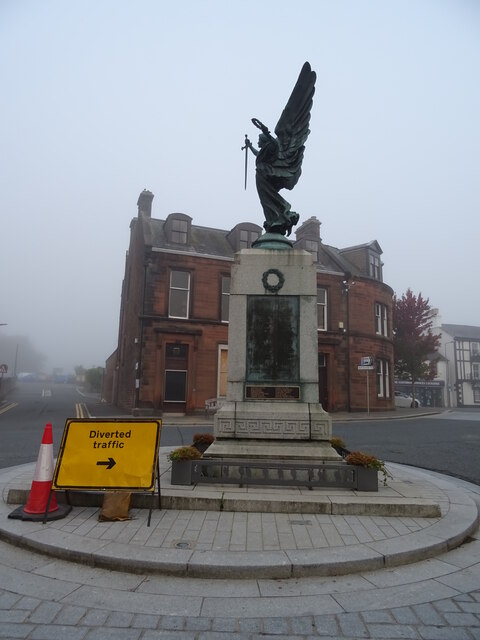
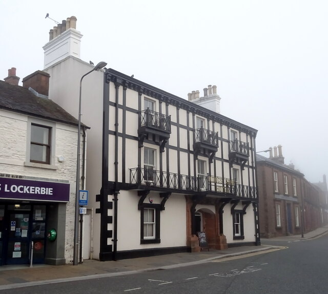
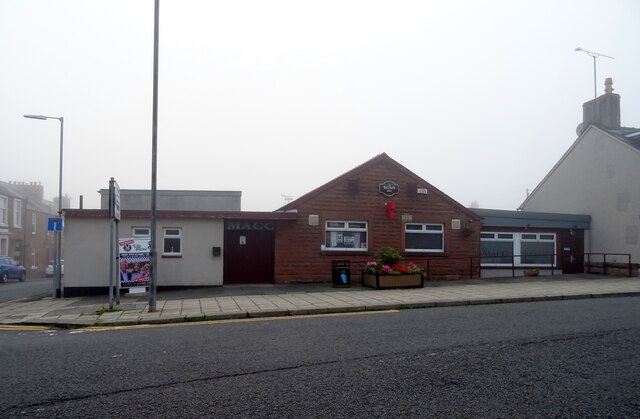
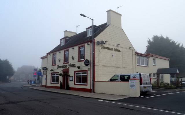
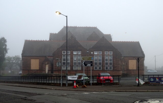
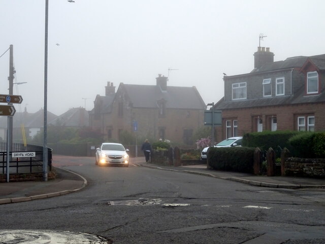
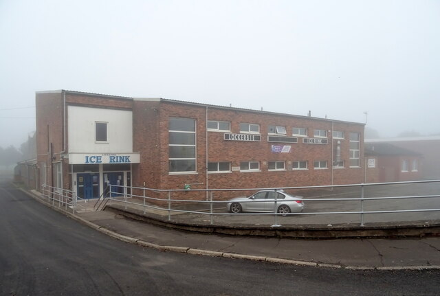
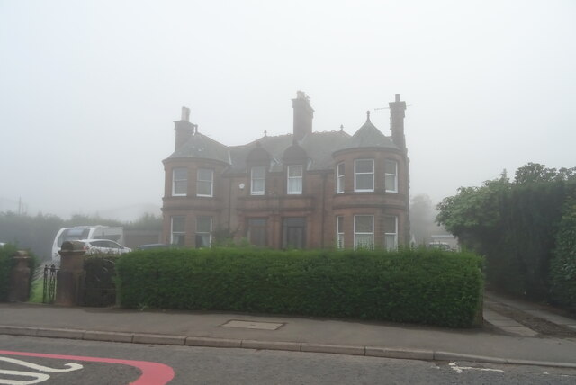
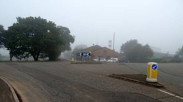
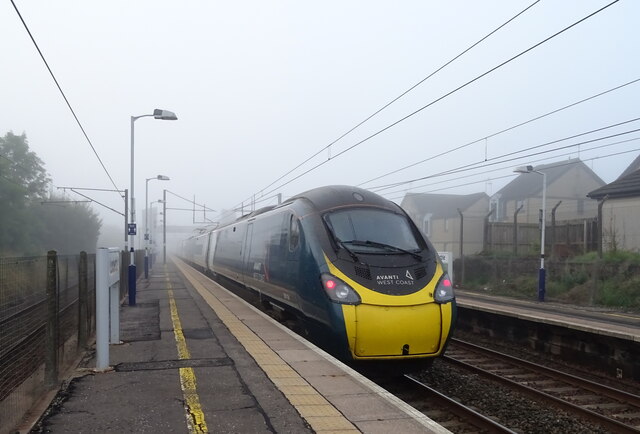
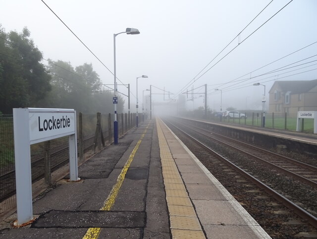
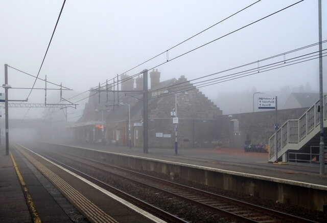
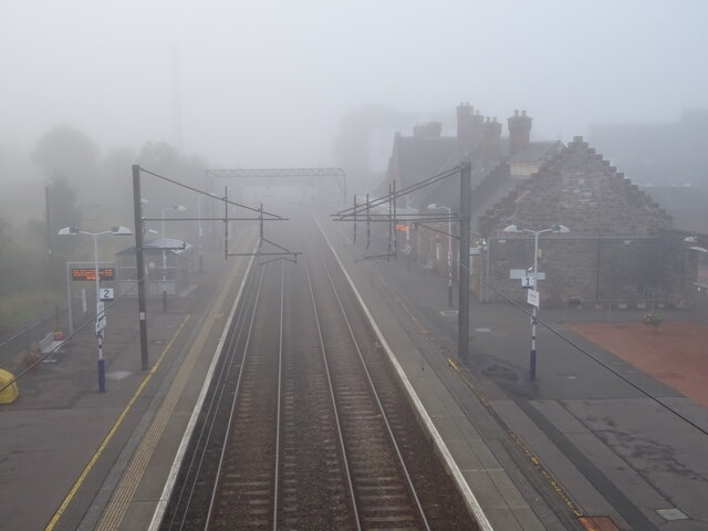
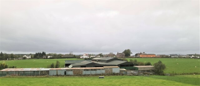
Turnmuir Plantation Images

Images are sourced within 2km of 55.116886/-3.376075 or Grid Reference NY1281. Thanks to Geograph Open Source API. All images are credited.

Benchmark, Lockerbie Town Hall Detail of the Ordnance Survey flush bracket benchmark number G518 on the wall of Lockerbie Town Hall facing on to Bridge Street.  The benchmark marks a height of 79.1589m above mean sea level (Ordnance Datum Newlyn) last levelled in 1957 and verified in 1974 (location photograph <a href="https://www.geograph.org.uk/photo/6570804">NY1381 : Electrical Junction Box</a>).
Benchmark, Lockerbie Town Hall
Detail of the Ordnance Survey flush bracket benchmark number G518 on the wall of Lockerbie Town Hall facing on to Bridge Street. The benchmark marks a height of 79.1589m above mean sea level (Ordnance Datum Newlyn) last levelled in 1957 and verified in 1974 (location photograph NY1381 : Electrical Junction Box).
Northbound A74(M) near Lockerbie The A74(M) and M74 form a major motorway which runs for over 80 miles in Scotland. Following an extension opened on 28 June 2011, it connects the M8 motorway west of Glasgow to the English border at Gretna,where it becomes the M6. In conjunction with the M6, it forms one of the two major cross-border routes between Scotland and England. As the motorway is one continuous route and has a continuous junction numbering system, the entire route is often erroneously referred to as M74 although, the section south of Abington (more than half its length) is officially the A74(M).

More information :
<span class="nowrap"><a title="http://www.sabre-roads.org.uk/wiki/index.php?title=M74/A74(M)" rel="nofollow ugc noopener" href="http://www.sabre-roads.org.uk/wiki/index.php?title=M74/A74(M)">Link</a><img style="margin-left:2px;" alt="External link" title="External link - shift click to open in new window" src="https://s1.geograph.org.uk/img/external.png" width="10" height="10"/></span>  SABRE Wiki
<span class="nowrap"><a title="http://en.wikipedia.org/wiki/A74(M)_and_M74_motorways" rel="nofollow ugc noopener" href="http://en.wikipedia.org/wiki/A74(M)_and_M74_motorways">Link</a><img style="margin-left:2px;" alt="External link" title="External link - shift click to open in new window" src="https://s1.geograph.org.uk/img/external.png" width="10" height="10"/></span>  Wikipedia
<span class="nowrap"><a title="http://www.cbrd.co.uk/motorway/m74" rel="nofollow ugc noopener" href="http://www.cbrd.co.uk/motorway/m74">Link</a><img style="margin-left:2px;" alt="External link" title="External link - shift click to open in new window" src="https://s1.geograph.org.uk/img/external.png" width="10" height="10"/></span>  cbrd
Northbound A74(M) near Lockerbie
The A74(M) and M74 form a major motorway which runs for over 80 miles in Scotland. Following an extension opened on 28 June 2011, it connects the M8 motorway west of Glasgow to the English border at Gretna,where it becomes the M6. In conjunction with the M6, it forms one of the two major cross-border routes between Scotland and England. As the motorway is one continuous route and has a continuous junction numbering system, the entire route is often erroneously referred to as M74 although, the section south of Abington (more than half its length) is officially the A74(M). More information : LinkExternal link SABRE Wiki LinkExternal link Wikipedia LinkExternal link cbrd
Royal Bar, Lockerbie On Station Road.
New paint scheme since 2015 - <a href="https://www.geograph.org.uk/photo/4689593">NY1381 : The Royal Bar, Lockerbie</a>
Royal Bar, Lockerbie
On Station Road. New paint scheme since 2015 - NY1381 : The Royal Bar, Lockerbie
Lockerbie Railway Station On a misty morning.
Lockerbie Railway Station
On a misty morning.
War Memorial, Lockerbie
The Kings Arms Hotel, Lockerbie On High Street.
The Kings Arms Hotel, Lockerbie
On High Street.
Mid Annandale Comrades Club, Lockerbie On High Street.
Mid Annandale Comrades Club, Lockerbie
On High Street.
The Townhead Hotel, Lockerbie On Townhead Street.
The Townhead Hotel, Lockerbie
On Townhead Street.
Dryfesdale School, Lockerbie Now closed and being converted into a community resouce.
Dryfesdale School, Lockerbie
Now closed and being converted into a community resouce.
Dryfe Road (B723), Lockerbie
Lockerbie Ice Rink On a misty autumn morning.
Lockerbie Ice Rink
On a misty autumn morning.
Houses on Glasgow Road Take on a misty autumn morning.
Houses on Glasgow Road
Take on a misty autumn morning.
Roundabout on Glasgow Road (B7068)
Lockerbie Railway Station Avanti West Coast Class 390 No. 390114 departing for London Euston.
Lockerbie Railway Station
Avanti West Coast Class 390 No. 390114 departing for London Euston.
Lockerbie Railway Station Looking south into the gloom on a misty autumnal morning.
Lockerbie Railway Station
Looking south into the gloom on a misty autumnal morning.
Lockerbie Railway Station On a misty autumnal morning.
Lockerbie Railway Station
On a misty autumnal morning.
Lockerbie Railway Station Looking south from the footbridge into the gloom off a misty autumnal morning.
Lockerbie Railway Station
Looking south from the footbridge into the gloom off a misty autumnal morning.
Farm buildings, Lockerbie
Show me another place!

Turnmuir Plantation is located at Grid Ref: NY1281 (Lat: 55.116886, Lng: -3.376075)

Unitary Authority: Dumfries and Galloway

Police Authority: Dumfries and Galloway

What 3 Words

///quite.calculating.tint. Near Lockerbie, Dumfries & Galloway

Nearby Locations

Turnmuir Plantation

Related Wikis

Pan Am Flight 103

Pan Am Flight 103 (PA103/PAA103) was a regularly scheduled Pan Am transatlantic flight from Frankfurt to Detroit via a stopover in London and another in...

Johnsfield

Johnsfield is a settlement near Lockerbie in Dumfries and Galloway, Scotland. == External links == Scotland's places

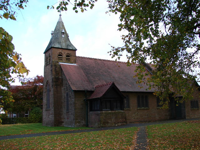
All Saints Church, Lockerbie

All Saints Church is in Ashgrove Terrace, Lockerbie, Dumfries and Galloway, Scotland. It is a Category B listed building and an active Scottish Episcopal...

Dryfesdale

Dryfesdale ( DRYFSE-dayl) is a civil parish of the council area of Dumfries and Galloway, Scotland. It is part of the county of Dumfriesshire. == Overview... ==

Nearby Amenities

Located within 500m of 55.116886,-3.376075
Dryfesdale
Naptan AtcoCode: 680000561333
Naptan Bearing: W
Naptan BusStopType: CUS
Naptan CommonName: Dryfesdale
Naptan Indicator: opp Cemetry
Naptan Landmark: Cemetry
Naptan NaptanCode: 34234526
Naptan Notes: none
Naptan Street: A709
Naptan Verified: no
Source: naptan_import
Lat/Long: 55.1151754/-3.377841
Dryfesdale
Naptan AtcoCode: 680000561444
Naptan Bearing: E
Naptan BusStopType: CUS
Naptan CommonName: Dryfesdale
Naptan Indicator: o/s Cemetry
Naptan Landmark: Cemetry
Naptan NaptanCode: 34234525
Naptan Notes: none
Naptan Street: A709
Naptan Verified: no
Source: naptan_import
Lat/Long: 55.1153396/-3.3784268
Bus Stop
Vallance Drive
Naptan AtcoCode: 680000562444
Naptan Bearing: NE
Naptan CommonName: Vallance Drive
Naptan Indicator: opp junction
Naptan Landmark: Vallance Drive
Naptan NaptanCode: 34234398
Naptan Notes: none
Naptan Street: A709
Naptan Verified: no
Source: naptan_import
Lat/Long: 55.1167387/-3.3683145
Parking
Lat/Long: 55.1154975/-3.3805285
Lockerbie Air Disaster
Description: Memorial to the victims of the PanAm 103 bombing
Historic: memorial
Memorial: yes
Subject Wikidata: Q211087
Subject Wikipedia: en:Pan Am Flight 103
Lat/Long: 55.1177125/-3.3774893
Power: pole
Lat/Long: 55.1186593/-3.3754495
Power: pole
Lat/Long: 55.1193281/-3.3760239
Power: pole
Lat/Long: 55.120047/-3.3766241
Power: pole
Lat/Long: 55.1207069/-3.3771677
Power: pole
Lat/Long: 55.1208557/-3.3766885
Power: pole
Lat/Long: 55.1203828/-3.3767581
Power: pole
Lat/Long: 55.119552/-3.3760368
Power: pole
Lat/Long: 55.1187182/-3.3752846
Power: pole
Lat/Long: 55.1153976/-3.3778168
Power: pole
Lat/Long: 55.1156466/-3.3770208
Power: pole
Lat/Long: 55.1159545/-3.3760574
Power: pole
Lat/Long: 55.1161844/-3.3753928
Power: pole
Lat/Long: 55.1164098/-3.3747308
Power: pole
Lat/Long: 55.1167633/-3.3741048
Power: pole
Lat/Long: 55.1171198/-3.3734403
Power: pole
Lat/Long: 55.1175397/-3.3727061
Power: pole
Lat/Long: 55.1180524/-3.3728735
Power: pole
Lat/Long: 55.1187609/-3.3725258
Power: pole
Lat/Long: 55.1193708/-3.3722192
Power: pole
Lat/Long: 55.1197597/-3.3720415
Power: pole
Lat/Long: 55.1205036/-3.3720956
Power: pole
Lat/Long: 55.1169519/-3.3837402
Power: pole
Lat/Long: 55.1169165/-3.3828773
Power: pole
Lat/Long: 55.1170285/-3.3823956
Power: pole
Lat/Long: 55.1191572/-3.3827485
Power: pole
Lat/Long: 55.1188523/-3.3813446
Power: pole
Lat/Long: 55.1184545/-3.3800772
Power: pole
Lat/Long: 55.1187271/-3.3814064
Power: pole
Lat/Long: 55.1190099/-3.3827665
Power: pole
Lat/Long: 55.1185532/-3.3799587
The data included in this document is from www.openstreetmap.org. The data is made available under ODbL.

Have you been to Turnmuir Plantation?

Leave your review of Turnmuir Plantation below (or comments, questions and feedback).