Windy Knowe

Hill, Mountain in Kinross-shire

Scotland

Windy Knowe

Fields at West Brackley Farmland to the north of Benarty Hill, which is a 2.5km long E-W-orientated hill used by glider pilots from the local gliding club when there are northerly winds.
Fields at West Brackley Credit: M J Richardson

Windy Knowe is a prominent hill located in the picturesque region of Kinross-shire, Scotland. Situated near the charming town of Kinross, this natural landmark is known for its breathtaking views and diverse ecological features. Rising to an elevation of approximately 300 meters, Windy Knowe offers a moderate hiking challenge, attracting outdoor enthusiasts and nature lovers alike.

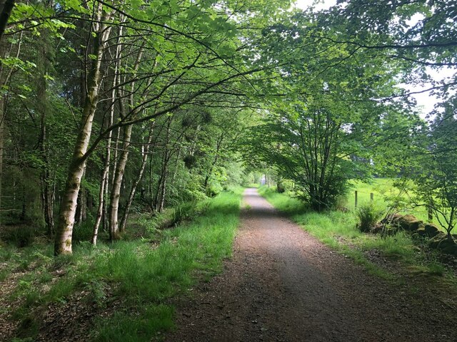
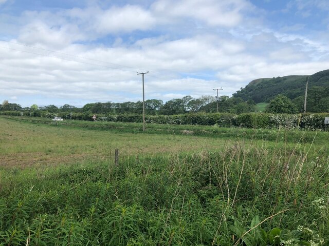
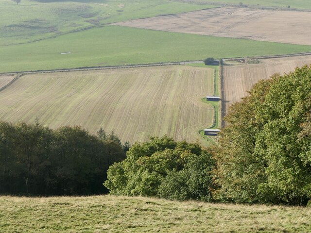
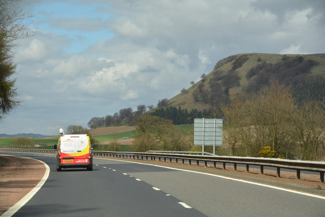
The hill is characterized by its rolling slopes and verdant landscape, adorned with heather, gorse, and scattered oak trees. Its exposed summit provides panoramic vistas of the surrounding countryside, including the tranquil Loch Leven and the stunning Ochil Hills in the distance. On clear days, visitors can even catch a glimpse of the majestic Ben Lomond, one of Scotland's highest peaks.

Windy Knowe is home to a variety of wildlife, with birdwatchers often spotting raptors such as kestrels and buzzards soaring above. The hill's diverse flora supports a rich ecosystem, offering a habitat for several species of wildflowers, including orchids and bluebells.

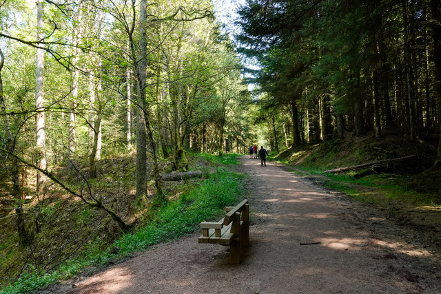
Hikers can access Windy Knowe through a well-marked trail that starts from Kinross. The ascent takes approximately 45 minutes to an hour, depending on one's pace, and the path is relatively easy to navigate. A visit to Windy Knowe is a rewarding experience for outdoor enthusiasts, providing a tranquil retreat from the hustle and bustle of everyday life.

Overall, Windy Knowe stands as a testament to the natural beauty of Kinross-shire, offering visitors a chance to immerse themselves in the stunning Scottish countryside and enjoy its unspoiled environment.

If you have any feedback on the listing, please let us know in the comments section below.
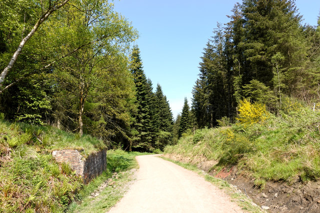
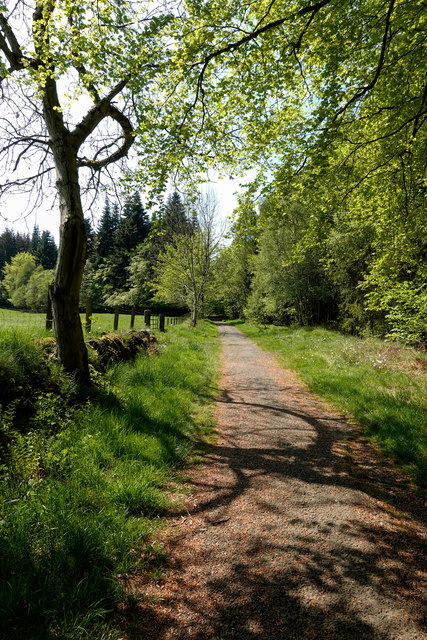
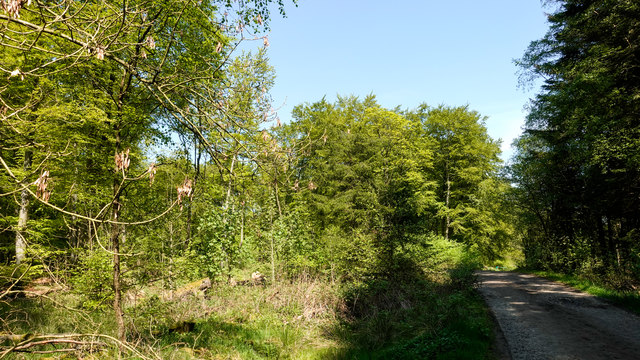
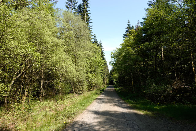
Windy Knowe Images

Images are sourced within 2km of 56.155238/-3.4140813 or Grid Reference NT1296. Thanks to Geograph Open Source API. All images are credited.
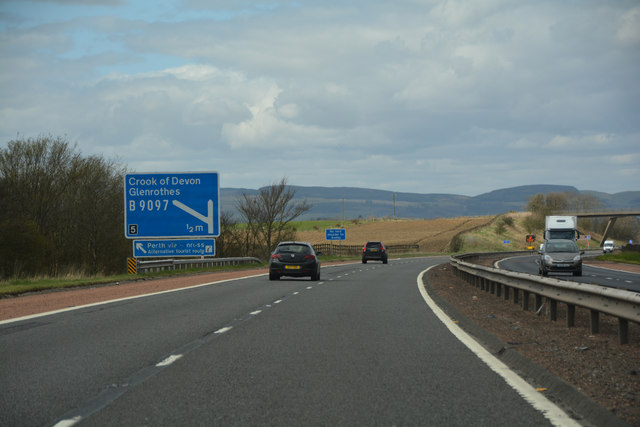
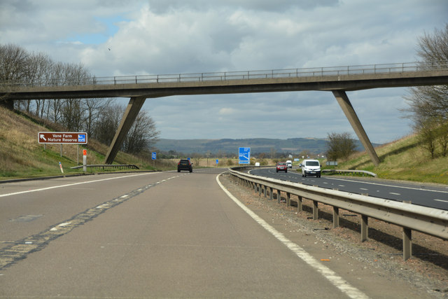
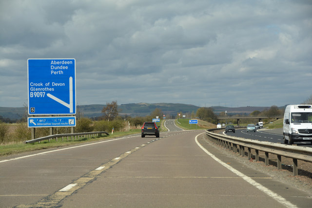
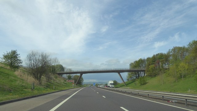
Fields at West Brackley Farmland to the north of Benarty Hill, which is a 2.5km long E-W-orientated hill used by glider pilots from the local gliding club when there are northerly winds.
Fields at West Brackley
Farmland to the north of Benarty Hill, which is a 2.5km long E-W-orientated hill used by glider pilots from the local gliding club when there are northerly winds.
North British Railway [track of]] The track of the Inverkeithing & Perth Section, long since closed [Dr Beeching?], which meant there was no longer a direct rail route north from Edinburgh. Looking south; the replacement is indicated by the road sign on the right, which is to J5 of the M90.
North British Railway [track of]]
The track of the Inverkeithing & Perth Section, long since closed [Dr Beeching?], which meant there was no longer a direct rail route north from Edinburgh. Looking south; the replacement is indicated by the road sign on the right, which is to J5 of the M90.
Leaving Blairadam Forest A track out of the woods, under the motorway to Keltybridge.
Leaving Blairadam Forest
A track out of the woods, under the motorway to Keltybridge.
Field, Blairforge
Field, Blairforge
B996, Lochran Former A90.
B996, Lochran
Former A90.
Blairadam rifle range View from near one of the poles for the red flags. The club are usually active at weekends judging from flag spotting from the M90 but a safe ascent possible today on a Tuesday.
Blairadam rifle range
View from near one of the poles for the red flags. The club are usually active at weekends judging from flag spotting from the M90 but a safe ascent possible today on a Tuesday.
Perth & Kinross : The M90 Motorway Heading north along the M90 Motorway.
Perth & Kinross : The M90 Motorway
Heading north along the M90 Motorway.
Perth & Kinross : The M90 Motorway Heading north along the M90 Motorway.
Perth & Kinross : The M90 Motorway
Heading north along the M90 Motorway.
Perth & Kinross : The M90 Motorway Looking along the M90 Motorway as it heads through Perth & Kinross.
Perth & Kinross : The M90 Motorway
Looking along the M90 Motorway as it heads through Perth & Kinross.
Perth & Kinross : The M90 Motorway Approaching junction 5 of the M90 Motorway.
Perth & Kinross : The M90 Motorway
Approaching junction 5 of the M90 Motorway.
Fruix Houses on the west side of the M90, seen from a footbridge over the motorway.
Fruix
Houses on the west side of the M90, seen from a footbridge over the motorway.
Forest road crossing route of old railway The road is in the Blairadam Forest which occupies an area with a coal mining history. The rail route is assumed to be a local one associated with the mining. The brickwork at the left side of the image is surely part of a buttress to a railway bridge. June Hodge has a Geograph image which shows embellishments to the brickwork of the buttress - <a title="https://www.geograph.org.uk/photo/2137643" href="https://www.geograph.org.uk/photo/2137643">Link</a>.
Forest road crossing route of old railway
The road is in the Blairadam Forest which occupies an area with a coal mining history. The rail route is assumed to be a local one associated with the mining. The brickwork at the left side of the image is surely part of a buttress to a railway bridge. June Hodge has a Geograph image which shows embellishments to the brickwork of the buttress - Link.
Path in Blairadam Forest near to M90 The broad path is heading further into the Blairadam Forest having passed through an underpass of the M90 motorway connecting it with Keltybridge.
Path in Blairadam Forest near to M90
The broad path is heading further into the Blairadam Forest having passed through an underpass of the M90 motorway connecting it with Keltybridge.
Forest road within Blairadam Forest The road, (in shadow), is one of many forest roads in the Blairadam Forest, a number of them being used in waymarked, footpath routes; this is not one of those.
Forest road within Blairadam Forest
The road, (in shadow), is one of many forest roads in the Blairadam Forest, a number of them being used in waymarked, footpath routes; this is not one of those.
Forest road in Blairadam Forest One of the roads in the Blairadam Forest heading east-north-east. Many roads have been incorporated into a waymarked system of paths; this isn't one of those. In this view most of the trees are deciduous.
Forest road in Blairadam Forest
One of the roads in the Blairadam Forest heading east-north-east. Many roads have been incorporated into a waymarked system of paths; this isn't one of those. In this view most of the trees are deciduous.
Path in Blairadam Forest on south side of Lochornle Burn The broad path is in use as a waymarked walking trail of the Blairadam Forest: the yellow one. The route has just crossed a bridge over the burn which lies below to the left.  A short distance to the east it will merge with the Pieries Burn to form the Kelty Burn.
Path in Blairadam Forest on south side of Lochornle Burn
The broad path is in use as a waymarked walking trail of the Blairadam Forest: the yellow one. The route has just crossed a bridge over the burn which lies below to the left. A short distance to the east it will merge with the Pieries Burn to form the Kelty Burn.
Path heading towards Pieries Burn Bridge The broad path is in use as a waymarked walking trail of the Blairadam Forest: the yellow one. It's seen heading west in this image.
The woodland, though deciduous and appearing to be natural, is not; it was developed by generations of the Adam family beginning in the 1730's.
Path heading towards Pieries Burn Bridge
The broad path is in use as a waymarked walking trail of the Blairadam Forest: the yellow one. It's seen heading west in this image. The woodland, though deciduous and appearing to be natural, is not; it was developed by generations of the Adam family beginning in the 1730's.
Bridge over M90
Bridge over M90
Show me another place!

Windy Knowe is located at Grid Ref: NT1296 (Lat: 56.155238, Lng: -3.4140813)

Unitary Authority: Perth and Kinross

Police Authority: Tayside

What 3 Words

///gift.fearfully.mysteries. Near Kelty, Fife

Related Wikis

Dowhill Castle

Dowhill Castle is a ruined castle in Perth and Kinross, Scotland. Sited on a hill near Loch Leven, the oldest part of the castle was built in around 1500...

Blairadam railway station

Blairadam railway station is a disused station in Fife, Scotland which was open from 1860 to 1964 on the Kinross-shire Railway. == History == The station...

Keltybridge

Keltybridge is a village in Perth and Kinross, Scotland, about one mile north of Kelty, which is across the Fife border. It stands on the northern banks...

Cleish

Cleish is a rural hamlet off the B9097 between Crook of Devon and the M90 motorway, three miles south-west of Kinross in central Scotland. It lies in the...

Nearby Amenities

Located within 500m of 56.155238,-3.4140813
Bambricks Wood
Place: locality
Lat/Long: 56.1507601/-3.4143597
Power: pole
Lat/Long: 56.1589042/-3.4182712
Power: pole
Lat/Long: 56.1587871/-3.416936
Power: pole
Lat/Long: 56.1585256/-3.4156295
Power: pole
Lat/Long: 56.1584471/-3.4145638
Power: pole
Lat/Long: 56.1583641/-3.4135879
Power: pole
Lat/Long: 56.1582516/-3.4121854
Power: pole
Lat/Long: 56.158139/-3.4108074
Power: pole
Lat/Long: 56.1580344/-3.4093906
Power: pole
Lat/Long: 56.157923/-3.4080575
Power: pole
Lat/Long: 56.1579048/-3.4200677
Power: pole
Lat/Long: 56.1580958/-3.4137839
Power: pole
Lat/Long: 56.1594635/-3.4129592
Power: pole
Lat/Long: 56.1594442/-3.4126223
Power: pole
Lat/Long: 56.1593987/-3.4119731
Power: pole
Lat/Long: 56.1593612/-3.4112667
Power: pole
Lat/Long: 56.1587461/-3.410936
The data included in this document is from www.openstreetmap.org. The data is made available under ODbL.

Have you been to Windy Knowe?

Leave your review of Windy Knowe below (or comments, questions and feedback).