Dukes Wood

Wood, Forest in Dumfriesshire

Scotland

Dukes Wood

Benchmark, Lockerbie Town Hall Detail of the Ordnance Survey flush bracket benchmark number G518 on the wall of Lockerbie Town Hall facing on to Bridge Street.  The benchmark marks a height of 79.1589m above mean sea level (Ordnance Datum Newlyn) last levelled in 1957 and verified in 1974 (location photograph <a href="https://www.geograph.org.uk/photo/6570804">NY1381 : Electrical Junction Box</a>).
Benchmark, Lockerbie Town Hall Credit: Adrian Taylor

Dukes Wood is a picturesque forest located in Dumfriesshire, Scotland. Covering an area of approximately 500 acres, the wood is characterized by its diverse range of tree species, including oak, beech, and Scots pine. The forest is a popular destination for nature enthusiasts, hikers, and birdwatchers due to its abundant wildlife and tranquil atmosphere.

Dukes Wood is home to a variety of bird species, such as woodpeckers, owls, and red kites, making it a prime spot for birdwatching. The wood is also inhabited by other wildlife, including deer, squirrels, and foxes, adding to its natural charm.

Visitors to Dukes Wood can explore its numerous walking trails, which wind through the forest and offer stunning views of the surrounding countryside. The wood is also equipped with picnic areas and benches, providing a perfect spot for a leisurely lunch or a moment of relaxation amidst nature.

Overall, Dukes Wood is a beautiful and peaceful forest that offers a welcome escape from the hustle and bustle of everyday life.

If you have any feedback on the listing, please let us know in the comments section below.
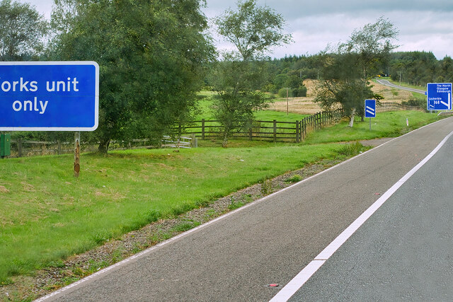
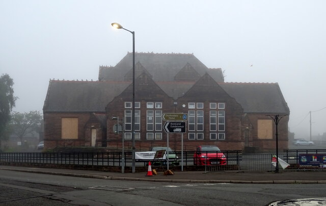
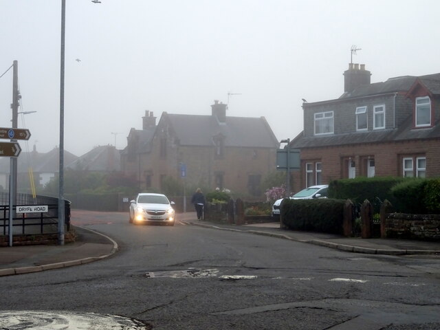
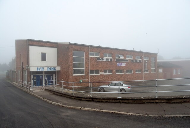
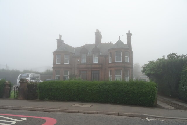
Dukes Wood Images

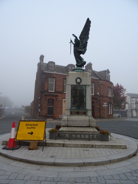
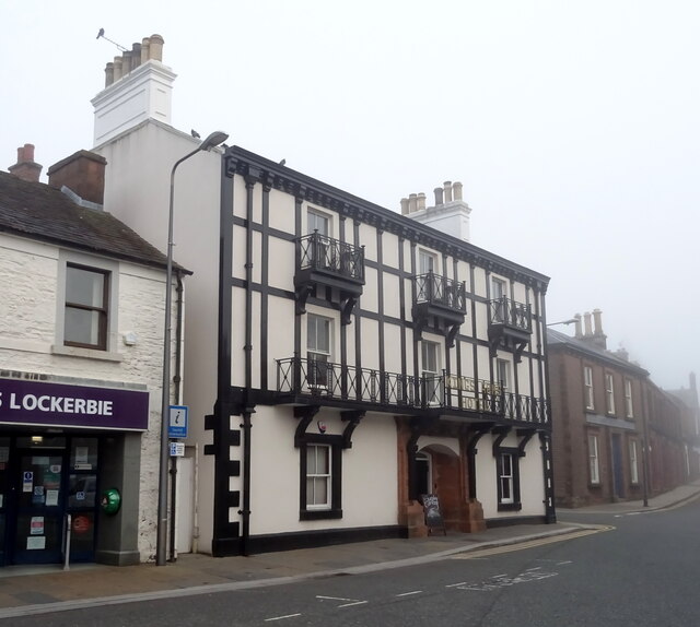
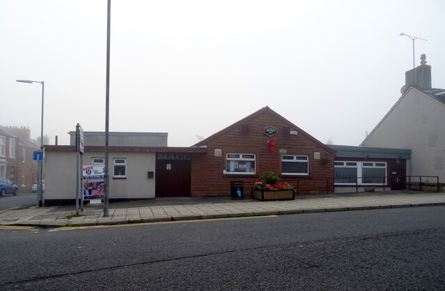
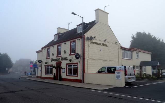
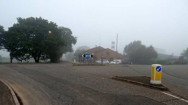
Images are sourced within 2km of 55.125605/-3.3814404 or Grid Reference NY1282. Thanks to Geograph Open Source API. All images are credited.

Benchmark, Lockerbie Town Hall Detail of the Ordnance Survey flush bracket benchmark number G518 on the wall of Lockerbie Town Hall facing on to Bridge Street.  The benchmark marks a height of 79.1589m above mean sea level (Ordnance Datum Newlyn) last levelled in 1957 and verified in 1974 (location photograph <a href="https://www.geograph.org.uk/photo/6570804">NY1381 : Electrical Junction Box</a>).
Benchmark, Lockerbie Town Hall
Detail of the Ordnance Survey flush bracket benchmark number G518 on the wall of Lockerbie Town Hall facing on to Bridge Street. The benchmark marks a height of 79.1589m above mean sea level (Ordnance Datum Newlyn) last levelled in 1957 and verified in 1974 (location photograph NY1381 : Electrical Junction Box).
Northbound A74(M) near Lockerbie The A74(M) and M74 form a major motorway which runs for over 80 miles in Scotland. Following an extension opened on 28 June 2011, it connects the M8 motorway west of Glasgow to the English border at Gretna,where it becomes the M6. In conjunction with the M6, it forms one of the two major cross-border routes between Scotland and England. As the motorway is one continuous route and has a continuous junction numbering system, the entire route is often erroneously referred to as M74 although, the section south of Abington (more than half its length) is officially the A74(M).

More information :
<span class="nowrap"><a title="http://www.sabre-roads.org.uk/wiki/index.php?title=M74/A74(M)" rel="nofollow ugc noopener" href="http://www.sabre-roads.org.uk/wiki/index.php?title=M74/A74(M)">Link</a><img style="margin-left:2px;" alt="External link" title="External link - shift click to open in new window" src="https://s1.geograph.org.uk/img/external.png" width="10" height="10"/></span>  SABRE Wiki
<span class="nowrap"><a title="http://en.wikipedia.org/wiki/A74(M)_and_M74_motorways" rel="nofollow ugc noopener" href="http://en.wikipedia.org/wiki/A74(M)_and_M74_motorways">Link</a><img style="margin-left:2px;" alt="External link" title="External link - shift click to open in new window" src="https://s1.geograph.org.uk/img/external.png" width="10" height="10"/></span>  Wikipedia
<span class="nowrap"><a title="http://www.cbrd.co.uk/motorway/m74" rel="nofollow ugc noopener" href="http://www.cbrd.co.uk/motorway/m74">Link</a><img style="margin-left:2px;" alt="External link" title="External link - shift click to open in new window" src="https://s1.geograph.org.uk/img/external.png" width="10" height="10"/></span>  cbrd
Northbound A74(M) near Lockerbie
The A74(M) and M74 form a major motorway which runs for over 80 miles in Scotland. Following an extension opened on 28 June 2011, it connects the M8 motorway west of Glasgow to the English border at Gretna,where it becomes the M6. In conjunction with the M6, it forms one of the two major cross-border routes between Scotland and England. As the motorway is one continuous route and has a continuous junction numbering system, the entire route is often erroneously referred to as M74 although, the section south of Abington (more than half its length) is officially the A74(M). More information : LinkExternal link SABRE Wiki LinkExternal link Wikipedia LinkExternal link cbrd
Royal Bar, Lockerbie On Station Road.
New paint scheme since 2015 - <a href="https://www.geograph.org.uk/photo/4689593">NY1381 : The Royal Bar, Lockerbie</a>
Royal Bar, Lockerbie
On Station Road. New paint scheme since 2015 - NY1381 : The Royal Bar, Lockerbie
Lockerbie Railway Station On a misty morning.
Lockerbie Railway Station
On a misty morning.
War Memorial, Lockerbie
The Kings Arms Hotel, Lockerbie On High Street.
The Kings Arms Hotel, Lockerbie
On High Street.
Mid Annandale Comrades Club, Lockerbie On High Street.
Mid Annandale Comrades Club, Lockerbie
On High Street.
The Townhead Hotel, Lockerbie On Townhead Street.
The Townhead Hotel, Lockerbie
On Townhead Street.
Dryfesdale School, Lockerbie Now closed and being converted into a community resouce.
Dryfesdale School, Lockerbie
Now closed and being converted into a community resouce.
Dryfe Road (B723), Lockerbie
Lockerbie Ice Rink On a misty autumn morning.
Lockerbie Ice Rink
On a misty autumn morning.
Houses on Glasgow Road Take on a misty autumn morning.
Houses on Glasgow Road
Take on a misty autumn morning.
Roundabout on Glasgow Road (B7068)
Approaching roundabout on the B7068
Field entrance off the B7076
National cycle route 74 Heading north beside the B7076.
National cycle route 74
Heading north beside the B7076.
B7076 towards Johnstone Bridge Heading north.
B7076 towards Johnstone Bridge
Heading north.
Houses, Dryfebridge
Houses, Dryfebridge
Show me another place!

Dukes Wood is located at Grid Ref: NY1282 (Lat: 55.125605, Lng: -3.3814404)

Unitary Authority: Dumfries and Galloway

Police Authority: Dumfries and Galloway

What 3 Words

///hotspot.objective.snores. Near Lockerbie, Dumfries & Galloway

Related Wikis

Johnsfield

Johnsfield is a settlement near Lockerbie in Dumfries and Galloway, Scotland. == External links == Scotland's places

Kintail Park

Kintail Park was a football ground in Lockerbie, Scotland. It was the home ground of Mid-Annandale, and hosted Scottish Football League matches between...

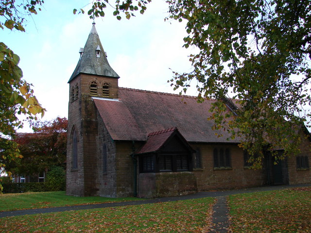
All Saints Church, Lockerbie

All Saints Church is in Ashgrove Terrace, Lockerbie, Dumfries and Galloway, Scotland. It is a Category B listed building and an active Scottish Episcopal...

Lockerbie Academy

Lockerbie Academy is a mainstream non-denominational secondary school in Lockerbie, Scotland. The head teacher is Brian Asher. The school roll is around...

Nearby Amenities

Located within 500m of 55.125605,-3.3814404
Power: pole
Lat/Long: 55.1292424/-3.3777434
Power: pole
Lat/Long: 55.1281673/-3.3778799
Power: pole
Lat/Long: 55.1284235/-3.379204
Power: pole
Lat/Long: 55.1286651/-3.3805769
Power: pole
Lat/Long: 55.1289331/-3.3820092
Power: pole
Lat/Long: 55.1292203/-3.3834826
Power: pole
Lat/Long: 55.1297033/-3.3846779
Power: pole
Lat/Long: 55.122065/-3.3783062
Power: pole
Lat/Long: 55.1228737/-3.3784943
Power: pole
Lat/Long: 55.1237001/-3.3786823
Power: pole
Lat/Long: 55.1244822/-3.3788678
Power: pole
Lat/Long: 55.1252186/-3.3790275
Power: pole
Lat/Long: 55.1259418/-3.3791898
Power: pole
Lat/Long: 55.126609/-3.3793315
Power: pole
Lat/Long: 55.1275943/-3.3805319
Power: pole
Lat/Long: 55.128045/-3.3807405
Power: pole
Lat/Long: 55.1286857/-3.3810651
Power: pole
Lat/Long: 55.1295016/-3.3814747
Power: pole
Lat/Long: 55.127073/-3.3768276
Power: pole
Lat/Long: 55.1265236/-3.3756581
Power: pole
Lat/Long: 55.126011/-3.3745917
Power: pole
Lat/Long: 55.1255648/-3.3736438
Power: pole
Lat/Long: 55.1249992/-3.3743109
Power: pole
Lat/Long: 55.124435/-3.375009
Power: pole
Lat/Long: 55.1238326/-3.3757071
Power: pole
Lat/Long: 55.1232479/-3.376382
Power: pole
Lat/Long: 55.1224289/-3.3765056
Power: pole
Lat/Long: 55.1282807/-3.3762764
Power: pole
Lat/Long: 55.1211974/-3.3809711
Power: pole
Lat/Long: 55.1215112/-3.3803683
The data included in this document is from www.openstreetmap.org. The data is made available under ODbL.

Have you been to Dukes Wood?

Leave your review of Dukes Wood below (or comments, questions and feedback).