Peter's Moss

Wood, Forest in Dumfriesshire

Scotland

Peter's Moss

Pond at Annandale Water Services
Pond at Annandale Water Services Credit: David Brown

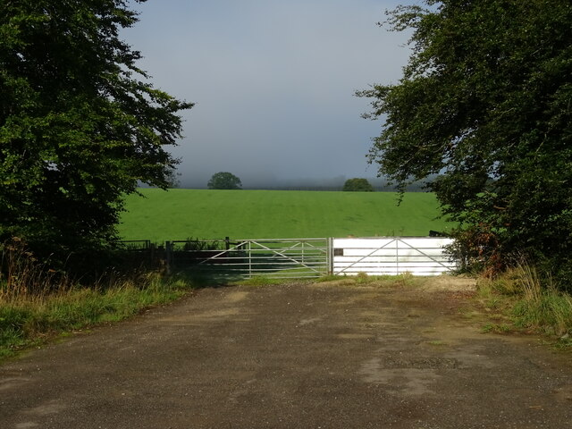
Peter's Moss is a picturesque woodland area located in Dumfriesshire, Scotland. Spanning over several acres, this enchanting forest is a haven for nature lovers and outdoor enthusiasts. The moss is named after Peter, the original owner of the land, and has become a popular destination for locals and tourists alike.

The forest boasts a diverse range of flora and fauna, with an abundance of native Scottish trees such as oak, birch, and pine. The tall, majestic trees create a dense canopy, allowing only dappled sunlight to filter through to the forest floor. This creates a mystical ambiance, perfect for exploring and immersing oneself in nature.

Peter's Moss is home to a variety of wildlife, including red squirrels, foxes, and an array of bird species. The tranquil environment provides a safe haven for these creatures, allowing them to thrive in their natural habitat.

Visitors to Peter's Moss can enjoy a range of activities, from leisurely walks along the well-maintained trails to birdwatching and photography. The serene atmosphere and breathtaking scenery make it an ideal spot for picnics and family outings. There are also designated areas for camping and barbecues, allowing visitors to fully immerse themselves in the beauty of the forest.

Furthermore, the moss is also steeped in history, with remnants of old stone walls and ruins scattered throughout the area. These remnants serve as a reminder of the rich cultural heritage of Dumfriesshire.

Overall, Peter's Moss is a captivating woodland that offers a tranquil escape from the hustle and bustle of everyday life. With its stunning natural beauty and a wealth of recreational opportunities, it is a must-visit destination for nature enthusiasts and those seeking solace in the great outdoors.

If you have any feedback on the listing, please let us know in the comments section below.
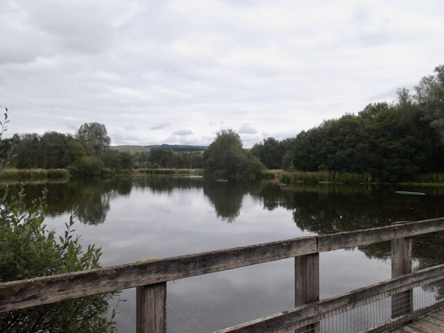
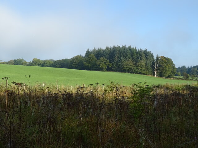
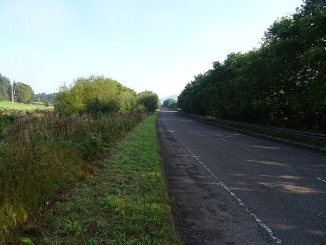
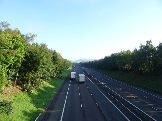
Peter's Moss Images

Images are sourced within 2km of 55.231433/-3.3855001 or Grid Reference NY1193. Thanks to Geograph Open Source API. All images are credited.

Pond at Annandale Water Services
Woodland beside the B7076
B7076 towards Beattock Heading north parallel to the A74(M).
B7076 towards Beattock
Heading north parallel to the A74(M).
Hillside farmland and woodland near Green Rigg
B7076 towards Beattock Heading north parallel to the A74(M).
B7076 towards Beattock
Heading north parallel to the A74(M).
A74(M) northbound near Green Rigg Towards Glasgow.
A74(M) northbound near Green Rigg
Towards Glasgow.
Field entrance off the B7076
Rough boggy area Close to the Annandale Services. Southbound on the A74 (M).
Rough boggy area
Close to the Annandale Services. Southbound on the A74 (M).
Track to Hillhouse A track on the Wamphray Glen circular walk which can be started either at Wamphray Bridge or by Wamphray Parish Church.
Track to Hillhouse
A track on the Wamphray Glen circular walk which can be started either at Wamphray Bridge or by Wamphray Parish Church.
Hillhouse farm Farmland south of the Wamphray Water. The Wamphray Glen circular walk goes left past the farm to meet the minor road near the bridge.
Hillhouse farm
Farmland south of the Wamphray Water. The Wamphray Glen circular walk goes left past the farm to meet the minor road near the bridge.
Overbridge, A74(M)
Overbridge, A74(M)
Approaching J16, A74(M) The A74(M) & M74  run over 80 miles from the M6 at the Scottish border near Gretna to the M8 at Glasgow. This is one of the two most important routeways into Scotland from the south. The last stretch of the M74 opened in 2011 (see <a title="https://www.geograph.org.uk/snippet/590" href="https://www.geograph.org.uk/snippet/590">Link</a> ).
Wikipedia: <span class="nowrap"><a title="http://en.wikipedia.org/wiki/A74(M)_and_M74_motorways" rel="nofollow ugc noopener" href="http://en.wikipedia.org/wiki/A74(M)_and_M74_motorways">Link</a><img style="margin-left:2px;" alt="External link" title="External link - shift click to open in new window" src="https://s1.geograph.org.uk/img/external.png" width="10" height="10"/></span>
Approaching J16, A74(M)
The A74(M) & M74 run over 80 miles from the M6 at the Scottish border near Gretna to the M8 at Glasgow. This is one of the two most important routeways into Scotland from the south. The last stretch of the M74 opened in 2011 (see Link ). Wikipedia: LinkExternal link
Road junction near Newton Wamphray
Minor road in Annandale
Minor road towards Lockerbie
Skip Knowe Standing Stone The standing stone at Skip Knowe.
Skip Knowe Standing Stone
The standing stone at Skip Knowe.
The loch at Annandale Water services from M74 south
The M74 Viewed from a bridge at Green Rig.
The M74
Viewed from a bridge at Green Rig.
Show me another place!

Peter's Moss is located at Grid Ref: NY1193 (Lat: 55.231433, Lng: -3.3855001)

Unitary Authority: Dumfries and Galloway

Police Authority: Dumfries and Galloway

What 3 Words

///crawled.doing.infringe. Near Johnstonebridge, Dumfries & Galloway

Nearby Locations

Murder Loch Peter's Moss

Related Wikis

Newton Wamphray

Newton Wamphray is a village in Dumfries and Galloway. Wamphray is the name of the surrounding parish and of the Wamphray Water, which flows south-west...

Wamphray railway station

Wamphray railway station served Newton Wamphray, near Beattock, in the Scottish county of Dumfries and Galloway. It was served by local trains on what...

Annandale Water services

Annandale Water services is a motorway service station in the village of Johnstonebridge, Scotland. The service station is located next to the A74(M) motorway...

Annandale Water

Annandale Water is a loch in Annandale, Dumfries and Galloway, in the south west of Scotland. It is part of Annandale Water service station at Junction...

Nearby Amenities

Located within 500m of 55.231433,-3.3855001
Power: pole
Lat/Long: 55.2291913/-3.3846527
Power: pole
Lat/Long: 55.230155/-3.3843577
Power: pole
Lat/Long: 55.2315515/-3.3838588
Power: pole
Lat/Long: 55.232249/-3.383553
Power: pole
Lat/Long: 55.2335475/-3.3829898
Power: pole
Lat/Long: 55.234352/-3.3830059
Power: pole
Lat/Long: 55.2352039/-3.3830622
Power: pole
Lat/Long: 55.2344889/-3.3907268
Power: pole
Lat/Long: 55.2283508/-3.3852839
Power: pole
Lat/Long: 55.2275854/-3.3858789
Power: pole
Lat/Long: 55.2346934/-3.3893442
Power: pole
Lat/Long: 55.2348829/-3.3881412
Power: pole
Lat/Long: 55.2350724/-3.3869434
Power: pole
Lat/Long: 55.2352575/-3.3857404
Power: pole
Lat/Long: 55.2354587/-3.3845297
Power: pole
Lat/Long: 55.2354043/-3.3831336
Power: pole
Lat/Long: 55.2353368/-3.3817529
The data included in this document is from www.openstreetmap.org. The data is made available under ODbL.

Have you been to Peter's Moss?

Leave your review of Peter's Moss below (or comments, questions and feedback).