Douglasie Plantation

Wood, Forest in Perthshire

Scotland

Douglasie Plantation

Charlotte Street, Stanley
Charlotte Street, Stanley Credit: Douglas Nelson

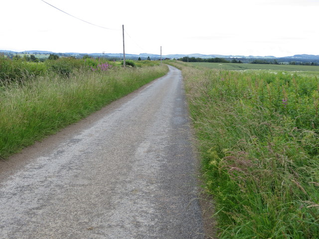
Douglasie Plantation is a picturesque woodland located in Perthshire, Scotland. Situated amidst the stunning landscapes of the region, this forested area is known for its abundant growth of Douglas Fir trees, hence the name.

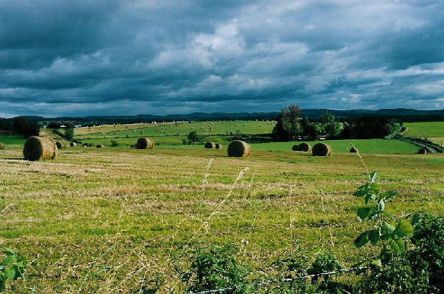
Spanning over a vast area, Douglasie Plantation offers a serene escape for nature lovers, hikers, and photographers alike. The forest boasts a diverse range of flora and fauna, making it an ideal habitat for various species. The towering Douglas Fir trees dominate the landscape, creating a majestic ambiance and providing a sheltered canopy for smaller plants and animals.

Visitors to Douglasie Plantation can explore the forest through a network of well-maintained trails, allowing for an immersive experience amidst nature. These trails meander through the woods, offering glimpses of the vibrant wildlife and enchanting woodland scenery. Birdwatchers will be delighted to spot various avian species, including woodpeckers, owls, and a variety of songbirds.

The plantation is also known for its sustainable forestry practices, with careful conservation efforts ensuring the preservation of the woodland ecosystem. This dedication to environmental stewardship has earned Douglasie Plantation recognition as an important site for biodiversity conservation in the region.

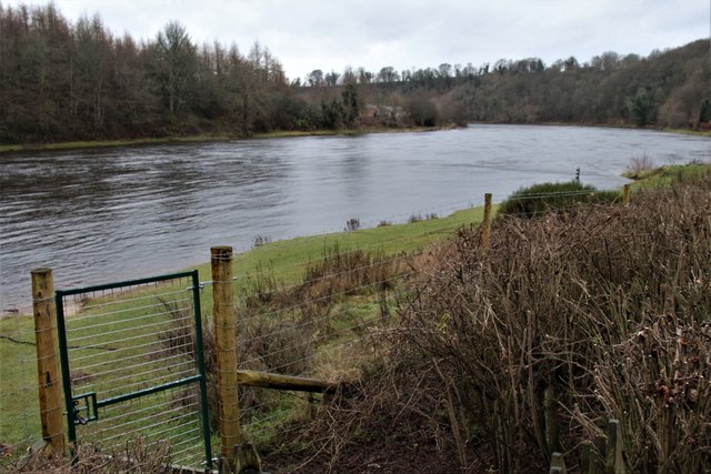
Located within close proximity to Perthshire's other natural attractions, such as Loch Tay and the Trossachs National Park, Douglasie Plantation provides an opportunity for visitors to immerse themselves in the beauty of the Scottish countryside. Whether it's a leisurely stroll or a more adventurous hike, this woodland sanctuary offers an escape from the hustle and bustle of daily life.

If you have any feedback on the listing, please let us know in the comments section below.

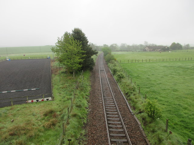
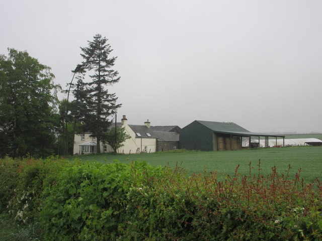
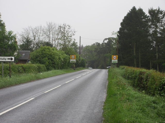
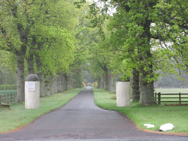
Douglasie Plantation Images

Images are sourced within 2km of 56.497586/-3.4459513 or Grid Reference NO1134. Thanks to Geograph Open Source API. All images are credited.

Charlotte Street, Stanley
Store Street, Stanley The village shop.
Store Street, Stanley
The village shop.
Campsie Linn A large dolerite dyke cutting across the River Tay.
Campsie Linn
A large dolerite dyke cutting across the River Tay.
Tayside Hotel, Stanley On Mill Street, and the source of a perfectly good lunch.
Tayside Hotel, Stanley
On Mill Street, and the source of a perfectly good lunch.
Mill Street, Stanley A mix of small bungalows and 1960's[?] villas.
Mill Street, Stanley
A mix of small bungalows and 1960's[?] villas.
Convenience store in Stanley
Detached houses at Burnmouth Ferry on the Tay
The Tay near Campsie Linn
Tayside Hotel, Stanley
Old Milestone by the B9099 near Drummond Hall Milestone by the B9099, in parish of Kinclaven (Perth and Kinross District), Drummondhall Farm, in ditch.

Inscription once read:-
: (Caputh 2½) : : (Perth 9¼) :

Surveyed

Milestone Society National ID: PK_PTDK09
Old Milestone by the B9099 near Drummond Hall
Milestone by the B9099, in parish of Kinclaven (Perth and Kinross District), Drummondhall Farm, in ditch. Inscription once read:- : (Caputh 2½) : : (Perth 9¼) : Surveyed Milestone Society National ID: PK_PTDK09
Old Milestone by the B9099, West Tofts Milestone by the B9099, in parish of Kinclaven (Perth and Kinross District), North of West Tofts, on verge nr house, Ballacraine.

Inscription once read:-
: (Perth / 8¼) : : (Caputh / 3½) :
Carved benchmark recorded.

Surveyed

Milestone Society National ID: PK_PTDK08
Old Milestone by the B9099, West Tofts
Milestone by the B9099, in parish of Kinclaven (Perth and Kinross District), North of West Tofts, on verge nr house, Ballacraine. Inscription once read:- : (Perth / 8¼) : : (Caputh / 3½) : Carved benchmark recorded. Surveyed Milestone Society National ID: PK_PTDK08
Knockshinnan House The house at Knockshinnan, viewed from the roadside to the south.
Knockshinnan House
The house at Knockshinnan, viewed from the roadside to the south.
Sign for Taymount Mains Taymount Mains sign at the roadside entrance to the north-west.
Sign for Taymount Mains
Taymount Mains sign at the roadside entrance to the north-west.
Perth to Inverness railway line Railway line headed for Perth, viewed from the bridge at Taymount, with the dressage area to the left.
Perth to Inverness railway line
Railway line headed for Perth, viewed from the bridge at Taymount, with the dressage area to the left.
Stanley Farm Stanley Farm viewed from the B9099 to the north-east.
Stanley Farm
Stanley Farm viewed from the B9099 to the north-east.
B9099 approaching Stanley The B9099 approaching the village of Stanley from the north.
B9099 approaching Stanley
The B9099 approaching the village of Stanley from the north.
Entrance to Laguna House The entrance to Laguna House from the B9099 to the west.
Entrance to Laguna House
The entrance to Laguna House from the B9099 to the west.
Minor road heading towards Stanley Looking south-eastward.
Minor road heading towards Stanley
Looking south-eastward.
Show me another place!

Douglasie Plantation is located at Grid Ref: NO1134 (Lat: 56.497586, Lng: -3.4459513)

Unitary Authority: Perth and Kinross

Police Authority: Tayside

What 3 Words

///outs.propelled.predict. Near Stanley, Perth & Kinross

Related Wikis

Stanley (SMJR) railway station

Stanley railway station was located in the Scottish village of Stanley, Perthshire and was opened in 1848 and closed in 1857, when the new station of Stanley...

Airntully

Airntully () is a village in the Scottish council area of Perth and Kinross, which is to the west of the River Tay, 8 miles (11 km) north of Perth. In...

Stanley, Perthshire

Stanley is a village on the north side of the River Tay in Perthshire, Scotland, around 6 miles (10 kilometres) north of Perth. The section of the River...

Stobhall

Stobhall (or Stobhall Castle) is a country house and estate in Perthshire in Scotland, 8 miles (13 km) from Perth. The 17th-century dower house and several...

Nearby Amenities

Located within 500m of 56.497586,-3.4459513
Power: pole
Lat/Long: 56.4967712/-3.453882
Material: wood
Power: pole
Lat/Long: 56.4945155/-3.44046
Material: wood
Power: pole
Lat/Long: 56.4948829/-3.4411835
Power: pole
Lat/Long: 56.4962968/-3.4495479
Power: pole
Lat/Long: 56.4957921/-3.4499916
The data included in this document is from www.openstreetmap.org. The data is made available under ODbL.

Have you been to Douglasie Plantation?

Leave your review of Douglasie Plantation below (or comments, questions and feedback).