Beldcraig Wood
Wood, Forest in Dumfriesshire
Scotland
Beldcraig Wood

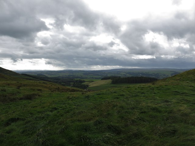
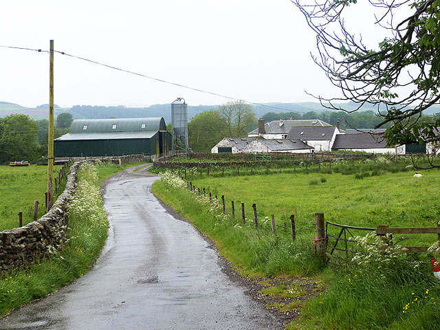
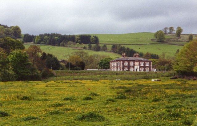
Beldcraig Wood is a picturesque forest located in Dumfriesshire, Scotland. Covering an area of approximately 200 acres, it is a popular destination for nature lovers and outdoor enthusiasts.
The wood is predominantly composed of native Scottish tree species such as oak, birch, and pine, creating a diverse and vibrant ecosystem. The dense foliage provides a habitat for a variety of wildlife, including red squirrels, roe deer, and numerous species of birds. Birdwatchers can spot woodpeckers, jays, and thrushes among the treetops.
The woodland is crisscrossed by a network of well-maintained trails, making it easy for visitors to explore its natural beauty. These paths lead to several interesting features, such as a tranquil pond and a babbling brook. The gurgling sound of water and the sight of sunlight filtering through the trees create a serene and tranquil atmosphere, perfect for relaxing walks or peaceful picnics.
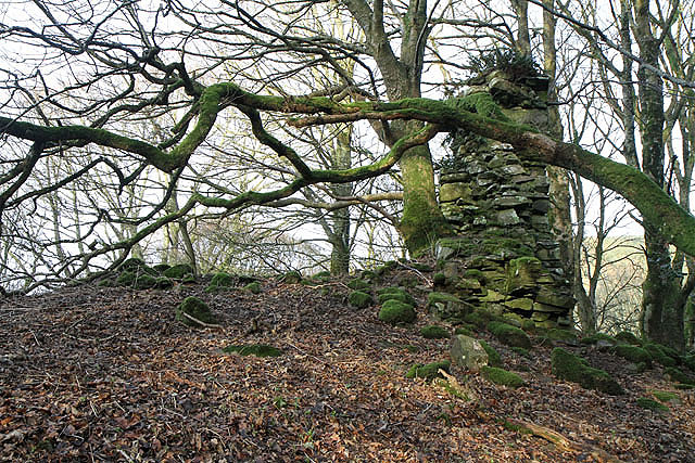
In addition to its natural charm, Beldcraig Wood also holds historical significance. There are remnants of ancient stone walls and abandoned farmsteads, serving as reminders of the area's past. These historical features add an extra layer of intrigue and provide opportunities for those interested in the region's heritage to delve into its rich history.
Overall, Beldcraig Wood offers a delightful escape from the hustle and bustle of everyday life. With its stunning scenery, diverse wildlife, and historical remnants, it is a true gem within the Dumfriesshire landscape.
If you have any feedback on the listing, please let us know in the comments section below.
Beldcraig Wood Images
Images are sourced within 2km of 55.298311/-3.4021164 or Grid Reference NT1101. Thanks to Geograph Open Source API. All images are credited.


Beldcraig Wood is located at Grid Ref: NT1101 (Lat: 55.298311, Lng: -3.4021164)
Unitary Authority: Dumfries and Galloway
Police Authority: Dumfries and Galloway
What 3 Words
///galaxy.useful.dote. Near Beattock, Dumfries & Galloway
Nearby Locations
Related Wikis

Kirkpatrick-Juxta
Kirkpatrick-Juxta is a parish in Dumfries and Galloway on the A701, between Biggar, Moffat and Lockerbie. The parish straddles the main road A74 (M). It...
Cornal Tower
Cornal Tower is the ruins of a tower house located near Moffat, Dumfries-shire, Scotland. Alternative names are Polcornare, Cornal Burn, or Logan. The...

Beattock railway station
Beattock railway station was a station which served the village of Beattock, in the parish of Kirkpatrick-Juxta in the Scottish county of Dumfries and...
Beattock
Beattock is a village in Dumfries and Galloway, Scotland, approximately 1⁄2 mile (800 metres) southwest of Moffat and 19 miles (31 kilometres) north of...
Have you been to Beldcraig Wood?
Leave your review of Beldcraig Wood below (or comments, questions and feedback).