Leckerstone Strip
Wood, Forest in Fife
Scotland
Leckerstone Strip
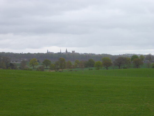
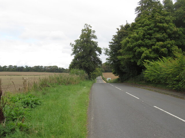
Leckerstone Strip is a picturesque woodland located in Fife, Scotland. This enchanting forest is nestled amidst the scenic landscape of the region, offering visitors a tranquil retreat away from the bustling city life.
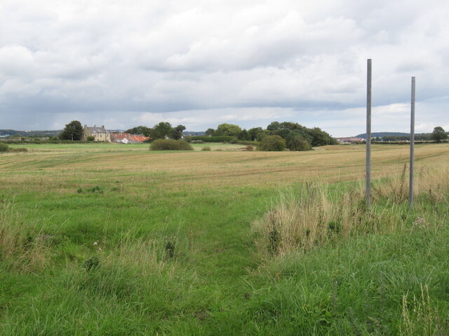
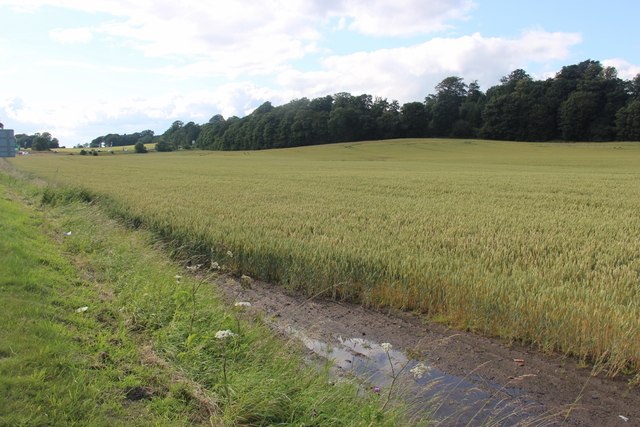
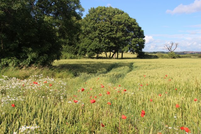
Covering an area of approximately 100 acres, Leckerstone Strip is known for its diverse range of tree species, including oak, birch, beech, and pine. The rich variety of flora and fauna found here provides a haven for wildlife, making it a popular destination for nature enthusiasts and birdwatchers.
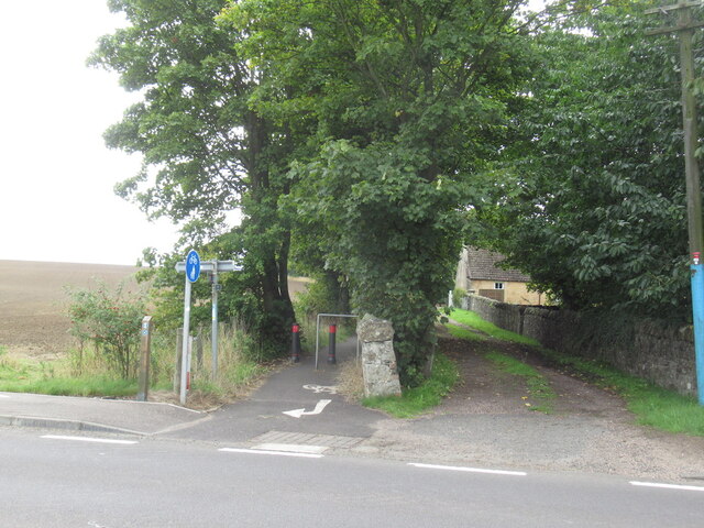
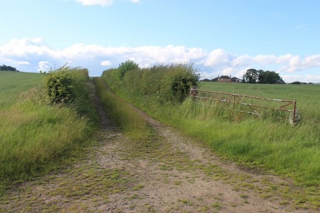
The wood offers a network of well-maintained trails that wind through the dense forest, allowing visitors to explore its beauty at their own pace. These paths provide an opportunity to immerse oneself in the natural surroundings, with occasional clearings offering scenic viewpoints and picnic spots.
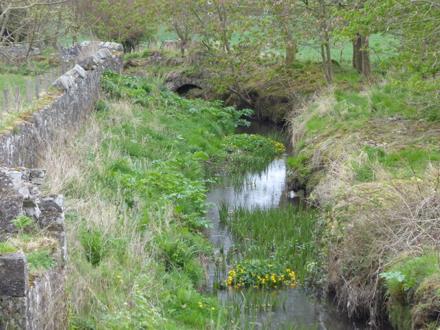
Leckerstone Strip also boasts a small stream that meanders through the woodland, adding to its charm and providing a soothing ambiance. The sound of trickling water combined with the gentle rustling of leaves creates a serene atmosphere that further enhances the overall experience.
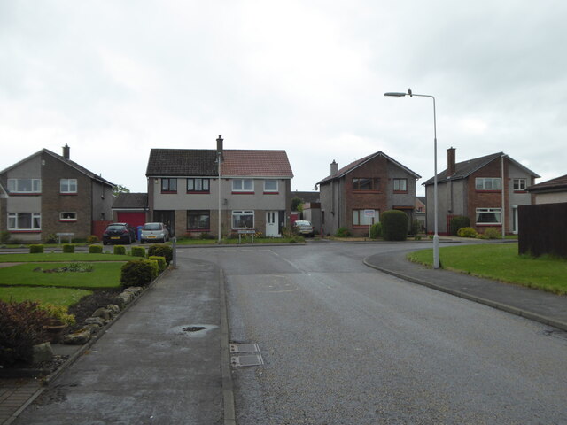
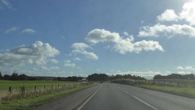
The forest is easily accessible, with a car park located nearby for visitors' convenience. It is advised to wear appropriate footwear and clothing, as some sections of the trails can be uneven or muddy, especially after rainfall.
Overall, Leckerstone Strip in Fife is a captivating woodland that offers a peaceful escape into nature. Its stunning scenery, diverse wildlife, and well-maintained trails make it an ideal destination for those seeking solace and a deeper connection with the natural world.
If you have any feedback on the listing, please let us know in the comments section below.
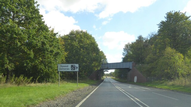
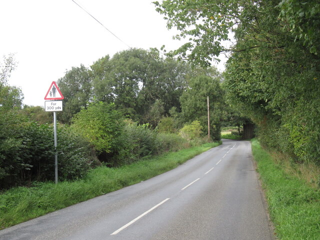
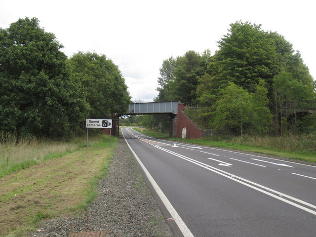
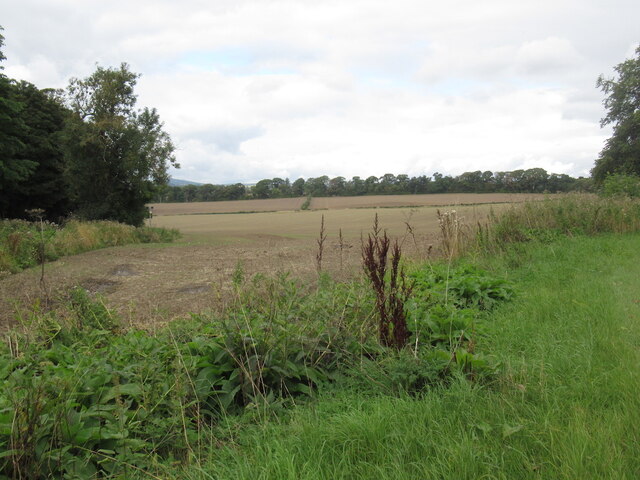
Leckerstone Strip Images
Images are sourced within 2km of 56.047812/-3.4719761 or Grid Reference NT0884. Thanks to Geograph Open Source API. All images are credited.

Leckerstone Strip is located at Grid Ref: NT0884 (Lat: 56.047812, Lng: -3.4719761)
Unitary Authority: Fife
Police Authority: Fife
What 3 Words
///organ.pines.insert. Near Limekilns, Fife
Nearby Locations
Related Wikis

Broomhall House
Broomhall House is the family seat of the Earls of Elgin, three miles (4.8 kilometres) south-west of Dunfermline, sitting above the village of Limekilns...
Pattiesmuir
Pattiesmuir (formerly Pettimuir, Pettymuir and also known as Patiemuir, Patiesmuir and Peattie Muir) is a small, dormitory hamlet located in the west of...
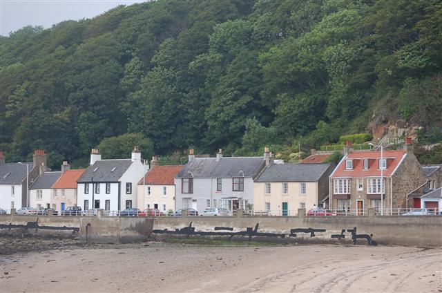
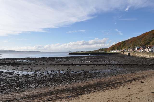
Limekilns
Limekilns is a village in Fife, Scotland. It lies on the shore of the Firth of Forth, around 3 miles (5 km) south of Dunfermline. == History and economy... ==
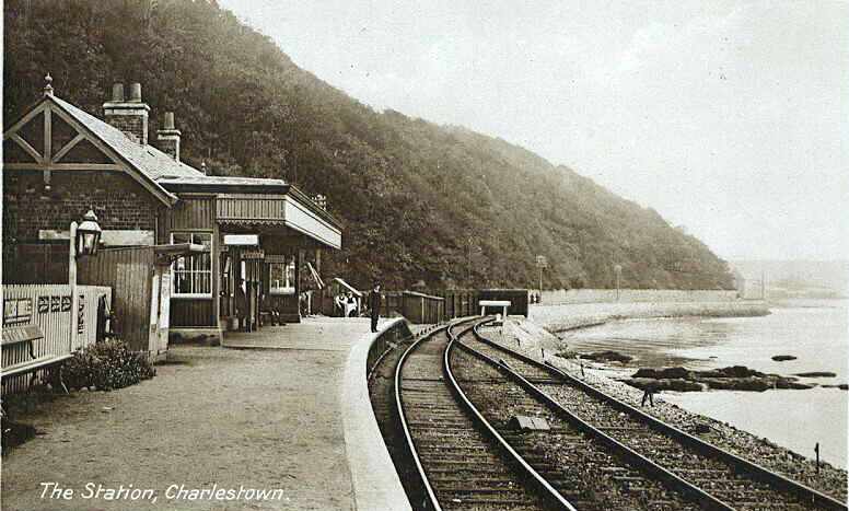
Charlestown (KL) railway station
Charlestown railway station served the town of Charlestown, Fife, Scotland from 1894 to 1926 on the Kincardine Line. == History == The station opened on...
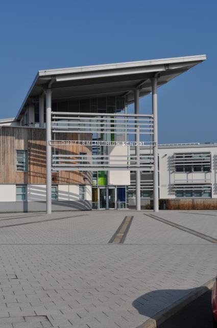
Dunfermline High School
Dunfermline High School is one of four main high schools located in Dunfermline, Fife, Scotland. The school also caters for pupils from Kincardine, Rosyth...

HMS Scotia (shore establishment)
HMS Scotia is one of the newest Royal Naval Reserve units, formed in 1958, and currently recruiting from the east of Scotland. The unit inhabits spacious...
HMS Caledonia (base)
His Majesty’s Ship Caledonia (HMS Caledonia) is a military establishment of the Royal Navy based next to the former Royal Naval Dockyard, Rosyth in Scotland...

Pittencrieff Park
Pittencrieff Park (known locally as "The Glen") is a public park in Dunfermline, Fife, Scotland. It was purchased in 1902 by Andrew Carnegie, and given...
Related Videos
![Fife Walking Trail - Limekilns and Charlestown [Outlander Film Set]](https://i.ytimg.com/vi/31LnYpSIFbM/hqdefault.jpg)
Fife Walking Trail - Limekilns and Charlestown [Outlander Film Set]
This walking trail in Fife starts at a free car park in Limekilns harbour. We follow the coastal path past the remains of Rosyth ...

Walking with Tamson, episode 85. Andrew Carnegie & Pittencrieff Park. Dunfermline, Scotland
A wee wander through Pittencrieff park.
Walking Around Dunfermline Abbey, Fife, Edinburgh - Exploring Scottish History and Architecture
Join me on a relaxing walk around Dunfermline Abbey, located in the beautiful town of Dunfermline in Fife, Scotland, just a short ...

DUNFERMLINE ABBEY - Resting Place of KING ROBERT THE BRUCE - Scotland Walking Tour | 4K | 60FPS
Dunfermline Abbey is a Church of Scotland parish church in Dunfermline, Fife, Scotland. The church is the final resting place of ...
Nearby Amenities
Located within 500m of 56.047812,-3.4719761Have you been to Leckerstone Strip?
Leave your review of Leckerstone Strip below (or comments, questions and feedback).