Hillock Wood
Wood, Forest in Fife
Scotland
Hillock Wood

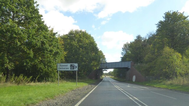
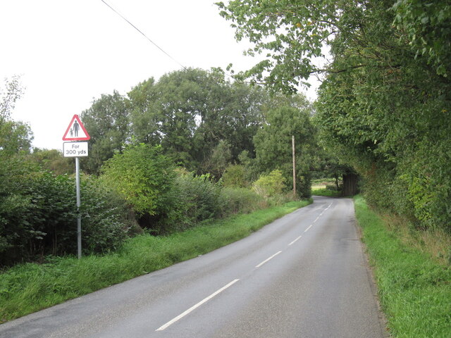
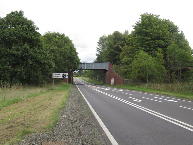
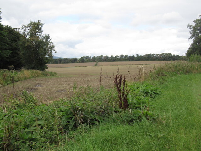
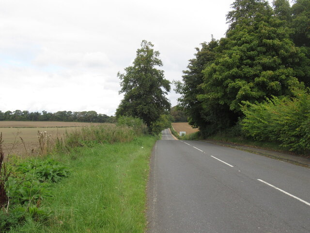
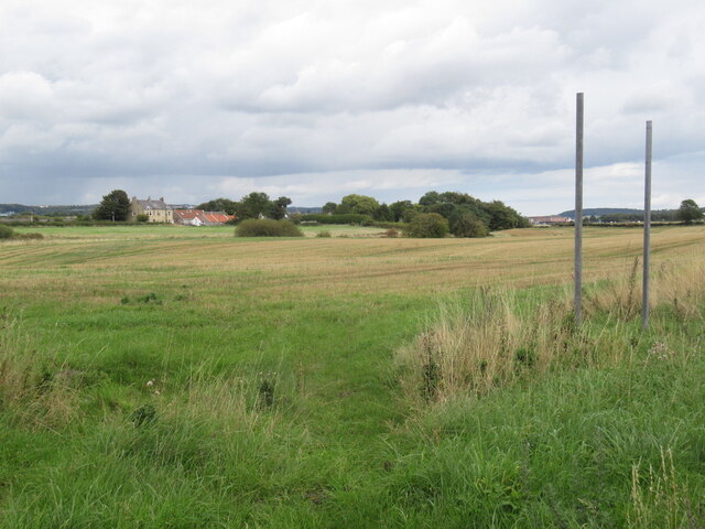
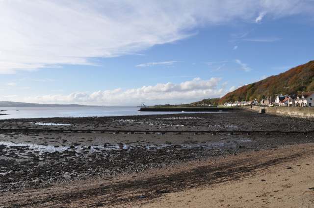
Hillock Wood is a beautiful woodland located in Fife, Scotland. Covering an area of approximately 50 acres, this enchanting forest is a popular destination for nature lovers and outdoor enthusiasts alike.
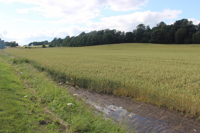
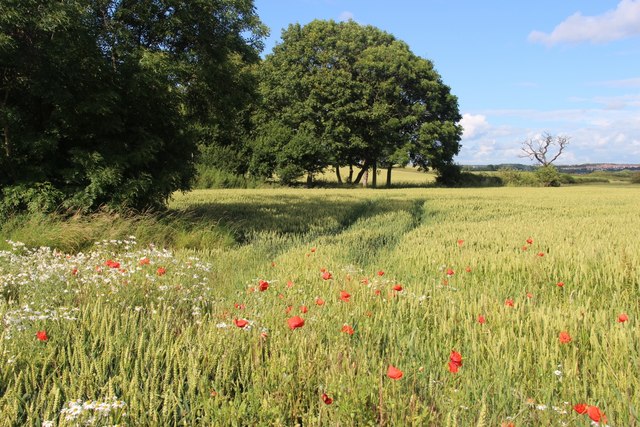
The wood is characterized by its dense canopy of ancient trees, including oak, beech, and birch, which provide a haven for a diverse range of wildlife. Visitors to Hillock Wood can expect to encounter a variety of bird species, such as woodpeckers, owls, and finches, as well as small mammals like squirrels and rabbits. The forest floor is adorned with a vibrant carpet of wildflowers, adding to the picturesque scenery.
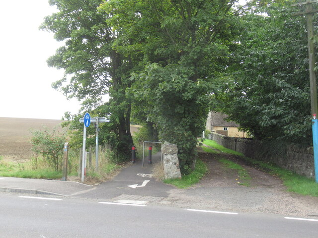
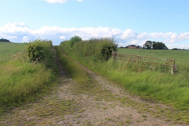
Traversing through Hillock Wood, visitors will find well-maintained pathways that wind their way through the woodland, allowing for enjoyable walks and hikes. These pathways are suitable for all ages and fitness levels, making it an ideal destination for families and individuals looking for a peaceful escape from the hustle and bustle of everyday life.
The wood is also home to a small pond, which provides a tranquil spot for visitors to relax and observe the local wildlife. Picnic areas and benches are scattered throughout the wood, offering the perfect opportunity to take a break and soak in the natural surroundings.
Hillock Wood is easily accessible by both car and public transport, with ample parking facilities available nearby. The wood is open to the public year-round, allowing visitors to experience its beauty in every season, from the vibrant colors of autumn to the fresh greenery of spring.
Overall, Hillock Wood is a stunning woodland oasis that offers a peaceful retreat for individuals and families seeking to connect with nature and enjoy the tranquility of the Scottish countryside.
If you have any feedback on the listing, please let us know in the comments section below.
Hillock Wood Images
Images are sourced within 2km of 56.041788/-3.4723246 or Grid Reference NT0884. Thanks to Geograph Open Source API. All images are credited.


Hillock Wood is located at Grid Ref: NT0884 (Lat: 56.041788, Lng: -3.4723246)
Unitary Authority: Fife
Police Authority: Fife
What 3 Words
///closer.puts.storms. Near Limekilns, Fife
Nearby Locations
Related Wikis

Broomhall House
Broomhall House is the family seat of the Earls of Elgin, three miles (4.8 kilometres) south-west of Dunfermline, sitting above the village of Limekilns...
Limekilns
Limekilns is a village in Fife, Scotland. It lies on the shore of the Firth of Forth, around 3 miles (5 km) south of Dunfermline. == History and economy... ==
Pattiesmuir
Pattiesmuir (formerly Pettimuir, Pettymuir and also known as Patiemuir, Patiesmuir and Peattie Muir) is a small, dormitory hamlet located in the west of...
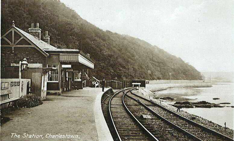
Charlestown (KL) railway station
Charlestown railway station served the town of Charlestown, Fife, Scotland from 1894 to 1926 on the Kincardine Line. == History == The station opened on...

HMS Scotia (shore establishment)
HMS Scotia is one of the newest Royal Naval Reserve units, formed in 1958, and currently recruiting from the east of Scotland. The unit inhabits spacious...
HMS Caledonia (base)
His Majesty’s Ship Caledonia (HMS Caledonia) is a military establishment of the Royal Navy based next to the former Royal Naval Dockyard, Rosyth in Scotland...
Charlestown railway station (ER)
Charlestown (ER) railway station served the town of Charlestown, Fife, Scotland from 1833 to 1863 on the Elgin Railway. == History == The station opened...

Goliath (Rosyth)
Goliath is a crane in Rosyth Dockyard, Scotland, with a lift capacity of 1,000 tonnes (980 long tons; 1,100 short tons), the largest in Britain. ��2�...
Nearby Amenities
Located within 500m of 56.041788,-3.4723246Have you been to Hillock Wood?
Leave your review of Hillock Wood below (or comments, questions and feedback).