Broxden wood
Wood, Forest in Perthshire
Scotland
Broxden wood
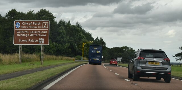
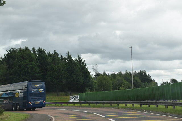
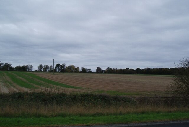
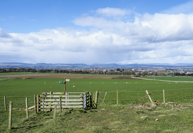
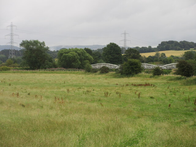
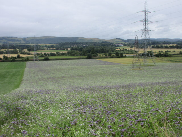
Broxden Wood is a picturesque forest located in Perthshire, Scotland. Covering an area of approximately 100 hectares, it is a popular destination for nature enthusiasts and outdoor lovers. The wood is situated just off the A9 road, making it easily accessible for visitors from all over the country.
The forest is predominantly composed of native broadleaf trees, including oak, birch, and beech. These trees create a dense canopy that provides shelter for a variety of wildlife, including birds, mammals, and insects. The wood is particularly known for its vibrant bird population, with species such as woodpeckers, tits, and finches frequently spotted among the treetops.
A network of well-maintained trails winds through Broxden Wood, offering visitors the opportunity to explore its natural beauty on foot. These pathways cater to all levels of fitness and provide stunning views of the surrounding countryside. Along the trails, visitors may come across charming wooden sculptures and benches, providing resting spots and enhancing the overall experience.
Broxden Wood is not only a haven for wildlife and visitors, but it also serves as an important ecological site. The forest is part of a larger conservation area, with ongoing efforts to protect and preserve its unique habitat. Local authorities work to maintain the wood's biodiversity and encourage public appreciation and understanding of its ecological significance.
Overall, Broxden Wood is a delightful destination for nature lovers, offering breathtaking scenery, diverse wildlife, and tranquil walking trails. Whether visiting for a leisurely stroll, birdwatching, or simply to reconnect with nature, this enchanting forest provides an unforgettable experience for all who venture into its leafy embrace.
If you have any feedback on the listing, please let us know in the comments section below.
Broxden wood Images
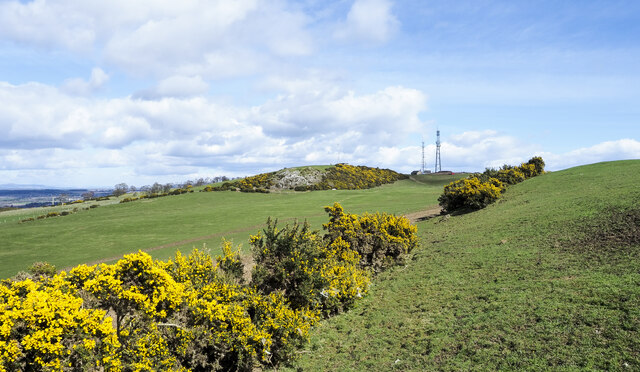
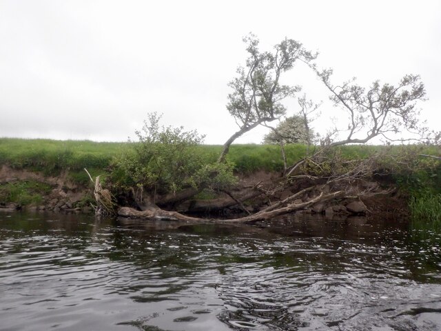
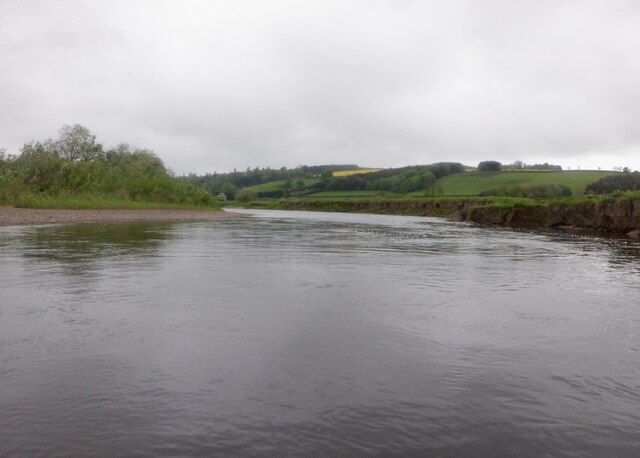
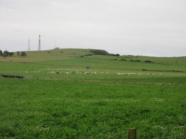
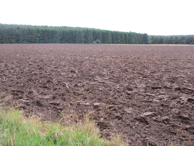
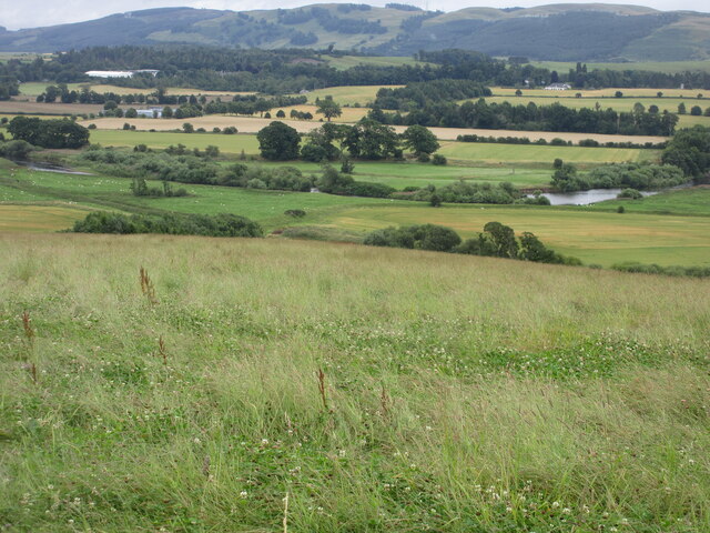
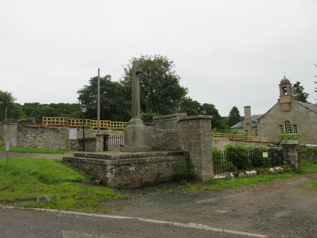
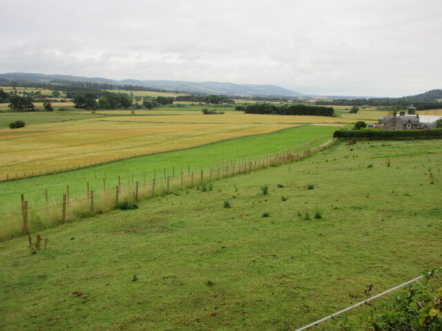
Images are sourced within 2km of 56.377019/-3.4851186 or Grid Reference NO0821. Thanks to Geograph Open Source API. All images are credited.
Broxden wood is located at Grid Ref: NO0821 (Lat: 56.377019, Lng: -3.4851186)
Unitary Authority: Perth and Kinross
Police Authority: Tayside
What 3 Words
///small.wonderfully.roses. Near Perth, Perth & Kinross
Nearby Locations
Related Wikis
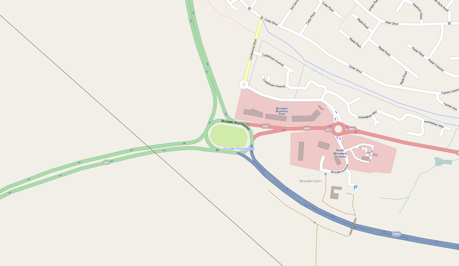
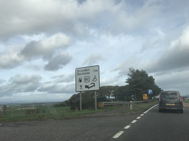
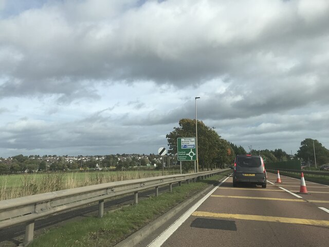
Broxden Junction
Broxden Junction (also known as Broxden Roundabout or Broxden Interchange) is one of the busier and more important road junctions in Scotland. It is located...

Aberdalgie
Aberdalgie (Gaelic: Obar Dheilgidh, 'Confluence of the Thorn-Stream') is a small village in the Scottish council area of Perth and Kinross. It is 3 miles...

Cherrybank Gardens
Cherrybank Gardens was a public garden in the southwestern outskirts of the Scottish city of Perth. Originally Bell's Cherrybank Gardens, when it was created...
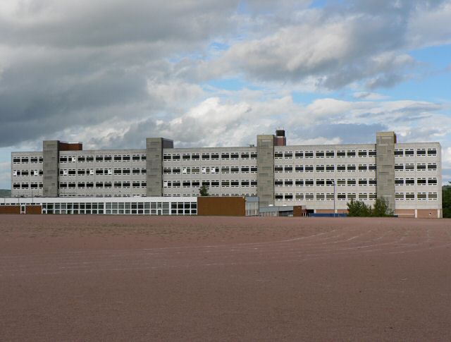
Perth High School
Perth High School is a six-year, non-denominational comprehensive secondary school in Perth, Scotland. Established in 1950 at Gowans Terrace in a post...
Nearby Amenities
Located within 500m of 56.377019,-3.4851186Have you been to Broxden wood?
Leave your review of Broxden wood below (or comments, questions and feedback).