Keppie Wood

Wood, Forest in Perthshire

Scotland

Keppie Wood

Cones, A9 The A9 is a strategic link between the Highlands of Scotland and the Central Belt. It runs 279 miles from junction 5 of the M9 at Polmont to Scrabster. Originally it ran from Edinburgh.
<span class="nowrap"><a title="https://www.sabre-roads.org.uk/wiki/index.php?title=A9" rel="nofollow ugc noopener" href="https://www.sabre-roads.org.uk/wiki/index.php?title=A9">Link</a><img style="margin-left:2px;" alt="External link" title="External link - shift click to open in new window" src="https://s1.geograph.org.uk/img/external.png" width="10" height="10"/></span>
Cones, A9 Credit: N Chadwick

The requested URL returned error: 429 Too Many Requests

If you have any feedback on the listing, please let us know in the comments section below.
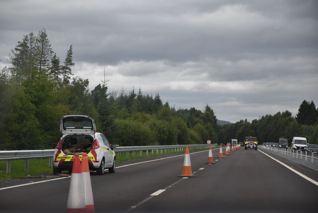
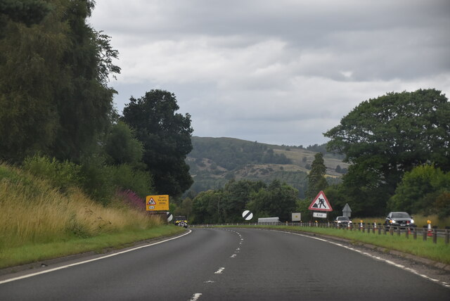
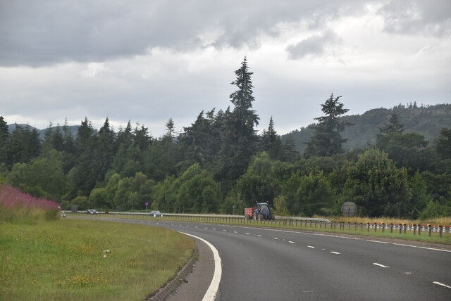
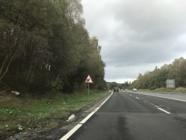
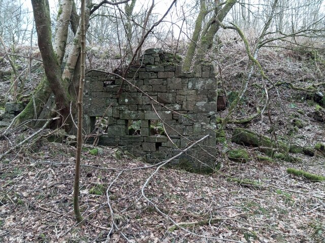
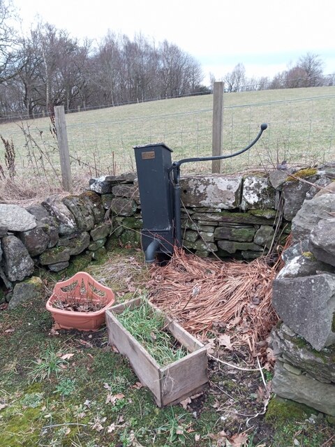
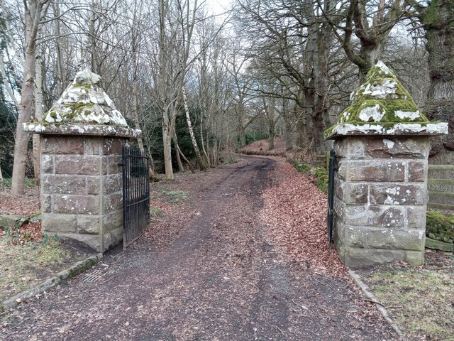
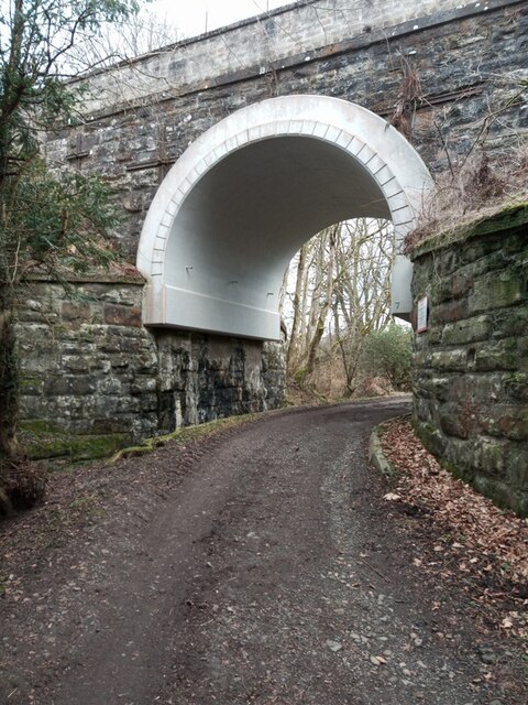
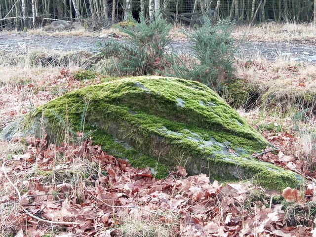
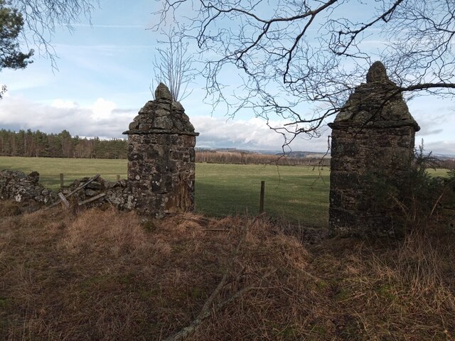
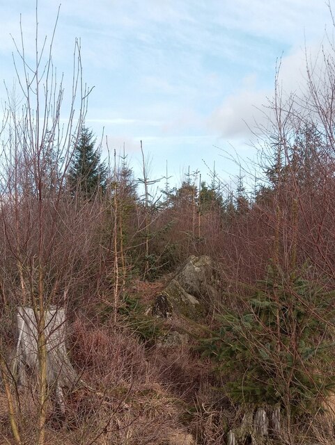
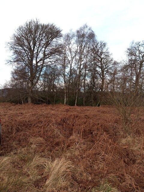
Keppie Wood Images

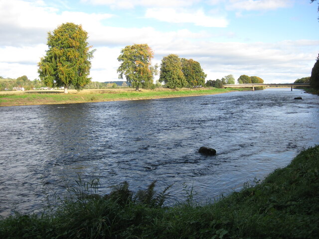
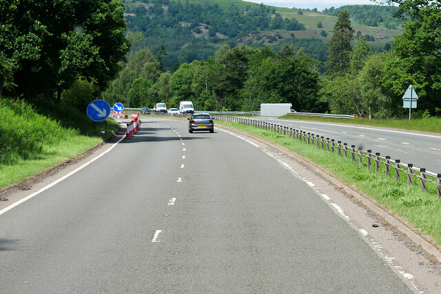
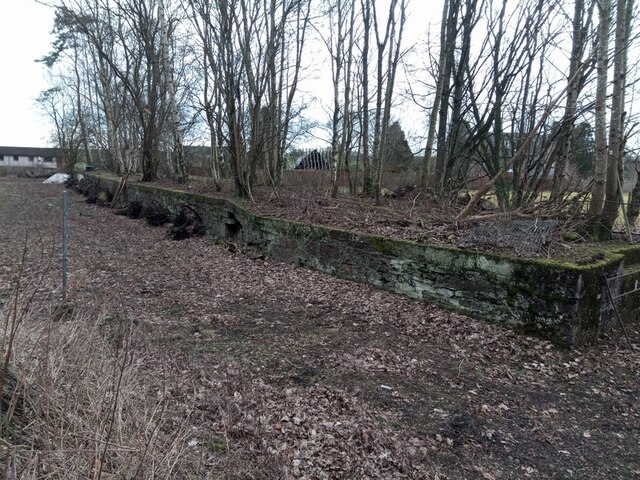
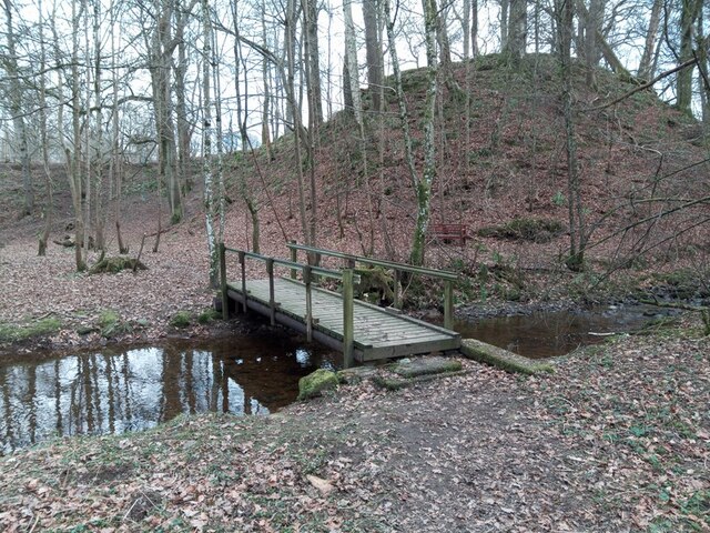
Images are sourced within 2km of 56.536249/-3.4930541 or Grid Reference NO0839. Thanks to Geograph Open Source API. All images are credited.

Cones, A9 The A9 is a strategic link between the Highlands of Scotland and the Central Belt. It runs 279 miles from junction 5 of the M9 at Polmont to Scrabster. Originally it ran from Edinburgh.
<span class="nowrap"><a title="https://www.sabre-roads.org.uk/wiki/index.php?title=A9" rel="nofollow ugc noopener" href="https://www.sabre-roads.org.uk/wiki/index.php?title=A9">Link</a><img style="margin-left:2px;" alt="External link" title="External link - shift click to open in new window" src="https://s1.geograph.org.uk/img/external.png" width="10" height="10"/></span>
Cones, A9
The A9 is a strategic link between the Highlands of Scotland and the Central Belt. It runs 279 miles from junction 5 of the M9 at Polmont to Scrabster. Originally it ran from Edinburgh. LinkExternal link
A9, northbound The A9 is a strategic link between the Highlands of Scotland and the Central Belt. It runs 279 miles from junction 5 of the M9 at Polmont to Scrabster. Originally it ran from Edinburgh.
<span class="nowrap"><a title="https://www.sabre-roads.org.uk/wiki/index.php?title=A9" rel="nofollow ugc noopener" href="https://www.sabre-roads.org.uk/wiki/index.php?title=A9">Link</a><img style="margin-left:2px;" alt="External link" title="External link - shift click to open in new window" src="https://s1.geograph.org.uk/img/external.png" width="10" height="10"/></span>
A9, northbound
The A9 is a strategic link between the Highlands of Scotland and the Central Belt. It runs 279 miles from junction 5 of the M9 at Polmont to Scrabster. Originally it ran from Edinburgh. LinkExternal link
A9, northbound
A9, northbound
Signage - A9 northbound
River Tay This photo shows the Caputh Bridge in the background looking downstream. The footpath
this side of the river provides a much longer walk than that on the other bank.
River Tay
This photo shows the Caputh Bridge in the background looking downstream. The footpath this side of the river provides a much longer walk than that on the other bank.
Northbound A9, Kingswood The A9 is a strategic link between the Highlands of Scotland and the Central Belt. Running for 273 miles, it is the longest road in Scotland and the fifth-longest A-road in the United Kingdom. Historically it was the main road between Edinburgh and John o' Groats but its importance has been eclipsed somewhat in the south by the A90 across the Forth Road Bridge and the M90 motorway, which now links Edinburgh more directly with Perth, and the M9, which is now the main road between Edinburgh and Bridge of Allan.
Northbound A9, Kingswood
The A9 is a strategic link between the Highlands of Scotland and the Central Belt. Running for 273 miles, it is the longest road in Scotland and the fifth-longest A-road in the United Kingdom. Historically it was the main road between Edinburgh and John o' Groats but its importance has been eclipsed somewhat in the south by the A90 across the Forth Road Bridge and the M90 motorway, which now links Edinburgh more directly with Perth, and the M9, which is now the main road between Edinburgh and Bridge of Allan.
Murthly Goods Yard Murthly was the first station on the Perth & Dunkeld Railway. It opened in April 1865. This siding in the goods yard was in use even before there was a ticket office.
Passenger services ceased in 1965, but the goods yard continued to operate until 1969.
Murthly Goods Yard
Murthly was the first station on the Perth & Dunkeld Railway. It opened in April 1865. This siding in the goods yard was in use even before there was a ticket office. Passenger services ceased in 1965, but the goods yard continued to operate until 1969.
Jim's Bridge over the Gellyburn A sturdy wooden bridge hand-built by a local with wood cadged from Murthly sawmill. It replaces a shoogly plank and encourages a wider variety of people to enjoy the circular walks leading to and from the River Tay.
Jim's Bridge over the Gellyburn
A sturdy wooden bridge hand-built by a local with wood cadged from Murthly sawmill. It replaces a shoogly plank and encourages a wider variety of people to enjoy the circular walks leading to and from the River Tay.
Farina Mill, Gellyburn All that remains of the Farina Mill, and Gellyburn's industrial heritage, is this wall and several sections of the sluices. The mill was built in 1858 to process potatoes (an abundant local crop) into flour, which was then exported via the goods yard at Murthly Station 2km distant.
Farina Mill, Gellyburn
All that remains of the Farina Mill, and Gellyburn's industrial heritage, is this wall and several sections of the sluices. The mill was built in 1858 to process potatoes (an abundant local crop) into flour, which was then exported via the goods yard at Murthly Station 2km distant.
Water Pump, Gellyburn Last surviving water pump (although inoperable) in Gellyburn. Pumps such as this were the public water supply locally, right into the early decades of the 20th century.
Water Pump, Gellyburn
Last surviving water pump (although inoperable) in Gellyburn. Pumps such as this were the public water supply locally, right into the early decades of the 20th century.
Gates to the Lantern Drive, Gellyburn Conical pillars like these are a feature of Murthly Estate's designed landscape. In this case they lead from the old Dunkeld - Perth Turnpike (now the B9099) onto the Lantern Drive and up to Douglasfield or Home Farm. Lantern Lodge, built about 1858, and Category 'B' listed, stood about one kilometre further along until it was demolished in the early 1970s.
Gates to the Lantern Drive, Gellyburn
Conical pillars like these are a feature of Murthly Estate's designed landscape. In this case they lead from the old Dunkeld - Perth Turnpike (now the B9099) onto the Lantern Drive and up to Douglasfield or Home Farm. Lantern Lodge, built about 1858, and Category 'B' listed, stood about one kilometre further along until it was demolished in the early 1970s.
Lantern Bridge, Gellyburn This was Bridge #7 on the original Perth & Dunkeld Railway, which opened in 1856. It was strengthened in the mid-1970s to carry the new Intercity 125 service. Today it still carries a refurbished 125 service (power sockets for laptops and some kind of WiFi), even although the originals are museum pieces.
Lantern Bridge, Gellyburn
This was Bridge #7 on the original Perth & Dunkeld Railway, which opened in 1856. It was strengthened in the mid-1970s to carry the new Intercity 125 service. Today it still carries a refurbished 125 service (power sockets for laptops and some kind of WiFi), even although the originals are museum pieces.
Witches Stone, Pittensorn, Murthly A low lying stone beside a very old road linking Strathbraan in the west, through the Obney Hills with the old Boat of Caputh. A few years ago someone scraped off a thick mat of vegetation to expose a dozen cup marks, previously unrecorded.
Local folklore has it covering a pile of treasure, and this story was dutifully recorded in the OS Place Names Book (Vol. 50, page 63, 1859-62, if you're interested): 
"it is said that some years ago a man commenced to excavate the soil around the rock in order, if possible, to secure the hidden treasure, while so employed, a small dog suddenly appeared on the top of the rock and desired the man to desist, assuring him at the same time that the reputed treasure was really there, but it was never intended that the eye of mortal should behold it. There are some marks on the rock which the superstitious tell you are the prints of this very sagacious dog’s paws."
Nevertheless, someone else has tried:There is a hole about 20cm deep drilled into the stone. Sometime about the 1850s, the sons of the local dominie, John Cameron, got hold of some blasting powder (then widely used to help break up bigger stones while reclaiming farming land from the Muir of Thorn) and drilled the hole. Their father appeared and skelped their lugs, however, before the dog got in on the act.
Witches Stone, Pittensorn, Murthly
A low lying stone beside a very old road linking Strathbraan in the west, through the Obney Hills with the old Boat of Caputh. A few years ago someone scraped off a thick mat of vegetation to expose a dozen cup marks, previously unrecorded. Local folklore has it covering a pile of treasure, and this story was dutifully recorded in the OS Place Names Book (Vol. 50, page 63, 1859-62, if you're interested): "it is said that some years ago a man commenced to excavate the soil around the rock in order, if possible, to secure the hidden treasure, while so employed, a small dog suddenly appeared on the top of the rock and desired the man to desist, assuring him at the same time that the reputed treasure was really there, but it was never intended that the eye of mortal should behold it. There are some marks on the rock which the superstitious tell you are the prints of this very sagacious dog’s paws." Nevertheless, someone else has tried:There is a hole about 20cm deep drilled into the stone. Sometime about the 1850s, the sons of the local dominie, John Cameron, got hold of some blasting powder (then widely used to help break up bigger stones while reclaiming farming land from the Muir of Thorn) and drilled the hole. Their father appeared and skelped their lugs, however, before the dog got in on the act.
Boar Park, Murthly Conical pillars of dressed stone like these are a signature feature of Murthly estate's designed landscape. This is an entrance to Boar Park, one of nine large irregularly shaped enclosures, amid well-wooded shelter belts, for cattle and sheep along either side of the Grand Avenue, one of the carriage drives to Murthly Castle. A notable feature of these parks, particularly the ones to the east, is that the boundaries are not the usual stone dykes, but ha-has.
Boar Park, Murthly
Conical pillars of dressed stone like these are a signature feature of Murthly estate's designed landscape. This is an entrance to Boar Park, one of nine large irregularly shaped enclosures, amid well-wooded shelter belts, for cattle and sheep along either side of the Grand Avenue, one of the carriage drives to Murthly Castle. A notable feature of these parks, particularly the ones to the east, is that the boundaries are not the usual stone dykes, but ha-has.
The Cloven Stone, Murthly The stone in the centre of this image looks small, but it is currently buried in vegetation. Exposed, i.e. when the fir plantation (a cash crop) is harvested it is about the height of an average person.
The Cloven Stone is an ancient boundary marker. Most probably an erratic boulder left behind by the receding ice, it was clearly a notable feature atop the Muir of Thorn.
The Cloven Stone, Murthly
The stone in the centre of this image looks small, but it is currently buried in vegetation. Exposed, i.e. when the fir plantation (a cash crop) is harvested it is about the height of an average person. The Cloven Stone is an ancient boundary marker. Most probably an erratic boulder left behind by the receding ice, it was clearly a notable feature atop the Muir of Thorn.
The Malakoff Arch, Murthly Picture, if you will, a Roman Arch in a Perthshire forest. It stands about 50' (15.5m). Approaching from the south you can see two narrow windows, one above the other in each leg. The crosspiece at the top has three sash windows. There is an apartment in each leg: cellar, scullery & living room on the ground floor, and a bedroom above. The cross piece is a dance hall. Not a ballroom, but a place for the tenantry to have ceilidhs.
This is the Malakoff Arch, built by Sir William Drummond Stewart in 1858 from a memory of the Titus Arch in Rome to commemorate his son's achievements in the Crimean War. The son, Capt. William George Stewart was with the 93rd Highlanders at most of the big battles, and there when the Malakoff Redoubt was taken in September 1855, opening the way to Sevastopol and hastening the end of the war.
If Sir William had not been so eager, or the builders not so competent, the Arch may have had another name. For Capt. Stewart's regiment was hurried out to India to help suppress the Sepoy Uprising, and there he won the Victoria Cross helping to lift the Siege of Lucknow.
You can see an image of the Malakoff Arch here:<span class="nowrap"><a title="https://media.geograph.org.uk/files/d34ab169b70c9dcd35e62896010cd9ff/wp_20171025_11_10_29_pro_001.jpg" rel="nofollow ugc noopener" href="https://media.geograph.org.uk/files/d34ab169b70c9dcd35e62896010cd9ff/wp_20171025_11_10_29_pro_001.jpg">Link</a><img style="margin-left:2px;" alt="External link" title="External link - shift click to open in new window" src="https://s1.geograph.org.uk/img/external.png" width="10" height="10"/></span>
The Malakoff Arch, Murthly
Picture, if you will, a Roman Arch in a Perthshire forest. It stands about 50' (15.5m). Approaching from the south you can see two narrow windows, one above the other in each leg. The crosspiece at the top has three sash windows. There is an apartment in each leg: cellar, scullery & living room on the ground floor, and a bedroom above. The cross piece is a dance hall. Not a ballroom, but a place for the tenantry to have ceilidhs. This is the Malakoff Arch, built by Sir William Drummond Stewart in 1858 from a memory of the Titus Arch in Rome to commemorate his son's achievements in the Crimean War. The son, Capt. William George Stewart was with the 93rd Highlanders at most of the big battles, and there when the Malakoff Redoubt was taken in September 1855, opening the way to Sevastopol and hastening the end of the war. If Sir William had not been so eager, or the builders not so competent, the Arch may have had another name. For Capt. Stewart's regiment was hurried out to India to help suppress the Sepoy Uprising, and there he won the Victoria Cross helping to lift the Siege of Lucknow. You can see an image of the Malakoff Arch here:LinkExternal link
Victoria Cottage, Caputh Georgina Ballantine (1889 - 1970) lived here. Record holder for the largest rod-caught salmon in the UK at 64lbs (29kg). On 7th October 1922, she was fishing from a coble on the Glendelvine Beat with her father James at the oars when she hooked her fourth salmon of the afternoon (the others weighed in at 25lbs, 21lbs and 17lbs). She landed the fish two hours and five minutes later, in darkness.
Victoria Cottage, Caputh
Georgina Ballantine (1889 - 1970) lived here. Record holder for the largest rod-caught salmon in the UK at 64lbs (29kg). On 7th October 1922, she was fishing from a coble on the Glendelvine Beat with her father James at the oars when she hooked her fourth salmon of the afternoon (the others weighed in at 25lbs, 21lbs and 17lbs). She landed the fish two hours and five minutes later, in darkness.
Murthly Falls Murthly Falls  is where the burn enters the old Gellyburn quarry through a tunnel of rhododendron. It can be accessed from Lantern Drive. Basically, by slithering down the bank; a leap of faith as you can't see the falls until you are level with the burn.
Stone from the quarry was used to build much of Murthly estate, including the New Castle in the 1830s. It was also carted  up river for Telford's bridge at Dunkeld in 1808/9, the second stone -built bridge across the River Tay there. Stone from the quarry was also used for the original bridge in the 1530s.
Murthly Falls
Murthly Falls is where the burn enters the old Gellyburn quarry through a tunnel of rhododendron. It can be accessed from Lantern Drive. Basically, by slithering down the bank; a leap of faith as you can't see the falls until you are level with the burn. Stone from the quarry was used to build much of Murthly estate, including the New Castle in the 1830s. It was also carted up river for Telford's bridge at Dunkeld in 1808/9, the second stone -built bridge across the River Tay there. Stone from the quarry was also used for the original bridge in the 1530s.
Show me another place!

Keppie Wood is located at Grid Ref: NO0839 (Lat: 56.536249, Lng: -3.4930541)

Unitary Authority: Perth and Kinross

Police Authority: Tayside

What 3 Words

///roosters.fine.awoke. Near Bankfoot, Perth & Kinross

Nearby Locations

Keppie Wood Nether Wood

Related Wikis

Caputh, Perth and Kinross

Caputh ( KAY-pəth) is a parish and village in Perth and Kinross, Scotland. It lies on the A984 Coupar Angus-to-Dunkeld road, about 6 miles (10 kilometres...
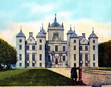
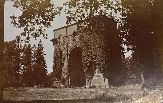
Murthly House

Murthly House, also known as New Murthly Castle, was a substantial mansion in Perth and Kinross, Scotland, designed by James Gillespie Graham and demolished...
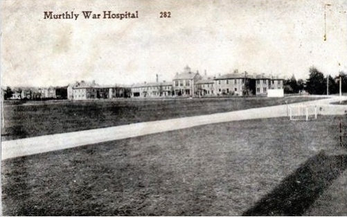
Murthly Hospital

Murthly Hospital, previously known as Murthly Asylum, Perth District Asylum and Perth and District Mental Hospital was a psychiatric hospital in Murthly...
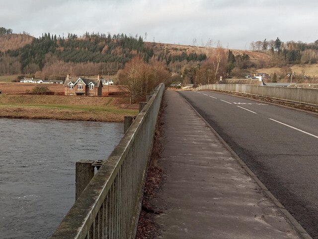
Murthly

Murthly (Scottish Gaelic Mòrthlaich) is a village in Perth and Kinross, Scotland. It lies on the south bank of the River Tay, 5 miles (8 kilometres) southeast...

Nearby Amenities

Located within 500m of 56.536249,-3.4930541
Power: pole
Lat/Long: 56.5364212/-3.4999328
Power: pole
Lat/Long: 56.5365134/-3.4987512
Power: pole
Lat/Long: 56.5366036/-3.4975496
Power: pole
Lat/Long: 56.5363818/-3.4961388
Power: pole
Lat/Long: 56.5362354/-3.495369
Power: pole
Lat/Long: 56.535944/-3.4935612
Power: pole
Lat/Long: 56.5358671/-3.4931293
Power: pole
Lat/Long: 56.5357015/-3.492102
Power: pole
Lat/Long: 56.5355284/-3.4909835
Material: wood
Power: pole
Lat/Long: 56.534709/-3.4860282
Material: wood
Power: pole
Lat/Long: 56.5352873/-3.48957
Material: wood
Power: pole
Lat/Long: 56.5351128/-3.4884971
Material: wood
Power: pole
Lat/Long: 56.5349324/-3.4874243
Power: pole
Lat/Long: 56.5398891/-3.4897205
Power: pole
Lat/Long: 56.5391582/-3.4896217
Power: pole
Lat/Long: 56.5380643/-3.4904052
Material: wood
Power: pole
Lat/Long: 56.5346521/-3.489299
Material: wood
Power: pole
Lat/Long: 56.5349699/-3.4894379
The data included in this document is from www.openstreetmap.org. The data is made available under ODbL.

Have you been to Keppie Wood?

Leave your review of Keppie Wood below (or comments, questions and feedback).