Long Plantation
Wood, Forest in Dumfriesshire
Scotland
Long Plantation

The requested URL returned error: 429 Too Many Requests
If you have any feedback on the listing, please let us know in the comments section below.
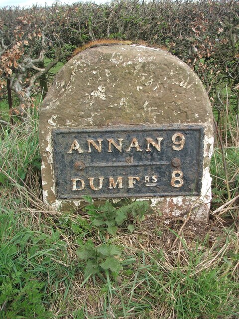
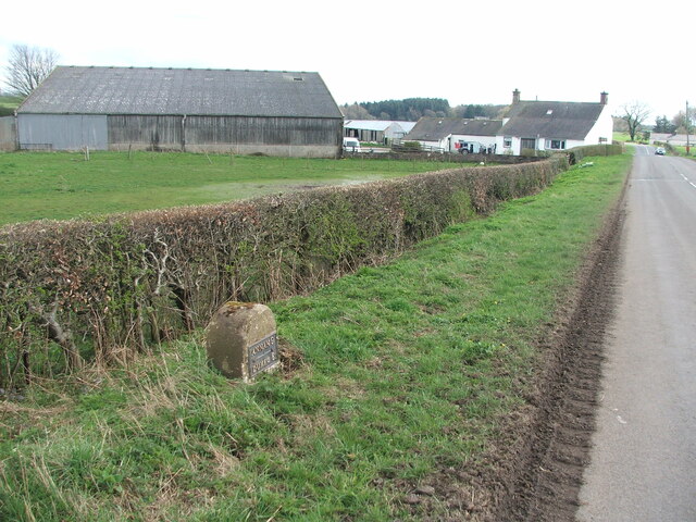
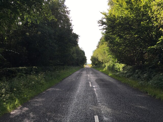
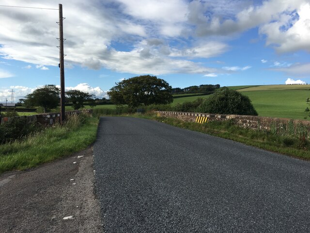
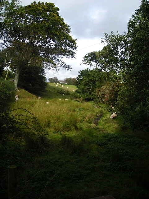
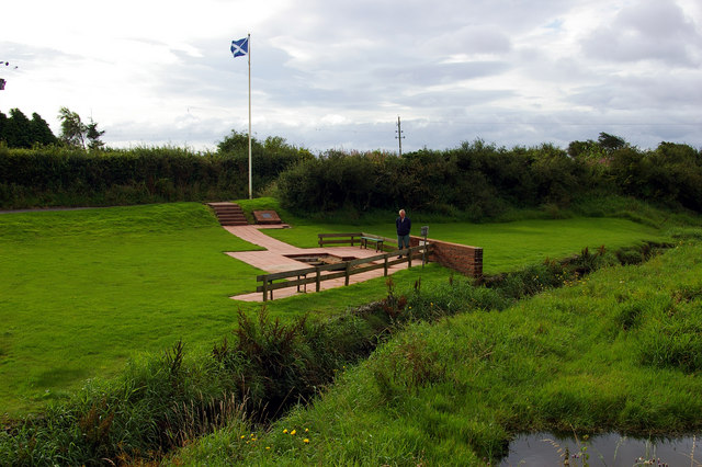
Long Plantation Images
Images are sourced within 2km of 55.014213/-3.435723 or Grid Reference NY0869. Thanks to Geograph Open Source API. All images are credited.


Long Plantation is located at Grid Ref: NY0869 (Lat: 55.014213, Lng: -3.435723)
Unitary Authority: Dumfries and Galloway
Police Authority: Dumfries and Galloway
What 3 Words
///clashing.vital.issuer. Near Annan, Dumfries & Galloway
Nearby Locations
Related Wikis

Ruthwell railway station
Ruthwell railway station was a railway station in Dumfries and Galloway south of Dumfries, serving the village of Ruthwell with its famous 8th century...

Comlongon Castle
Comlongon Castle is a tower house dating from the later 15th century or early 16th century. It is located 1 kilometre (0.62 mi) west of the village of...

Clarencefield
Clarencefield is a small village in Ruthwell Parish between Dumfries and Annan in Dumfries and Galloway, Scotland. It was once served by Ruthwell railway...
Brow, Dumfries and Galloway
Brow is a hamlet on the B725 lying around 3 km from Ruthwell in the Parish of that name on the Solway Firth between Dumfries and Annan in Dumfries and...
Nearby Amenities
Located within 500m of 55.014213,-3.435723Have you been to Long Plantation?
Leave your review of Long Plantation below (or comments, questions and feedback).