Archbank Belt
Wood, Forest in Dumfriesshire
Scotland
Archbank Belt

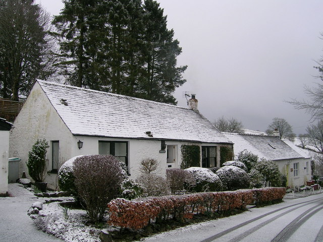
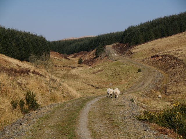
Archbank Belt is an enchanting woodland located in Dumfriesshire, Scotland. Spread over a vast area, it is a captivating destination for nature enthusiasts and those seeking a tranquil escape from the bustling city life.
This ancient forest boasts a diverse range of tree species, including native oak, beech, and birch. The dense canopy formed by these towering trees creates a shaded and cool environment, perfect for leisurely walks or picnics on warm summer days. The forest floor is adorned with a rich carpet of ferns, mosses, and wildflowers, adding to the picturesque beauty of the area.
Archbank Belt is home to a variety of wildlife, making it a haven for nature lovers. Birdwatchers can spot a plethora of species, including woodpeckers, owls, and various songbirds. Deer, foxes, and squirrels are often seen darting through the undergrowth, while the nearby river attracts otters and kingfishers.
The forest is crisscrossed with numerous walking trails, offering visitors the opportunity to explore its hidden treasures. These well-maintained paths wind through the woods, leading to charming viewpoints and secluded spots where one can immerse themselves in the serenity of nature.
In addition to its natural beauty, Archbank Belt also holds historical significance. Its name is believed to be derived from an ancient stone bridge that once spanned a nearby river. Remnants of this bridge can still be seen today, adding an air of mystery and intrigue to the area.
Overall, Archbank Belt is a captivating woodland that captivates visitors with its lush greenery, diverse wildlife, and tranquil ambience. It is a must-visit destination for anyone seeking a peaceful retreat in the heart of nature.
If you have any feedback on the listing, please let us know in the comments section below.
Archbank Belt Images
Images are sourced within 2km of 55.35691/-3.4484973 or Grid Reference NT0807. Thanks to Geograph Open Source API. All images are credited.


Archbank Belt is located at Grid Ref: NT0807 (Lat: 55.35691, Lng: -3.4484973)
Unitary Authority: Dumfries and Galloway
Police Authority: Dumfries and Galloway
What 3 Words
///bucks.couriers.boats. Near Moffat, Dumfries & Galloway
Nearby Locations
Related Wikis
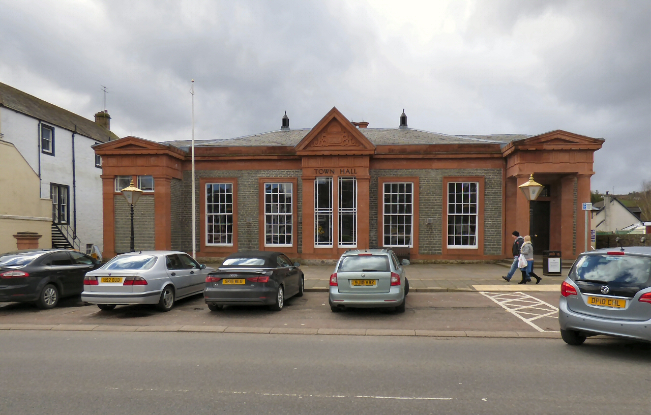
Moffat Town Hall
Moffat Town Hall is a municipal building in the High Street in Moffat, Dumfries and Galloway, Scotland. The structure, which is used as community events...

Moffat Museum
Moffat Museum is a community museum in Moffat, Scotland. It was established in the Old Moffat Bakehouse in 1984. The museum expanded into a neighbouring...

Moffat
Moffat (Scottish Gaelic: Mofad) is a burgh and parish in Dumfriesshire, now part of the Dumfries and Galloway local authority area in Scotland. It lies...

Crown of Scotland (hill)
The Crown of Scotland is a hill in the Scottish Borders, Scotland. At a relatively small elevation from the surrounding peaks, it is situated to the north...

Moffat railway station
Moffat railway station was a station and the terminus of a short branch line which served Moffat, in the Scottish county of Dumfries and Galloway. It was...
Moffat Academy
Moffat Academy is a school in Moffat, Dumfries and Galloway, Scotland. It educates children from nursery to Secondary 6. == History == Moffat Academy traces...
Greenhillstairs
Greenhillstairs is the steep B719 road north of Moffat in Dumfries and Galloway, Scotland. The road, about 3 miles long, leaves the A701 Moffat to Edinburgh...
Auchencastle railway station
Auchencastle railway station was a private station which served Auchencastle, near Beattock, in the Scottish county of Dumfries and Galloway. It was used...
Nearby Amenities
Located within 500m of 55.35691,-3.4484973Have you been to Archbank Belt?
Leave your review of Archbank Belt below (or comments, questions and feedback).