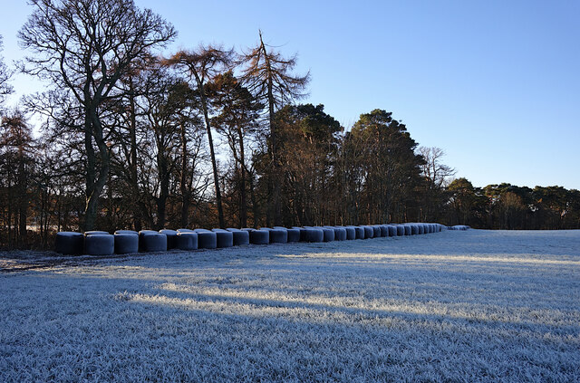
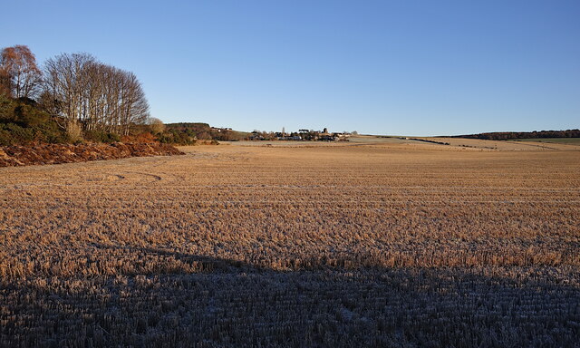
Tulloch Moss Wood
Wood, Forest in Morayshire
Scotland
Tulloch Moss Wood
The requested URL returned error: 429 Too Many Requests
If you have any feedback on the listing, please let us know in the comments section below.
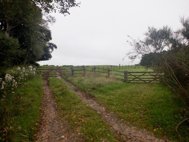
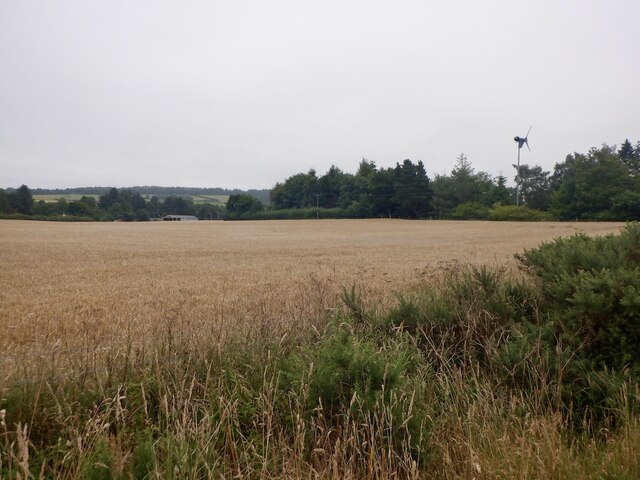
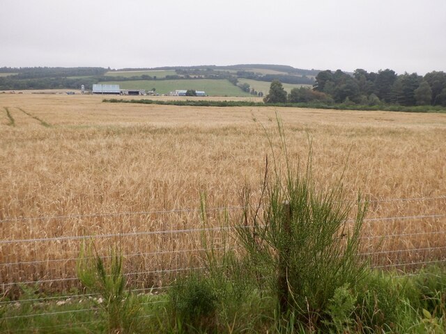
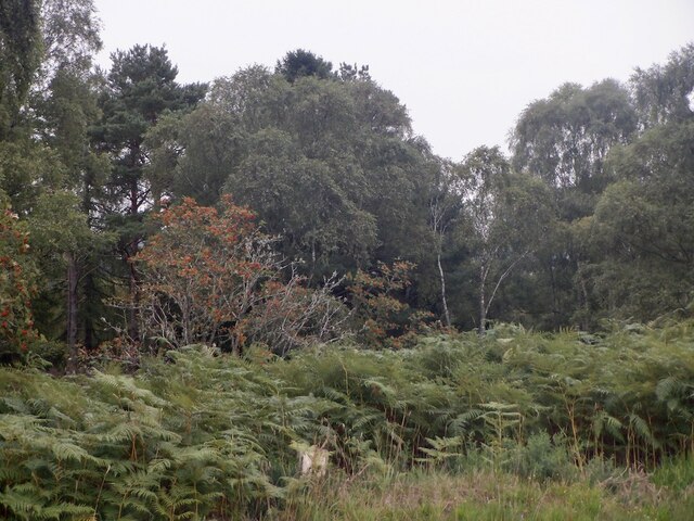
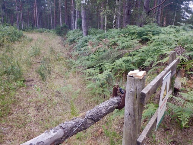
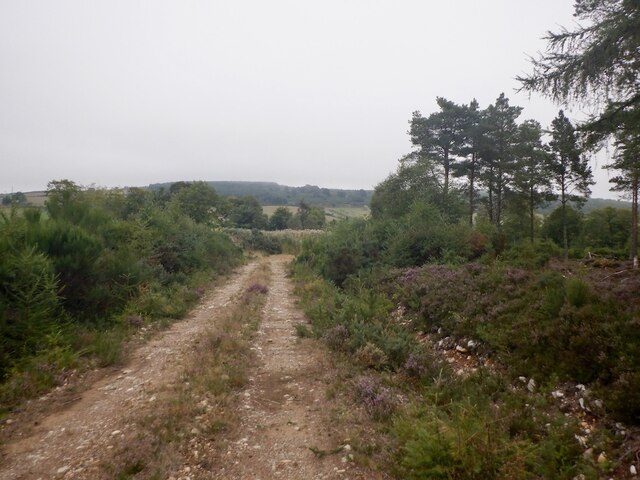
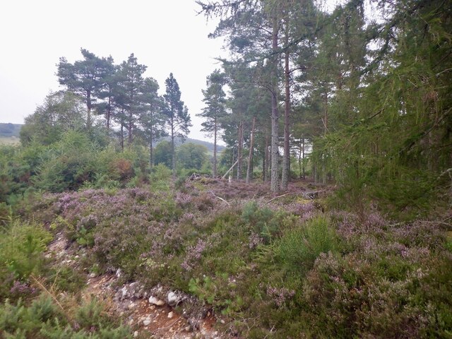
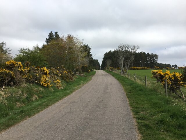
Tulloch Moss Wood Images
Images are sourced within 2km of 57.577852/-3.5454546 or Grid Reference NJ0755. Thanks to Geograph Open Source API. All images are credited.


Tulloch Moss Wood is located at Grid Ref: NJ0755 (Lat: 57.577852, Lng: -3.5454546)
Unitary Authority: Moray
Police Authority: North East
What 3 Words
///mainland.geology.magazines. Near Forres, Moray
Nearby Locations
Related Wikis

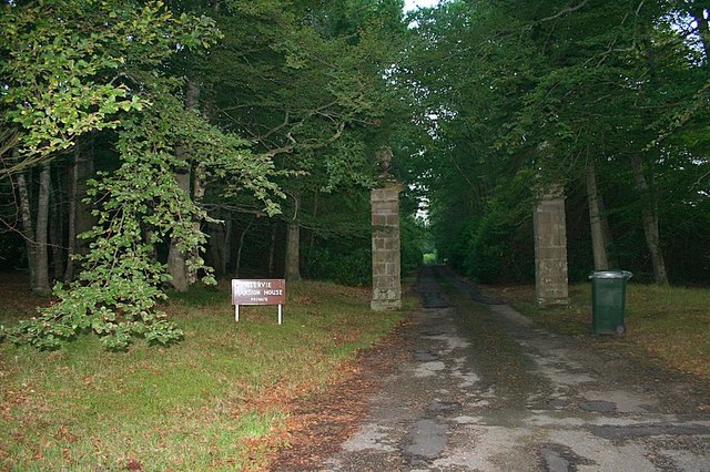
Blervie Castle
Blervie Castle is a ruined 16th-century Z-plan tower house, about 2.5 miles (4.0 km) south-east of Forres, Moray, Scotland, and about 1 mile (1.6 km) north...

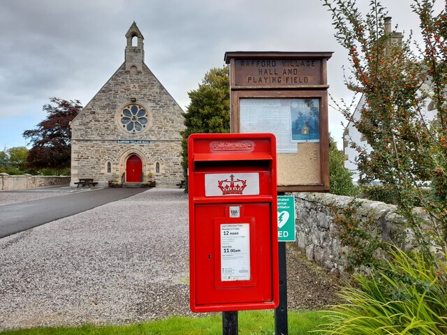
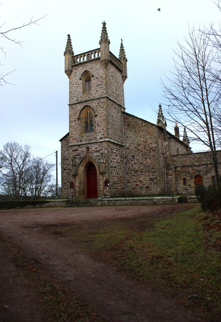
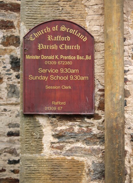
Rafford
Rafford (Scottish Gaelic: Ràthard) is a village in Moray, Scotland. It is approximately 2.5 miles (4 km) southeast of the town of Forres, and 5.5 miles...
Rafford railway station
Rafford railway station at Rafford was opened with the Inverness and Perth Junction Railway in 1863. A full layout was provided (with a goods yard). The...

Leanchoil Hospital
Leanchoil Hospital was a community hospital in Forres, Morayshire, Scotland. It was managed by NHS Grampian. == History == The hospital was financed by...
Nearby Amenities
Located within 500m of 57.577852,-3.5454546Have you been to Tulloch Moss Wood?
Leave your review of Tulloch Moss Wood below (or comments, questions and feedback).