Coldwells Wood

Wood, Forest in Perthshire

Scotland

Coldwells Wood

A9, Tibbermore turning The A9 is a strategic link between the Highlands of Scotland and the Central Belt. It runs 279 miles from junction 5 of the M9 at Polmont to Scrabster. Originally it ran from Edinburgh.
<span class="nowrap"><a title="https://www.sabre-roads.org.uk/wiki/index.php?title=A9" rel="nofollow ugc noopener" href="https://www.sabre-roads.org.uk/wiki/index.php?title=A9">Link</a><img style="margin-left:2px;" alt="External link" title="External link - shift click to open in new window" src="https://s1.geograph.org.uk/img/external.png" width="10" height="10"/></span>
A9, Tibbermore turning Credit: N Chadwick

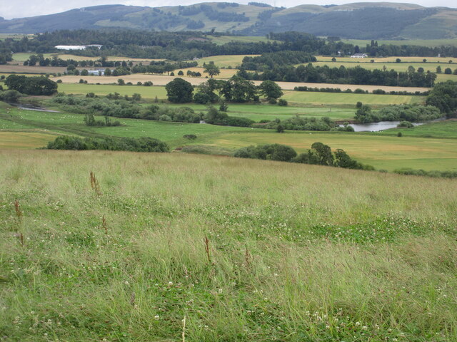
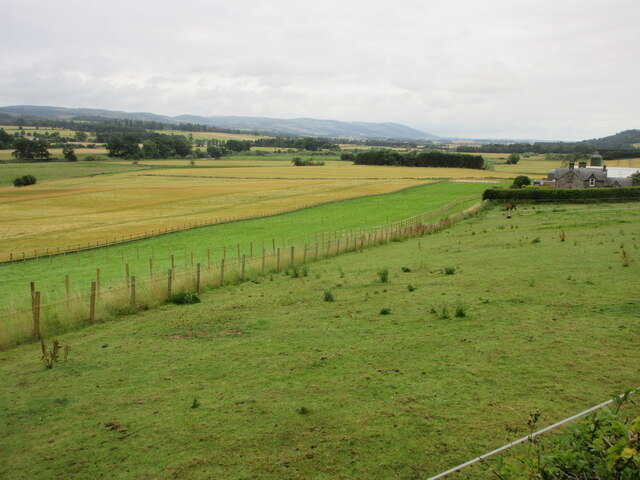
Coldwells Wood, located in Perthshire, Scotland, is a picturesque forest that encompasses an area of approximately 100 acres. Nestled amidst the stunning landscapes of the Scottish Highlands, this wood offers visitors a tranquil and immersive natural experience.

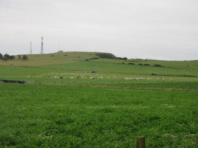
The woodland is predominantly composed of native species such as oak, birch, and pine trees, which stand tall and create a dense canopy overhead. The forest floor is covered in a rich carpet of mosses, ferns, and wildflowers, adding to its enchanting atmosphere. The diverse vegetation provides a habitat for a wide range of wildlife, including red squirrels, roe deer, and a variety of bird species, making it a popular destination for nature enthusiasts and birdwatchers.

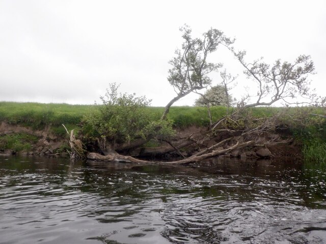
Coldwells Wood offers several well-marked trails, allowing visitors to explore its beauty on foot. The paths wind through the forest, revealing scenic vistas, babbling brooks, and small waterfalls along the way. The peaceful ambiance and the sounds of nature create a serene atmosphere for relaxation and contemplation.

The wood also provides opportunities for outdoor activities such as hiking, picnicking, and photography. It is a popular spot for families, who can enjoy nature walks together and engage in educational activities, discovering more about the local flora and fauna.

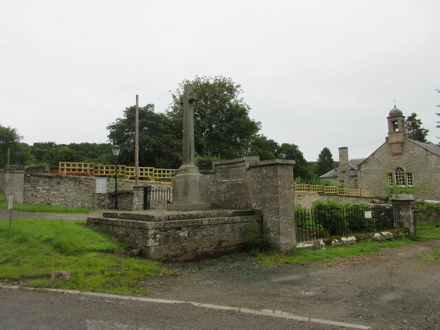
Coldwells Wood is easily accessible, located just a short drive from the town of Perth. Its natural beauty, tranquility, and diverse wildlife make it a captivating destination for nature lovers, hikers, and those seeking a peaceful escape in the heart of Scotland.

If you have any feedback on the listing, please let us know in the comments section below.

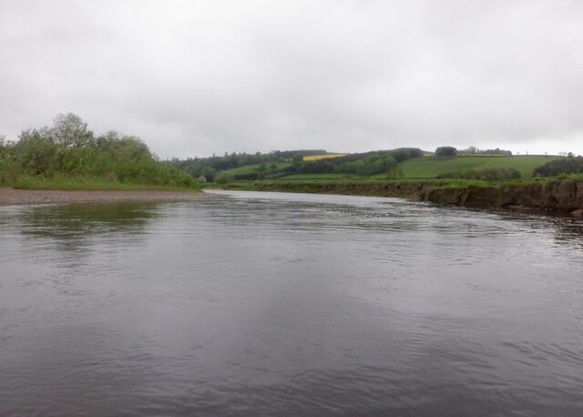
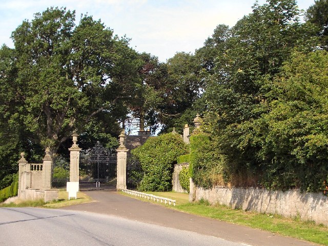
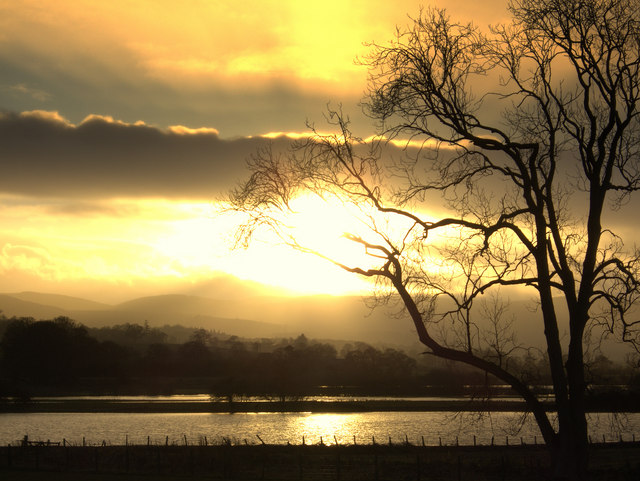
Coldwells Wood Images

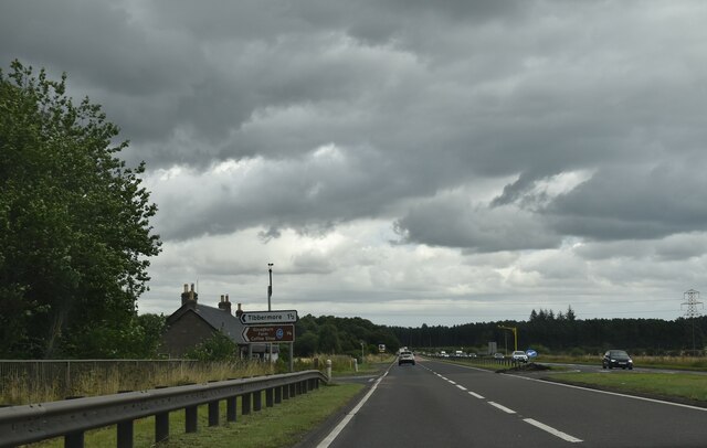
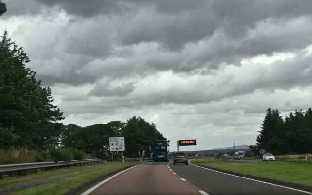
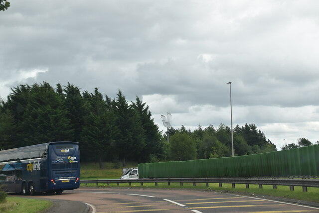
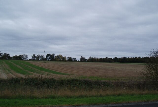
Images are sourced within 2km of 56.376168/-3.4968579 or Grid Reference NO0721. Thanks to Geograph Open Source API. All images are credited.

A9, Tibbermore turning The A9 is a strategic link between the Highlands of Scotland and the Central Belt. It runs 279 miles from junction 5 of the M9 at Polmont to Scrabster. Originally it ran from Edinburgh.
<span class="nowrap"><a title="https://www.sabre-roads.org.uk/wiki/index.php?title=A9" rel="nofollow ugc noopener" href="https://www.sabre-roads.org.uk/wiki/index.php?title=A9">Link</a><img style="margin-left:2px;" alt="External link" title="External link - shift click to open in new window" src="https://s1.geograph.org.uk/img/external.png" width="10" height="10"/></span>
A9, Tibbermore turning
The A9 is a strategic link between the Highlands of Scotland and the Central Belt. It runs 279 miles from junction 5 of the M9 at Polmont to Scrabster. Originally it ran from Edinburgh. LinkExternal link
City of Perth, A9 The A9 is a strategic link between the Highlands of Scotland and the Central Belt. It runs 279 miles from junction 5 of the M9 at Polmont to Scrabster. Originally it ran from Edinburgh.
<span class="nowrap"><a title="https://www.sabre-roads.org.uk/wiki/index.php?title=A9" rel="nofollow ugc noopener" href="https://www.sabre-roads.org.uk/wiki/index.php?title=A9">Link</a><img style="margin-left:2px;" alt="External link" title="External link - shift click to open in new window" src="https://s1.geograph.org.uk/img/external.png" width="10" height="10"/></span>
City of Perth, A9
The A9 is a strategic link between the Highlands of Scotland and the Central Belt. It runs 279 miles from junction 5 of the M9 at Polmont to Scrabster. Originally it ran from Edinburgh. LinkExternal link
A9, northbound The A9 is a strategic link between the Highlands of Scotland and the Central Belt. It runs 279 miles from junction 5 of the M9 at Polmont to Scrabster. Originally it ran from Edinburgh.
<span class="nowrap"><a title="https://www.sabre-roads.org.uk/wiki/index.php?title=A9" rel="nofollow ugc noopener" href="https://www.sabre-roads.org.uk/wiki/index.php?title=A9">Link</a><img style="margin-left:2px;" alt="External link" title="External link - shift click to open in new window" src="https://s1.geograph.org.uk/img/external.png" width="10" height="10"/></span>
A9, northbound
The A9 is a strategic link between the Highlands of Scotland and the Central Belt. It runs 279 miles from junction 5 of the M9 at Polmont to Scrabster. Originally it ran from Edinburgh. LinkExternal link
Travel information, A9 The A9 is a strategic link between the Highlands of Scotland and the Central Belt. It runs 279 miles from junction 5 of the M9 at Polmont to Scrabster. Originally it ran from Edinburgh.
<span class="nowrap"><a title="https://www.sabre-roads.org.uk/wiki/index.php?title=A9" rel="nofollow ugc noopener" href="https://www.sabre-roads.org.uk/wiki/index.php?title=A9">Link</a><img style="margin-left:2px;" alt="External link" title="External link - shift click to open in new window" src="https://s1.geograph.org.uk/img/external.png" width="10" height="10"/></span>
Travel information, A9
The A9 is a strategic link between the Highlands of Scotland and the Central Belt. It runs 279 miles from junction 5 of the M9 at Polmont to Scrabster. Originally it ran from Edinburgh. LinkExternal link
Roundabout at Broxden, A9 The A9 is a strategic link between the Highlands of Scotland and the Central Belt. It runs 279 miles from junction 5 of the M9 at Polmont to Scrabster. Originally it ran from Edinburgh.
<span class="nowrap"><a title="https://www.sabre-roads.org.uk/wiki/index.php?title=A9" rel="nofollow ugc noopener" href="https://www.sabre-roads.org.uk/wiki/index.php?title=A9">Link</a><img style="margin-left:2px;" alt="External link" title="External link - shift click to open in new window" src="https://s1.geograph.org.uk/img/external.png" width="10" height="10"/></span>
Roundabout at Broxden, A9
The A9 is a strategic link between the Highlands of Scotland and the Central Belt. It runs 279 miles from junction 5 of the M9 at Polmont to Scrabster. Originally it ran from Edinburgh. LinkExternal link
Field alongside the M90 near Broxden
Signage - A9 northbound
Livestock under Mailer Hill Cattle and sheep spread out under the north-western flank of Mailer Hill.
Livestock under Mailer Hill
Cattle and sheep spread out under the north-western flank of Mailer Hill.
Ploughed field next to the B9112 Ploughed up field adjacent to the B9112, with Broxden Wood beyond.
Ploughed field next to the B9112
Ploughed up field adjacent to the B9112, with Broxden Wood beyond.
Grassland above Strathearn Rough grass meadow above the River Earn, west of Aberdalgie.
Grassland above Strathearn
Rough grass meadow above the River Earn, west of Aberdalgie.
Aberdalgie War Memorial The war memorial at Aberdalgie, with the church to the right.
Aberdalgie War Memorial
The war memorial at Aberdalgie, with the church to the right.
Strip of paddocks Long strip of grass paddocks at East Mains of Aberdalgie.
Strip of paddocks
Long strip of grass paddocks at East Mains of Aberdalgie.
River Earn, Aberdalgie
Entrance to Dupplin Castle Dupplin Castle and grounds are to the north of the B9112, overlooking the Earn Valley.
Entrance to Dupplin Castle
Dupplin Castle and grounds are to the north of the B9112, overlooking the Earn Valley.
River Earn Flood Plain A few days after the December flood. Aberdalgie.
River Earn Flood Plain
A few days after the December flood. Aberdalgie.
Perth Travelodge A new travelodge in the sun and the snow!
Perth Travelodge
A new travelodge in the sun and the snow!
Show me another place!

Coldwells Wood is located at Grid Ref: NO0721 (Lat: 56.376168, Lng: -3.4968579)

Unitary Authority: Perth and Kinross

Police Authority: Tayside

What 3 Words

///tester.intend.model. Near Perth, Perth & Kinross

Nearby Locations

Coldwells Wood

Related Wikis

Aberdalgie

Aberdalgie (Gaelic: Obar Dheilgidh, 'Confluence of the Thorn-Stream') is a small village in the Scottish council area of Perth and Kinross. It is 3 miles...
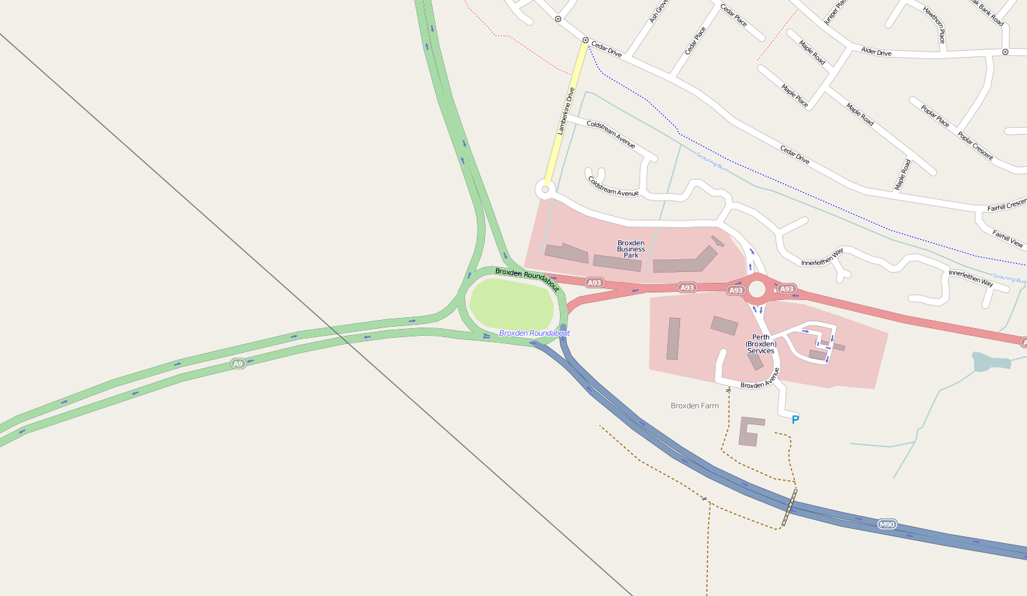
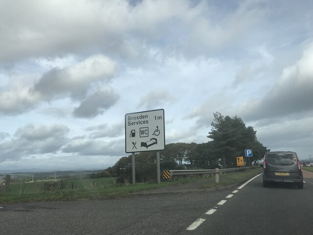
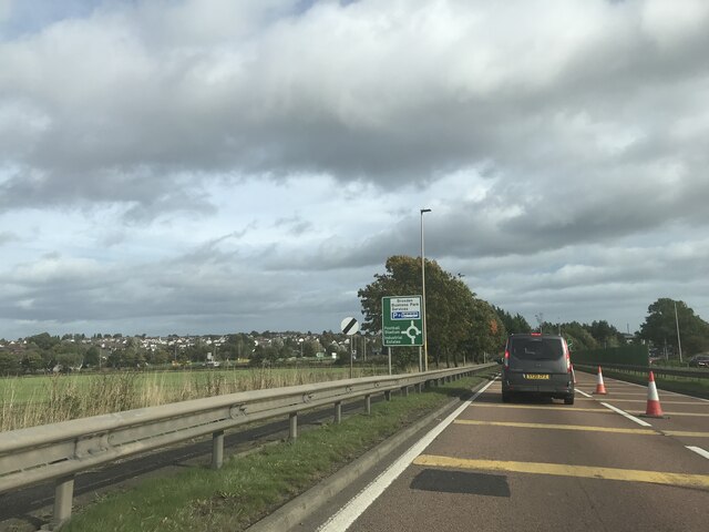
Broxden Junction

Broxden Junction (also known as Broxden Roundabout or Broxden Interchange) is one of the busier and more important road junctions in Scotland. It is located...

Forgandenny railway station

Forgandenny railway station served the village of Forgandenny, Perth and Kinross, Scotland from 1848 to 1956 on the Scottish Central Railway. == History... ==

Cherrybank Gardens

Cherrybank Gardens was a public garden in the southwestern outskirts of the Scottish city of Perth. Originally Bell's Cherrybank Gardens, when it was created...

Nearby Amenities

Located within 500m of 56.376168,-3.4968579
The data included in this document is from www.openstreetmap.org. The data is made available under ODbL.

Have you been to Coldwells Wood?

Leave your review of Coldwells Wood below (or comments, questions and feedback).