Hazelbank Plantation

Wood, Forest in Dumfriesshire

Scotland

Hazelbank Plantation

Hazelbank Trig Point Flush Bracket S7702
Hazelbank Trig Point Flush Bracket S7702 Credit: thejackrustles

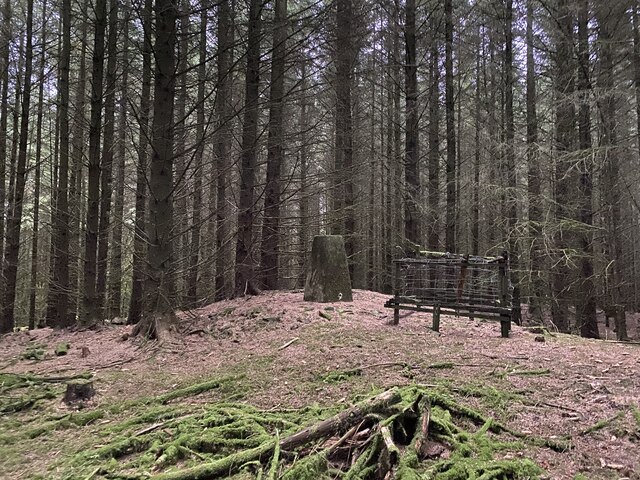
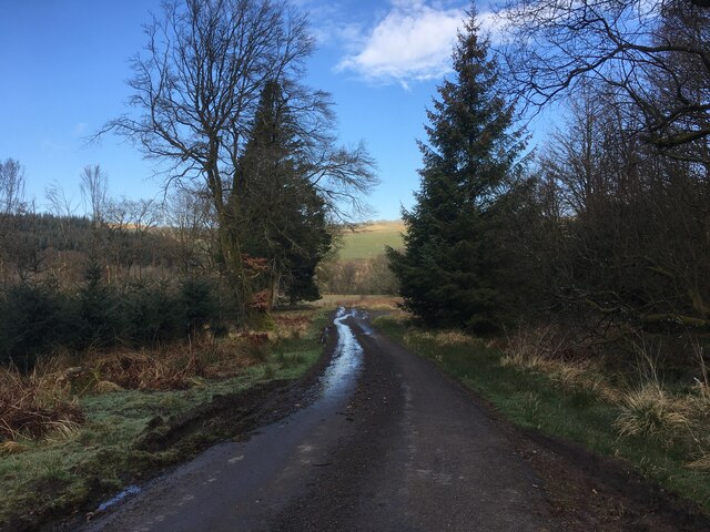
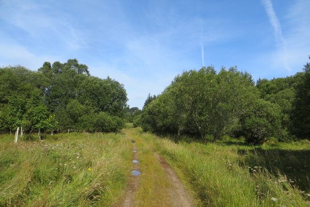
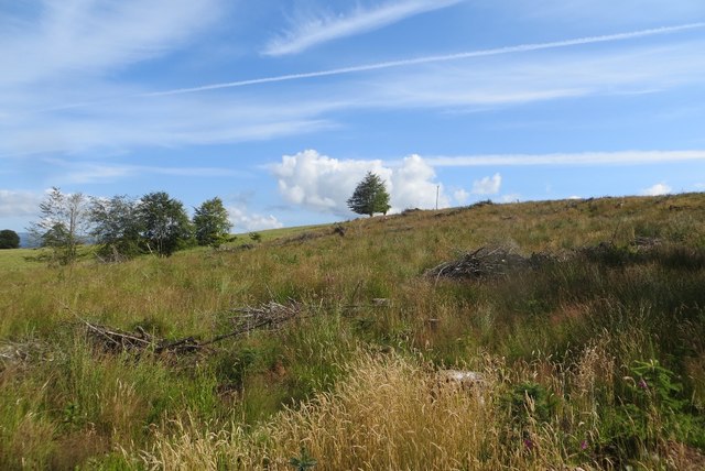
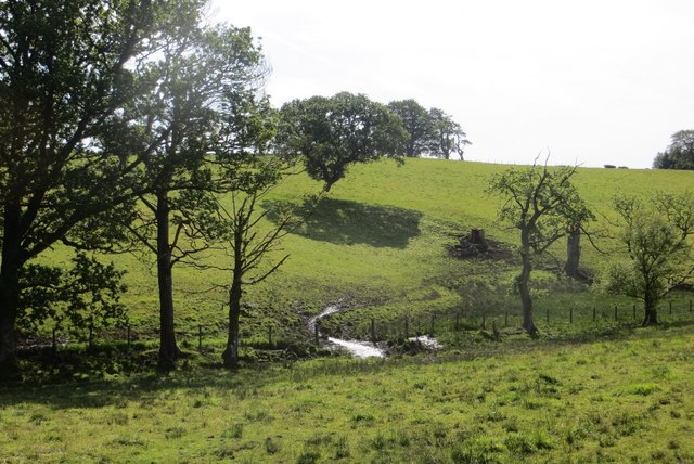
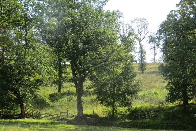
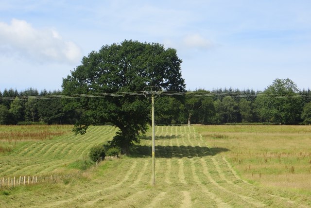
Hazelbank Plantation is a picturesque woodland located in Dumfriesshire, Scotland. Covering an area of approximately 100 hectares, the plantation is renowned for its diverse range of trees, making it a haven for nature enthusiasts and walkers alike.

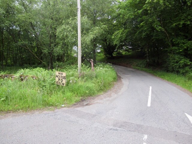
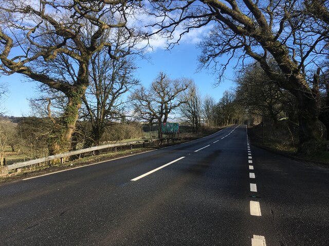
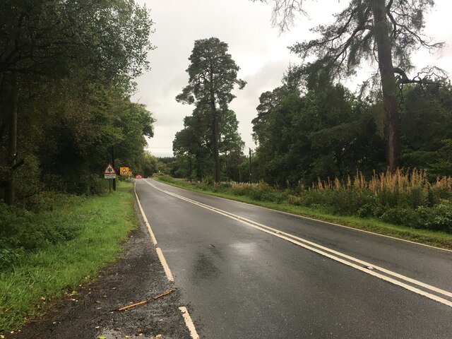
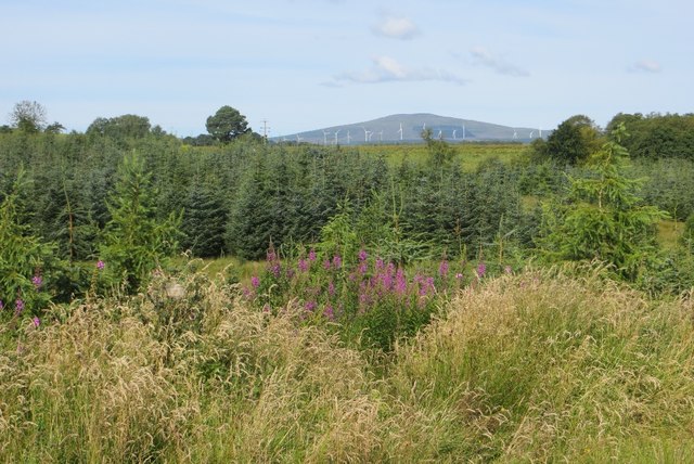
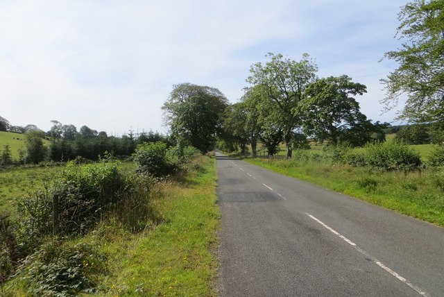
Situated just south of the small village of Thornhill, Hazelbank Plantation is easily accessible and offers a tranquil escape from the hustle and bustle of everyday life. The woodland is predominantly made up of hazel trees, from which it derives its name, but also features a mix of other species such as oak, beech, and birch. This variety of trees creates a rich tapestry of colors throughout the seasons, with vibrant greens in the spring and summer and fiery reds and oranges in the autumn.

The plantation provides a habitat for a wide array of wildlife, including birds, mammals, and insects. Birdwatchers can spot species such as woodpeckers, owls, and various songbirds, while red squirrels can be seen darting between the trees. The woodland floor is also home to a diverse range of plant life, including bluebells, wild garlic, and ferns, adding to the natural beauty of the area.

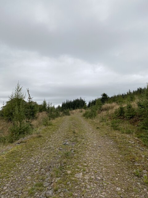
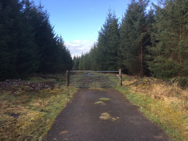
Visitors to Hazelbank Plantation can explore the woodland via a network of well-maintained trails, offering opportunities for leisurely strolls or more challenging hikes. Interpretive signs are strategically placed throughout the plantation, providing information about the trees, wildlife, and history of the area.

Overall, Hazelbank Plantation is a captivating woodland that offers a serene and enchanting experience for those seeking to immerse themselves in nature's beauty.

If you have any feedback on the listing, please let us know in the comments section below.

Hazelbank Plantation Images

Images are sourced within 2km of 55.23434/-3.4530958 or Grid Reference NY0794. Thanks to Geograph Open Source API. All images are credited.

Hazelbank Trig Point Flush Bracket S7702
Annandale Way
Annandale Way
Track through strip of woodland giving access to fields Looking southward.
Track through strip of woodland giving access to fields
Looking southward.
Woodland track giving access to fields near Beastocking Looking northward.
Woodland track giving access to fields near Beastocking
Looking northward.
Road junction, St Ann's Due to the high wholesale costs of gas, the flaming sword has been replaced by a sign.   (Refers to a festival up the road)
Road junction, St Ann's
Due to the high wholesale costs of gas, the flaming sword has been replaced by a sign. (Refers to a festival up the road)
Forestry entrance near Edwardsrig Plantation
Minor road near Boreland Plantation
A701 towards Beattock
A701 towards Dumfries
Old Milestone by the A701, St Ann's Bridge, Johnstone parish Dumfries red sandstone with plate by the A701, in parish of Johnstone (Annandale District), St Ann's, just West of bridge over Kinnel Water. South side of road.

Inscription reads:-
EDINBURGH
{<-arrow} 59.
DUMFRIES
13 {arrow->}

Milestone Society National ID: DG_DFMF13
Old Milestone by the A701, St Ann's Bridge, Johnstone parish
Dumfries red sandstone with plate by the A701, in parish of Johnstone (Annandale District), St Ann's, just West of bridge over Kinnel Water. South side of road. Inscription reads:- EDINBURGH {<-arrow} 59. DUMFRIES 13 {arrow->} Milestone Society National ID: DG_DFMF13
A701 towards Dumfries
Woodland, Lockwood A track through the long thin wood beside the B7020 in Annandale.
Woodland, Lockwood
A track through the long thin wood beside the B7020 in Annandale.
Woodland, Lockwood A view towards Queensberry.
Woodland, Lockwood
A view towards Queensberry.
Felled woodland A wide strip of woodland near Cleuchheads, Annandale.
Felled woodland
A wide strip of woodland near Cleuchheads, Annandale.
B7020, Lockwood A long straight road, aligned with the long hills on either side.
B7020, Lockwood
A long straight road, aligned with the long hills on either side.
Field, Lockwood The landscape here is one of long parallel hills, aligned north to south. There is a gap in the woodlands which normally accompany the B7020.
Field, Lockwood
The landscape here is one of long parallel hills, aligned north to south. There is a gap in the woodlands which normally accompany the B7020.
Woodland, Beastock Rig Scattered oaks, probably left after felling other trees.
Woodland, Beastock Rig
Scattered oaks, probably left after felling other trees.
Mown grass Silage or hay making under Hazelbank Plantation, Annandale.
Mown grass
Silage or hay making under Hazelbank Plantation, Annandale.
Show me another place!

Hazelbank Plantation is located at Grid Ref: NY0794 (Lat: 55.23434, Lng: -3.4530958)

Unitary Authority: Dumfries and Galloway

Police Authority: Dumfries and Galloway

What 3 Words

///fortified.choirs.crossings. Near Johnstonebridge, Dumfries & Galloway

Related Wikis

Lochwood Tower

Lochwood Tower, also known as Lochwood Castle, is a ruined 16th-century L-plan tower house situated in Annandale (Valley of the River Annan) about 6 miles...

Johnstonebridge

Johnstonebridge is a village in Dumfries and Galloway, Scotland.It is roughly halfway between Moffat and Lockerbie, and lies on the A74(M) motorway. The...

Annandale Water services

Annandale Water services is a motorway service station in the village of Johnstonebridge, Scotland. The service station is located next to the A74(M) motorway...

Annandale Water

Annandale Water is a loch in Annandale, Dumfries and Galloway, in the south west of Scotland. It is part of Annandale Water service station at Junction...

Nearby Amenities

Located within 500m of 55.23434,-3.4530958
Ele: 226
Natural: peak
Lat/Long: 55.2355075/-3.4530128
Power: pole
Lat/Long: 55.2352784/-3.4460648
The data included in this document is from www.openstreetmap.org. The data is made available under ODbL.

Have you been to Hazelbank Plantation?

Leave your review of Hazelbank Plantation below (or comments, questions and feedback).