Cotton Wood
Wood, Forest in Perthshire
Scotland
Cotton Wood
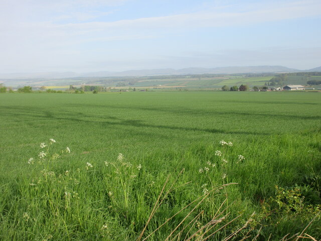
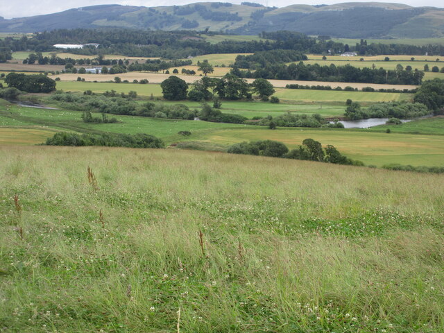
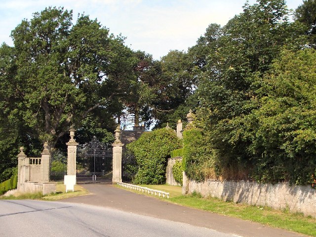
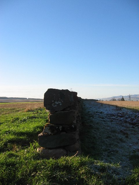
Cotton Wood, located in Perthshire, Scotland, is a picturesque forest known for its stunning natural beauty and diverse flora and fauna. Covering an area of approximately 100 hectares, this enchanting woodland offers visitors a tranquil escape from the hustle and bustle of urban life.
The forest is predominantly composed of cottonwood trees, hence its name, which provide a unique and ethereal atmosphere. These tall, elegant trees with their silver-white bark and heart-shaped leaves create a serene and calming ambiance throughout the woodland.
Cotton Wood is home to a wide variety of wildlife, making it a popular destination for nature enthusiasts and birdwatchers. Visitors may catch a glimpse of red squirrels, roe deer, and a multitude of bird species, including woodpeckers and owls. The forest also boasts a diverse range of plant life, with wildflowers, ferns, and mosses adding vibrant colors to the landscape.
The woodland offers several walking trails, catering to different levels of fitness and interests. These well-maintained paths guide visitors through the forest, allowing them to fully immerse themselves in the natural surroundings and appreciate the beauty of the area.
Cotton Wood is easily accessible, with ample parking facilities and well-signposted entrances. The forest is a popular destination for family outings, picnics, and nature walks. There are designated picnic areas and benches scattered throughout the woodland, providing visitors with the opportunity to relax and enjoy the peacefulness of their surroundings.
Overall, Cotton Wood is a hidden gem in Perthshire, offering visitors a chance to reconnect with nature and experience the tranquility of a beautiful Scottish forest.
If you have any feedback on the listing, please let us know in the comments section below.
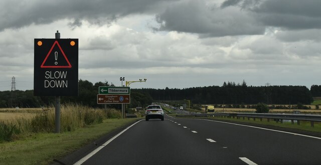
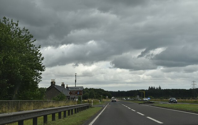
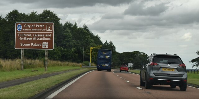
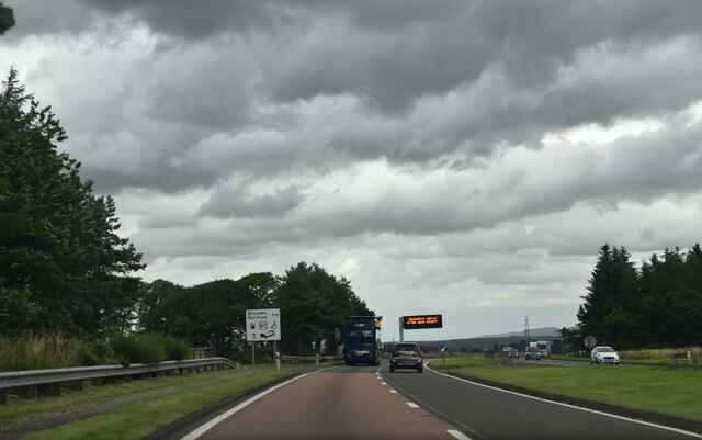
Cotton Wood Images
Images are sourced within 2km of 56.378902/-3.5114105 or Grid Reference NO0621. Thanks to Geograph Open Source API. All images are credited.


Cotton Wood is located at Grid Ref: NO0621 (Lat: 56.378902, Lng: -3.5114105)
Unitary Authority: Perth and Kinross
Police Authority: Tayside
What 3 Words
///flick.rear.trash. Near Almondbank, Perth & Kinross
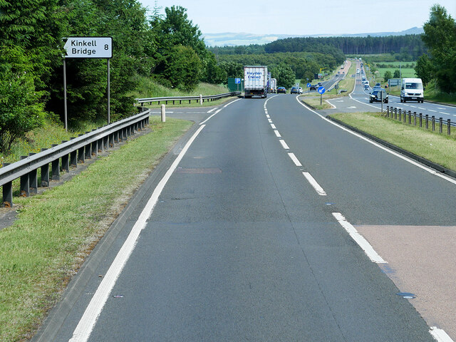
Nearby Locations
Related Wikis
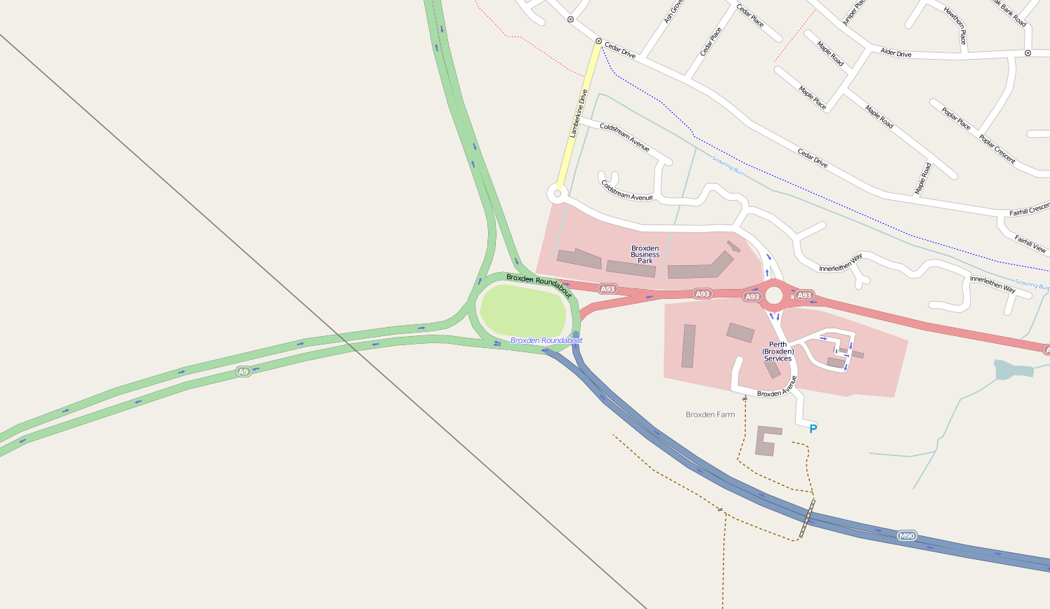
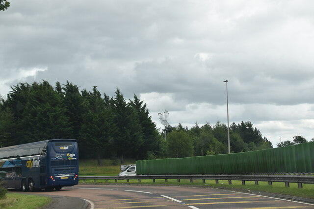
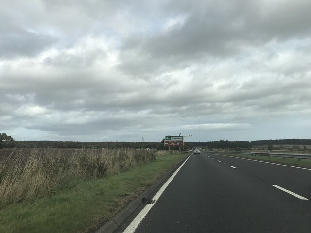
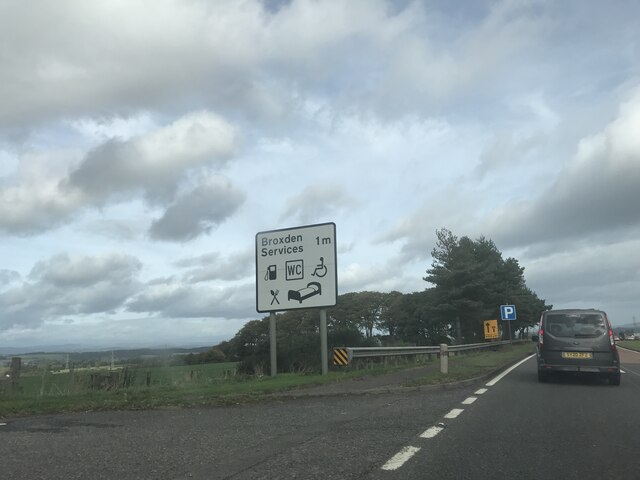
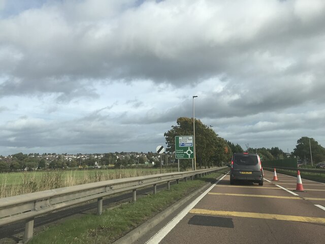
Broxden Junction
Broxden Junction (also known as Broxden Roundabout or Broxden Interchange) is one of the busier and more important road junctions in Scotland. It is located...

Aberdalgie
Aberdalgie (Gaelic: Obar Dheilgidh, 'Confluence of the Thorn-Stream') is a small village in the Scottish council area of Perth and Kinross. It is 3 miles...
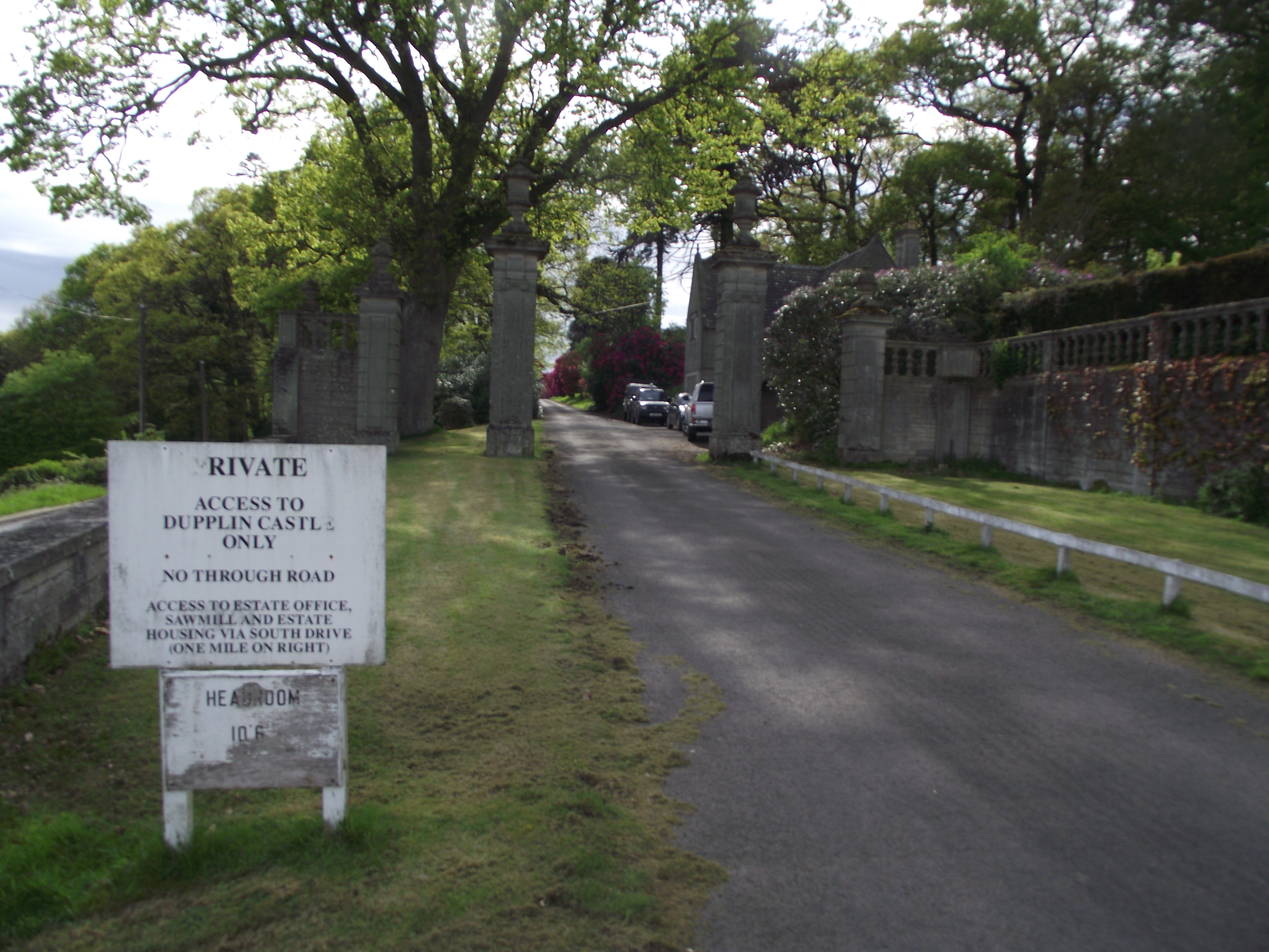
Dupplin Castle
Dupplin Castle is a country house and former castle in Perth and Kinross, Scotland, situated to the west of Aberdalgie and northeast of Forteviot and Dunning...

Battle of Tippermuir
The Battle of Tippermuir (also known as the Battle of Tibbermuir) (1 September 1644) was the first battle James Graham, 1st Marquis of Montrose, fought...

Tibbermore
Tibbermore is a small village situated about 4 miles (6 kilometres) west of Perth, Scotland. The parish extends to Aberuthven.Previously known as Tippermuir...
Forgandenny railway station
Forgandenny railway station served the village of Forgandenny, Perth and Kinross, Scotland from 1848 to 1956 on the Scottish Central Railway. == History... ==
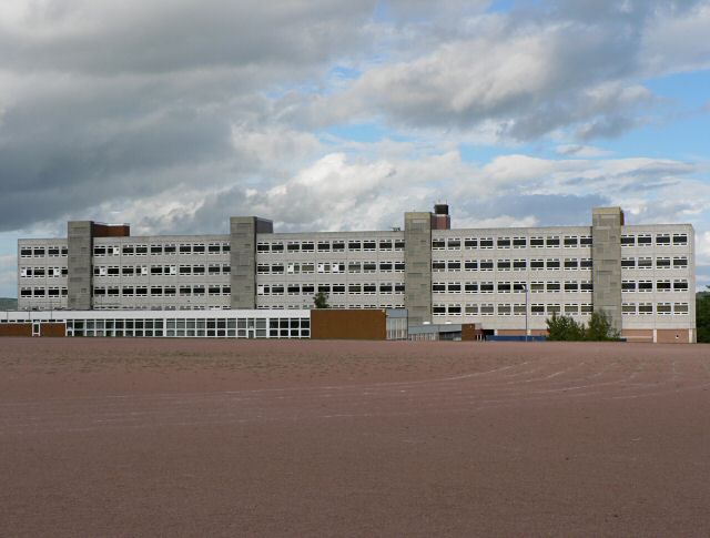
Perth High School
Perth High School is a six-year, non-denominational comprehensive secondary school in Perth, Scotland. Established in 1950 at Gowans Terrace in a post...
Cherrybank Gardens
Cherrybank Gardens was a public garden in the southwestern outskirts of the Scottish city of Perth. Originally Bell's Cherrybank Gardens, when it was created...
Nearby Amenities
Located within 500m of 56.378902,-3.5114105Have you been to Cotton Wood?
Leave your review of Cotton Wood below (or comments, questions and feedback).